The Company: 1700 to 1799
Maps and prints of the East Indies printed between 1700 and 1799. Every one a period original.
11 sheets
Set of 5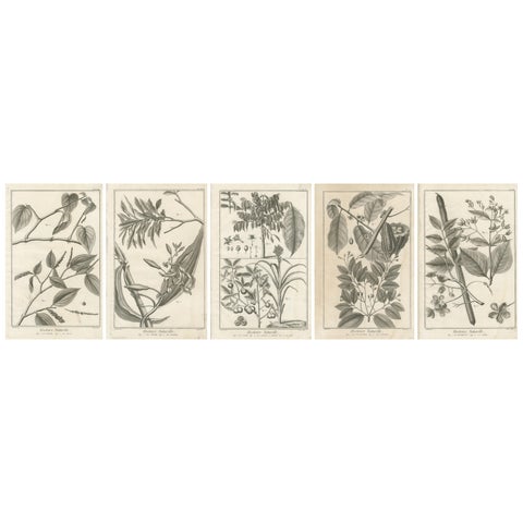
Flora and Fauna
Set of Five Antique Engravings of Spices and Colonial Crops by Diderot, 1770
1770 · 25 × 39 cm€360
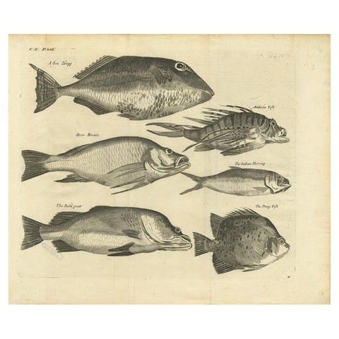
Flora and Fauna · Moluccas
Engraving of a Sea Hogg, Amboina Fish, Stone Bream, Indian Herring Etc, Ca. 1744
1744 · 41.5 × 34.7 cm€350
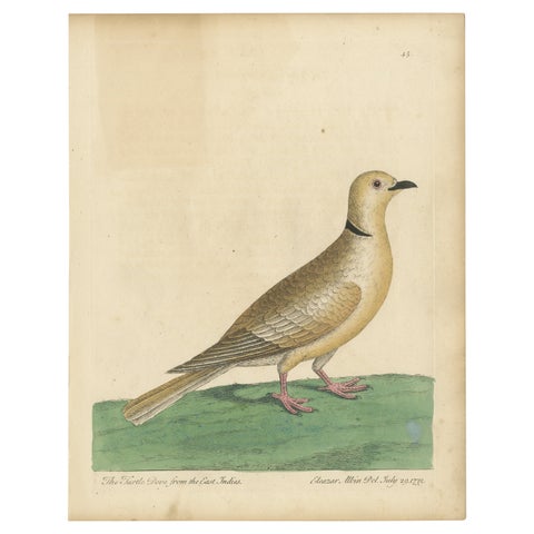
Flora and Fauna
Antique Bird Print of a Turtle Dove from the East Indies
1740 · 22.4 × 28.7 cm€300
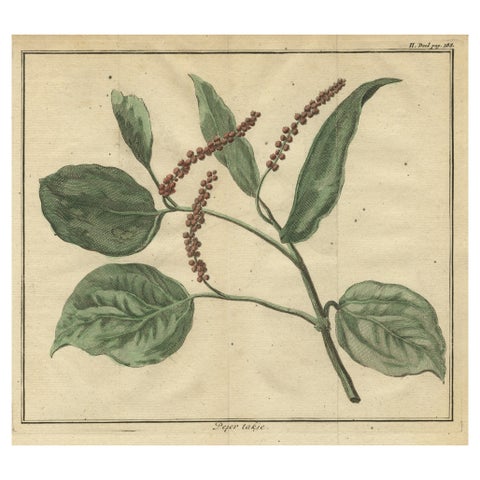
Flora and Fauna
Old Hand-Colored Copper Engraving of a Pepper Branch, 1739
1739 · 21.7 × 20 cm€220
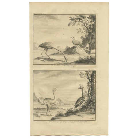
Flora and Fauna
Antique Bird Print of Various Birds by Valentijn, 1726
1726 · 20 × 33.5 cm€180
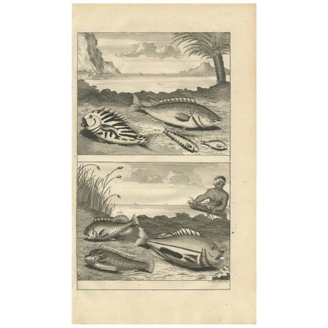
Flora and Fauna
Antique Print of Fish Species 'no. 461' by Valentijn '1726'
1726 · 20 × 34 cm€150
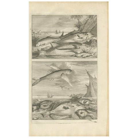
Flora and Fauna
Untitled Antique Print of Fish Species No. 451, Indonesia, 1726
1726 · 20 × 34 cm€150
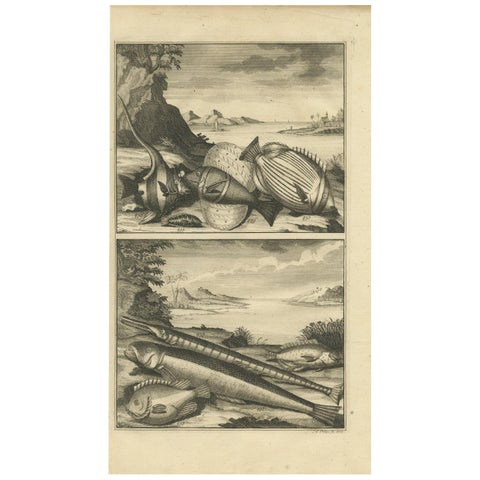
Flora and Fauna
Antique Print of Fish Species 'no. 449' by Valentijn '1726'
1726 · 20 × 34 cm€150
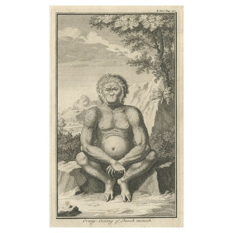
Flora and Fauna · Sumatra
Engraving of an Orang-Utan on Borneo 'Kalimantan' or Sumatra, Indonesia, 1739
1739 · 12 × 19.5 cm€140
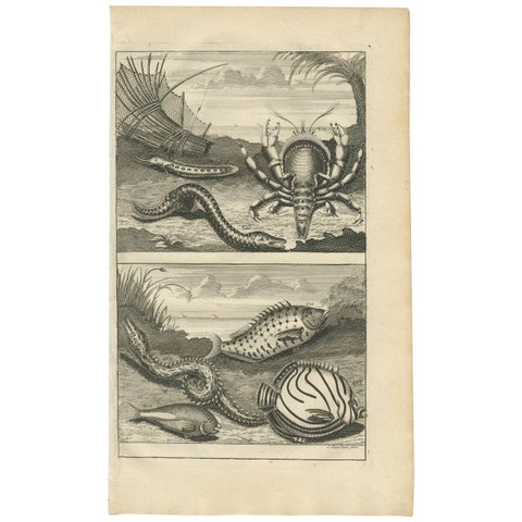
Flora and Fauna
Antique Print of Fish Species 'No. 468' by Valentijn, 1726
1726 · 20 × 34 cm€132
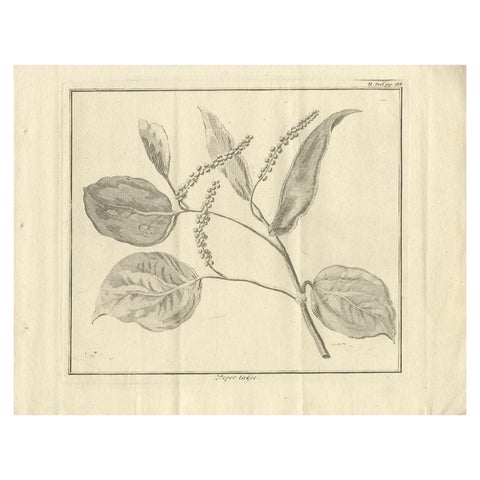
Flora and Fauna
Antique Print of a Pepper Branch, 1739
1739 · 27 × 21 cm€120