The Company: 1700 to 1799
Maps and prints of the East Indies printed between 1700 and 1799. Every one a period original.
318 sheets
Towns and Landscapes · Java
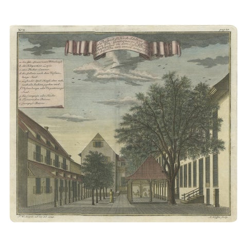
Old Print of the Governor-General's Residence in Batavia, Indonesia, 1739
1739 · 37 × 32 cm£655
The Company · Java
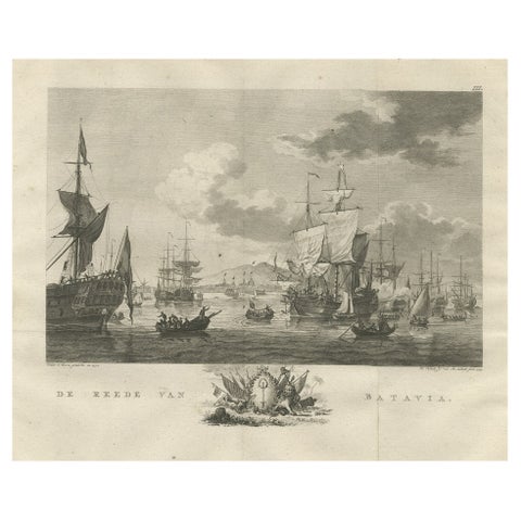
Old Print of VOC Ships in the Sea Near Batavia (Jakarta, Indonesia), 1779
1779 · 38.5 × 33 cm£655
Maps and Sea Charts
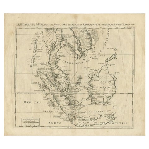
Antique Map of Southeast Asia by Chatelain, c.1732
1732 · 51 × 44.5 cm£650
Maps and Sea Charts · Moluccas
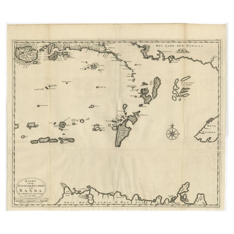
Original Antique Map Southeast of the Banda or Spice Islands, Indonesia, 1726
1726 · 59 × 50 cm£645
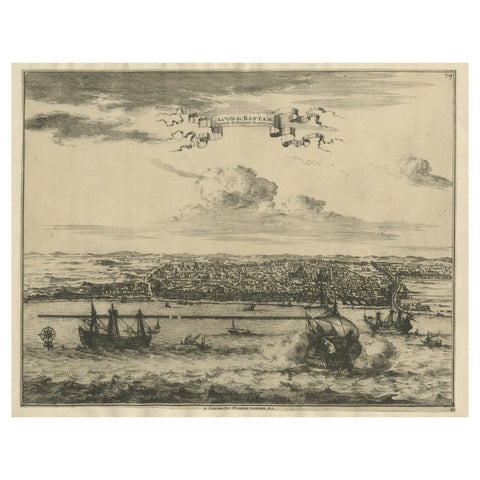
Towns and Landscapes · Java
View of the City Banten or Bantam Near the Western End of Java, Indonesia, c1725
circa 1725 · 41 × 30.5 cm£620
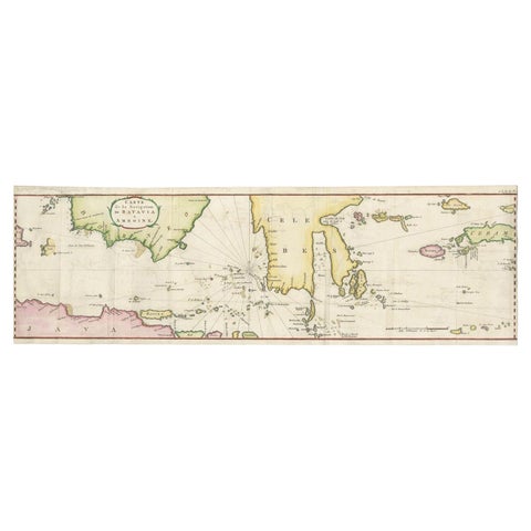
Maps and Sea Charts
Rare Authentic Engraved Map of Large Part of Indonesia by Stavorinus, 1779
1779 · 23 × 74.5 cm£620
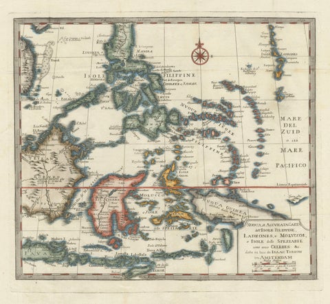
Maps and Sea Charts · Moluccas
Antique Map of the Philippines & Eastern Indonesia: Spice Islands by Tirion 1738
1738 · 48.7 × 37.6 cm£620
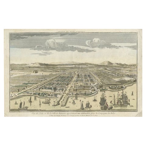
Towns and Landscapes · Java
Antique Print of Batavia or nowadays Jakarta, Indonesia, c.1755
1755 · 43 × 27.5 cm£610
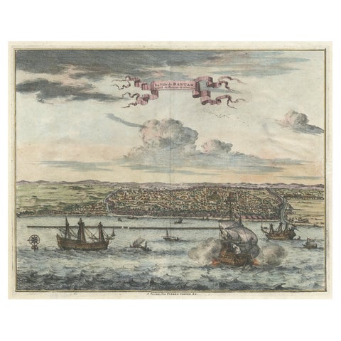
Towns and Landscapes · Java
Original Antique Bird's Eye View of Banten or Bantam in Java, Indonesia, 1725
1725 · 37.5 × 32 cm£605
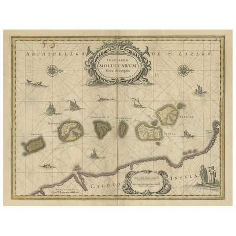
Maps and Sea Charts · Moluccas
Old Map of the Moluccas, Known as the Famous Spice Islands, Indonesia, ca.1730
1730 · 58.4 × 44 cm£580
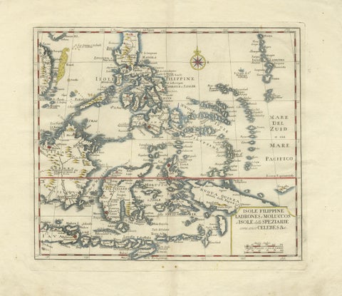
Maps and Sea Charts · Celebes
Antique Map Philippines, Moluccas, Celebes, Spice Islands, Tirion, c.1738
1738 · 48.7 × 37.6 cm£580
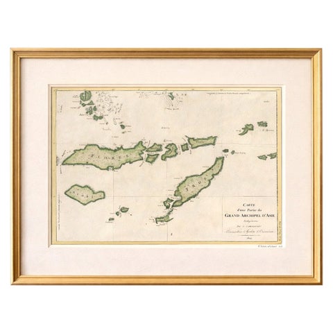
Maps and Sea Charts · Lesser Sunda
Antique Map of Flores, Timor and the Sunda Islands, French, c.1790
1790 · 56 × 32 cm£580
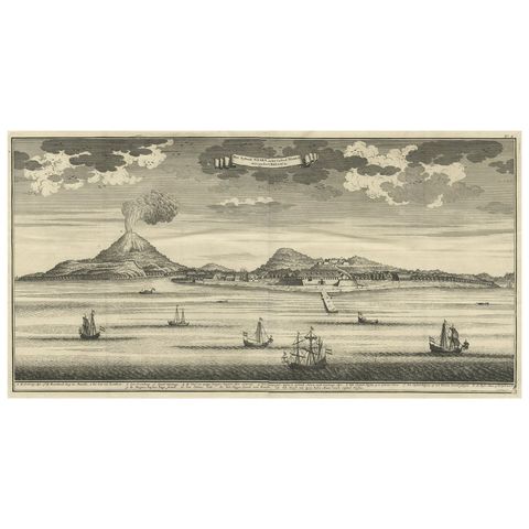
The Company · Moluccas
Beautiful Old View of Spice Island Banda Neira with Fort Nassau, Indonesia, 1726
1726 · 59 × 34 cm£575
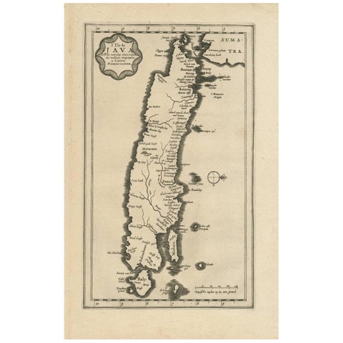
Maps and Sea Charts · Java
Antique Map of the Island of Java, Indonesia by P. Van Der Aa, 1713
1713 · 21.3 × 32.8 cm£570
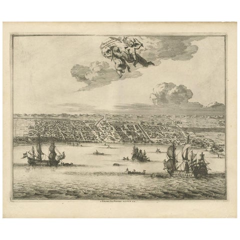
Towns and Landscapes · Celebes
Antique Print of Makassar 'South Sulawesi, Indonesia' by P. van der Aa
circa 1725 · 39.7 × 32.7 cm£555
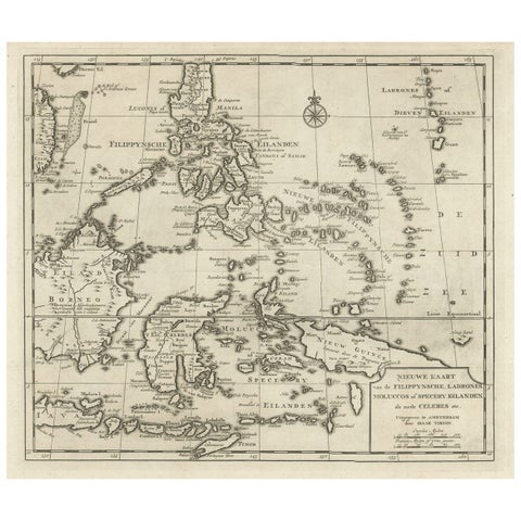
Maps and Sea Charts · Moluccas
Old Map of the Philippines and Part of Indonesia 'Spice Islands', 1744
1744 · 40 × 33.5 cm£555
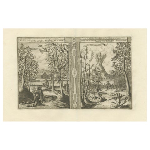
Towns and Landscapes
Exotic Bounty: The Spice Lands of the East Indies by R. de Hooghe, circa 1708
1708 · 49 × 38 cm£555
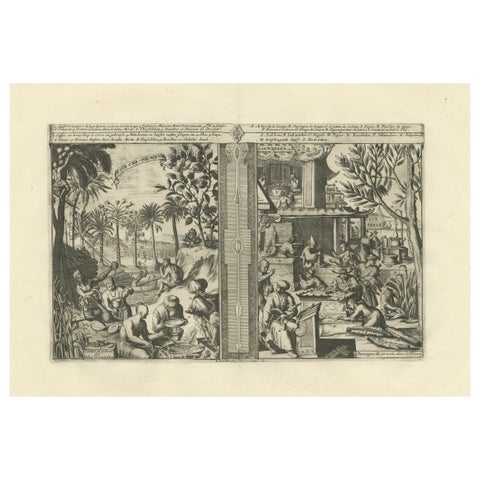
Towns and Landscapes
Global Harvests and Crafts: From the East Indies to Chinese Lacquerwork, c. 1708
1708 · 49 × 38 cm£555
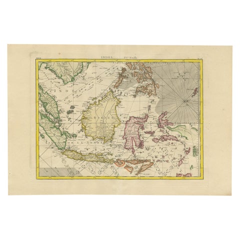
Maps and Sea Charts
Antique Map of the East Indies by Bonne '1776'
1776 · 37 × 54 cm£545
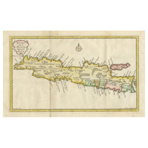
Maps and Sea Charts · Java
Scarce Antique Map of the Island of Java, Indonesia
1780 · 44.8 × 24.2 cm£545
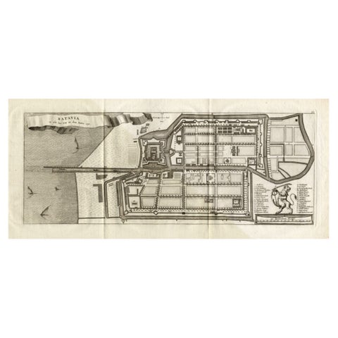
Maps and Sea Charts · Java
Antique Map of Batavia 'Jakarta, Indonesia', the Dutch East-Indies, 1782
1782 · 54 × 27.5 cm£535
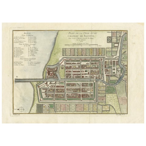
Maps and Sea Charts · Java
Hand-Colored 1750 Plan of Batavia, Colonial Jakarta, Indonesia by Jacques Bellin
1750 · 37.5 × 26.7 cm£535
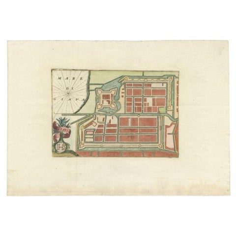
Maps and Sea Charts · Java
Antique Plan of Batavia in the Dutch East Indies or Nowadays Jakarta, Indonesia
circa 1720 · 49.5 × 34.5 cm£505
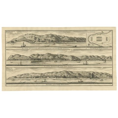
The Company
Antique Print of Fortifications in Indonesia by Valentijn '1726'
1726 · 61 × 34 cm£500
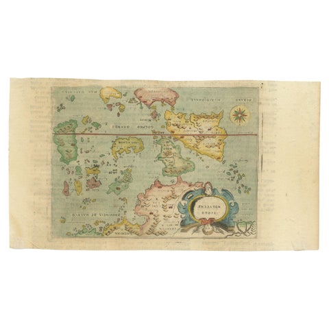
Maps and Sea Charts · Moluccas
Antique Miniature Map of the Maluku Islands by Lasor a Varea, 1713
1713 · 21.8 × 12 cm£500
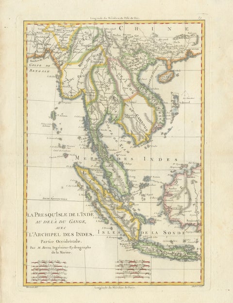
Maps and Sea Charts · Java
Elegant 18th Century Map of Southeast Asia, Siam, Sumatra & Java by Bonne, 1787
1787 · 31.5 × 45 cm£485
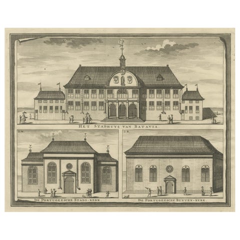
Towns and Landscapes · Java
View of the City Hall of Batavia and Portugese Church in Nowadays Jakarta, 1726
1726 · 42.5 × 33.5 cm£475
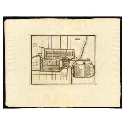
Maps and Sea Charts · Java
Antique Plan of Batavia, Capital of the Dutch East Indies, by Van Der Aa, 1725
1725 · 49 × 38 cm£475
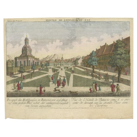
Towns and Landscapes · Java
Antique Print of the Town Hall of Batavia or Jakarta in Todays Indonesia, 1770
1770 · 41 × 33 cm£475
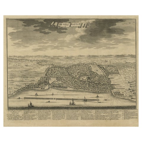
Towns and Landscapes · Java
Decorative View of the Indonesian Town of Bantam 'Banten', Java, 1726
1726 · 42.5 × 32.5 cm£470
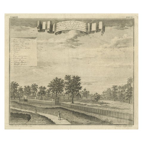
The Company · Java
Old Antique Print of Fort Noordwijk, Batavia in the Dutch East Indies, 1739
1739 · 33 × 26.5 cm£470
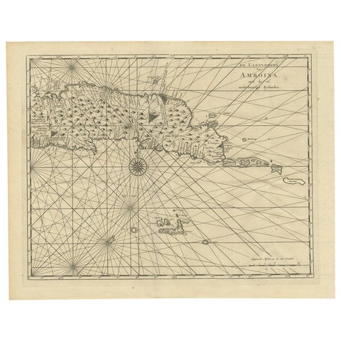
Maps and Sea Charts · Moluccas
Antique Map of Ambon and Surroundings by Valentijn '1726'
1726 · 43 × 34 cm£460
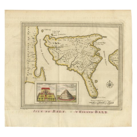
Maps and Sea Charts · Lesser Sunda
Anbtique Map of the Island of Bali by Van Schley '1755'
1755 · 28 × 25.5 cm£460
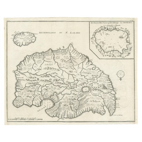
Maps and Sea Charts · Moluccas
Antique Map of Buru Island, Indonesia, c.1725
1725 · 40 × 32 cm£460
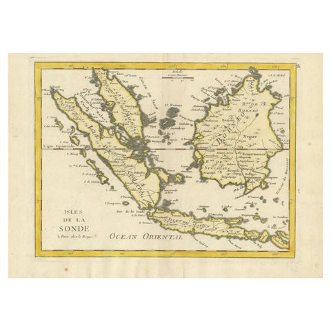
Maps and Sea Charts · Lesser Sunda
Old Original Antique Map of the Sunda Islands of Indonesia, 1756
1756 · 35 × 24.5 cm£460
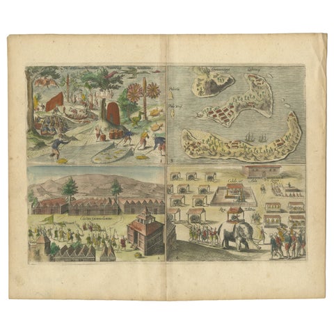
Towns and Landscapes · Moluccas
Antique Engravings of Mauritius and Indonesia, incl de Banda Islands, c.1730
1730 · 31.8 × 22.4 cm£460
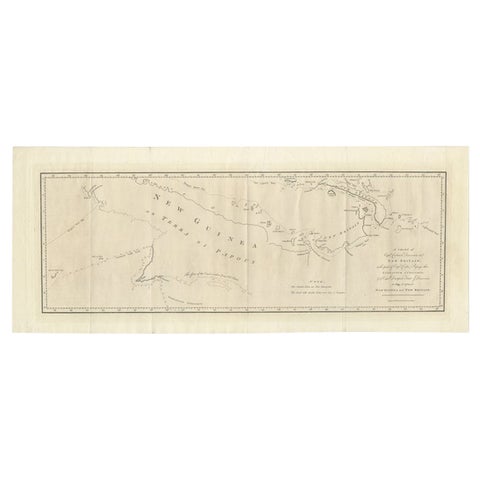
Maps and Sea Charts · New Guinea
Large Antique Map of New Guinea and New Britain Showing Capt. Cooks Tract, 1773
1773 · 29 × 71 cm£460
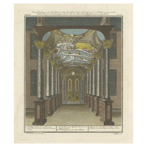
Towns and Landscapes · Java
Print of the Interior of the Governor General's Home on Java (Indonesia), 1739
1739 · 30.2 × 35.8 cm£460
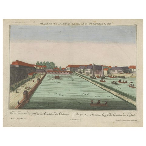
The Company · Java
Antique Print of Batavia Castle in Nowadays Jakarta, Indonesia, circa 1770
1770 · 49.5 × 39 cm£460
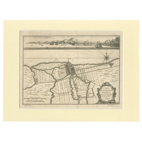
Maps and Sea Charts · Java
Old Engraving of Batavia 'Jakarta, Indonesia' with Map and Harbour View, 1750
1750 · 40 × 30 cm£460
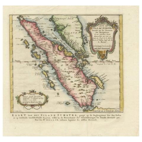
Maps and Sea Charts · Sumatra
Rare 1770 Bellin Map of Sumatra with Stunning Decorative Cartouches
1770 · 34.5 × 33.2 cm£460
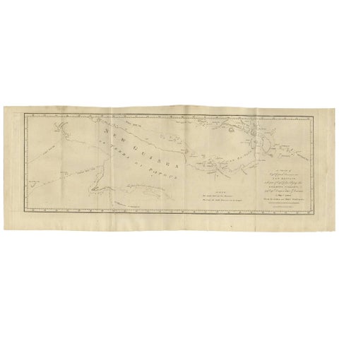
Maps and Sea Charts · New Guinea
Antique Map of New Guinea and New Britain by P. Carteret, circa 1773
1773 · 72.5 × 27 cm£460
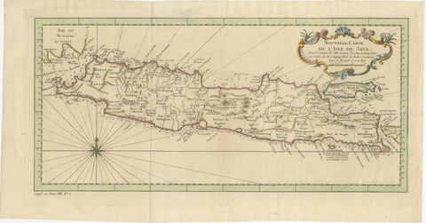
Maps and Sea Charts · Java
Antique Map of Java Indonesia, VOC Period, Decorative Cartouche, c.1750
1750 · 48.5 × 25.6 cm£460
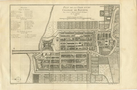
Maps and Sea Charts · Java
Antique Map of Batavia Jakarta Indonesia, Dutch East Indies, c.1750
1750 · 37.8 × 25 cm£455
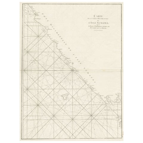
Maps and Sea Charts · Sumatra
Sea Chart of Part of the Southwestern Coast of Sumatra & Nias, Indonesia, C1775
1775 · 55 × 78 cm£450
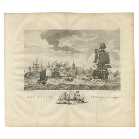
The Company · Java
Antique Print of Ships Near Onrust Island Near Jakarta, Indonesia, 1779
1779 · 33 × 38 cm£450
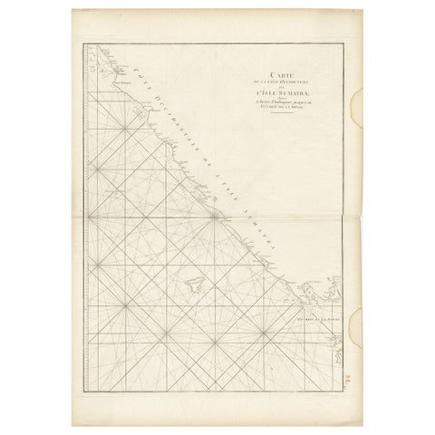
Maps and Sea Charts · Sumatra
Antique Sea Chart of the Coast of Sumatra, Indonesia, circa 1775
1775 · 55 × 78 cm£450
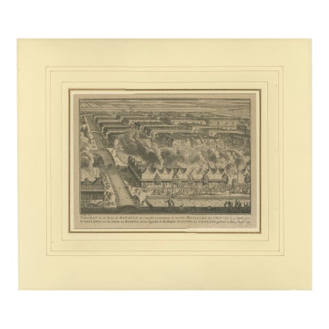
The Company · Java
1740 Batavia Chinese Massacre Engraving, Dutch Colonial Indonesia
1740 · 48 × 41 cm£450