The Company: 1700 to 1799
Maps and prints of the East Indies printed between 1700 and 1799. Every one a period original.
318 sheets
Maps and Sea Charts · Java
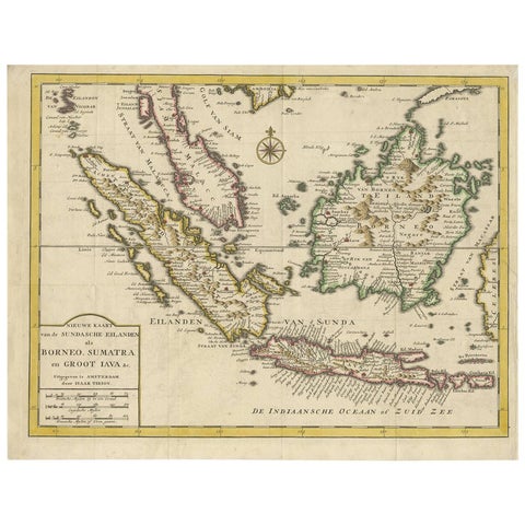
Antique Map of the Sunda Islands Sumatra, Java, Malay Peninsula & Borneo (1739)
1739 · 39.5 × 31 cm€539
The Company · Java
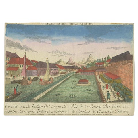
Rare Print of the Pearl Bastion of Castle Batavia in the Dutch East Indies, 1770
1770 · 40 × 29 cm€530
Towns and Landscapes · Java
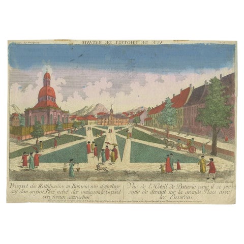
Old Print of the Town Hall of Batavia 'Jakarta' in the Dutch East Indies, 1770
1770 · 40 × 29 cm€530
The Company · Java
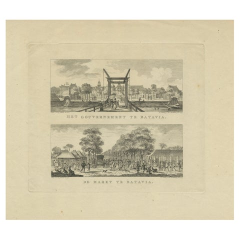
Batavia Market Scenes & Government House, Antique Prints VOC Period, c.1780
1780 · 41.2 × 33 cm€530
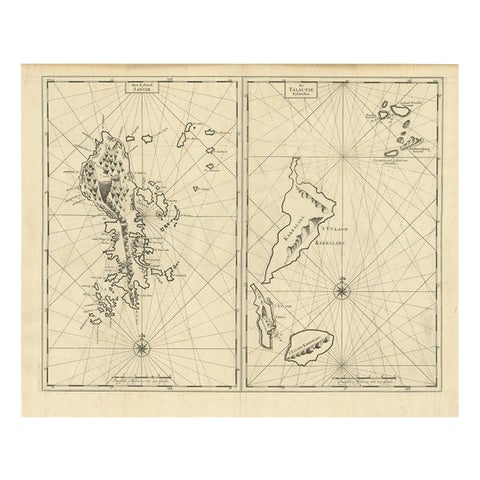
Maps and Sea Charts · Celebes
Antique Map of Sangir Island and the Talaud Islands by Valentijn, 1726
1726 · 64 × 52 cm€520
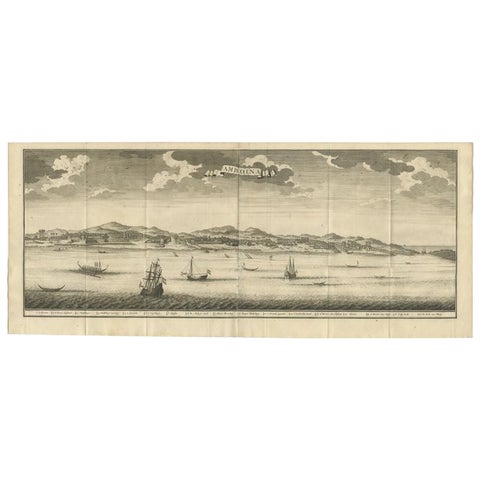
Towns and Landscapes · Moluccas
Antique Print of Ambon, Indonesia by Valentijn, 1726
1726 · 80 × 34 cm€520
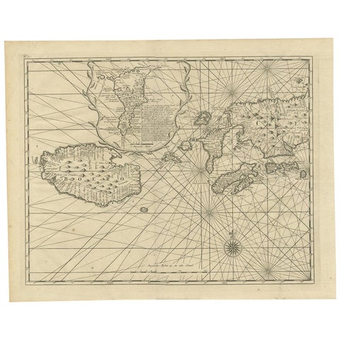
Maps and Sea Charts · Moluccas
Antique Map of Ambon and Boero by Valentijn, 1726
1726 · 42.5 × 34 cm€500
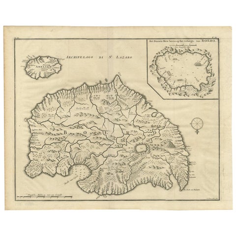
Maps and Sea Charts · Moluccas
Antique Map of Boero in Indonesia by Valentijn, 1726
1726 · 42 × 34 cm€500
Towns and Landscapes · Java
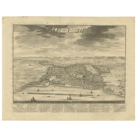
Antique Print of Bantam or Banten, Java, Indonesia, '1726'
1726 · 42.5 × 33 cm€500
Maps and Sea Charts · Celebes
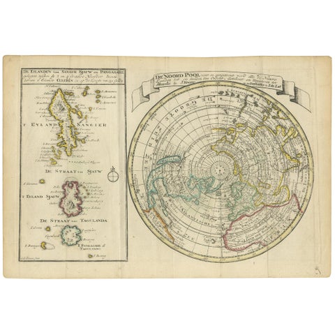
Antique Map of the North Pole & Sangihe Archipelago by Keizer & de Lat, 1788
1788 · 30 × 20.5 cm€500
The Company · Java
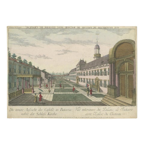
Antique Print of the Inner Courtyard of the Castle at Batavia by Habermann
circa 1770 · 40.5 × 28.5 cm€500
Maps and Sea Charts
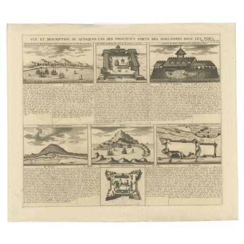
Antique Print of Forts and Views of the East Indies or Nowadays Indonesia, 1719
1719 · 49.5 × 42.5 cm€490
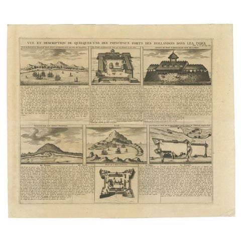
Maps and Sea Charts
Antique Print of Forts and Views of the East Indies by Chatelain (1719)
1719 · 51 × 43.5 cm€490
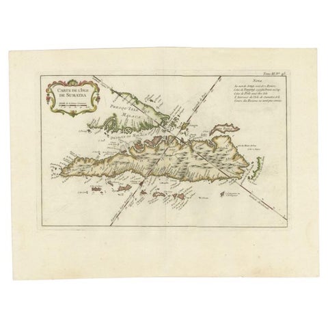
Maps and Sea Charts · Sumatra
Antique Map of Sumatra by Bellin, 1764
1764 · 43.5 × 32.5 cm€485
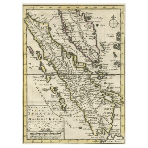
Maps and Sea Charts · Sumatra
Authentic Old Map of Sumatra, Malaysia and Singapore, 1745
1745 · 24 × 17 cm€480
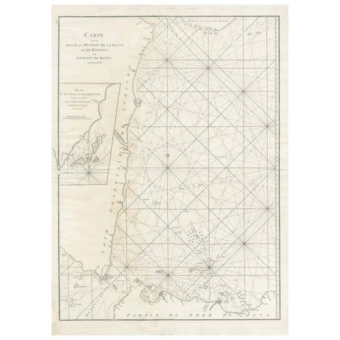
Maps and Sea Charts · Sumatra
Antique Sea Chart by J. B. d'Apres de Mannevillette, Sumatra, 1780
1780 · 53 × 76.7 cm€470
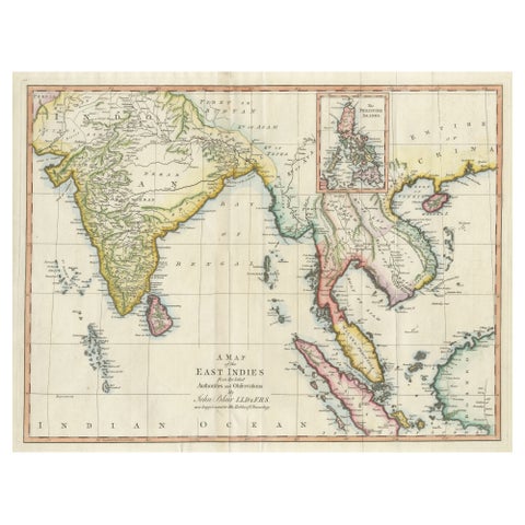
Maps and Sea Charts
Antique Map of the East Indies by T. Kitchin, Engraved, Circa 1779
1779 · 60.7 × 46.8 cm€470
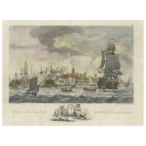
The Company · Java
1779 View of Onrust Island Near Batavia with VOC Shipyard Activity
1779 · 35.4 × 25.5 cm€470
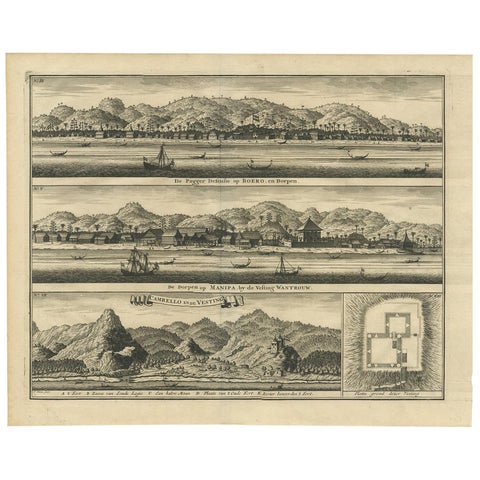
The Company · Moluccas
Antique Print of the Trading Posts of Ambon by Valentijn, 1726
1726 · 42.5 × 34 cm€450
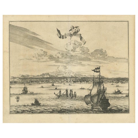
Towns and Landscapes · Moluccas
Antique Print of Amboina by Van der Aa, circa 1725
1725 · 39.5 × 33 cm€450
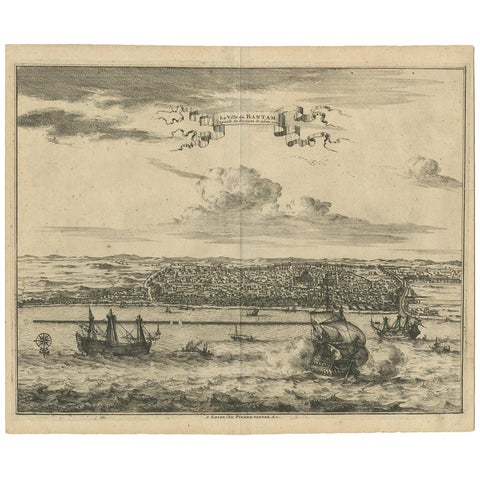
Towns and Landscapes · Java
Antique Print of Bantam by Van der Aa, circa 1725
1725 · 37 × 30.5 cm€450
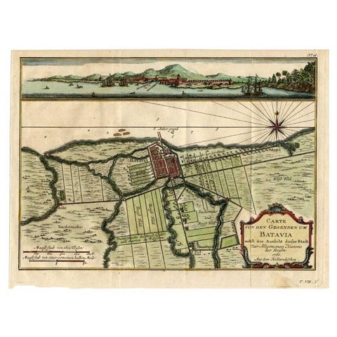
Maps and Sea Charts · Java
Antique Map of Batavia, Capital of The Dutch East Indies at the Time, 1751
1751 · 32 × 24.5 cm€450
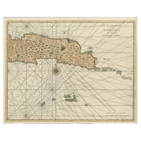
Maps and Sea Charts · Moluccas
Antique Map of Eastern Seram, Part of the Maluku Island in East Indonesia, 1726
1726 · 38.9 × 31 cm€450
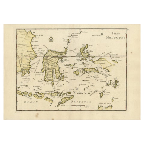
Maps and Sea Charts
Old Original Antique Map of the Islands of East Indonesia, 1756
1756 · 35 × 24.5 cm€450
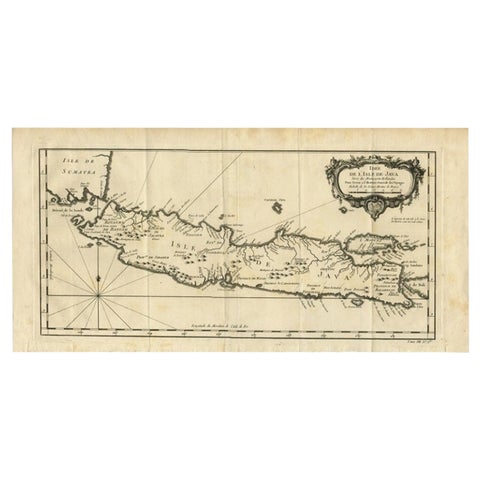
Maps and Sea Charts · Java
Antique Map of Java and Madura Island, Indonesia, c.1760
1760 · 24.5 × 50 cm€450
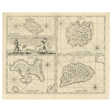
Maps and Sea Charts · Moluccas
Antique Map of Manipa and Other Maluku Islands, Indonesia, 1726
1726 · 52.5 × 61 cm€450
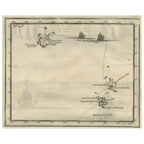
Maps and Sea Charts · Moluccas
Antique Map of the Banda Islands and the Route of Abel Tasman, Indonesia, 1726
1726 · 20 × 34 cm€450
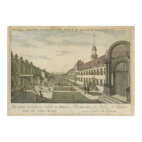
The Company · Java
Batavia Castle Church Courtyard, Vue d’Optique, Indonesia c.1770
1770 · 46 × 33.5 cm€450
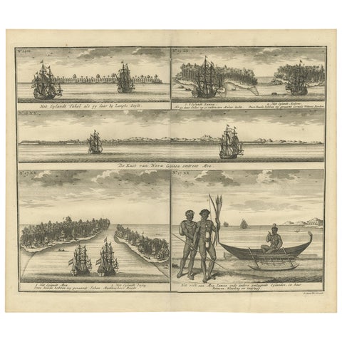
The Company · New Guinea
VOC Ships, Native People & Coastal Views of Islands near Papua New Guinea, 1726
1726 · 40 × 34 cm€440
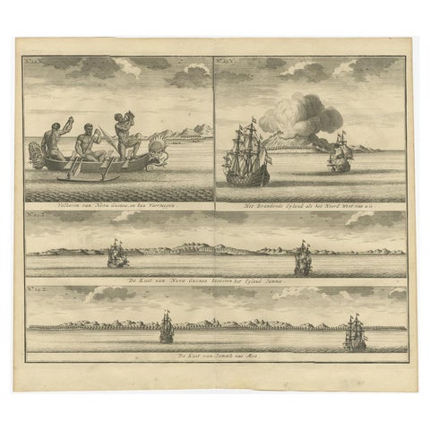
Towns and Landscapes · New Guinea
Old Print of VOC Ships & Native Fisherman and Coastal Views of New Guinea, 1726
1726 · 39 × 37 cm€440
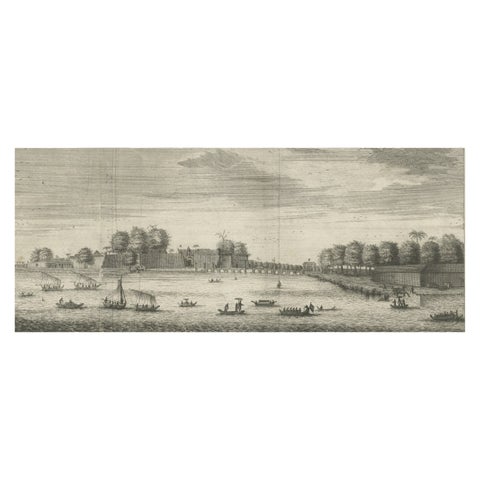
The Company · Java
The Castle of Batavia (Jakarta) in the Dutch East Indies (Indonesia), 1726
1726 · 39.8 × 32.3 cm€440
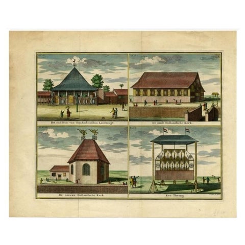
Towns and Landscapes · Moluccas
Antique Print with Four Views of Ambon, Indonesia, 1726
1726 · 46.9 × 38.8 cm€440
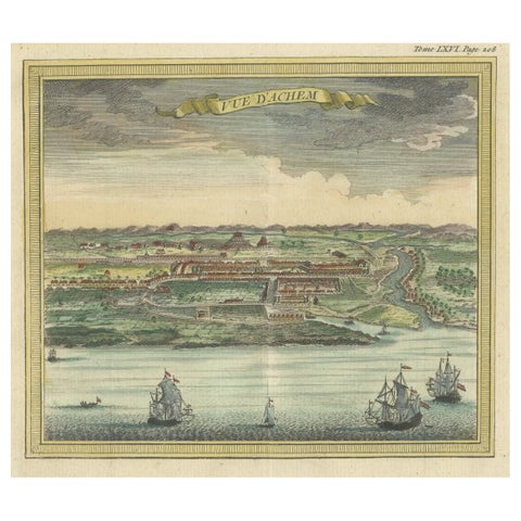
Towns and Landscapes · Sumatra
Antique Print with a View of Aceh, Sumatra in Indonesia
1766 · 15.5 × 15.5 cm€440
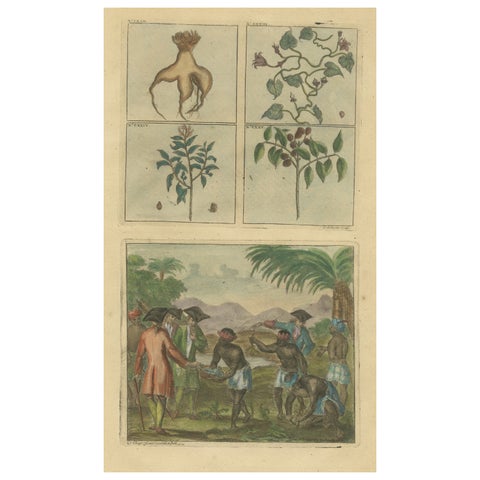
The Company
Colored Antique Print of Plants, Trees and Indonesian Natives with VOC Men, 1726
1726 · 20.5 × 33.5 cm€440
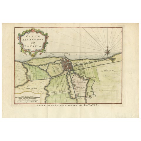
Maps and Sea Charts · Java
Map of Batavia’s Surroundings with Early Reference to Jakarta, Indonesia, c.1770
1770 · 35.7 × 25.2 cm€440
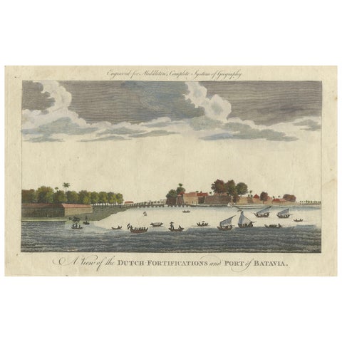
The Company · Java
1778 View of the Dutch Fortifications and Port of Batavia, Now Jakarta
1778 · 34.5 × 21.5 cm€440
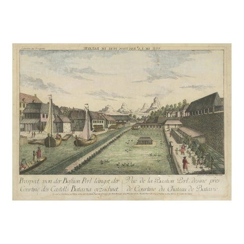
The Company · Java
Batavia Bastion Perl, Antique Optical Print of Indonesia, c.1770
1770 · 44.5 × 33.3 cm€440
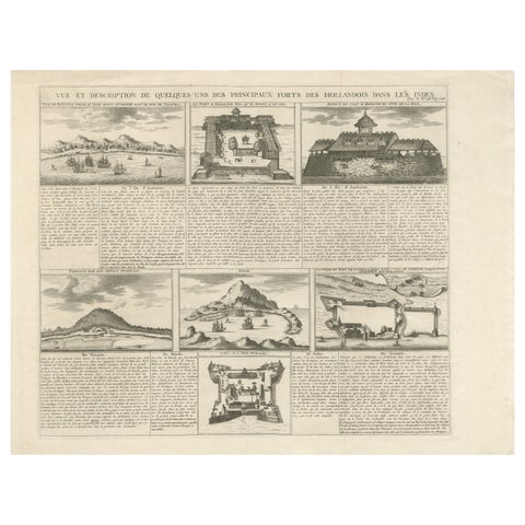
The Company · Java
Antique Dutch East Indies Forts Engraving, VOC Batavia, Ambon & Banda, c.1719
1719 · 50 × 41 cm€440
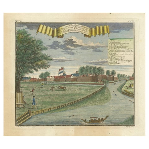
The Company · Java
Batavia Castle and Parade Ground, Hand-Colored Engraving by J.W. Heydt, 1738
1738 · 36.2 × 31 cm€430
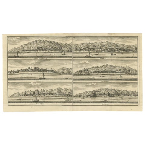
The Company
Antique Print of Trading Posts in Indonesia by Valentijn, 1726
1726 · 60.5 × 34 cm€425
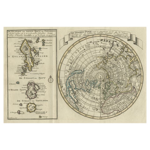
Maps and Sea Charts · Celebes
Nice Sheet of the Sangihe Archipelago in Indonesia & California Island, 1788
1788 · 30.5 × 20.5 cm€422
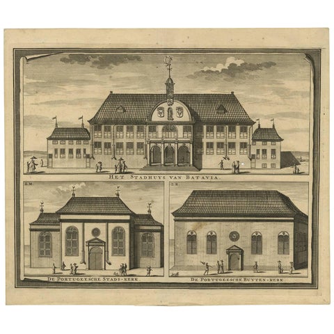
Towns and Landscapes · Java
Antique Print of the City Hall of Batavia 'Indonesia' by F. Valentijn circa 1725
1725 · 39 × 33.3 cm€415
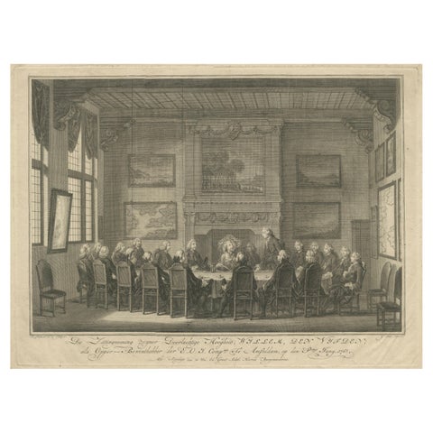
The Company
Meeting of the VOC Directors with Prince William V, Amsterdam 1768
1768 · 43 × 31.5 cm€410
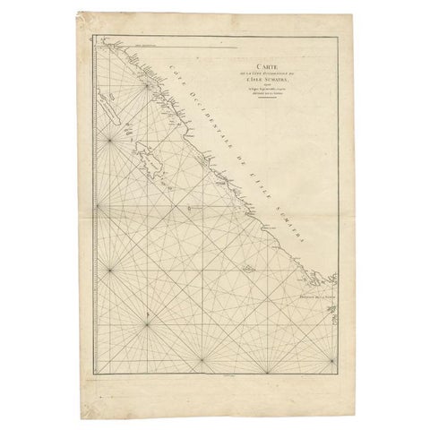
Maps and Sea Charts · Sumatra
Antique Map of the South-Western Coast of Sumatra by De la Haye, c.1780
1780 · 55 × 80 cm€405
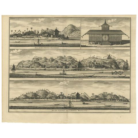
The Company · Moluccas
Antique Print of Hila and Fortresses by Valentijn '1726'
1726 · 41.5 × 34 cm€400
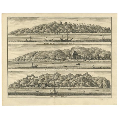
Towns and Landscapes · Moluccas
Antique Print with Three Views of Ambon by Valentijn, 1726
1726 · 42 × 34 cm€400
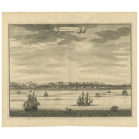
Towns and Landscapes · Celebes
Antique Print of Samboepo by Valentijn, 1726
1726 · 40 × 34 cm€400
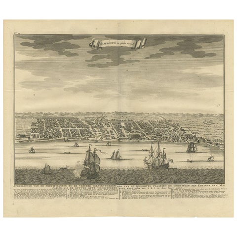
Maps and Sea Charts · Celebes
Antique Map of Samboepo by Valentijn, 1726
1726 · 40 × 34 cm€400