Search: New Guinea
61 sheets
Maps and Sea Charts · New Guinea
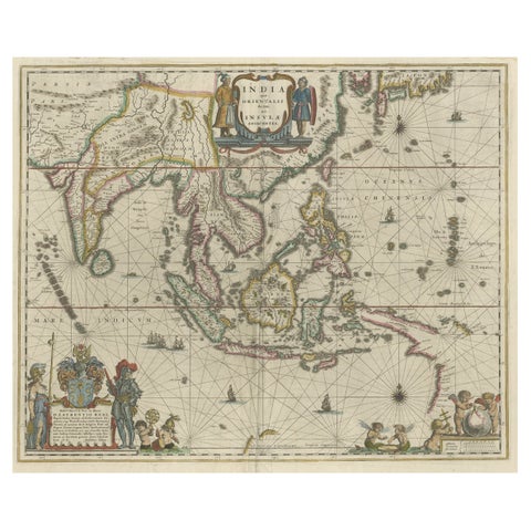
Original Blaeu Map of Southeast Asia from India to Tibet and Japan to New Guinea
1635 · 60 × 49.5 cm£2,930
Maps and Sea Charts · New Guinea
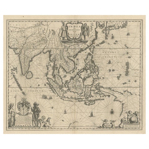
Map of Southeast Asia, Extending from India to Tibet & Japan to New Guinea, 1640
1640 · 60 × 50.5 cm£2,220
Maps and Sea Charts · Borneo
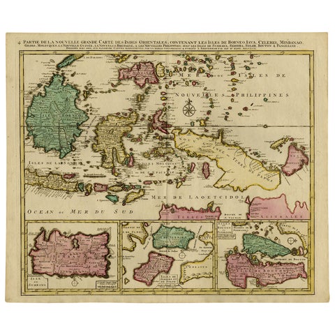
Old Map of Indonesian Islands Borneo, Celebes, New Guinea & New Britain, 1792
1792 · 66 × 55.3 cm£1,215
Maps and Sea Charts · Borneo
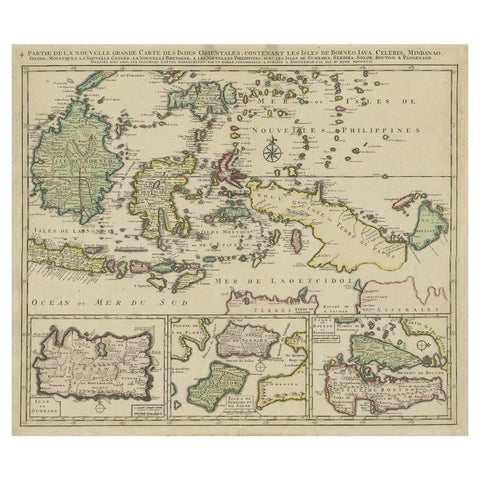
Old Map of the East Indonesian Islands Borneo, Celebes, New Guinea, Bali, 1792
1792 · 64.5 × 55 cm£1,045
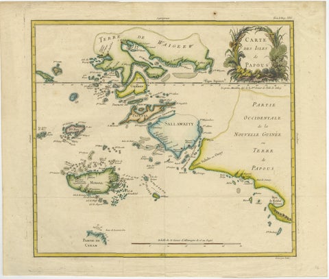
Maps and Sea Charts · New Guinea
Antique Map of Raja Ampat and New Guinea, Bellin, Papuan Islands c.1749
1749 · 44 × 36.5 cm£745
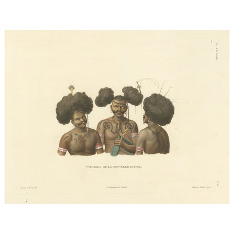
Peoples and Costume · New Guinea
Antique Print of Natives of New Guinea
Date not stated · 38.2 × 32.7 cm£685
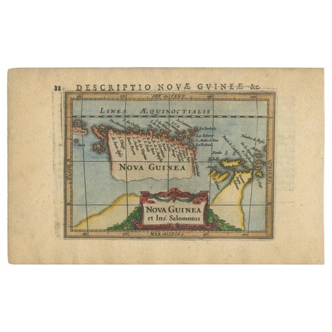
Maps and Sea Charts · New Guinea
Antique Miniature Map of New Guinea by Bertius, '1618'
1618 · 20 × 12.5 cm£545
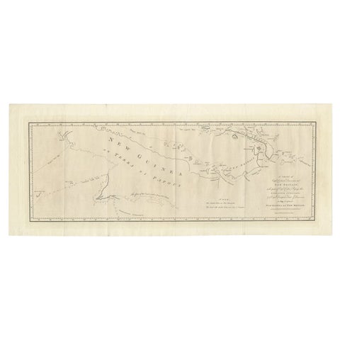
Maps and Sea Charts · New Guinea
Large Antique Map of New Guinea and New Britain Showing Capt. Cooks Tract, 1773
1773 · 29 × 71 cm£460
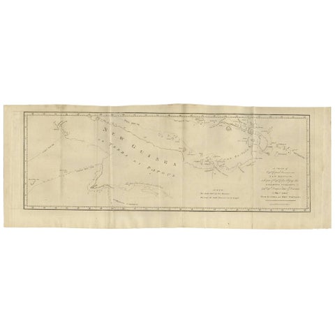
Maps and Sea Charts · New Guinea
Antique Map of New Guinea and New Britain by P. Carteret, circa 1773
1773 · 72.5 × 27 cm£460
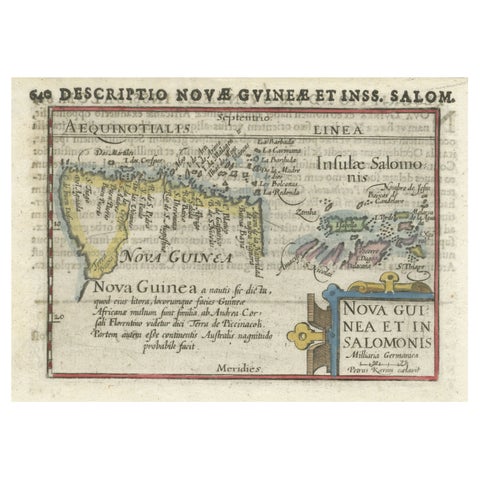
Maps and Sea Charts · New Guinea
Rare Original Miniature Map of Papua New Guinea and the Salomon Islands, 1600
1600 · 18 × 12 cm£450
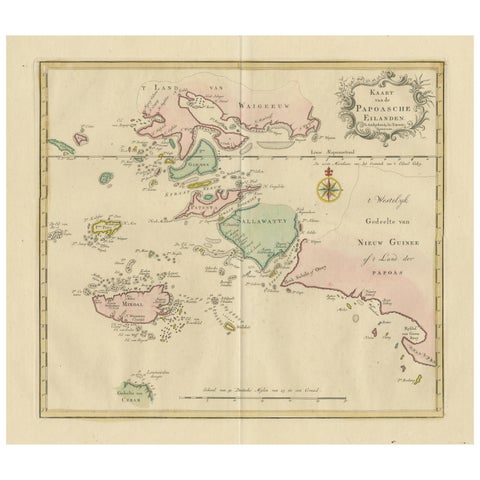
Maps and Sea Charts · Moluccas
Antique Map extending from the Spice Islands to the west of Papua New Guinea
Date not stated · 55 × 44 cm£410
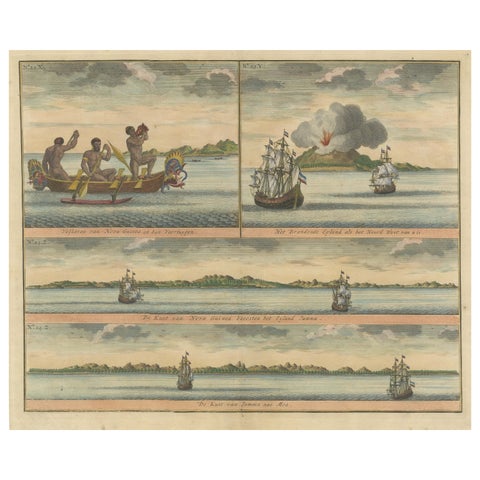
Towns and Landscapes · New Guinea
Colored Antique Print of New Guinea Fishermen and views of New Guinea
Date not stated · 39.5 × 33.5 cm£400
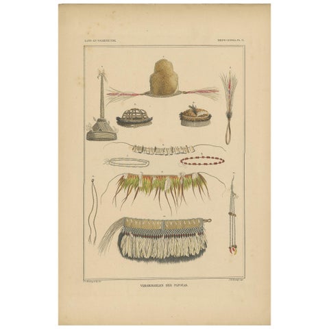
Peoples and Costume · New Guinea
Print with Papua Decoration 'New Guinea, Indonesia' by Temminck, circa 1840
1840 · 31 × 45 cm£375
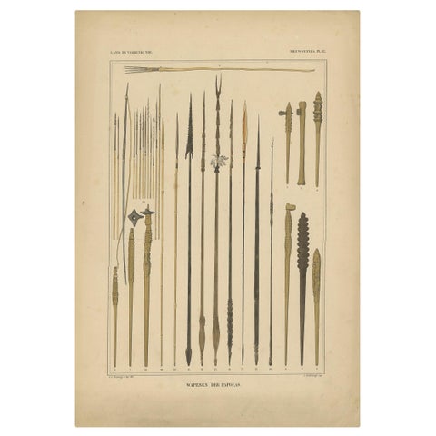
Peoples and Costume · New Guinea
Print with Weapons of Papua 'New Guinea, Indonesia' by Temminck, circa 1840
1840 · 31 × 45 cm£375
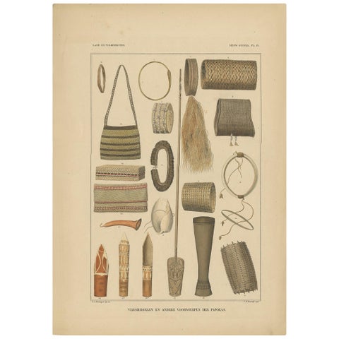
Peoples and Costume · New Guinea
Print with Items of Papua 'New Guinea, Indonesia' by Temminck, circa 1840
1840 · 31 × 45 cm£375
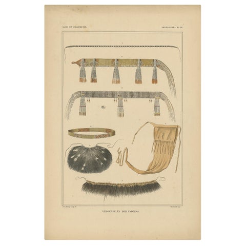
Peoples and Costume · New Guinea
Antique Print with Decorations 'New Guinea, Indonesia' by Temminck, circa 1840
1840 · 31 × 45 cm£375
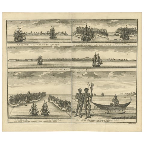
The Company · New Guinea
VOC Ships, Native People & Coastal Views of Islands near Papua New Guinea, 1726
1726 · 40 × 34 cm£370
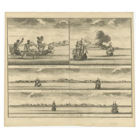
Towns and Landscapes · New Guinea
Old Print of VOC Ships & Native Fisherman and Coastal Views of New Guinea, 1726
1726 · 39 × 37 cm£370
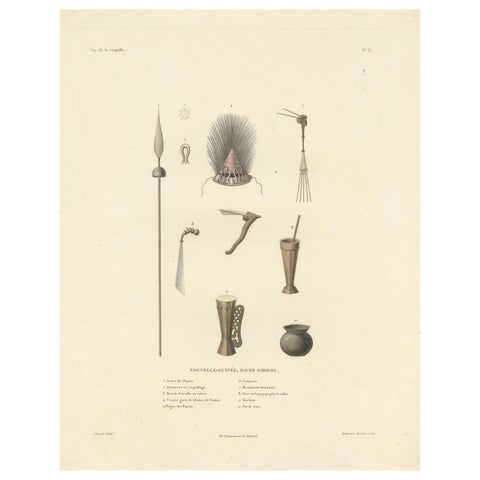
Peoples and Costume · New Guinea
Antique Print of Artifacts from the Haven of Doreri, New Guinea
Date not stated · 31.2 × 39.2 cm£370
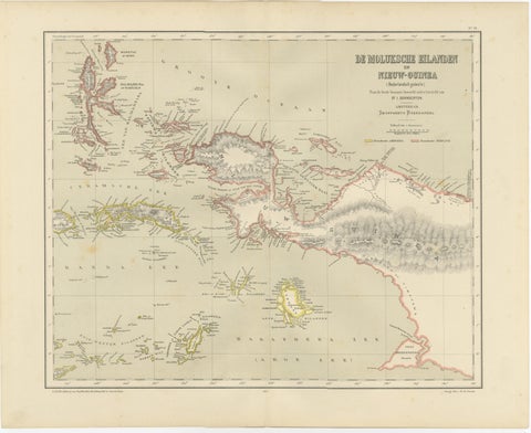
Maps and Sea Charts · Moluccas
Antique Colonial Dutch Map of the Moluccas & New Guinea by Dornseiffen, 1884
1884 · 48.5 × 39 cm£325
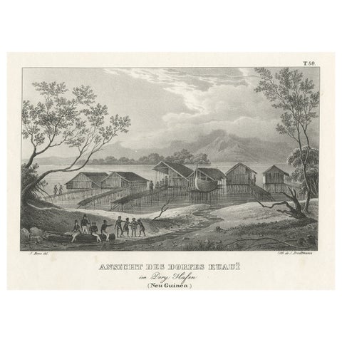
Towns and Landscapes · New Guinea
Original Lithograph with a Scene of a Village and Harbour in New Guinea, c.1836
1836 · 34 × 25 cm£300
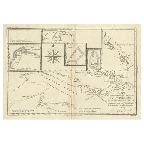
Maps and Sea Charts · New Guinea
Antique Detailed Map of Papua New Guinea and the Regions to the West, ca.1780
1780 · 38.7 × 29.1 cm£275
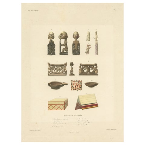
Peoples and Costume · New Guinea
Antique Print of Artifacts from New Guinea
Date not stated · 29.3 × 38.3 cm£270
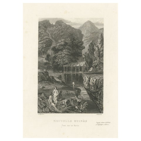
Towns and Landscapes · New Guinea
Antique Print of a Bridge over a Ravine in New Guinea
circa 1850 · 15.3 × 24.8 cm£200
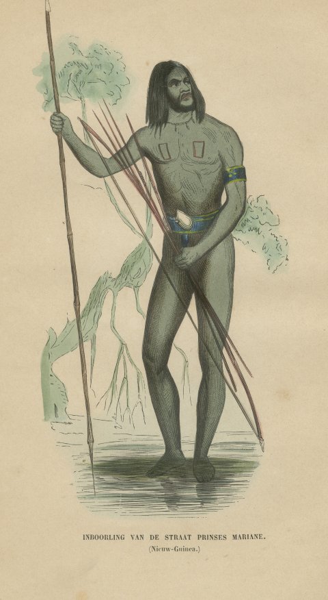
Peoples and Costume · New Guinea
New Guinea Islander of Prinses Marianne Strait, Hand-Colored Print, 1854
1854£155
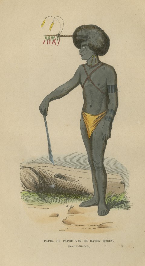
Peoples and Costume · New Guinea
Papuan Man of Dorey Harbor, New Guinea, Antique Hand-Colored Print, 1854
1854£155
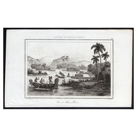
Towns and Landscapes · New Guinea
Antique Print of Dory Harbour, New Guinea, 1836
1836 · 21 × 13 cm£100
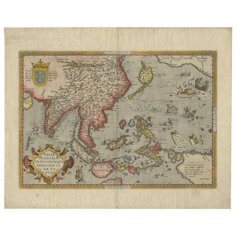
Maps and Sea Charts
Antique Ortelius Map of Asia Featuring Japan, China, Taiwan & East Indies, 1587
1587 · 49 × 35 cm£4,145
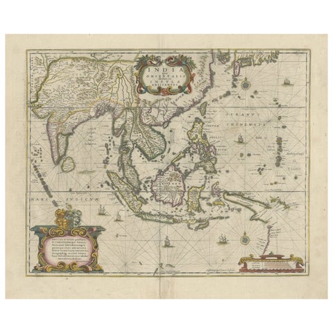
Maps and Sea Charts
Old Antique Map of the East Indies and Southeast Asia, ca.1644
1644 · 60 × 50 cm£2,220
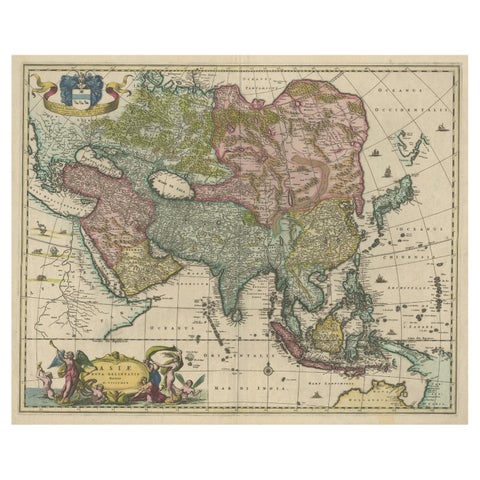
Maps and Sea Charts
Antique Map of Asia and the East Indies and Korea as a Peninsula, ca.1660
1660 · 61 × 50 cm£2,095
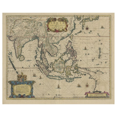
Maps and Sea Charts
Original Antique Hand-Colored Map of The East Indies and Southeast Asia, c.1644
1644 · 59 × 50 cm£2,095
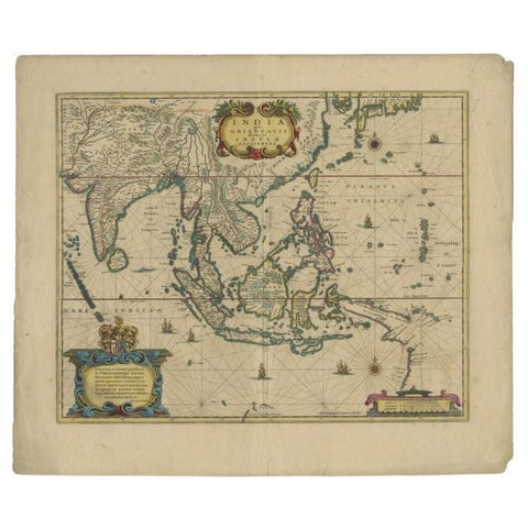
Maps and Sea Charts
Original Antique Map of the East Indies (Indonesia) by Janssonius, c.1644
1644 · 59.5 × 47 cm£2,095
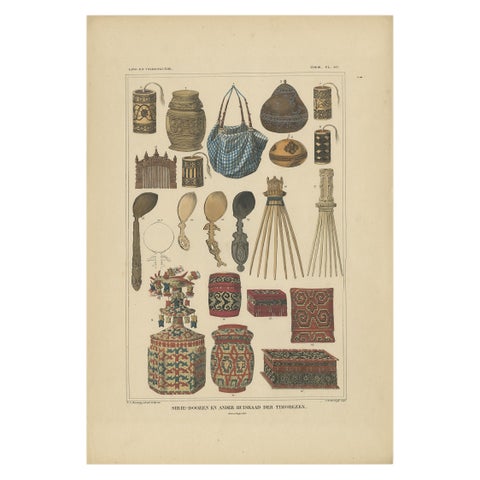
Peoples and Costume · Borneo
Set of 7 Decorative Antique Prints of Borneo, Timor and Papua Culture, ca. 1840
1840 · 31 × 45 cm£1,785
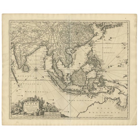
Maps and Sea Charts
Antique Map of Southeast Asia 'India, Indonesia' by N. Visscher, circa 1670
1670 · 63.6 × 52.7 cm£1,635
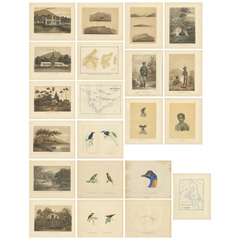
Towns and Landscapes · New Guinea
Set of 21 Antique Prints Illustrating the Travels to Cenderawasih Bay, 1875
1875 · 22.5 × 28 cm£1,300
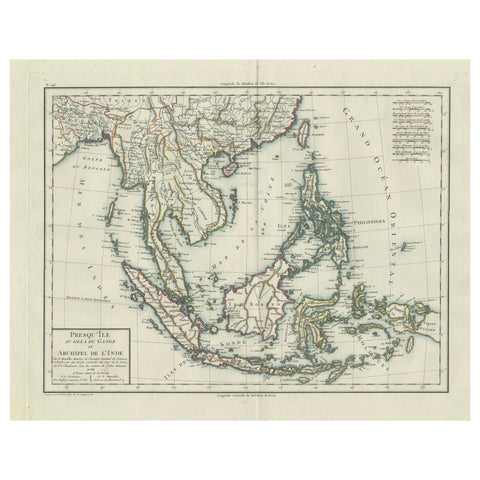
Maps and Sea Charts
1797 Tardieu Map of Southeast Asia: The Malay Archipelago and Beyond
1797 · 48.5 × 64 cm£965
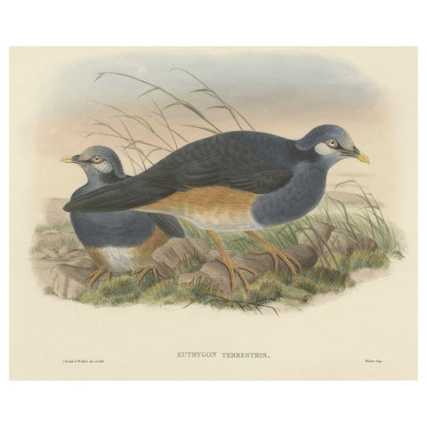
Flora and Fauna · New Guinea
Original Antique Hand-Colored Print of the Papuan Ground-Pigeon Bird, ca.1875
1875 · 53.5 × 35.5 cm£825
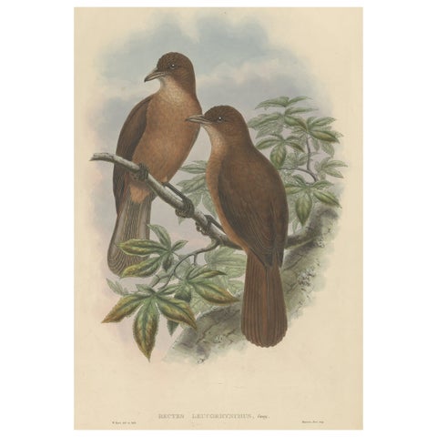
Flora and Fauna · New Guinea
Antique Bird Print of the White-Billed Wood-Shrike of Papua by Gould, ca.1880
1880 · 38.5 × 56 cm£810
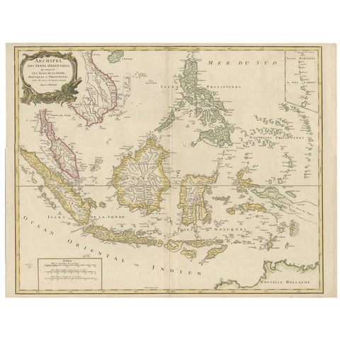
Maps and Sea Charts
Antique Map of the Indonesian and Philippine Archipelagos by R. de Vaugondy
Date not stated · 63.8 × 49.5 cm£650
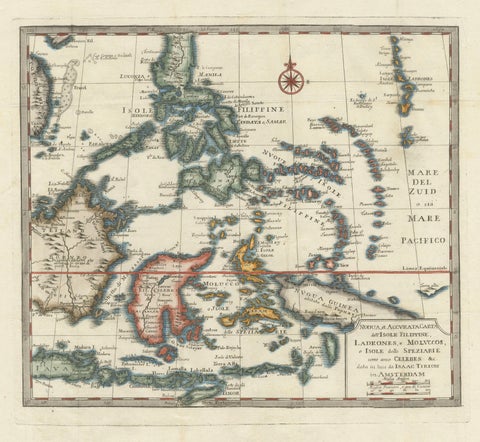
Maps and Sea Charts · Moluccas
Antique Map of the Philippines & Eastern Indonesia: Spice Islands by Tirion 1738
1738 · 48.7 × 37.6 cm£620
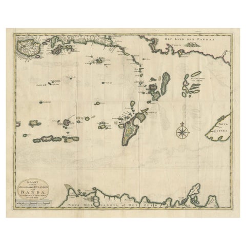
Maps and Sea Charts · Moluccas
Old Antique Map of the Banda Islands (Southeast), Indonesia & Northern Australia
Date not stated · 61 × 51.5 cm£585
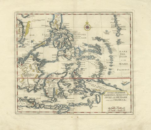
Maps and Sea Charts · Celebes
Antique Map Philippines, Moluccas, Celebes, Spice Islands, Tirion, c.1738
1738 · 48.7 × 37.6 cm£580
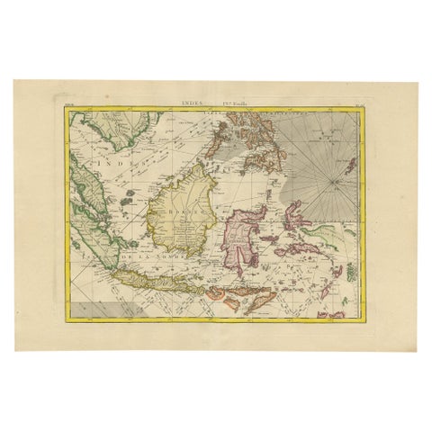
Maps and Sea Charts
Antique Map of the East Indies by Bonne '1776'
1776 · 37 × 54 cm£545
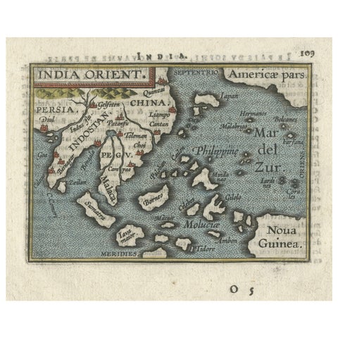
Maps and Sea Charts · New Guinea
1601 Miniature Map of Southeast Asia & Nova Guinea by Ortelius, Vrients Edition
1601 · 15.5 × 12 cm£450
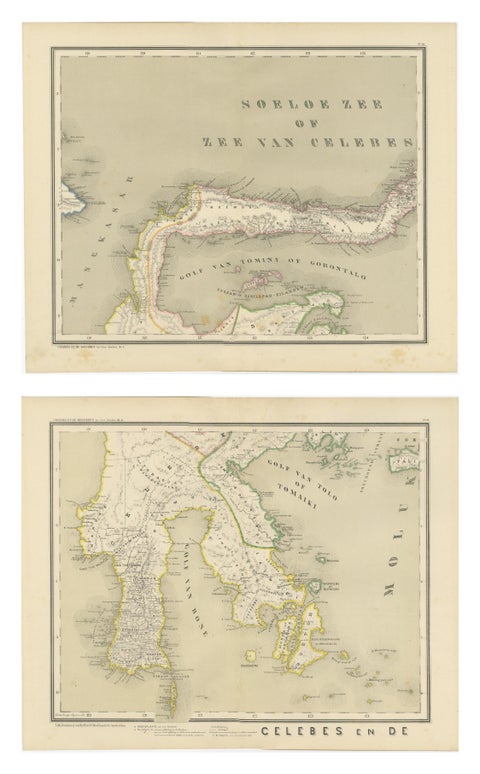
Maps and Sea Charts · Celebes
Antique Two-Sheet Map of Celebes Sulawesi, Dornseiffen, Dutch East Indies, 1884
1884 · 48.5 × 39 cm£370
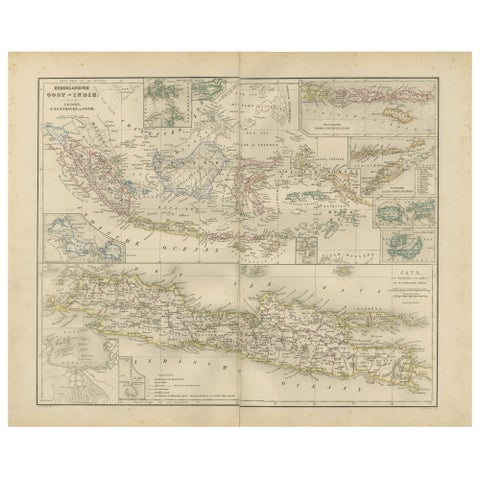
Maps and Sea Charts · Java
Netherlands East Indies Map with Java Inset, Nieuwe Hand-Atlas, 1876
1876 · 55 × 44 cm£345
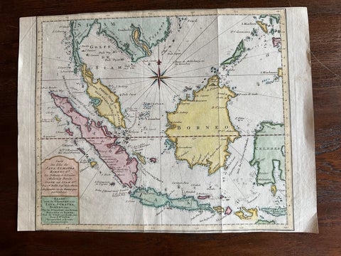
Maps and Sea Charts · Java
Original Map of the East Indies Including Sumatra, Java, Borneo & Malaysia, 1755
1755 · 33 × 24.5 cm£295
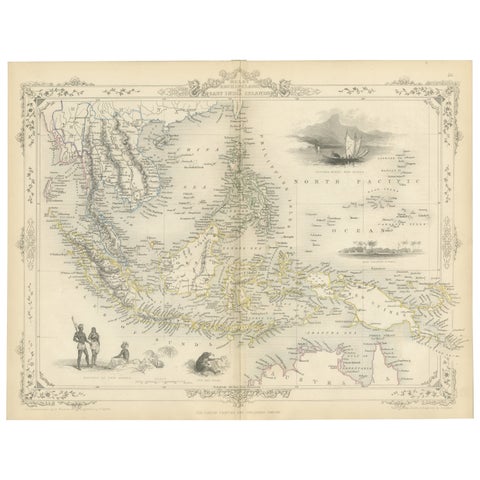
Maps and Sea Charts
Antique Map of the Malay Archipelago with Images of Indigenous People, 1851
1851 · 36.2 × 27.2 cm£285