Every map and print
1,015 sheets
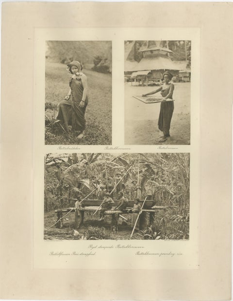
Peoples and Costume · Sumatra
Batik, Sifting Rice & Women Working, Antique Photogravure of Batak People 1900
1900 · 34 × 45 cm$415
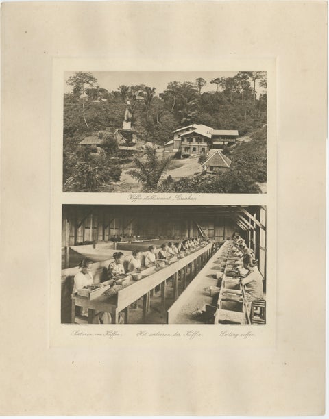
Towns and Landscapes · Sumatra
Coffee Establishment Girsahan & Sorting Coffee, Antique Photos Sumatra, c.1900
1900 · 34 × 45 cm$415
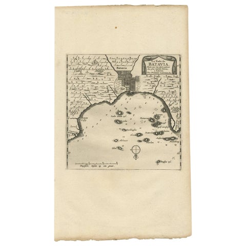
Maps and Sea Charts · Java
Antique Map of Batavia, Jakarta, Indonesia by P. Van Der Aa, 1719
1719 · 19 × 33 cm$410
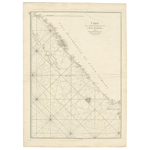
Maps and Sea Charts · Sumatra
Antique Coastal Map of Sumatra by De La Haye, circa 1780
1780 · 55.5 × 76.5 cm$405
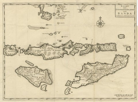
Maps and Sea Charts · Moluccas
Antique Map of the Banda Islands in Indonesia by Valentijn, 1726
1726 · 51.5 × 41.5 cm$405
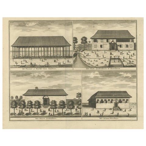
Towns and Landscapes · Moluccas
Antique Print with Four Views of Ambon ii by Valentijn, 1726
1726 · 42.5 × 34 cm$405
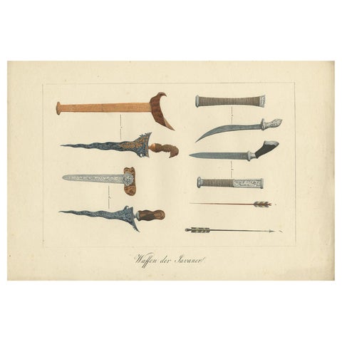
Peoples and Costume · Java
Decorative Antique Print of Traditional Weapons of the Javanese, Indonesia, 1830
1830 · 36.5 × 24.5 cm$405
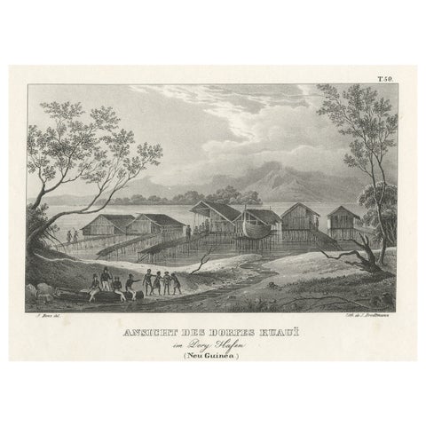
Towns and Landscapes · New Guinea
Original Lithograph with a Scene of a Village and Harbour in New Guinea, c.1836
1836 · 34 × 25 cm$405
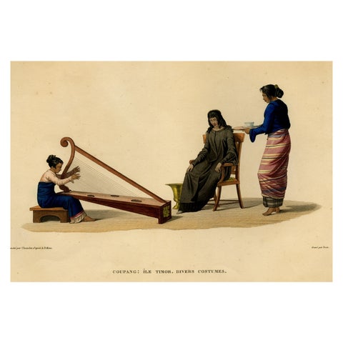
Peoples and Costume · Lesser Sunda
Print of Timorese Ladies Playing Harp & Drinking Tea in Kupang, Indonesia, 1825
1825 · 50 × 33.5 cm$405
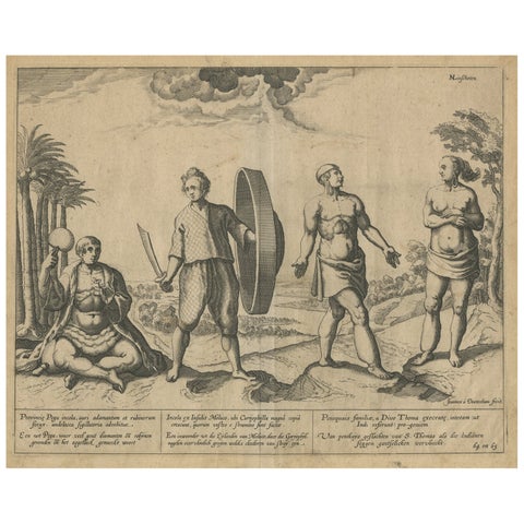
Peoples and Costume · Moluccas
Natives from Pegu, the Moluccan Islands, Penequais Indians and St Thomas, c.1605
1605 · 35.5 × 30 cm$405
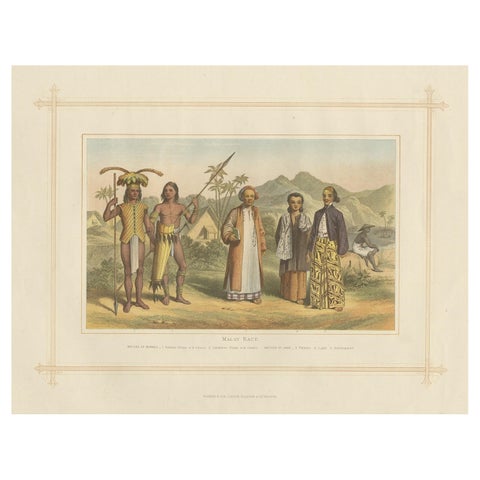
Peoples and Costume · Borneo
Antique Chromolithograph Depicting Native Malays, Incl Dayaks of Borneo, 1882
1882 · 35.5 × 28 cm$405
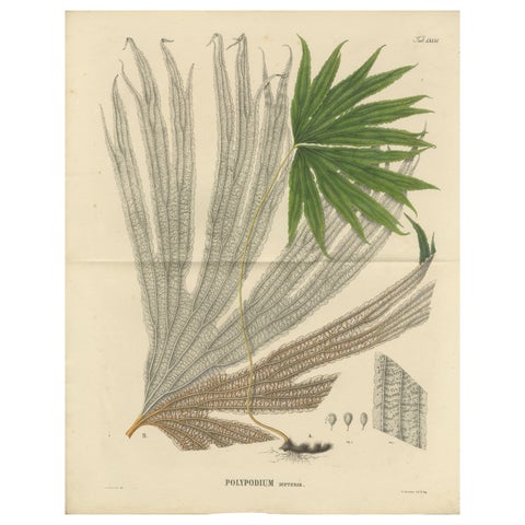
Flora and Fauna
Large, Uniquely Handcolored Lithograph of Ferns of Indonesia 'Polypodium', 1829
1829 · 44.5 × 55 cm$405
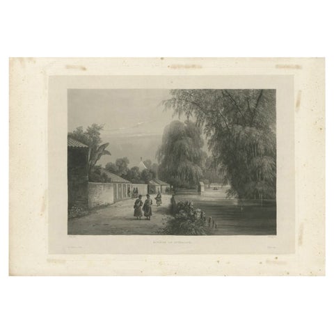
Towns and Landscapes · Java
Antique Print of the Surabaya River, Java Island, in Indonesia, 1835
1835 · 48 × 33.5 cm$405
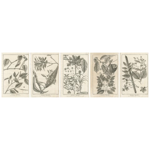
Flora and Fauna
Set of Five Antique Engravings of Spices and Colonial Crops by Diderot, 1770
1770 · 25 × 39 cm$405
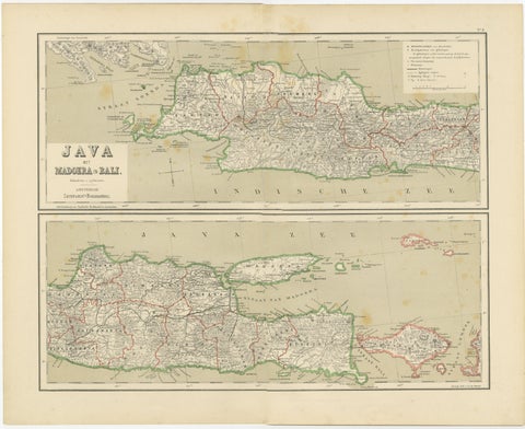
Maps and Sea Charts · Java
Old Map of Java, Madura & Bali, Dutch East Indies Colonial Cartography, 1884
1884 · 48.5 × 39 cm$405
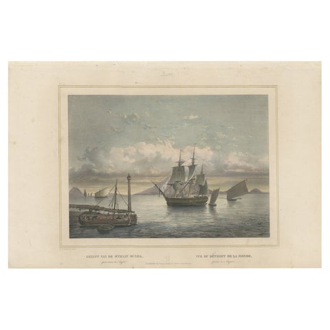
The Company · Java
Old Print of Ships near Anyer & Krakatoa in the Sunda Straits, Indonesia, 1844
1844 · 47 × 31 cm$400
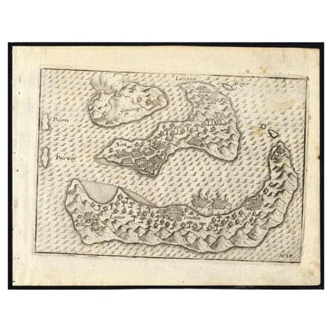
Maps and Sea Charts · Moluccas
Antique Map of the Banda Islands by Commelin, 1646
1646 · 23 × 17.5 cm$395
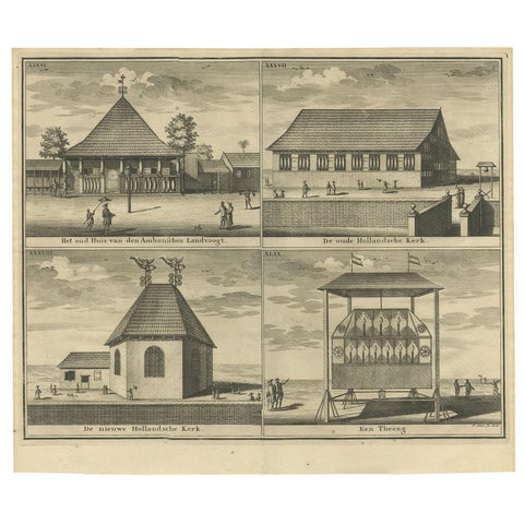
Towns and Landscapes · Moluccas
Antique Print with Four Views of Ambon by Valentijn '1726'
1726 · 39.5 × 34 cm$390
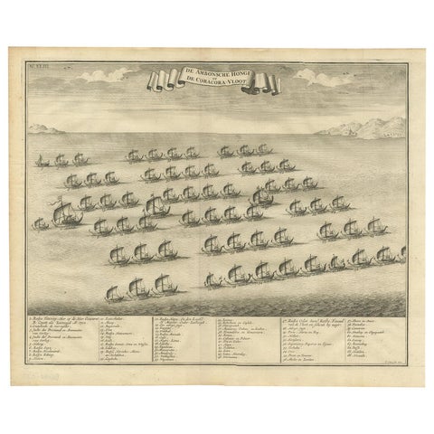
The Company · Moluccas
Antique Print of the Hongi/Coracora Fleet by Valentijn '1726'
1726 · 42 × 34 cm$390
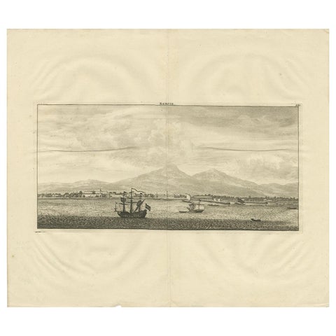
Towns and Landscapes · Java
Antique Print of Batavia by De Bruyn, 1714
1714 · 44 × 38 cm$390
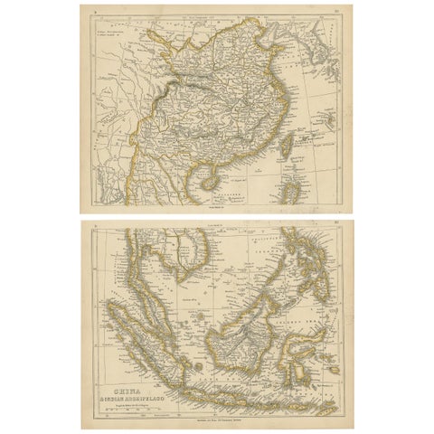
Maps and Sea Charts
Antique Map of China and the East Indies by Lowry, 1852
1852 · 31 × 24.5 cm$390
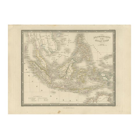
Maps and Sea Charts
Antique Map of the East Indies by Wyld '1845'
1845 · 36 × 26 cm$390
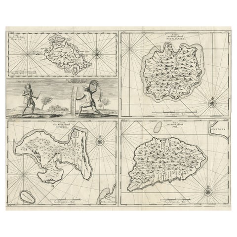
Maps and Sea Charts · Moluccas
Antique Maps of Manipa, Nusa-Laut, Saparua and Haruku in Maluku, Indonesia 1726
1726 · 55 × 65 cm$390
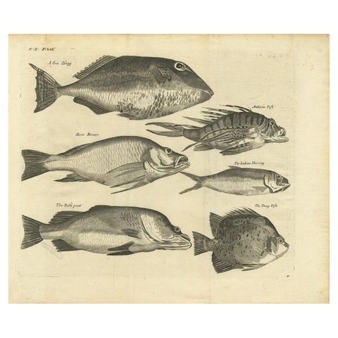
Flora and Fauna · Moluccas
Engraving of a Sea Hogg, Amboina Fish, Stone Bream, Indian Herring Etc, Ca. 1744
1744 · 41.5 × 34.7 cm$390
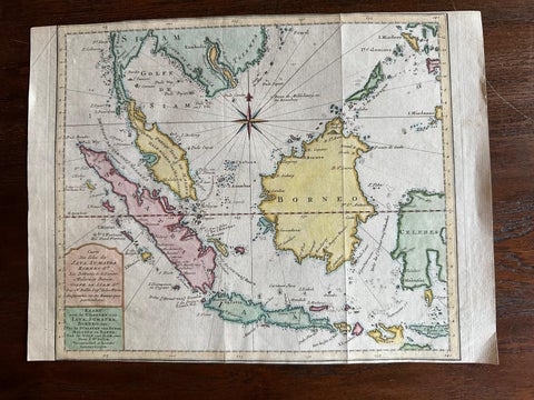
Maps and Sea Charts · Java
Original Map of the East Indies Including Sumatra, Java, Borneo & Malaysia, 1755
1755 · 33 × 24.5 cm$390
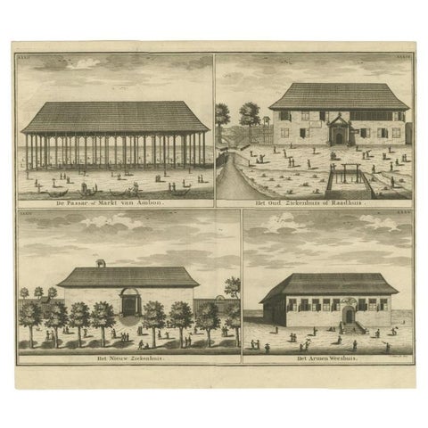
Towns and Landscapes · Moluccas
Antique Print of the Market, Hospital and Orphanage of Ambon by Valentijn, 1726
1726 · 38.5 × 33 cm$390
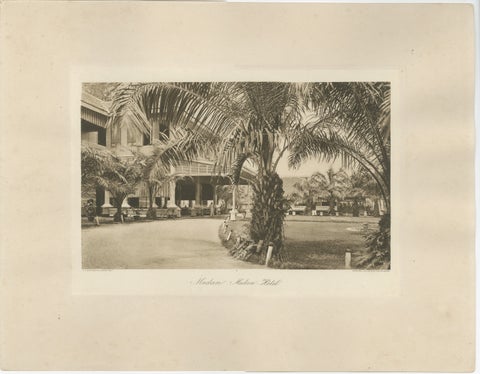
Towns and Landscapes · Sumatra
Medan Hotel, Antique Photogravure of Colonial Indonesia, c.1900
1900 · 45 × 34 cm$390
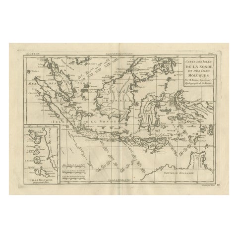
Maps and Sea Charts
Antique East Indies Map by Rigobert Bonne, Copper Engraving, 1780
1780 · 41 × 26 cm$390
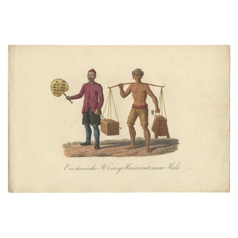
Peoples and Costume
Original Print of a Chinese Peddler and His Day Laborer in Indonesia, ca 1830
1830 · 36.5 × 24.5 cm$380
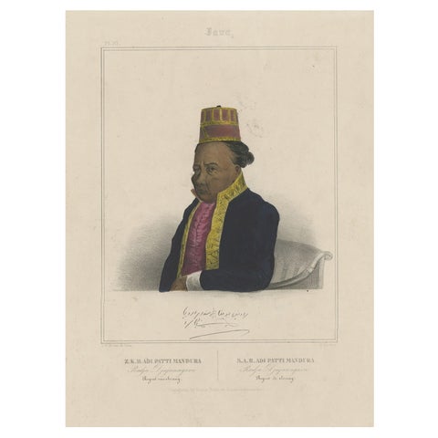
Peoples and Costume · Java
Portrait of Adi Patti Mandura, Raja Djajanagara, Regent of Serang on Java, 1844
1844 · 31.5 × 47 cm$380
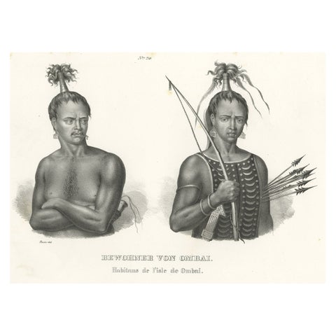
Peoples and Costume · Lesser Sunda
Antique Print of Warriors from Ombai Island, Alor, Archipel, Indonesia, ca.1845
1845 · 35.5 × 26 cm$380
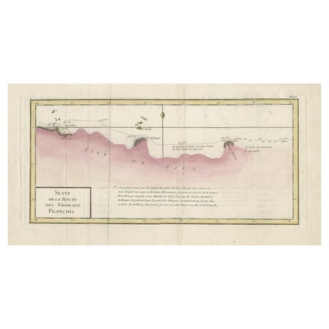
Maps and Sea Charts
Antique Map of the Routes of Jean-françois de Galaup to Asia, 1787
1787 · 45 × 29 cm$380
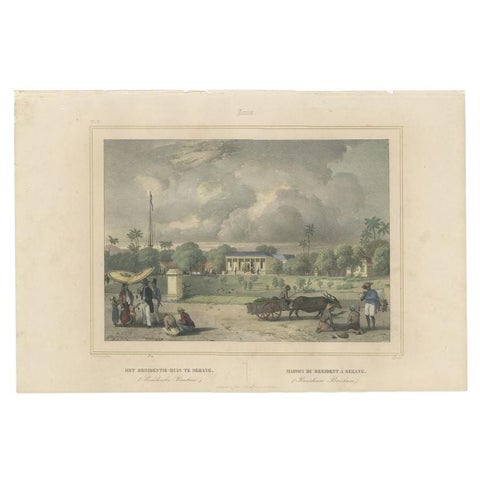
Towns and Landscapes · Java
Antique Print of the Residence House in Serang, Java, Indonesia, 1844
1844 · 47 × 31 cm$380
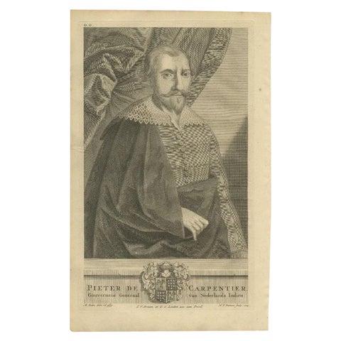
The Company
Antique Voc Portrait of De Carpentier, Governor-General of the Dutch East Indies
Date not stated · 21 × 33 cm$380
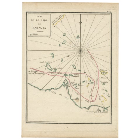
Maps and Sea Charts · Java
Interesting Map of the Thousand Islands in the Bay of Batavia 'Jakarta', ca.1740
1740 · 21 × 29 cm$380
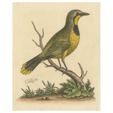
Flora and Fauna
Antique Bird Print of a Green Pie from the East Indies
Date not stated · 22.3 × 28.6 cm$380
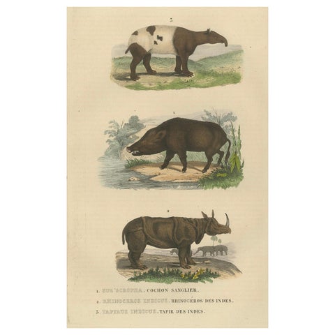
Flora and Fauna
Terrestrial Mammals: Wild Boar, Indian Rhinoceros, and Malayan Tapir, 1845
1845 · 17 × 26.5 cm$380
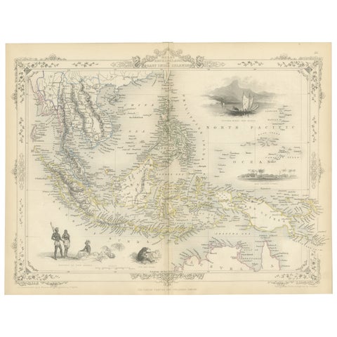
Maps and Sea Charts
Antique Map of the Malay Archipelago with Images of Indigenous People, 1851
1851 · 36.2 × 27.2 cm$380
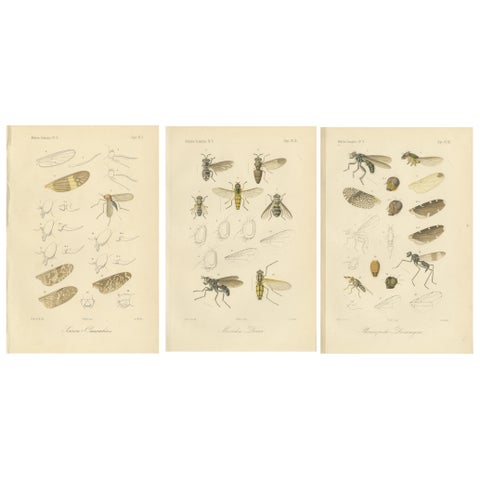
Flora and Fauna · Sumatra
Set of 3 Antique Fly Prints, Sumatra Diptera Species c.1887
1887 · 17.5 × 26.3 cm$380
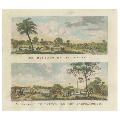
The Company · Java
Dutch Colonial Views of Batavia, Diestpoort and Castle with Laboratory, c.1780
1780 · 29 × 23.7 cm$380
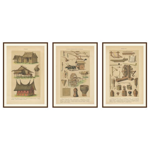
Peoples and Costume · Java
Antique Javanese Prints, Houses, Farming Tools & Household Utensils, c.1860
1860 · 16.4 × 24.9 cm$380
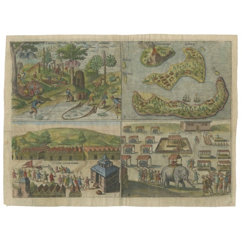
Towns and Landscapes · Java
Mauritius, Banda Islands, Ternate and Tuban, Orlers, Leiden 1610
1610 · 32.6 × 24.3 cm$380
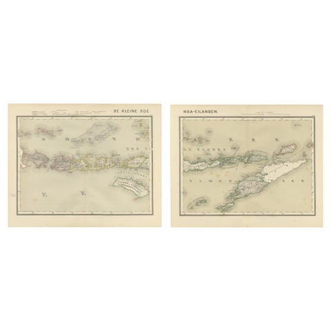
Maps and Sea Charts · Lesser Sunda
Antique Two-Sheet Map of the Lesser Sunda Islands, Dutch East Indies, 1884
1884 · 39 × 48.5 cm$380
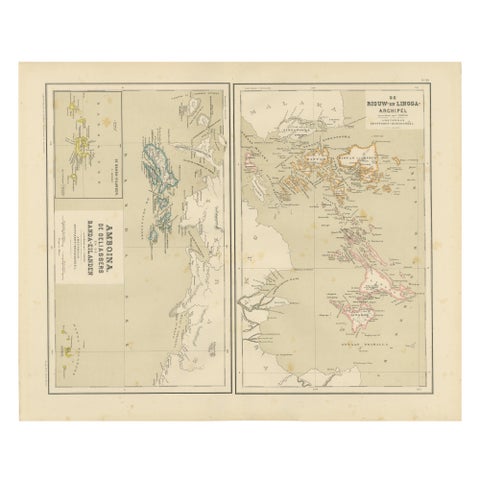
Maps and Sea Charts · Sumatra
Antique Map of Riouw, Lingga Archipelago, Singapore, Banda by Dornseiffen, 1884
1884 · 48.5 × 39 cm$380
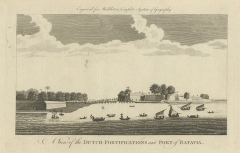
The Company · Java
Antique View of Batavia Port Jakarta, Dutch VOC Fortifications 1778
1778 · 36.5 × 23.5 cm$380
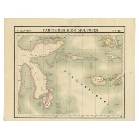
Maps and Sea Charts · Celebes
Old Map of the Moluccas and Part of Sulawesi Indonesia by Vandermaelen, c 1825
1825 · 67 × 53 cm$380
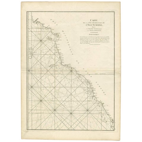
Maps and Sea Charts · Sumatra
1745 Antique Coastal Map of West Sumatra by J. Mannevillette
1745 · 55.5 × 77 cm$370
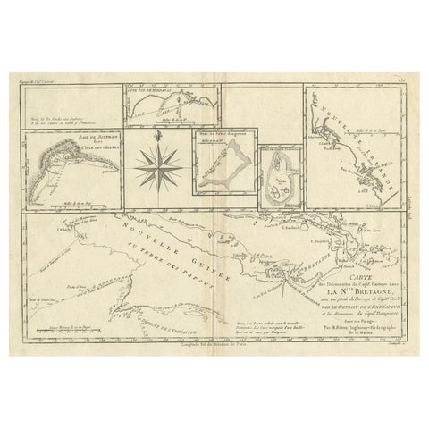
Maps and Sea Charts · New Guinea
Antique Detailed Map of Papua New Guinea and the Regions to the West, ca.1780
1780 · 38.7 × 29.1 cm$370