Every map and print
1,015 sheets
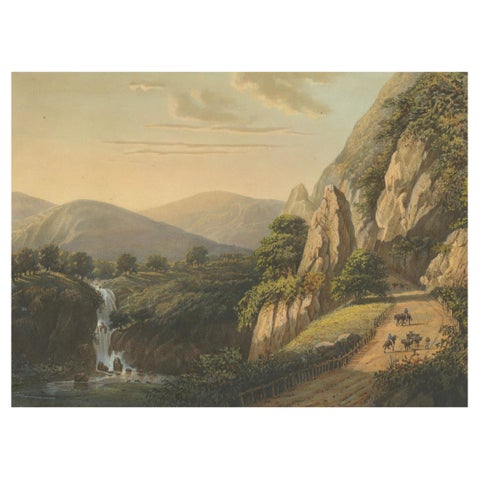
Towns and Landscapes · Java
Mountain Road and Waterfall in the Tengger Range, Java Lithograph, circa 1872
1872 · 37 × 26 cm€1,950
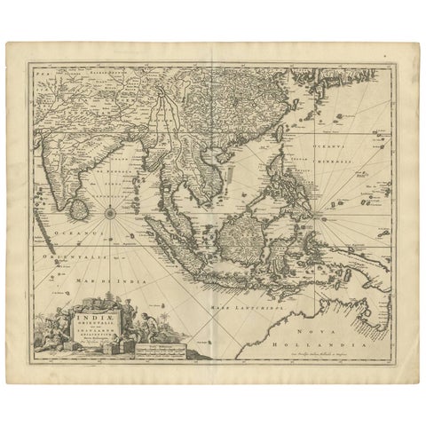
Maps and Sea Charts
Antique Map of Southeast Asia 'India, Indonesia' by N. Visscher, circa 1670
1670 · 63.6 × 52.7 cm€1,950
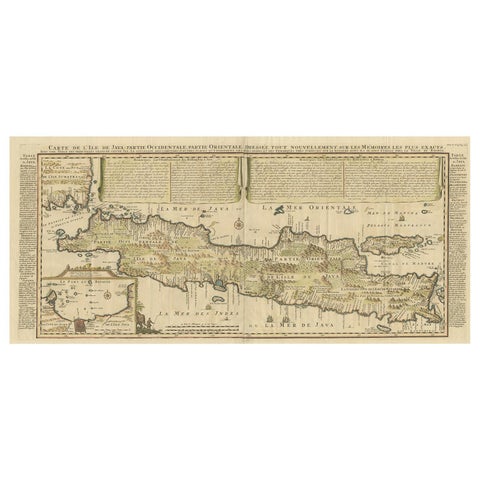
Maps and Sea Charts · Java
Antique French Map of Java, Indonesia by Chatelain, '1719'
1719 · 93.5 × 44.5 cm€1,914
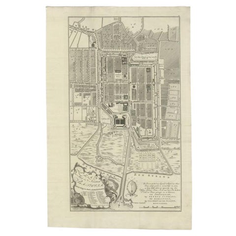
Maps and Sea Charts · Java
Antique Plan of Batavia, Nowadays Jakarta, Indonesia, 1780
1780 · 47 × 73 cm€1,848
Towns and Landscapes
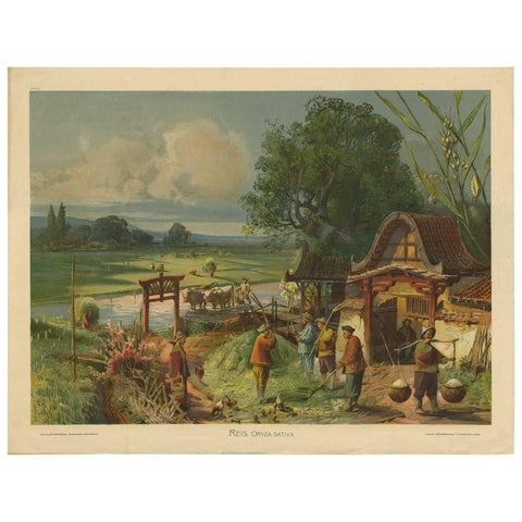
Antique Print 'Schoolplate' of a Rice Field by F.E. Wachsmuth, circa 1900
1900 · 89 × 67.5 cm€1,700
Maps and Sea Charts · Java
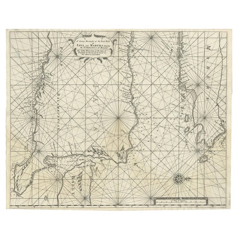
Rare Old English Sea Chart of Part of Indonesia with Java, Madura and Bali, 1711
1711 · 55.3 × 45 cm€1,650
Maps and Sea Charts · Java
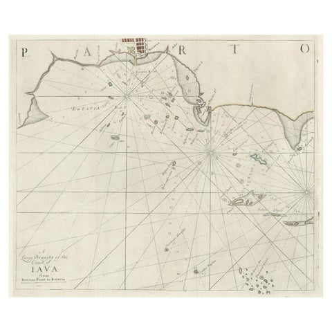
Two Antique Sea Charts of the Thousand Islands between Batavia and Bantam, c1734
1734 · 126 × 51 cm€1,650
Towns and Landscapes · Java
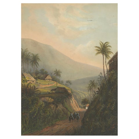
Mountain Road to the Salak Valley, Java, Colonial Landscape Lithograph, 1872
1872 · 26 × 37 cm€1,650
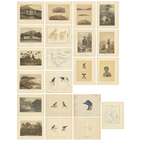
Towns and Landscapes · New Guinea
Set of 21 Antique Prints Illustrating the Travels to Cenderawasih Bay, 1875
1875 · 22.5 × 28 cm€1,550
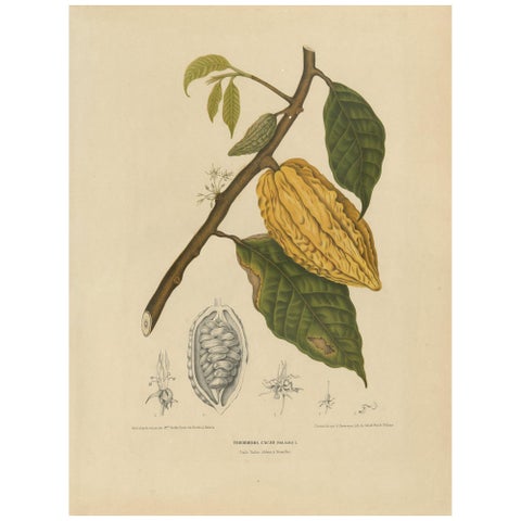
Flora and Fauna
Antique Botany Print of a White Cacao Tree by Van Nooten, circa 1875
1875 · 41.5 × 55 cm€1,500
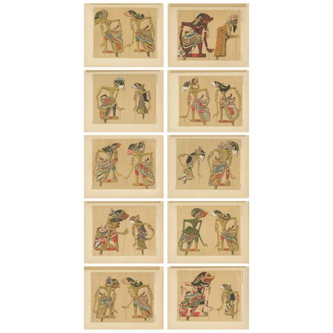
Peoples and Costume · Java
Set of 10 Antique Prints of Wayang Puppets by Juynboll, 1900
1900 · 32 × 25 cm€1,500
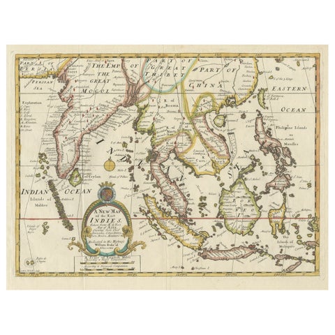
Maps and Sea Charts · Lesser Sunda
Old Map Covering All of Southeast Asia from Persia to the Timor Island, 1712
1712 · 57 × 44 cm€1,500
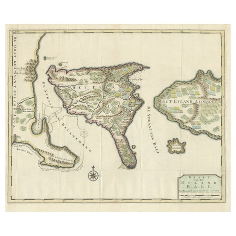
Maps and Sea Charts · Lesser Sunda
1726 Valentyn's Map of Bali and Lombok, Original Engraving
1726 · 62 × 55 cm€1,500
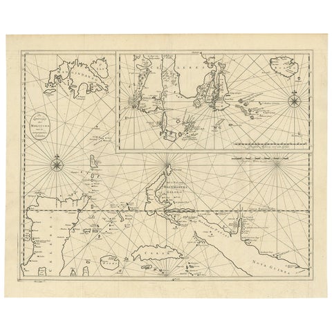
Maps and Sea Charts · Moluccas
Large Antique Detailed Map of a Part of the Spice Islands, Indonesia, 1726
1726 · 64 × 52 cm€1,450
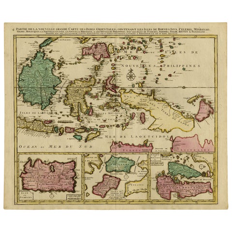
Maps and Sea Charts · Borneo
Old Map of Indonesian Islands Borneo, Celebes, New Guinea & New Britain, 1792
1792 · 66 × 55.3 cm€1,450
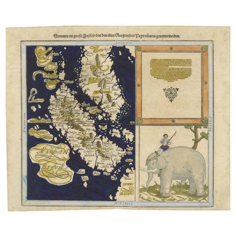
Maps and Sea Charts · Sumatra
Renaissance Mapping of Sumatra: Featuring Singapore in Münster’s Woodcut, c.1590
1590 · 41.5 × 34 cm€1,450
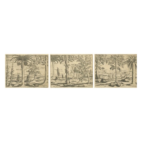
Flora and Fauna
De Bry Botanical Engravings, Pineapple, Mango & Pepper Plants, c.1598
1598 · 20 × 30.5 cm€1,440
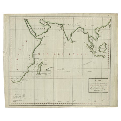
Maps and Sea Charts · Java
Old Map of Indian Ocean & Sumatra, Java, Borneo, India, Arabia, Africa, c.1783
1783 · 64.5 × 53 cm€1,400
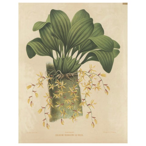
Flora and Fauna
Large Orchid Illustrations of the Dutch East Indies: A Botanical Heritage, 1854
1854 · 54 × 72 cm€1,400
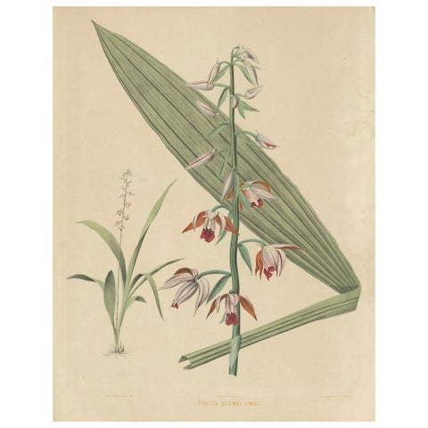
Flora and Fauna
Large Masterpiece of Botanical Illustration from the Dutch East Indies, 1854
1854 · 54 × 69.7 cm€1,400
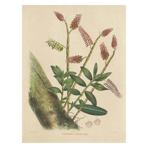
Flora and Fauna
Orchid Splendor: Big Chromolithographic Legacy from the Dutch East Indies, 1854
1854 · 54 × 72 cm€1,400
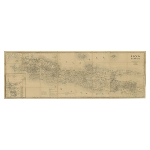
Maps and Sea Charts · Java
Large Antique Map of Java & Madura with Batavia Inset, c.1870s Dutch East Indies
Date not stated · 124 × 42 cm€1,400
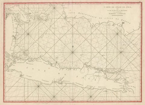
Maps and Sea Charts · Java
Antique Sea Chart Java Indonesia, Mannevillette Neptune Oriental 1775
1775 · 74 × 53.8 cm€1,400
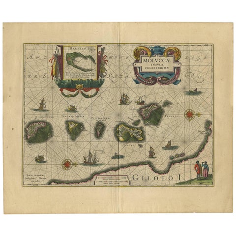
Maps and Sea Charts · Moluccas
Antique Map of the Spice Islands 'Moluccas', Indonesia by W. Blaeu, circa 1640
1640 · 58.5 × 50 cm€1,400
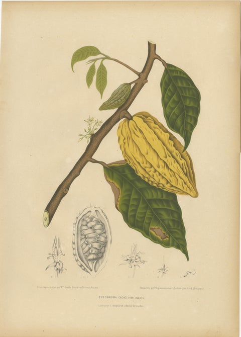
Flora and Fauna
Antique White Cacao Botanical Chromolithograph by Hoola van Nooten, c. 1880
1880 · 40 × 55.5 cm€1,390
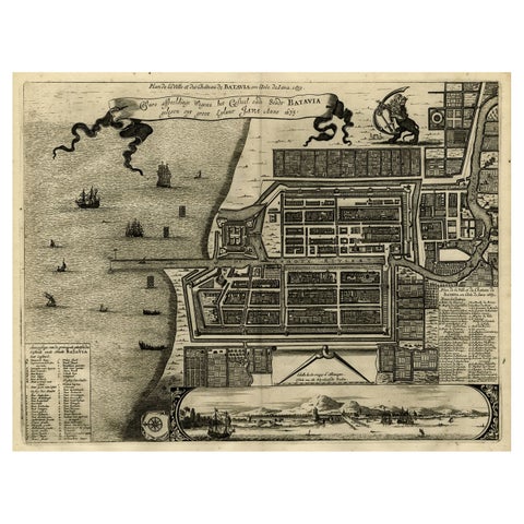
Maps and Sea Charts · Java
Antique Map of Batavia, Dutch East Indies, Nowadays Jakarta, Indonesia, ca.1669
1669 · 37.5 × 32.2 cm€1,350
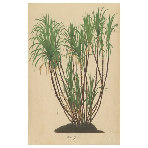
Flora and Fauna · Java
Antique Sugarcane Chromolithograph, Teboe Goela Java, Meyn after Soltwedel 1892
1892 · 40 × 60 cm€1,350
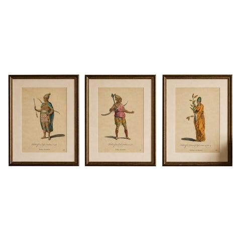
Peoples and Costume
Antique Costume Prints, East Indies Figures & Tribal Dress, 1749
1749 · 24.9 × 32.1 cm€1,350
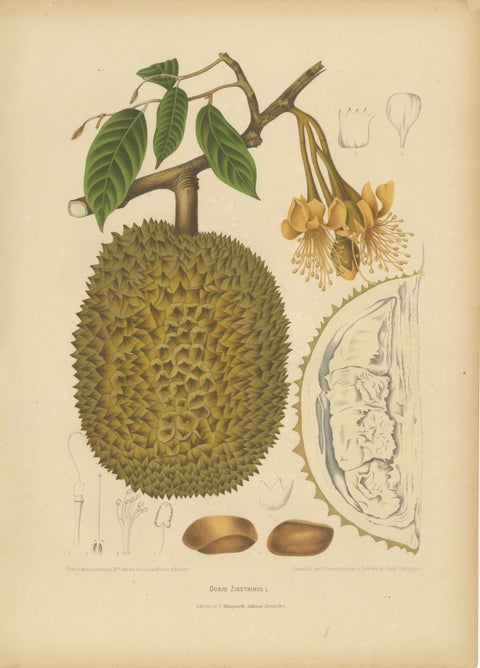
Flora and Fauna
Antique Durian Botanical Chromolithograph by Hoola van Nooten, c. 1880
1880 · 40 × 55.5 cm€1,350
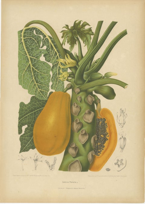
Flora and Fauna
Antique Papaya Botanical Chromolithograph by Hoola van Nooten, c. 1880
1880 · 40 × 55.5 cm€1,290
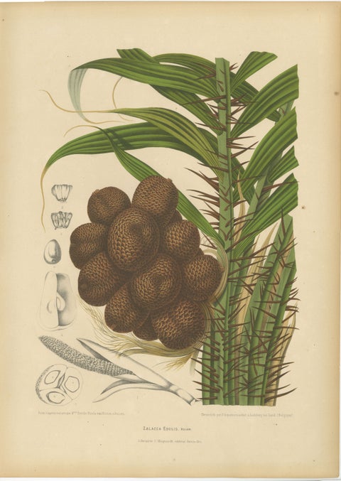
Flora and Fauna · Java
Antique Salak Palm Botanical Chromolithograph by Hoola van Nooten, c. 1880
1880 · 40 × 55.5 cm€1,290
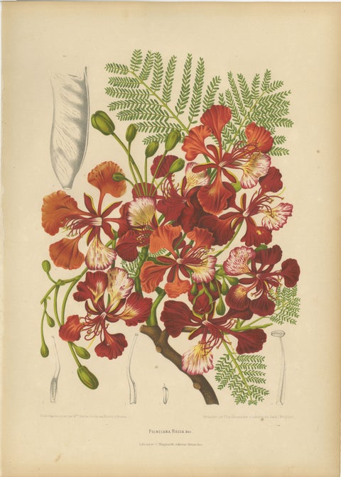
Flora and Fauna
Antique Royal Poinciana Botanical Chromolithograph by Hoola van Nooten, c. 1880
1880 · 40 × 55.5 cm€1,290
Flora and Fauna
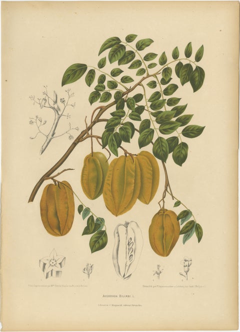
Antique Star Fruit Botanical Chromolithograph by Hoola van Nooten, c. 1880
1880 · 40 × 55.5 cm€1,290
Maps and Sea Charts · Borneo
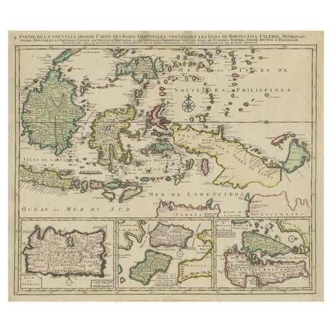
Old Map of the East Indonesian Islands Borneo, Celebes, New Guinea, Bali, 1792
1792 · 64.5 × 55 cm€1,250
Maps and Sea Charts · Java
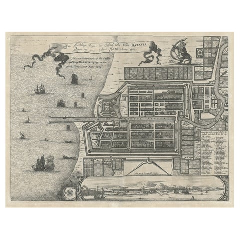
Antique Plan of the Castle & City of Batavia 'Jakarta' on Java, Indonesia, c1669
1669 · 44.5 × 39 cm€1,250
Maps and Sea Charts · Sumatra
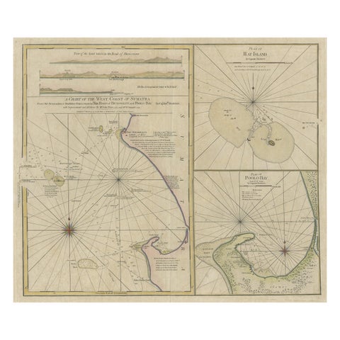
Early Chart Identifying British Spice Trading Colony of Bencoolen, Sumatra, 1797
1797 · 71 × 57.5 cm€1,250
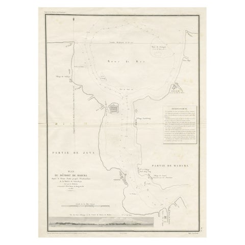
Maps and Sea Charts · Java
Detailed Map of the Madura Strait, between Java & Madura Island, Indonesia, 1825
1825 · 50.5 × 68 cm€1,250
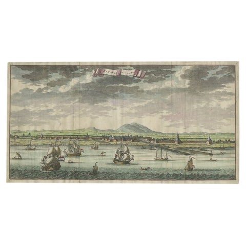
Towns and Landscapes · Java
Antique Print of Batavia, Capital of the Dutch East Indies or Indonesia, '1726'
1726 · 54 × 28.5 cm€1,250
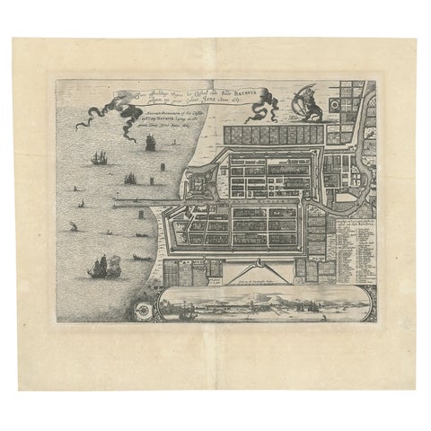
Maps and Sea Charts · Java
Antique Map of Batavia 'Jakarta', Indonesia by Montanus, circa 1669
1669 · 44.5 × 39 cm€1,250
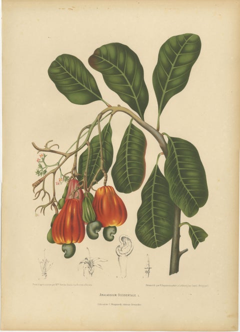
Flora and Fauna
Antique Cashew Tree Botanical Chromolithograph by Hoola van Nooten, c. 1880
1880 · 40 × 55.5 cm€1,250
Flora and Fauna
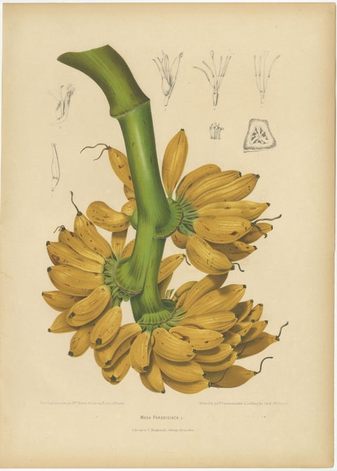
Antique Banana Botanical Chromolithograph by Hoola van Nooten, c. 1880
1880 · 40 × 55.5 cm€1,240
Peoples and Costume · Java
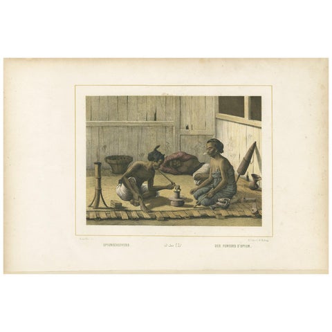
Antique Print of Javanese Locals Smoking Opium by Van Pers, circa 1850
1850 · 51.5 × 34.5 cm€1,200
Maps and Sea Charts
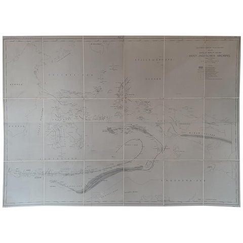
Large Antique Map of the East Indies by Brouwer, 1917
1917 · 126 × 90 cm€1,200
Maps and Sea Charts · Sumatra
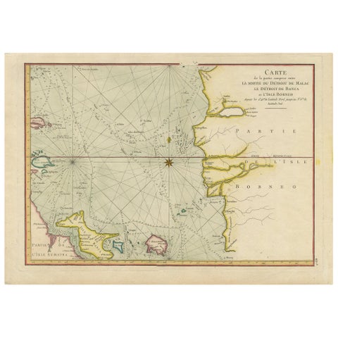
Antique Map of the Malacca and Bangka Strait by De Mannevillette '1775'
1775 · 55 × 39.5 cm€1,200
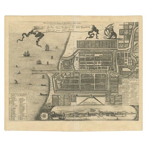
Maps and Sea Charts · Java
Antique Map of the City of Batavia by Van der Aa, circa 1730
1730 · 37.5 × 31 cm€1,200
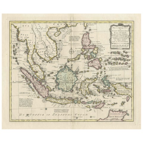
Maps and Sea Charts
Rare Antique Map of the Dutch East Indies 'Indonesia', 1774
1774 · 46 × 60.5 cm€1,200
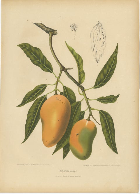
Flora and Fauna
Antique Mango Botanical Chromolithograph by Hoola van Nooten, c. 1880
1880 · 40 × 55.5 cm€1,190
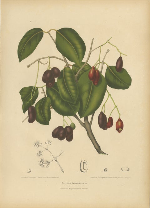
Flora and Fauna · Java
Antique Java Plum Botanical Chromolithograph by Hoola van Nooten, c. 1880
1880 · 40 × 55.5 cm€1,190