Search: Batavia
34 sheets
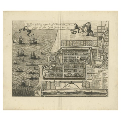
Maps and Sea Charts · Java
Rare 1681 Map of Batavia: Detailed Dutch Colonial Era Cartography, 1681
1681 · 62 × 53.5 cm$6,605
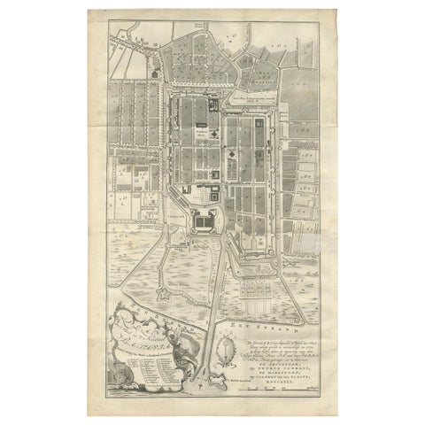
Maps and Sea Charts · Java
Antique Plan of Batavia by Van Krevelt, circa 1780
1780 · 45 × 69 cm$2,800
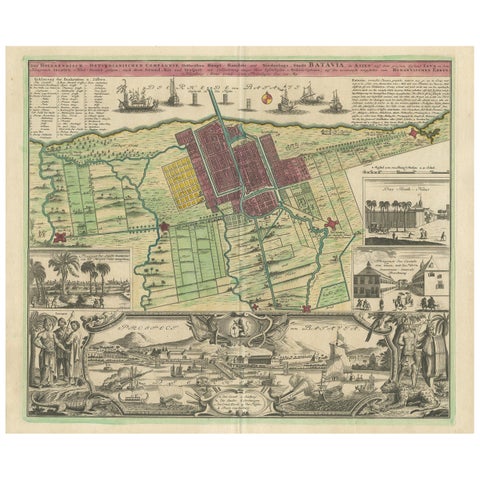
Maps and Sea Charts · Java
Antique Map and Views of Batavia by Homann Heirs, '1733'
1733 · 61 × 51 cm$2,800
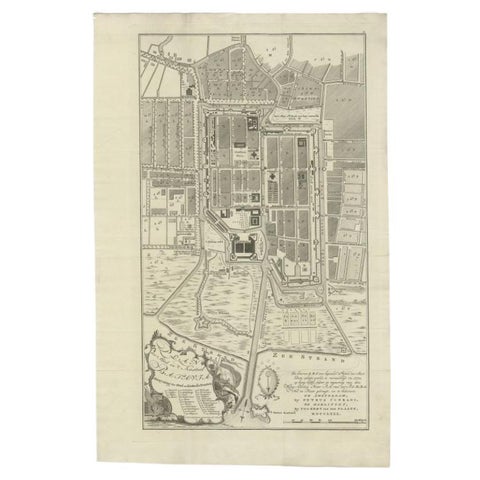
Maps and Sea Charts · Java
Antique Plan of Batavia, Nowadays Jakarta, Indonesia, 1780
1780 · 47 × 73 cm$2,070
Maps and Sea Charts · Java
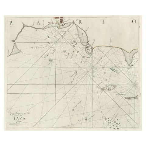
Two Antique Sea Charts of the Thousand Islands between Batavia and Bantam, c1734
1734 · 126 × 51 cm$1,845
Maps and Sea Charts · Java
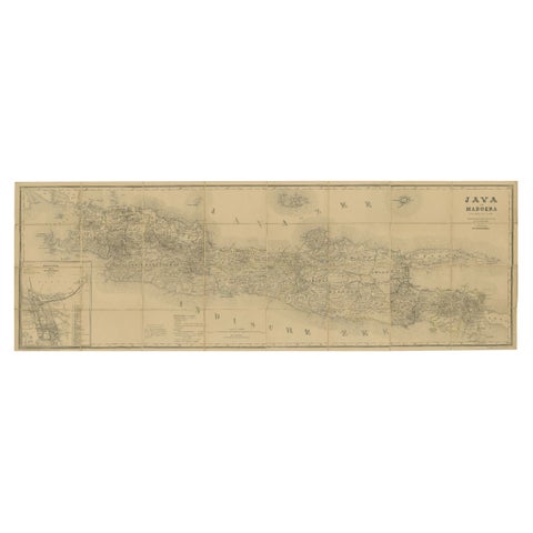
Large Antique Map of Java & Madura with Batavia Inset, c.1870s Dutch East Indies
Date not stated · 124 × 42 cm$1,565
Maps and Sea Charts · Java
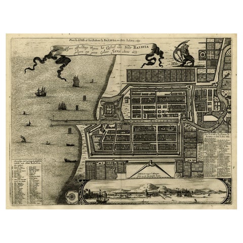
Antique Map of Batavia, Dutch East Indies, Nowadays Jakarta, Indonesia, ca.1669
1669 · 37.5 × 32.2 cm$1,510
Maps and Sea Charts · Java
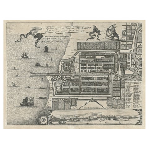
Antique Plan of the Castle & City of Batavia 'Jakarta' on Java, Indonesia, c1669
1669 · 44.5 × 39 cm$1,400
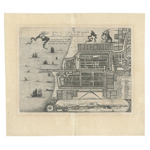
Maps and Sea Charts · Java
Antique Map of Batavia 'Jakarta', Indonesia by Montanus, circa 1669
1669 · 44.5 × 39 cm$1,400
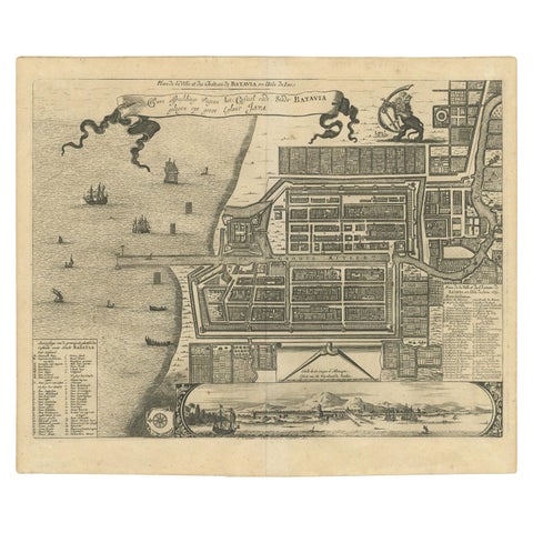
Maps and Sea Charts · Java
Antique Map of the City of Batavia by Van der Aa, circa 1730
1730 · 37.5 × 31 cm$1,345
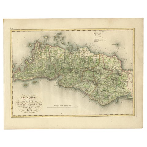
Maps and Sea Charts · Java
Antique Map of Bantam, Jakarta and Cirebon by Van den Bosch '1818'
1818 · 58 × 46 cm$1,235
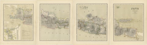
Maps and Sea Charts · Java
Four Antique Java Maps with Batavia Plan, Dutch East Indies Wall Set 1880s
Date not stated · 39 × 48.5 cm$1,230
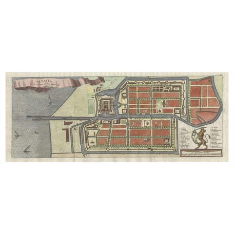
Maps and Sea Charts · Java
Antique Map of Batavia, Nowadays Jakarta, the Capital of Indonesia, 1782
1782 · 53.5 × 25 cm$1,065
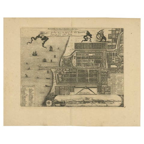
Maps and Sea Charts · Java
1728 Map of Batavia Castle & City, Java, Van der Aa after 1669
1728 · 46.5 × 36.6 cm$985
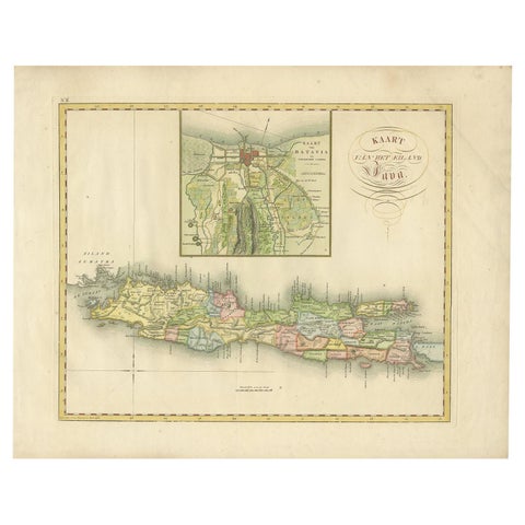
Maps and Sea Charts · Java
Antique Map of Java and Batavia of nowadays Indonesia, '1818'
1818 · 58 × 46 cm$930
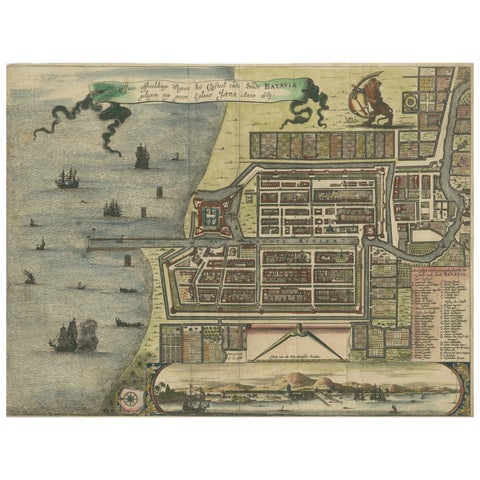
Maps and Sea Charts · Java
Rare 17th Century Map of Batavia and Castle on Java by Isaac de l'Obel
circa 1681 · 36 × 27.1 cm$740
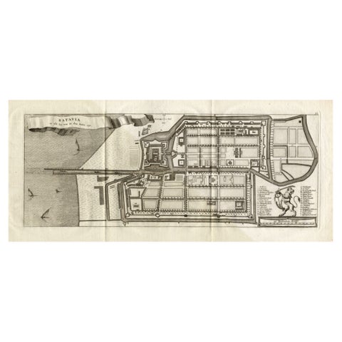
Maps and Sea Charts · Java
Antique Map of Batavia 'Jakarta, Indonesia', the Dutch East-Indies, 1782
1782 · 54 × 27.5 cm$715
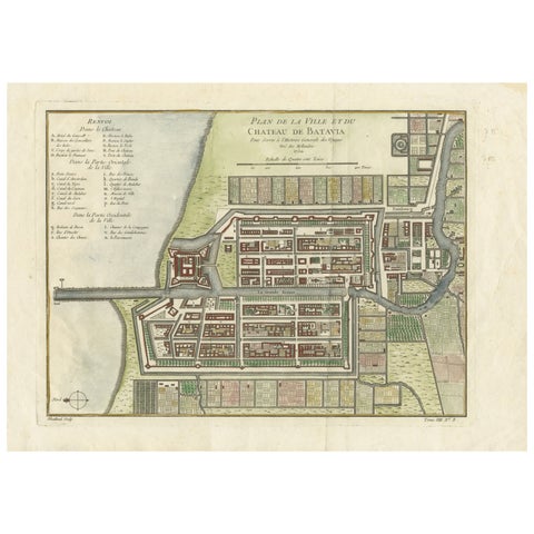
Maps and Sea Charts · Java
Hand-Colored 1750 Plan of Batavia, Colonial Jakarta, Indonesia by Jacques Bellin
1750 · 37.5 × 26.7 cm$715
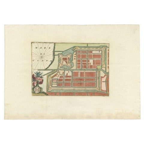
Maps and Sea Charts · Java
Antique Plan of Batavia in the Dutch East Indies or Nowadays Jakarta, Indonesia
circa 1720 · 49.5 × 34.5 cm$675
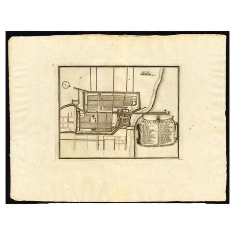
Maps and Sea Charts · Java
Antique Plan of Batavia, Capital of the Dutch East Indies, by Van Der Aa, 1725
1725 · 49 × 38 cm$640
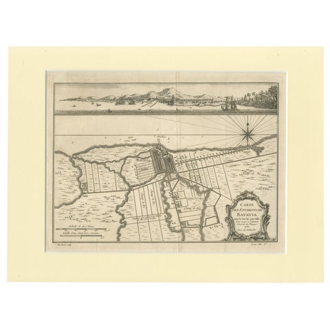
Maps and Sea Charts · Java
Old Engraving of Batavia 'Jakarta, Indonesia' with Map and Harbour View, 1750
1750 · 40 × 30 cm$615
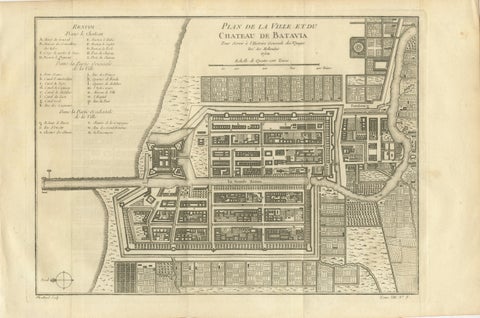
Maps and Sea Charts · Java
Antique Map of Batavia Jakarta Indonesia, Dutch East Indies, c.1750
1750 · 37.8 × 25 cm$610
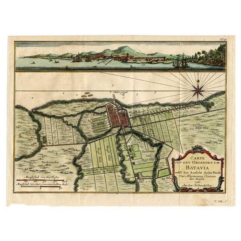
Maps and Sea Charts · Java
Antique Map of Batavia, Capital of The Dutch East Indies at the Time, 1751
1751 · 32 × 24.5 cm$505
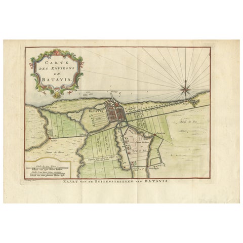
Maps and Sea Charts · Java
Map of Batavia’s Surroundings with Early Reference to Jakarta, Indonesia, c.1770
1770 · 35.7 × 25.2 cm$490
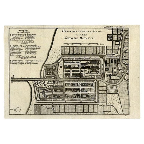
Maps and Sea Charts · Java
Antique Plan of Batavia and the Castle in the Dutch East Indies, 1763
1763 · 33 × 22.9 cm$435
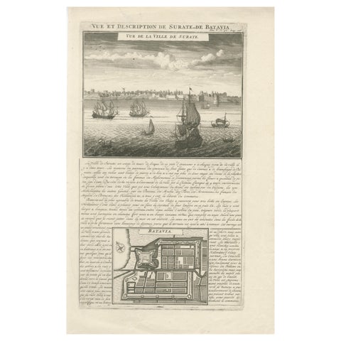
Maps and Sea Charts · Java
Antique View of Surat & Plan of Batavia, VOC India & Indonesia, Chatelain, 1719
1719 · 28 × 44 cm$425
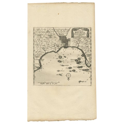
Maps and Sea Charts · Java
Antique Map of Batavia, Jakarta, Indonesia by P. Van Der Aa, 1719
1719 · 19 × 33 cm$410
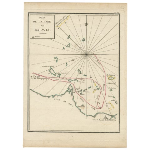
Maps and Sea Charts · Java
Interesting Map of the Thousand Islands in the Bay of Batavia 'Jakarta', ca.1740
1740 · 21 × 29 cm$380
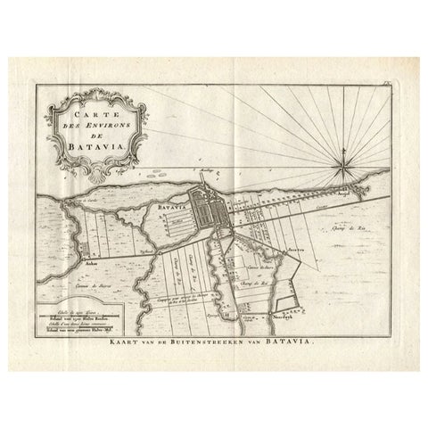
Maps and Sea Charts · Java
Antique Map of the Region of Batavia by Conrade, 1782
1782 · 44 × 27.5 cm$355
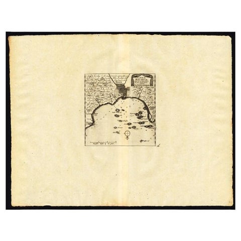
Maps and Sea Charts · Java
Antique Map of the Roadstead of Batavia by Van der Aa, 1725
1725 · 49 × 38 cm$345
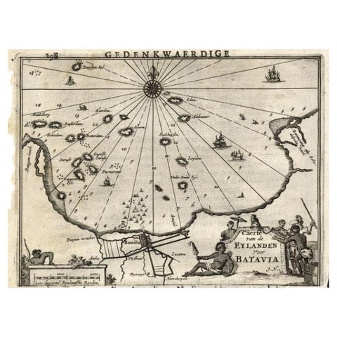
Maps and Sea Charts · Java
Antique Map of the Islands Near Batavia, Capital of the Dutch East Indies, 1682
1682 · 19 × 30 cm$340
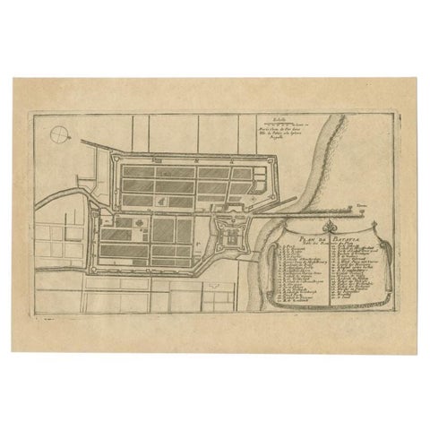
Maps and Sea Charts · Java
Antique Plan of Batavia in the Dutch East Indies or Indonesia, circa 1695
1695 · 32.5 × 22 cm$325
Maps and Sea Charts · Java
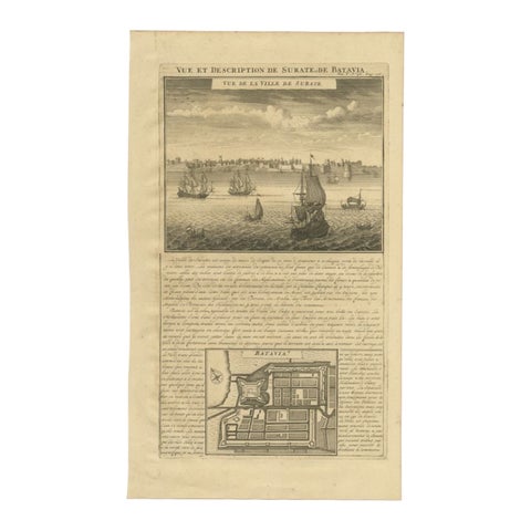
Antique Print of Surate and a Plan of Batavia in the Dutch East Indies, 1719
1719 · 26 × 44 cm$195
Maps and Sea Charts · Java
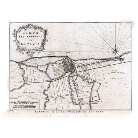
Antique Map of the Region of Batavia by Van Schley, c.1750
1750 · 33 × 27.5 cm$190