Collection
Maps and Sea Charts
Maps and charts of the archipelago from Münster's woodcut of Sumatra of about 1590 to the Dornseiffen atlas of 1884: Blaeu and Janssonius, Valentijn's island maps of 1726, Bellin and Mannevillette for the French navy, and the town plans of Batavia.
5 sheets
Maps and Sea Charts · Sumatra
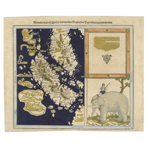
Renaissance Mapping of Sumatra: Featuring Singapore in Münster’s Woodcut, c.1590
1590 · 41.5 × 34 cm£1,215
Maps and Sea Charts · Sumatra
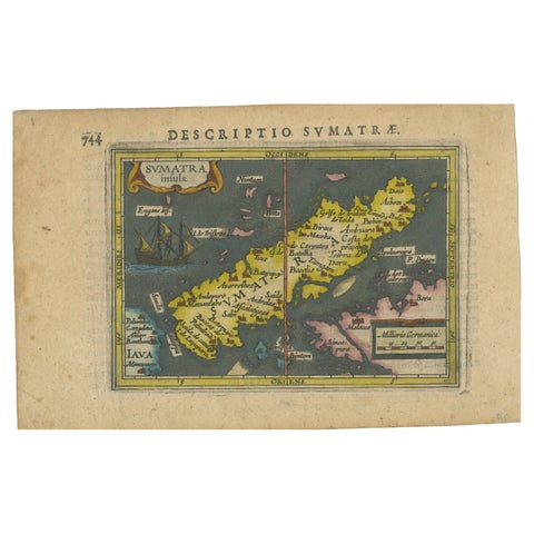
1616 Bertius Map of Sumatra, Singapore and the Straits of Malacca
1616 · 19 × 12 cm£705

Maps and Sea Charts · Java
Rare Small Map of Sumatra, Java, Borneo, Macassar, Madura, Bali, 1614
1614 · 24 × 18 cm£630
Maps and Sea Charts · Sumatra
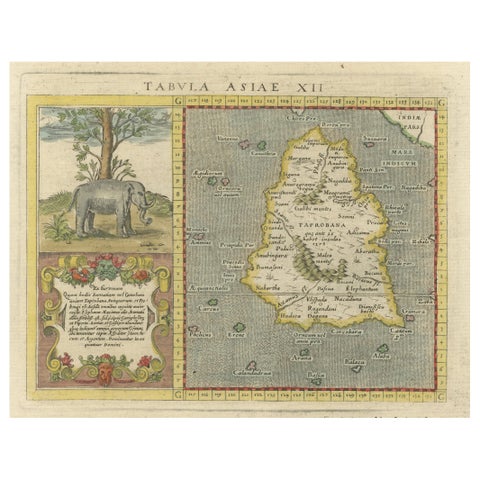
1621 Ptolemy & Magini Map of Taprobana (Sumatra) with Elephant Inset
1621 · 19 × 28 cm£520
Maps and Sea Charts · Sumatra
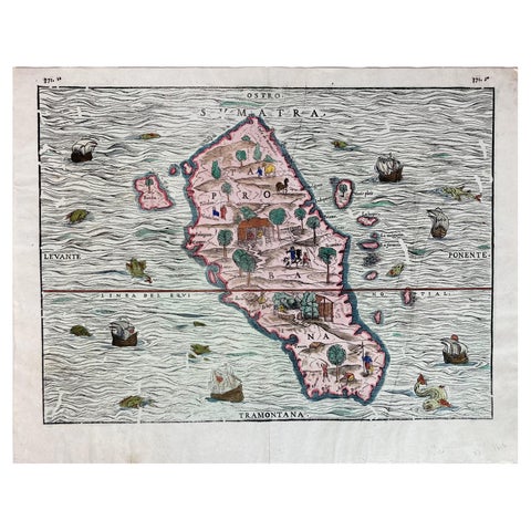
1606 Hand-Colored Woodcut Map of Sumatra from Ramusio’s Delle Navigationi
1606 · 41 × 32 cm£385