Collection
Maps and Sea Charts
Maps and charts of the archipelago from Münster's woodcut of Sumatra of about 1590 to the Dornseiffen atlas of 1884: Blaeu and Janssonius, Valentijn's island maps of 1726, Bellin and Mannevillette for the French navy, and the town plans of Batavia.
301 sheets
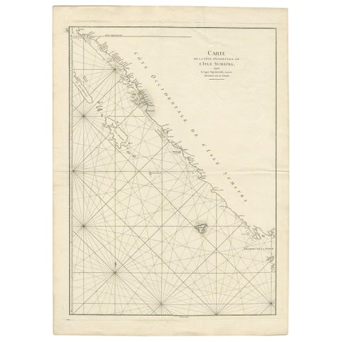
Maps and Sea Charts · Sumatra
Antique Coastal Map of Sumatra by De La Haye, circa 1780
1780 · 55.5 × 76.5 cm€362
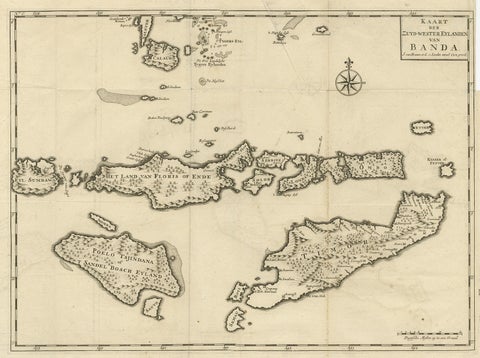
Maps and Sea Charts · Moluccas
Antique Map of the Banda Islands in Indonesia by Valentijn, 1726
1726 · 51.5 × 41.5 cm€362
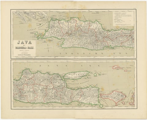
Maps and Sea Charts · Java
Old Map of Java, Madura & Bali, Dutch East Indies Colonial Cartography, 1884
1884 · 48.5 × 39 cm€360
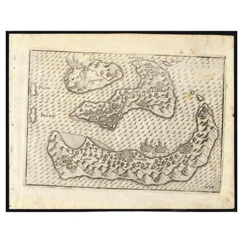
Maps and Sea Charts · Moluccas
Antique Map of the Banda Islands by Commelin, 1646
1646 · 23 × 17.5 cm€353
Maps and Sea Charts
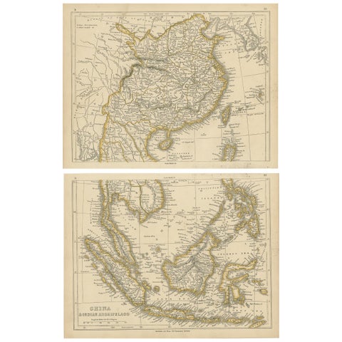
Antique Map of China and the East Indies by Lowry, 1852
1852 · 31 × 24.5 cm€350
Maps and Sea Charts
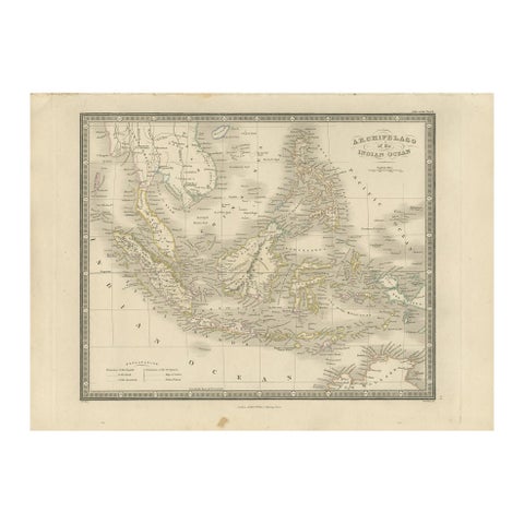
Antique Map of the East Indies by Wyld '1845'
1845 · 36 × 26 cm€350
Maps and Sea Charts · Moluccas
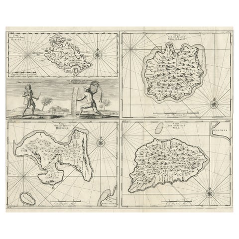
Antique Maps of Manipa, Nusa-Laut, Saparua and Haruku in Maluku, Indonesia 1726
1726 · 55 × 65 cm€350
Maps and Sea Charts · Java
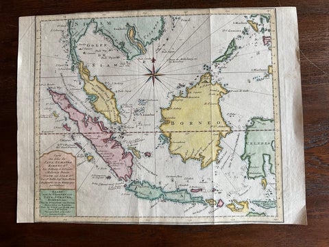
Original Map of the East Indies Including Sumatra, Java, Borneo & Malaysia, 1755
1755 · 33 × 24.5 cm€350
Maps and Sea Charts
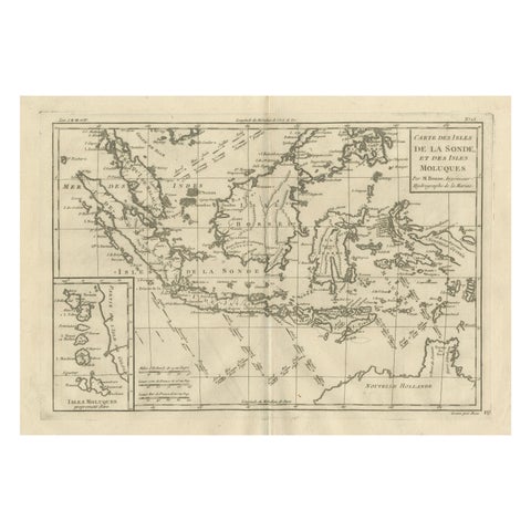
Antique East Indies Map by Rigobert Bonne, Copper Engraving, 1780
1780 · 41 × 26 cm€350
Maps and Sea Charts
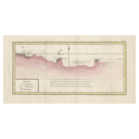
Antique Map of the Routes of Jean-françois de Galaup to Asia, 1787
1787 · 45 × 29 cm€340
Maps and Sea Charts · Java
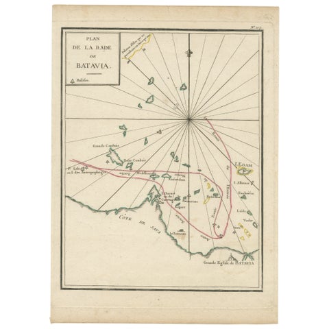
Interesting Map of the Thousand Islands in the Bay of Batavia 'Jakarta', ca.1740
1740 · 21 × 29 cm€340
Maps and Sea Charts
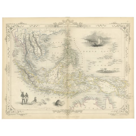
Antique Map of the Malay Archipelago with Images of Indigenous People, 1851
1851 · 36.2 × 27.2 cm€340
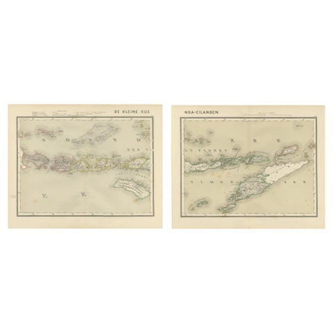
Maps and Sea Charts · Lesser Sunda
Antique Two-Sheet Map of the Lesser Sunda Islands, Dutch East Indies, 1884
1884 · 39 × 48.5 cm€340
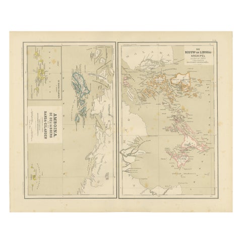
Maps and Sea Charts · Sumatra
Antique Map of Riouw, Lingga Archipelago, Singapore, Banda by Dornseiffen, 1884
1884 · 48.5 × 39 cm€340
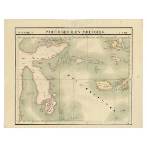
Maps and Sea Charts · Celebes
Old Map of the Moluccas and Part of Sulawesi Indonesia by Vandermaelen, c 1825
1825 · 67 × 53 cm€338
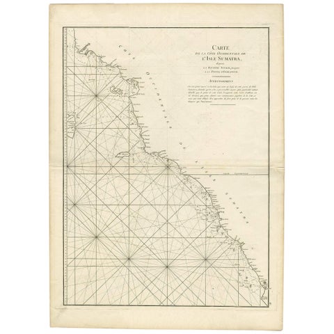
Maps and Sea Charts · Sumatra
1745 Antique Coastal Map of West Sumatra by J. Mannevillette
1745 · 55.5 × 77 cm€332
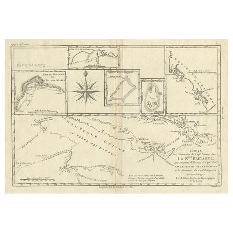
Maps and Sea Charts · New Guinea
Antique Detailed Map of Papua New Guinea and the Regions to the West, ca.1780
1780 · 38.7 × 29.1 cm€330
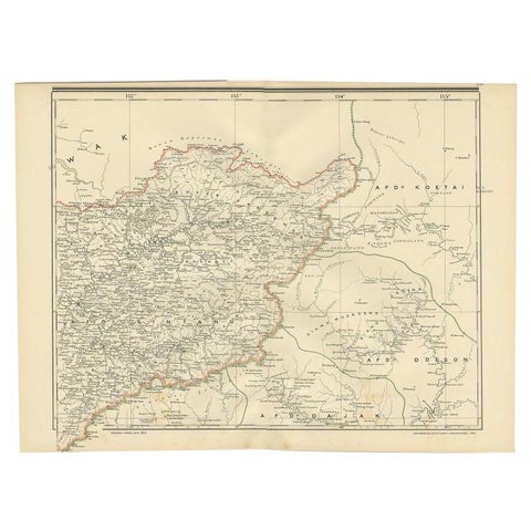
Maps and Sea Charts · Borneo
Antique Map of West Kalimantan (Schwaner Mountains), Borneo, Indonesia, 1900
1900 · 52.3 × 38.9 cm€330
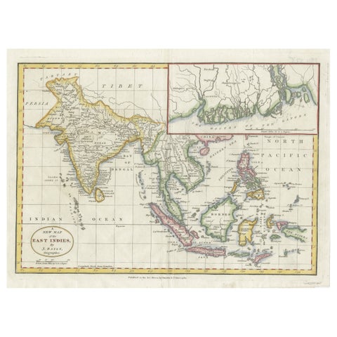
Maps and Sea Charts · Java
1782 Map of the East Indies, India, Siam, Philippines, Java, Borneo, Ganges
1782 · 34.5 × 26 cm€330
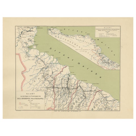
Maps and Sea Charts · Sumatra
Deli Railway System Map, East Sumatra, Deli Spoorweg Maatschappij, c.1910
1910 · 45 × 34 cm€330
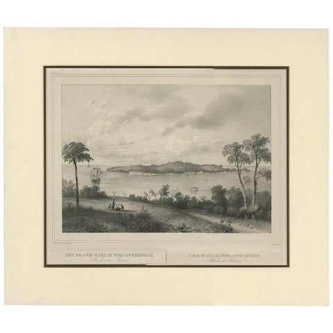
Maps and Sea Charts · Sumatra
Antique Print of the Roadstead of Riau 'Indonesia' by C.W.M. van de Velde, 1844
1844 · 47 × 40 cm€325
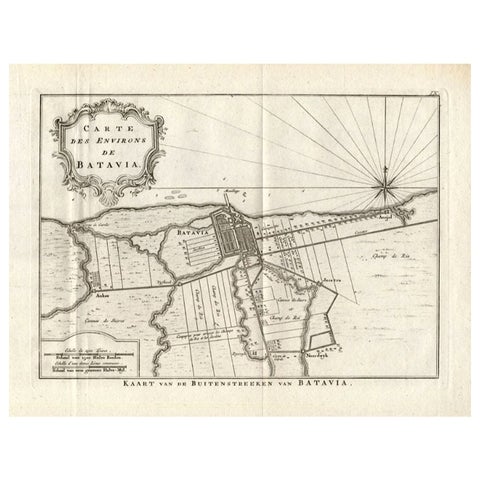
Maps and Sea Charts · Java
Antique Map of the Region of Batavia by Conrade, 1782
1782 · 44 × 27.5 cm€315
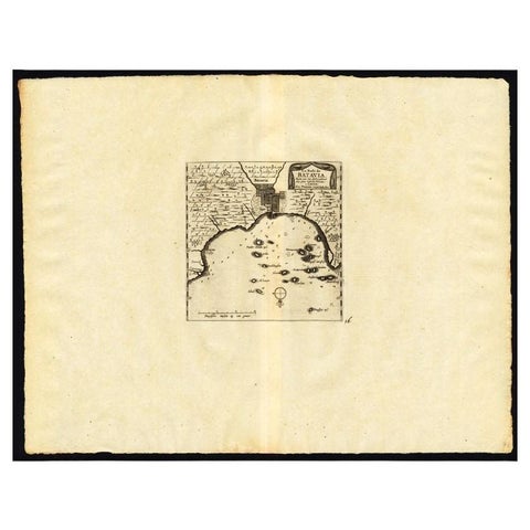
Maps and Sea Charts · Java
Antique Map of the Roadstead of Batavia by Van der Aa, 1725
1725 · 49 × 38 cm€308
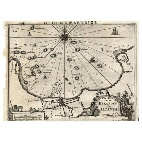
Maps and Sea Charts · Java
Antique Map of the Islands Near Batavia, Capital of the Dutch East Indies, 1682
1682 · 19 × 30 cm€302
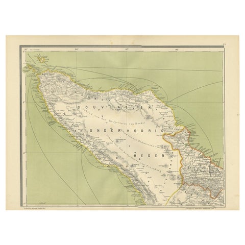
Maps and Sea Charts · Sumatra
Antique Map of Aceh or Adjeh in Northern Sumatra, Indonesia, 1900
1900 · 52.2 × 38.9 cm€290
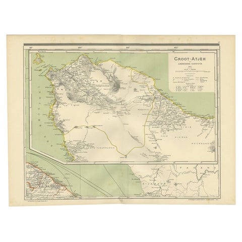
Maps and Sea Charts · Sumatra
Antique Map of Aceh in Sumatra, Indonesia, 1900
1900 · 52 × 38.9 cm€290
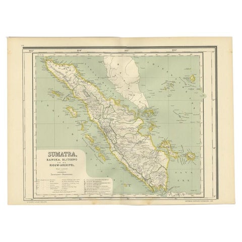
Maps and Sea Charts · Sumatra
Antique Map of West Sumatra, Indonesia, 1900
1900 · 53.8 × 38.9 cm€290
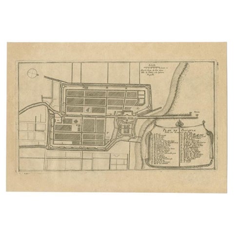
Maps and Sea Charts · Java
Antique Plan of Batavia in the Dutch East Indies or Indonesia, circa 1695
1695 · 32.5 × 22 cm€290
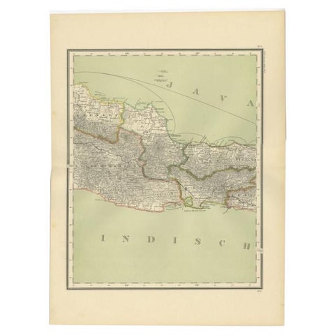
Maps and Sea Charts · Java
Antique Map of Part of Java, Indonesia, 1900
1900 · 38.9 × 51.7 cm€290
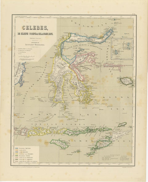
Maps and Sea Charts · Celebes
Antique Colonial Map of Celebes Sulawesi & Lesser Sunda Islands, 1884
1884 · 39 × 48.5 cm€290
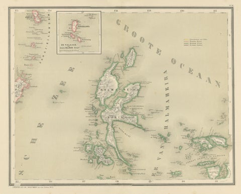
Maps and Sea Charts · Moluccas
Antique Map of Halmahera, Ternate, Tidore, Moluccas by Dornseiffen, 1884
1884 · 39 × 48.5 cm€290
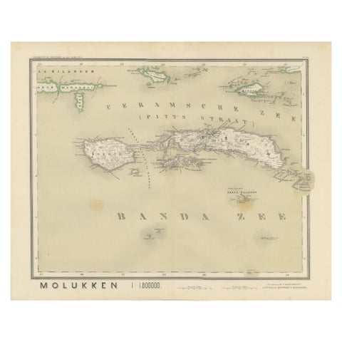
Maps and Sea Charts · Moluccas
Antique Map of Ceram, Ambon, Banda, Buru, Moluccas by Dornseiffen, 1884
1884 · 39 × 48.5 cm€290
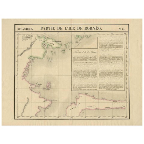
Maps and Sea Charts · Borneo
Antique Map of North East Borneo and North Sulawesi by P.M.G. Vandermaelen
Date not stated · 69.6 × 53.3 cm€281
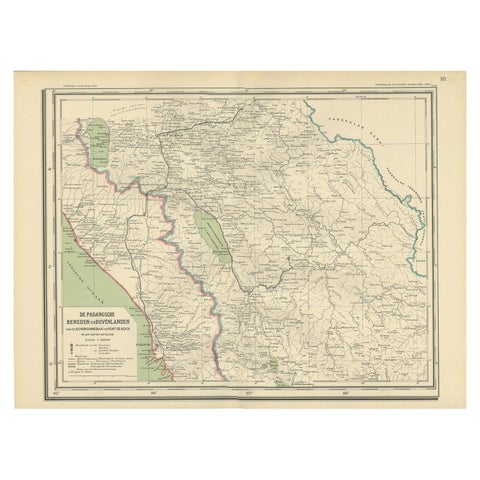
Maps and Sea Charts · Sumatra
Antique Map of Padang, Sumatra, Indonesia, 1900
1900 · 53 × 38 cm€280
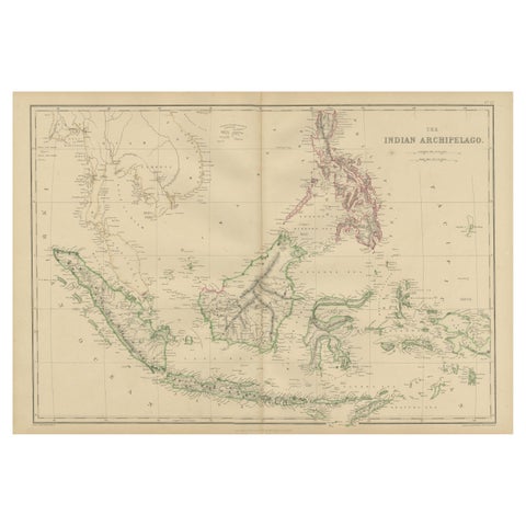
Maps and Sea Charts
Antique Map of the East Indies by W. G. Blackie, 1859
1859 · 54 × 37 cm€275
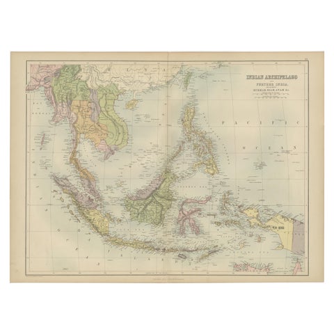
Maps and Sea Charts
Antique Map of the East Indies by A & C. Black, 1870
1870 · 60 × 44.5 cm€275
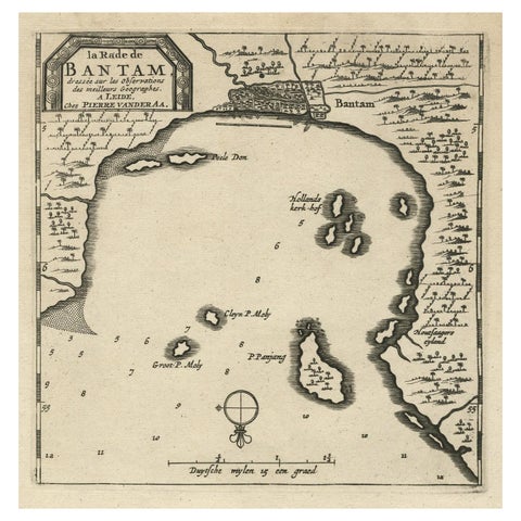
Maps and Sea Charts · Java
Antique Map of Banten Bay on Java Island, Indonesia, c.1720
1720 · 19.4 × 30.3 cm€274
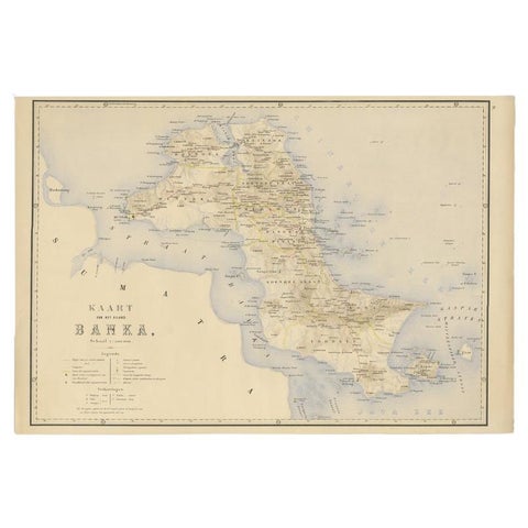
Maps and Sea Charts · Sumatra
Antique Map of Bangka Island, Indonesia, 1885
1885 · 63 × 48 cm€272
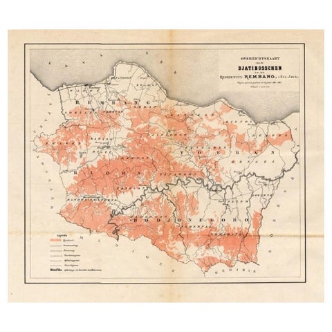
Maps and Sea Charts · Java
Antique Map of the Djati 'teak wood' Forest Near Rembang, Java by Stemler, 1875
1875 · 40 × 34.5 cm€270
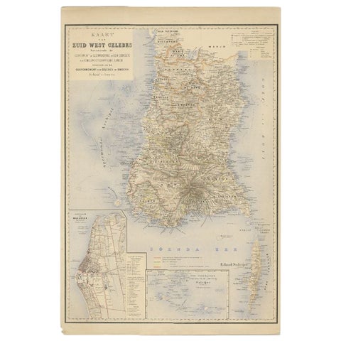
Maps and Sea Charts · Celebes
Antique Map of Southern Sulawesi by Stemfoort, 1885
1885 · 48 × 63 cm€265
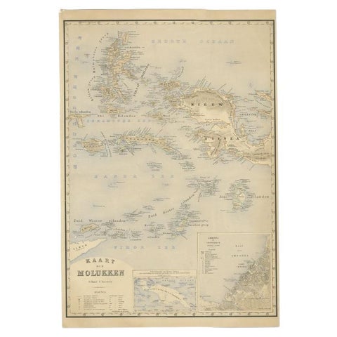
Maps and Sea Charts · Moluccas
Antique Map of the Moluccas by Stemfoort, 1885
1885 · 48 × 61.5 cm€265
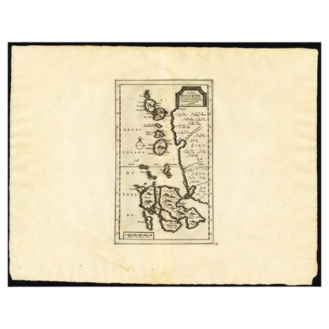
Maps and Sea Charts · Moluccas
Antique Map of the Maluku Islands by Van der Aa, 1725
1725 · 49 × 38 cm€263
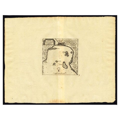
Maps and Sea Charts · Java
Antique Map of the Roadstead of Bantam by Van der Aa, 1725
1725 · 49 × 38 cm€263
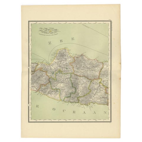
Maps and Sea Charts · Java
Antique Map of Central Java Depicting The Karimun Islands, Indonesia, 1900
1900 · 38.9 × 52.1 cm€260
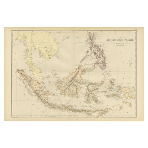
Maps and Sea Charts
1882 Antique Map of Indian Archipelago, Southeast Asia, Blackie & Son
1882 · 57 × 38 cm€260
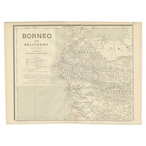
Maps and Sea Charts · Borneo
Antique Map of West Kalimantan, Borneo, Indonesia, 1900
1900 · 51.5 × 38.9 cm€259
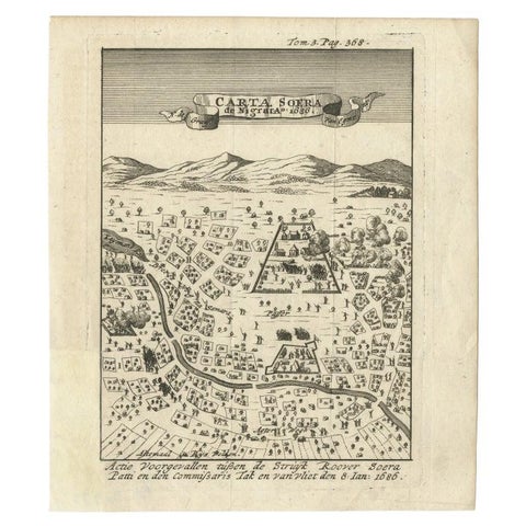
Maps and Sea Charts · Java
Antique Map of Carta Soura, Headquarter of the Javanese Nobility, 1706
1706 · 17 × 19.6 cm€250
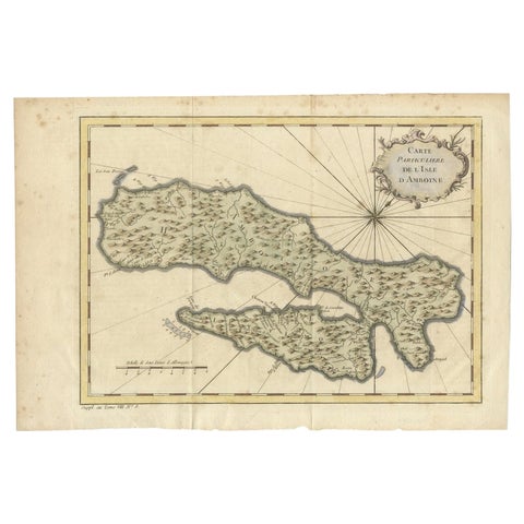
Maps and Sea Charts · Moluccas
Antique Map of Ambon Island in the Moluccas, Indonesia, c.1760
1760 · 36.5 × 25 cm€240