eastindiesmapsandprints.com
✦
Black Friday Sale now on
Up to 30% off original antique maps and prints, until Monday 30 November
The terms
- Up to 30% off selected original antique maps and prints. Every piece is an original, printed in its own time; none is a reproduction.
- The sale runs until Monday 30 November. Prices revert on Tuesday 1 December.
- Free FedEx shipping on qualifying orders placed on our own websites: USA, Canada, UK and Europe over $500 / €450; rest of the world over $750 / €675. Smaller orders pay our normal shipping rate.
- Orders placed from 15 to 30 November ship from 1 December, in time for Christmas. Our shipping partner is InXpress.
- Each piece is unique, so the sale is while stock lasts.
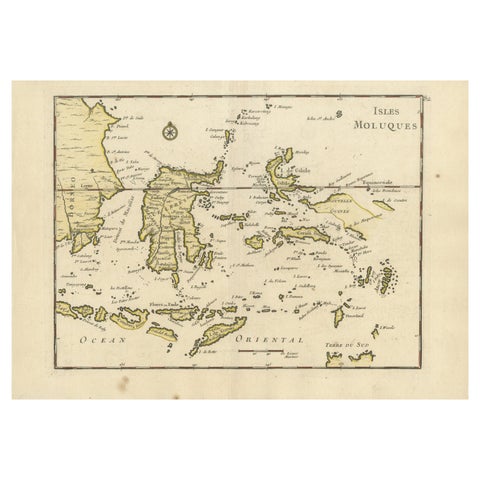 Old Original Antique Map of the Islands of East Indonesia, 1756
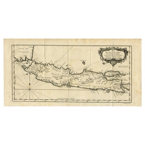 Antique Map of Java and Madura Island, Indonesia, c.1760
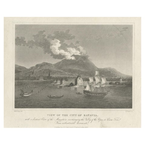 Antique Print of the Harbour Sunda Kelapa of Batavia in the Dutch Indies, 1826
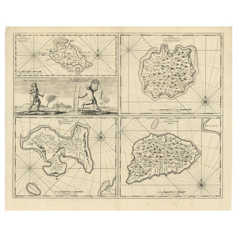 Antique Map of Manipa and Other Maluku Islands, Indonesia, 1726
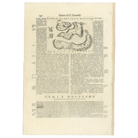 Antique Map of the Banda Islands or Spice Islands, Moluccas, Indonesia, 1697
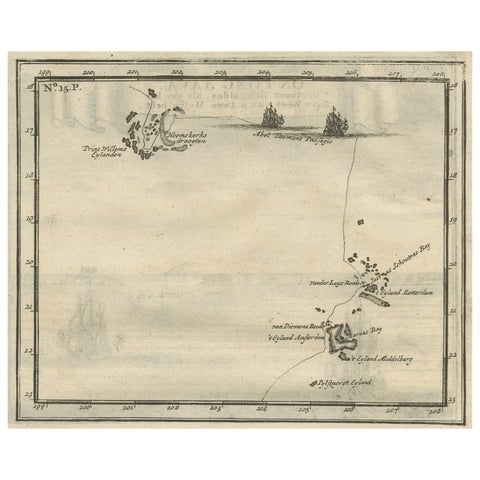 Antique Map of the Banda Islands and the Route of Abel Tasman, Indonesia, 1726
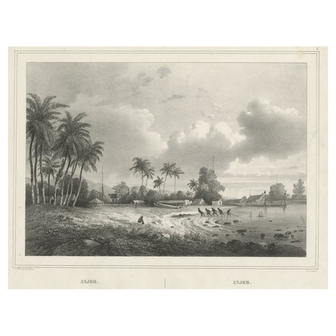 Old Print of Anjer or Anyer, Coastal Town in Banten, West Java, Indonesia, 1844
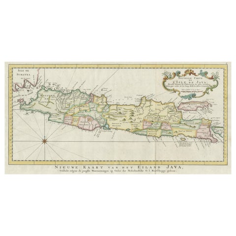 Antique Map of the Island of Java, Indonesia
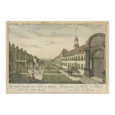 Batavia Castle Church Courtyard – Vue d’Optique, Indonesia c.1770
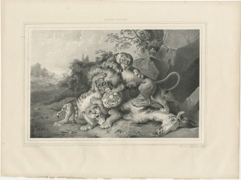 Raden Saleh Tigers & Lions Fight Horse Lithograph, The Hague c.1845
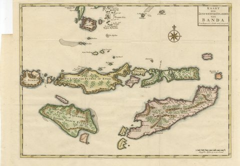 Hand-Colored Chart of Timor, Solor and the Southwest Banda Islands, 1726
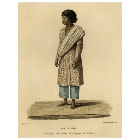 Rare Full-Length Portrait of a Native from the Indonesian Island Timor, 1825
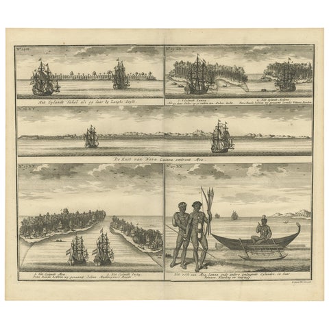 VOC Ships, Native People & Coastal Views of Islands near Papua New Guinea, 1726
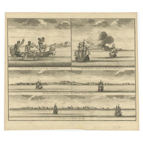 Old Print of VOC Ships & Native Fisherman and Coastal Views of New Guinea, 1726
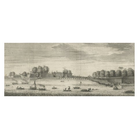 The Castle of Batavia (Jakarta) in the Dutch East Indies (Indonesia), 1726
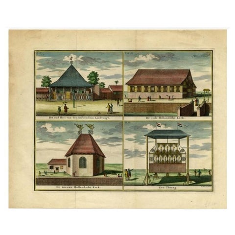 Antique Print with Four Views of Ambon, Indonesia, 1726
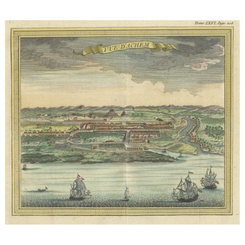 Antique Print with a View of Aceh, Sumatra in Indonesia
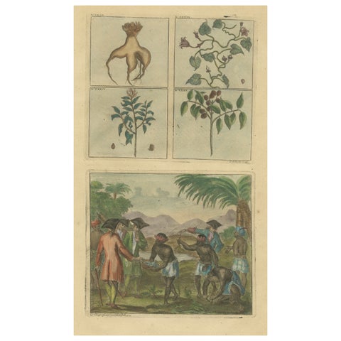 Colored Antique Print of Plants, Trees and Indonesian Natives with VOC Men, 1726
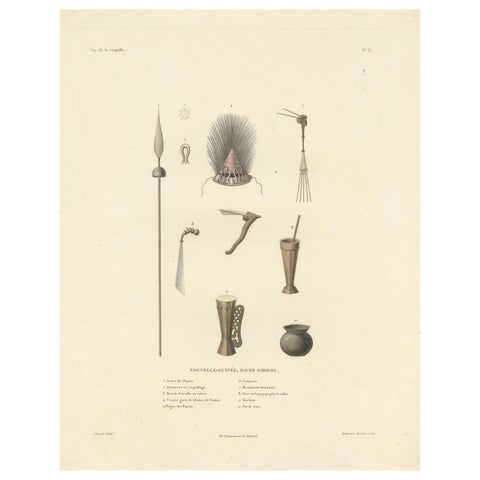 Antique Print of Artifacts from the Haven of Doreri, New Guinea
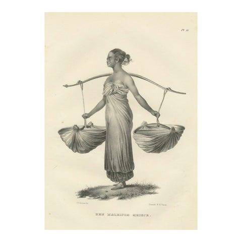 A Malaysian Girl Carrying Goods by Karl Joseph Brodtmann, 1836
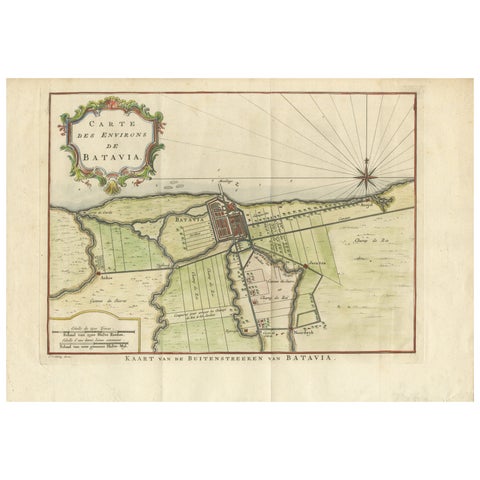 Map of Batavia’s Surroundings with Early Reference to Jakarta, Indonesia, c.1770
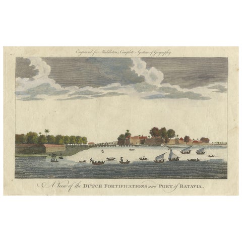 1778 View of the Dutch Fortifications and Port of Batavia, Now Jakarta
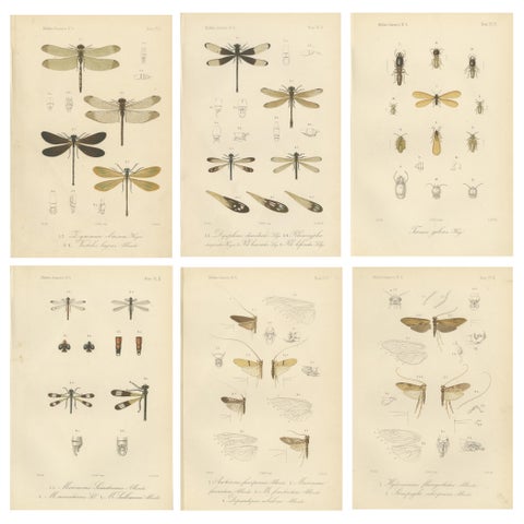 Set of 6 Antique 1887 Sumatra Dragonfly and Insect Lithographs – Fauna Studies
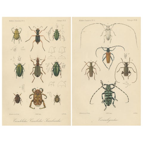 Set of 2 Antique Beetle Prints – Scarab, Ground & Longhorn Beetles, Sumatra 1887
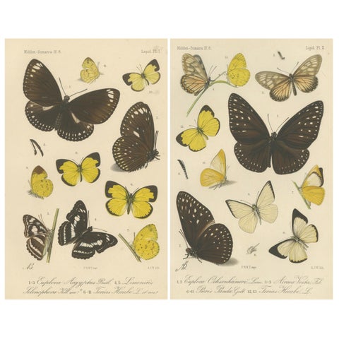 Antique Butterfly Prints (Set of 2) – Sumatra Lepidoptera c.1887
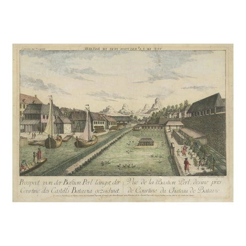 Batavia Bastion Perl – Antique Optical Print of Indonesia, c.1770
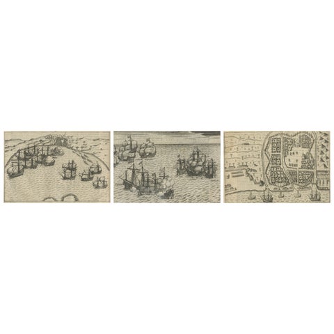 Dutch Fleet and Fortified Port City of Bantam, from History of Amsterdam, 1611
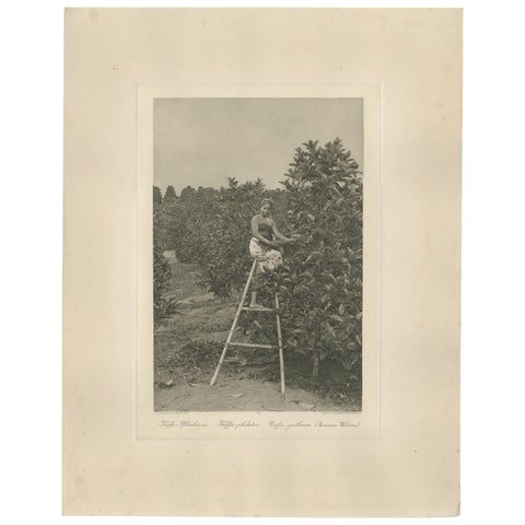 Coffee Picker Portrait, Deli Plantations, Sumatra, Dutch East Indies, c.1900
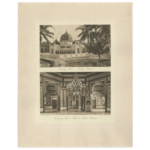 Malay Mosque Tandjong Poera – Original 1900s Photogravure, Sumatra Indonesia
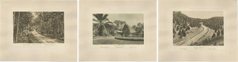 Set of 3 Antique Photogravures of Sumatra Plantations — Deli, Medan Region, 1900
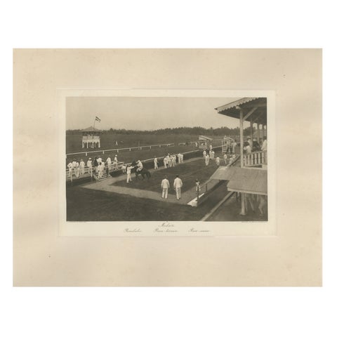 Medan Race-Course, Colonial Era Horse Racing Scene, Antique Photogravure c.1900
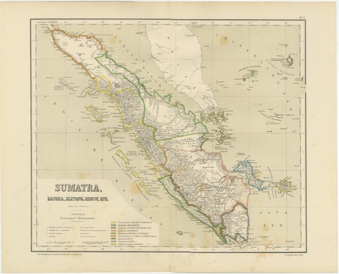 Antique Map of Sumatra, Bangka Belitung and Riau in the Dutch East Indies, 1884
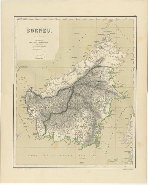 Rare Antique Map of Borneo (Kalimantan), Dutch East Indies Colonial Era, 1884
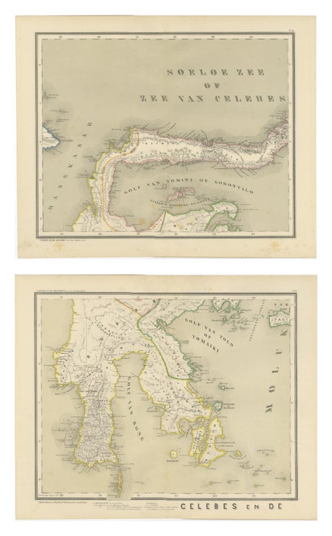 Antique Two-Sheet Map of Celebes Sulawesi - Dornseiffen, Dutch East Indies, 1884
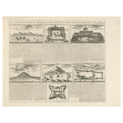 Antique Dutch East Indies Forts Engraving — VOC Batavia, Ambon & Banda, c.1719
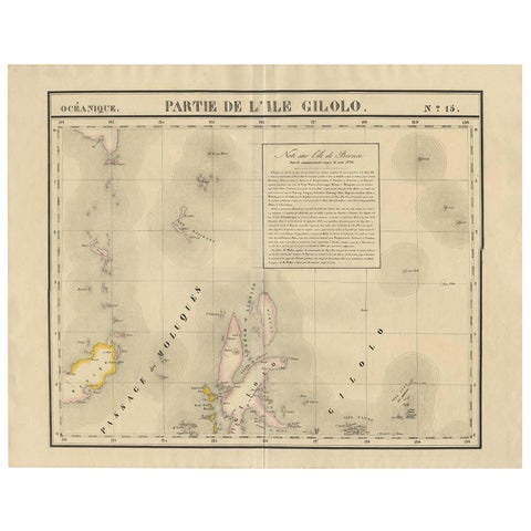 Antique Map of Southern Mindanao, Sulawesi and Gilolo Halmahera, Indonesia, 1827
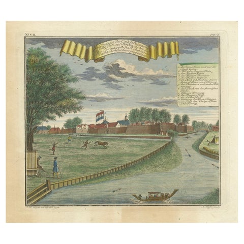 Batavia Castle and Parade Ground – Hand-Coloured Engraving by J.W. Heydt, 1738
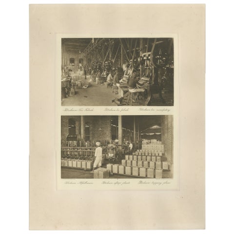 Petroleum Tin Factory & Filling Operations — Photogravure, Sumatra ca.1900
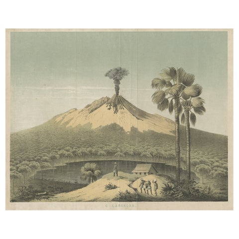 Beautiful Lithograph of The Vulcano Gunung Lamongan, Java, Indonesia, c.1853
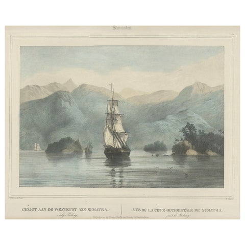 Antique Print of a Ship Near the Coast of Sumatra, Indonesia, c.1845
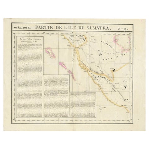 Detailed Antique Map of the Western Sumatra, Indonesia, circa 1825
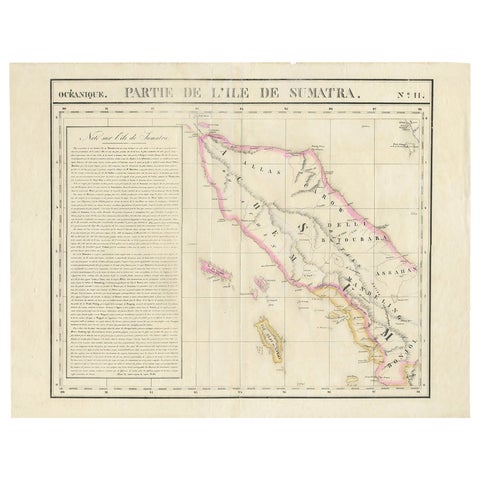 Detailed Antique Map of Northern Sumatra, Indonesia, circa 1825
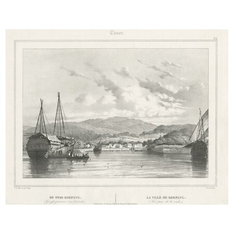 Antique Print of Kupang or Koepang in the East Indies, Now West-Timor, Indonesia
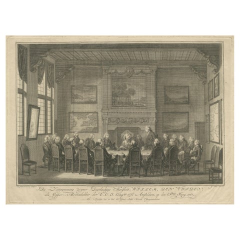 Meeting of the VOC Directors with Prince William V, Amsterdam 1768
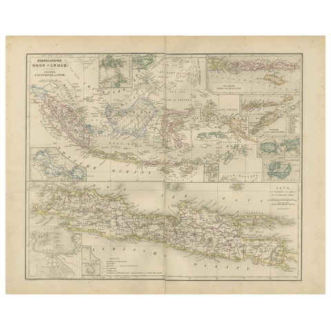 Netherlands East Indies Map with Java Inset – Nieuwe Hand-Atlas, 1876
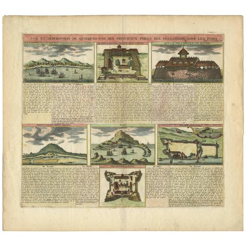 Antique Print of Dutch V.O.C. Trading Outposts and Forts in the East Indies
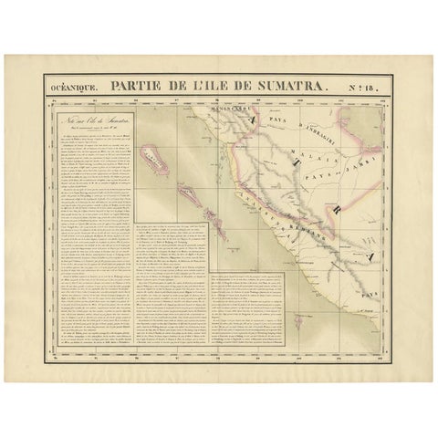 Antique Map of West Sumatra by P.M.G. Vandermaelen, 1827
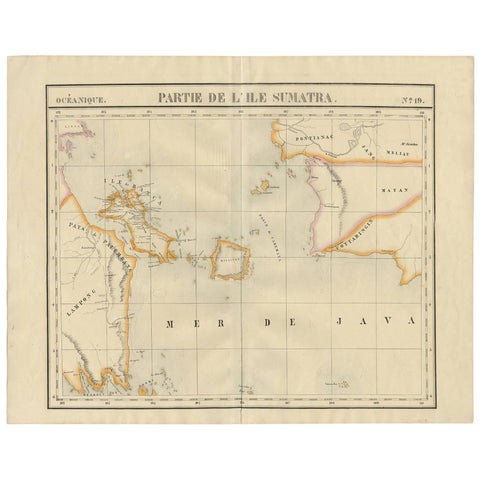 Antique Map of South Sumatra by P.M.G. Vandermaelen, 1827