The Banda Islands
The Banda Islands, the only source of nutmeg and mace in the 17th century, with Banda Neira and Fort Nassau.
16 sheets
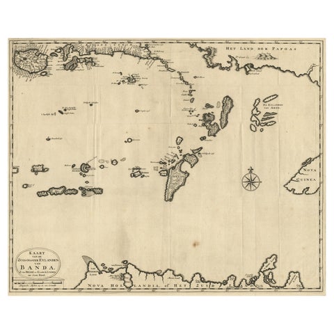
Maps and Sea Charts · Moluccas
Map of the Southeastern Part of the Banda Islands, Incl Northern Australia, 1726
1726 · 58.5 × 47 cm€1,120
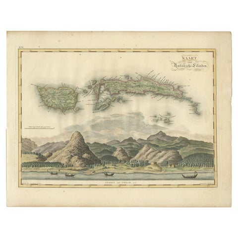
Maps and Sea Charts · Moluccas
Antique Map of Seram, Boero and the Banda Islands by Van den Bosch '1818'
1818 · 58 × 46 cm€1,078
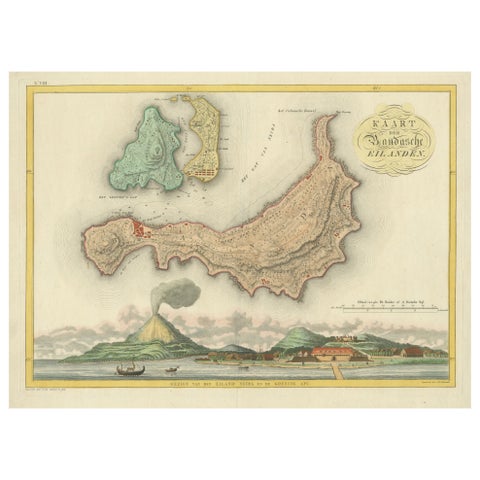
Maps and Sea Charts · Moluccas
Colonial Cartography: The Banda Islands, the Epicenter of the Spice Trade, 1818
1818 · 61.5 × 49.2 cm€840
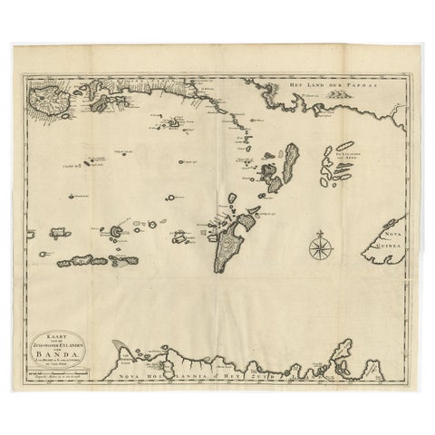
Maps and Sea Charts · Moluccas
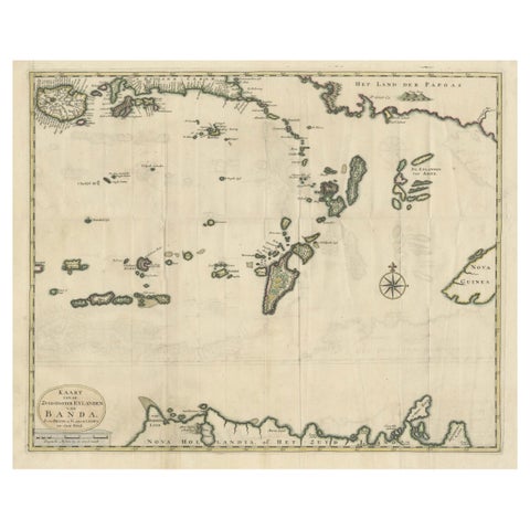
Original Antique Map Southeast of the Banda or Spice Islands, Indonesia, 1726
1726 · 59 × 50 cm€770
Maps and Sea Charts · Moluccas
Old Antique Map of the Banda Islands (Southeast), Indonesia & Northern Australia
Date not stated · 61 × 51.5 cm€699
The Company · Moluccas
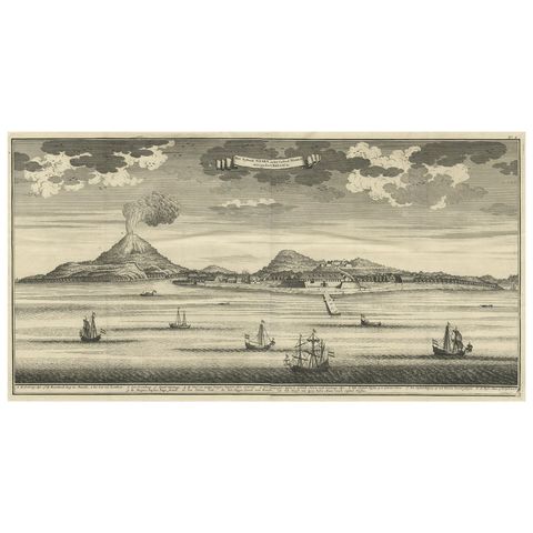
Beautiful Old View of Spice Island Banda Neira with Fort Nassau, Indonesia, 1726
1726 · 59 × 34 cm€686
Maps and Sea Charts · Moluccas
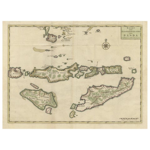
Old Antique Map of the Sumbawa, Flores, Timor in the Banda Region of Indonesia
Date not stated · 53 × 39.5 cm€665
Towns and Landscapes · Moluccas
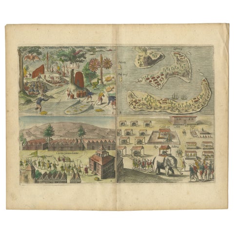
Antique Engravings of Mauritius and Indonesia, incl de Banda Islands, c.1730
1730 · 31.8 × 22.4 cm€550
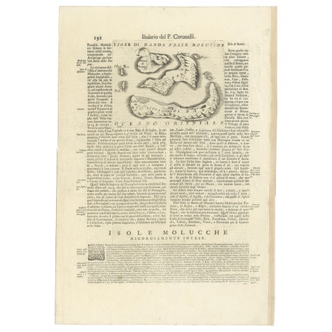
Maps and Sea Charts · Moluccas
Antique Map of the Banda Islands or Spice Islands, Moluccas, Indonesia, 1697
1697 · 33 × 48 cm€450
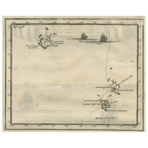
Maps and Sea Charts · Moluccas
Antique Map of the Banda Islands and the Route of Abel Tasman, Indonesia, 1726
1726 · 20 × 34 cm€450
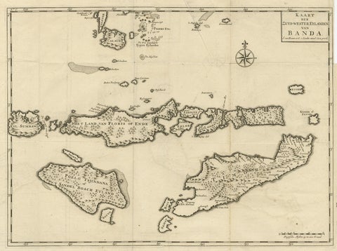
Maps and Sea Charts · Moluccas
Antique Map of the Banda Islands in Indonesia by Valentijn, 1726
1726 · 51.5 × 41.5 cm€362
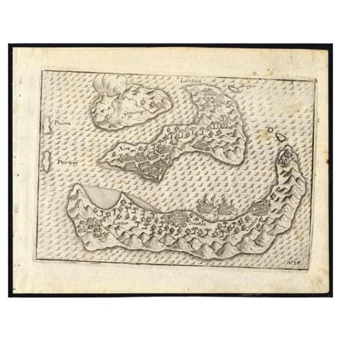
Maps and Sea Charts · Moluccas
Antique Map of the Banda Islands by Commelin, 1646
1646 · 23 × 17.5 cm€353
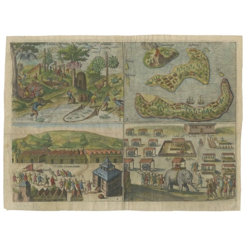
Towns and Landscapes · Java
Mauritius, Banda Islands, Ternate and Tuban, Orlers, Leiden 1610
1610 · 32.6 × 24.3 cm€340
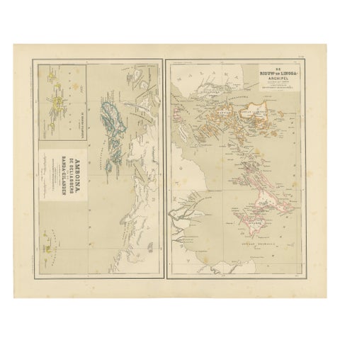
Maps and Sea Charts · Sumatra
Antique Map of Riouw, Lingga Archipelago, Singapore, Banda by Dornseiffen, 1884
1884 · 48.5 × 39 cm€340
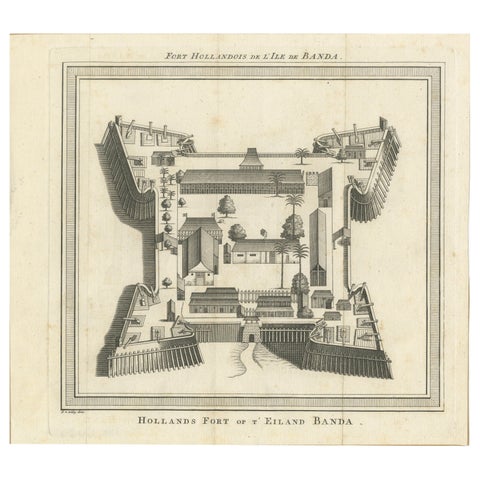
The Company · Moluccas
VOC Fort Nassau at Banda of The Spice Islands, Bird’s-eye View Engraving, c.1740
1740 · 24.5 × 22 cm€290
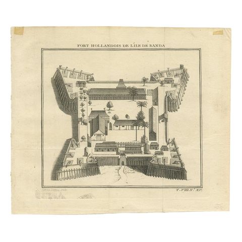
The Company · Moluccas
Antique Print of the Dutch Fort on Banda by Tardieu 'circa 1750'
1750 · 19 × 16 cm€120
More to explore
Places