Bali
Bali, from the Dutch pictures of 1601 to the maps of the 18th and 19th centuries.
9 sheets
Maps and Sea Charts · Java
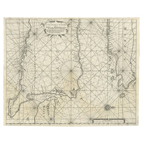
Rare Old English Sea Chart of Part of Indonesia with Java, Madura and Bali, 1711
1711 · 55.3 × 45 cm€1,650
Maps and Sea Charts · Lesser Sunda
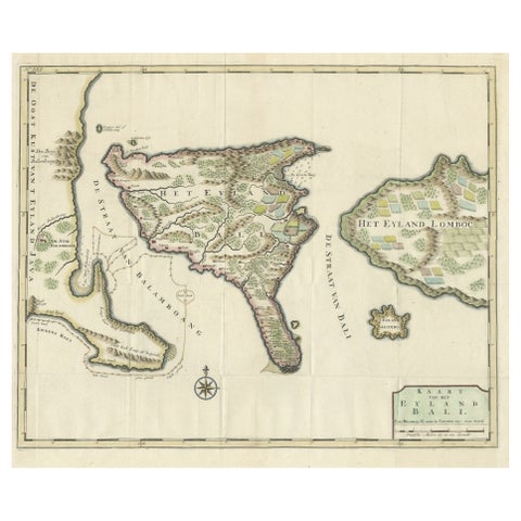
1726 Valentyn's Map of Bali and Lombok, Original Engraving
1726 · 62 × 55 cm€1,500
Maps and Sea Charts · Borneo
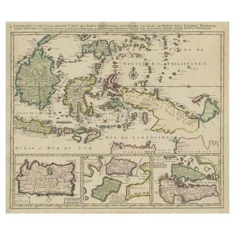
Old Map of the East Indonesian Islands Borneo, Celebes, New Guinea, Bali, 1792
1792 · 64.5 × 55 cm€1,250
Set of 5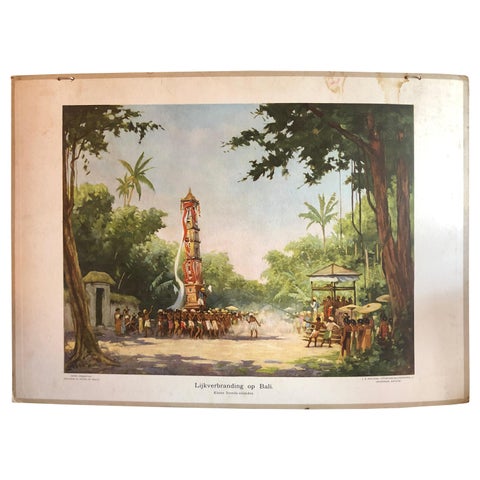
Towns and Landscapes · Lesser Sunda
Collection of 5 Vintage School-Charts of Indonesia, Incl Bali Ritual Cremation
circa 1930 · 111 × 83 cm€806

Maps and Sea Charts · Java
Rare Small Map of Sumatra, Java, Borneo, Macassar, Madura, Bali, 1614
1614 · 24 × 18 cm€750
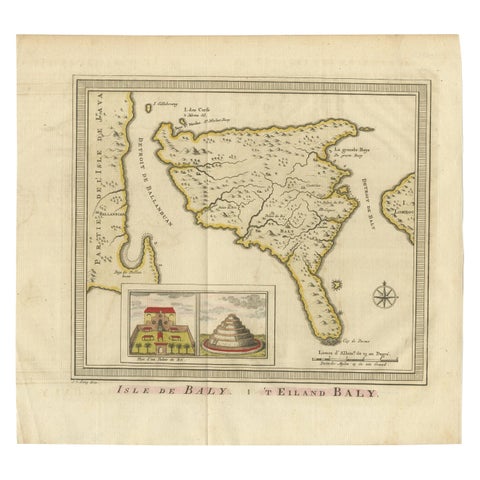
Maps and Sea Charts · Lesser Sunda
Anbtique Map of the Island of Bali by Van Schley '1755'
1755 · 28 × 25.5 cm€550
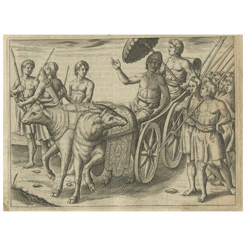
Peoples and Costume · Lesser Sunda
Earliest Depiction of Bali, Dutch Engraving of the King of Bali, c.1601
1601 · 18.2 × 24 cm€390
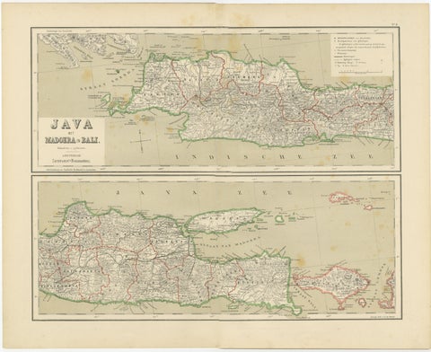
Maps and Sea Charts · Java
Old Map of Java, Madura & Bali, Dutch East Indies Colonial Cartography, 1884
1884 · 48.5 × 39 cm€360
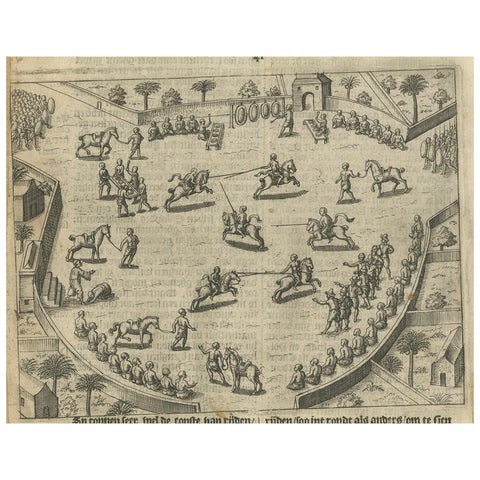
Peoples and Costume · Java
Earliest Depiction of Balinese Festival and Gamelan, Dutch Engraving c.1601
1601 · 18.2 × 24 cm€330
More to explore
Places