Search: New Guinea
61 sheets
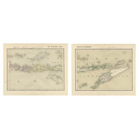
Maps and Sea Charts · Lesser Sunda
Antique Two-Sheet Map of the Lesser Sunda Islands, Dutch East Indies, 1884
1884 · 39 × 48.5 cm$380
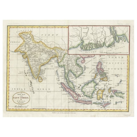
Maps and Sea Charts · Java
1782 Map of the East Indies, India, Siam, Philippines, Java, Borneo, Ganges
1782 · 34.5 × 26 cm$370
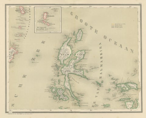
Maps and Sea Charts · Moluccas
Antique Map of Halmahera, Ternate, Tidore, Moluccas by Dornseiffen, 1884
1884 · 39 × 48.5 cm$325
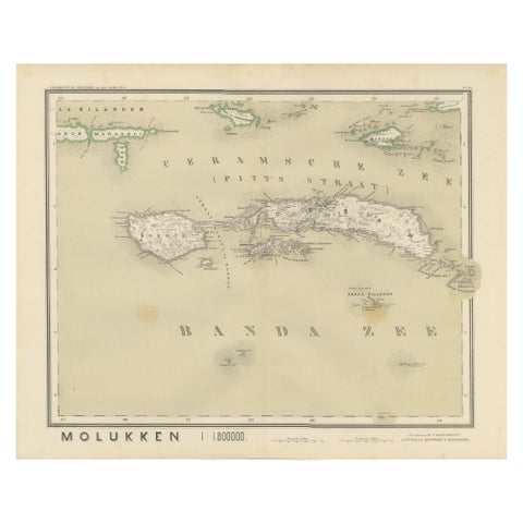
Maps and Sea Charts · Moluccas
Antique Map of Ceram, Ambon, Banda, Buru, Moluccas by Dornseiffen, 1884
1884 · 39 × 48.5 cm$325
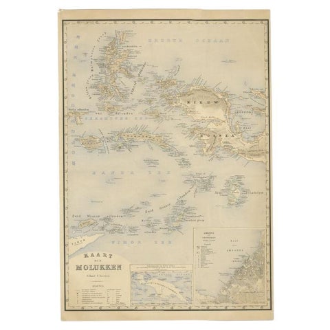
Maps and Sea Charts · Moluccas
Antique Map of the Moluccas by Stemfoort, 1885
1885 · 48 × 61.5 cm$295
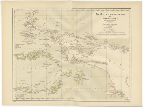
Maps and Sea Charts · Moluccas
Antique Map of the Moluccas and Irian Jaya (Papua), Indonesia, 1900
1900 · 52.2 × 38.9 cm$250
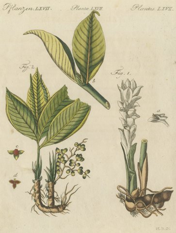
Flora and Fauna
Zedoary and Grains of Paradise Spice Plants, Antique Bertuch Print, circa 1805
circa 1801-1807$245
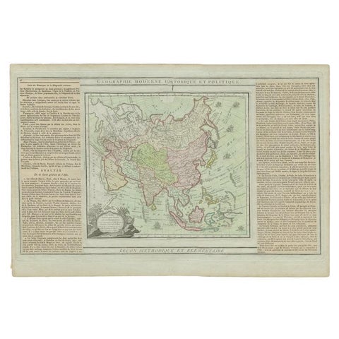
Maps and Sea Charts
Antique Map of Asia Showing all of Indonesia and the Marianas, 1790
1790 · 50.5 × 33.5 cm$245
Maps and Sea Charts · Moluccas
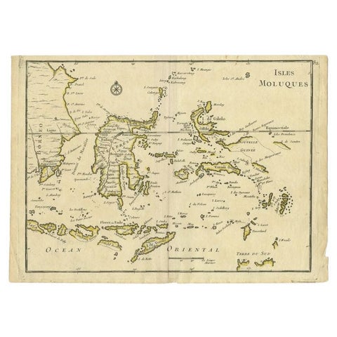
Antique Map of the Maluku Islands by Le Rouge, c.1750
1750 · 30.2 × 21.8 cm$175
Peoples and Costume · New Guinea
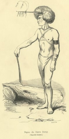
Papuan of Dorey Harbour, Antique Wahlen Costume Print, 1843-1844
1843-1844$160
Peoples and Costume · New Guinea
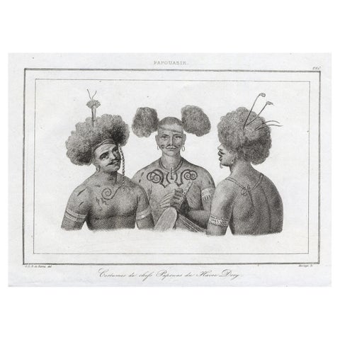
Antique Print of Costumes of Papua Chiefs, 1836
1836 · 21 × 13 cm$155
Peoples and Costume · Moluccas
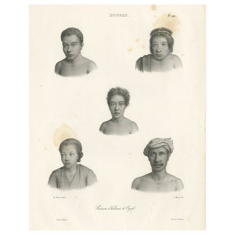
Antique Print of Kayeli People, Buru, Indonesia, 1833
1833 · 32.4 × 50 cm$145
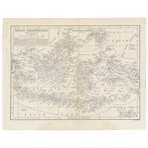
Maps and Sea Charts
Antique Map of the Malay Archipelago by Walker, 1911
1911 · 27 × 21.5 cm$100