Every map and print
114 sheets
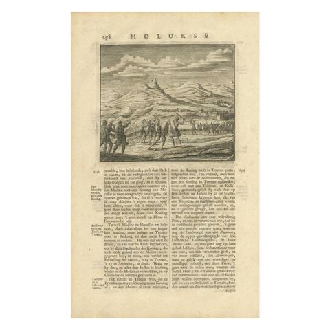
The Company · Moluccas
Antique Print of a Battle Scene at the Moluccas, Indonesia, 1726
1726 · 21 × 34 cm$155
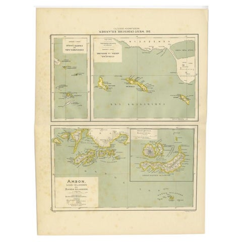
Maps and Sea Charts · Moluccas
Antique Map of the West Indies and Ambon in Indonesia, 1900
1900 · 38.7 × 51.9 cm$155
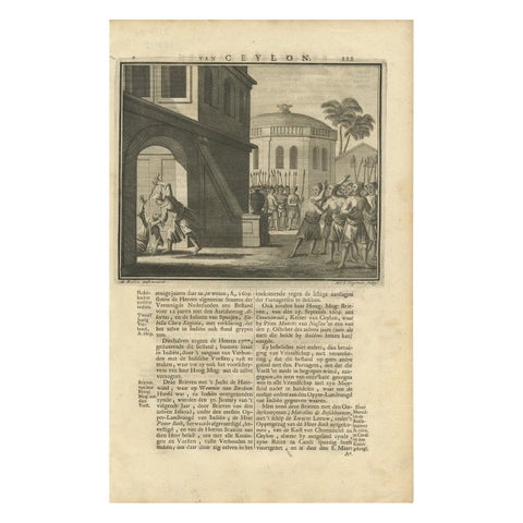
The Company · Moluccas
Antique Print of the Death of the Prince of Oeva by Valentijn, 1726
1726 · 21 × 34 cm$155
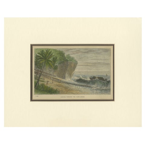
Towns and Landscapes · Moluccas
Landing Through the Surf, Ceram, late 19th-century hand-colored wood engraving
Date not stated · 30 × 24 cm$155
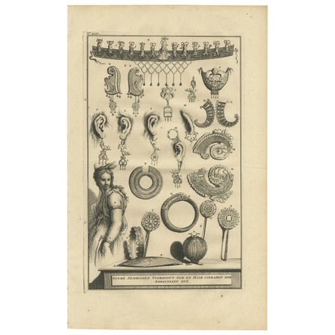
Peoples and Costume · Moluccas
Antique Print of Ambonese Jewelry by Valentijn, 1726
1726 · 21 × 34 cm$155
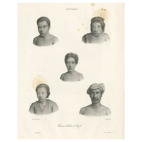
Peoples and Costume · Moluccas
Antique Print of Kayeli People, Buru, Indonesia, 1833
1833 · 32.4 × 50 cm$145
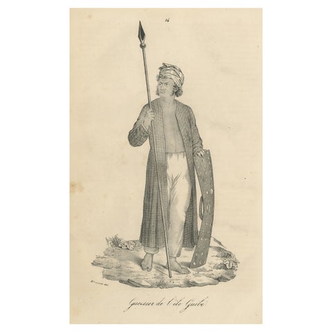
Peoples and Costume · Moluccas
Antique Print of a Warrior from the Island of Guebe, Maluku Islands
Date not stated · 16.5 × 26.2 cm$145
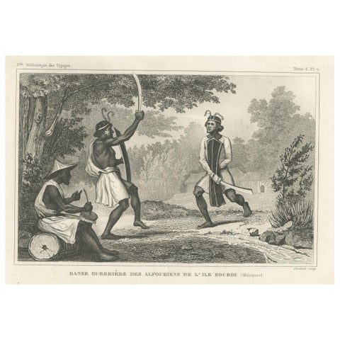
Peoples and Costume · Moluccas
Antique Print of Dancing Warriors on Buru Island, Maluku
Date not stated · 21.2 × 12.8 cm$145
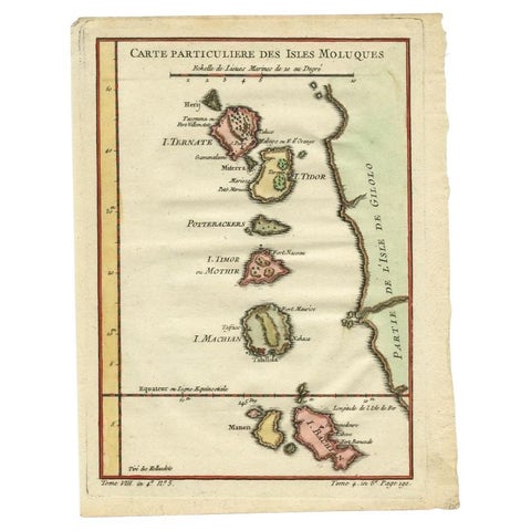
Maps and Sea Charts · Moluccas
Antique Map of the Maluku Islands by Bellin, c.1750
1750 · 18.5 × 24.5 cm$140
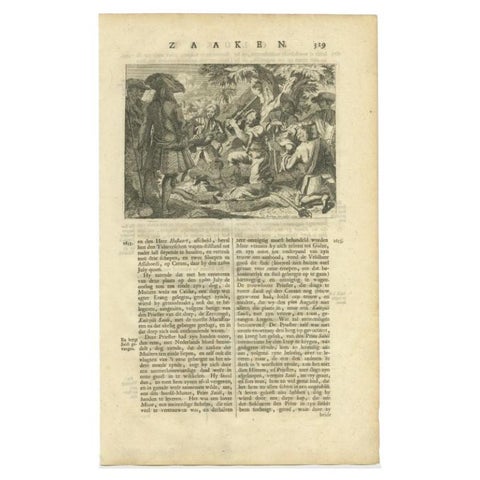
The Company · Moluccas
Antique Print of the Murder of Kaitsjili Saidi by Valentijn, 1726
1726 · 21 × 34 cm$140
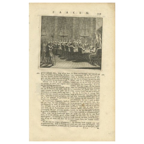
The Company · Moluccas
Antique Print of a Dinner in the Moluccas by Valentijn, 1726
1726 · 21 × 34 cm$140
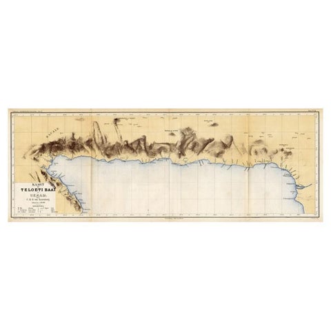
Maps and Sea Charts · Moluccas
Antique Map of Taluti Bay by Stemler, C.1875
1875 · 76 × 27.5 cm$140
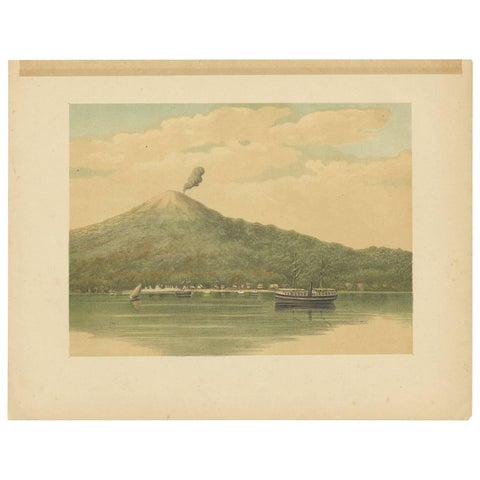
Towns and Landscapes · Moluccas
Antique Print of the Volcano of Ternate by M.T.H. Perelaer, 1888
1888 · 31.5 × 24.2 cm$135
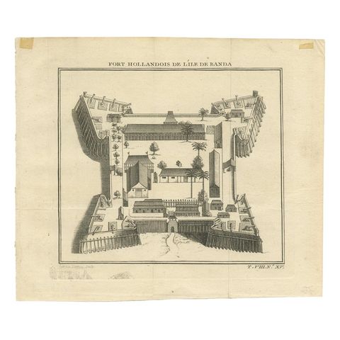
The Company · Moluccas
Antique Print of the Dutch Fort on Banda by Tardieu 'circa 1750'
1750 · 19 × 16 cm$135
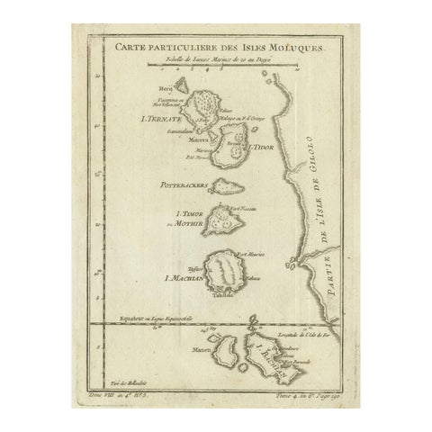
Maps and Sea Charts · Moluccas
Antique Map of the Moluccas (Maluku Islands), Indonesia, Bellin, 18th Century
Date not stated · 17.9 × 24.6 cm$125
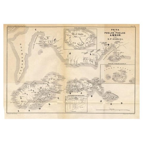
Maps and Sea Charts · Moluccas
Antique Map of the Maluku Islands 'Ambon' by Stemler, 1874
1874 · 46.5 × 32 cm$110
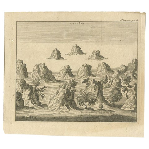
Towns and Landscapes · Moluccas
Antique Print of Ambon, Indonesia, c.1740
1740 · 19 × 17 cm$110
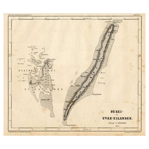
Maps and Sea Charts · Moluccas
Antique Map of the Kai Islands by Stemler, c.1875
1875 · 27.5 × 22 cm$70