Search: Borneo
40 sheets
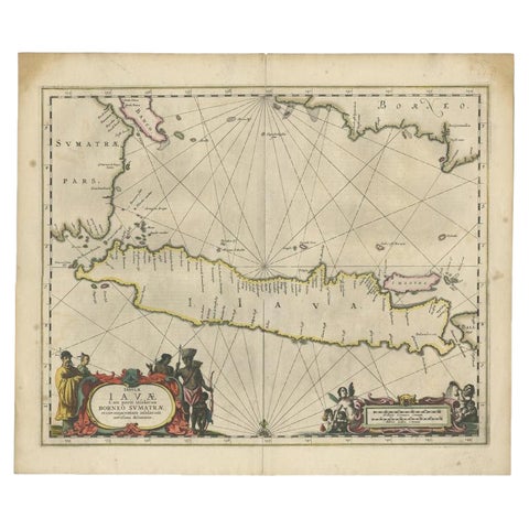
Maps and Sea Charts · Java
Antique Map of Java and Part of Borneo, Indonesia, c.1657
1657 · 49.5 × 58 cm€2,750
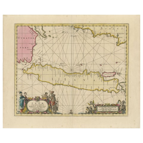
Maps and Sea Charts · Java
Antique Map of Java, Sumatra & Borneo, Dutch East Indies Sea Chart c.1700
1700 · 61.5 × 51.2 cm€2,250
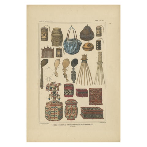
Peoples and Costume · Borneo
Set of 7 Decorative Antique Prints of Borneo, Timor and Papua Culture, ca. 1840
1840 · 31 × 45 cm€2,130
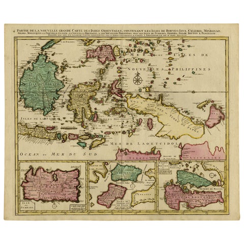
Maps and Sea Charts · Borneo
Old Map of Indonesian Islands Borneo, Celebes, New Guinea & New Britain, 1792
1792 · 66 × 55.3 cm€1,450
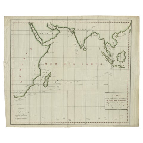
Maps and Sea Charts · Java
Old Map of Indian Ocean & Sumatra, Java, Borneo, India, Arabia, Africa, c.1783
1783 · 64.5 × 53 cm€1,400
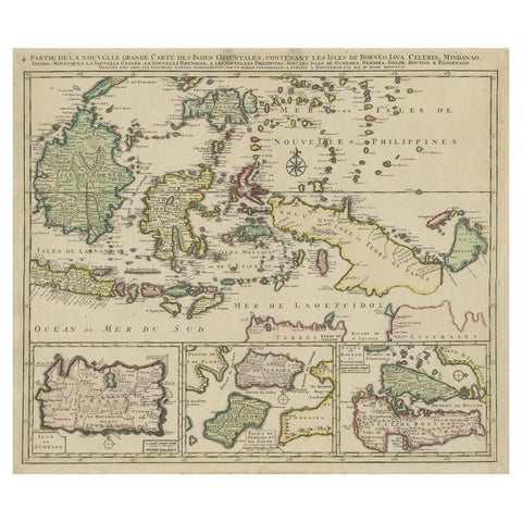
Maps and Sea Charts · Borneo
Old Map of the East Indonesian Islands Borneo, Celebes, New Guinea, Bali, 1792
1792 · 64.5 × 55 cm€1,250
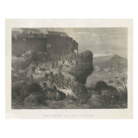
The Company · Borneo
Rare Old Lithograph of the Assault of a Fort in Borneo, Indonesia, ca.1850
1850 · 53 × 41 cm€950
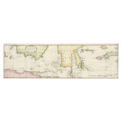
Maps and Sea Charts · Java
Rare Chart of Indonesia Including Borneo, Java, Celebes, Ceram and More, 1779
1779 · 74.5 × 23 cm€890
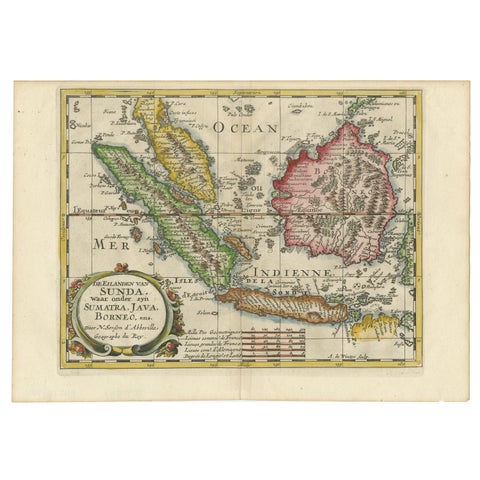
Maps and Sea Charts · Java
Antique Map of the Sunda Islands Including Sumatra, Java, and Borneo, 1705
1705 · 30.2 × 22 cm€860

Maps and Sea Charts · Java
Rare Small Map of Sumatra, Java, Borneo, Macassar, Madura, Bali, 1614
1614 · 24 × 18 cm€750
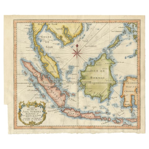
Maps and Sea Charts · Java
Java, Sumatra & Borneo Map, Bellin & van Schley Decorative Chart, 1750s
Date not stated · 32 × 26.5 cm€650
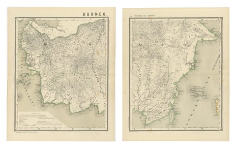
Maps and Sea Charts · Borneo
Antique Map Set of Western & Southern Borneo, Dutch East Indies Era, 1884
1884 · 39 × 48.5 cm€640
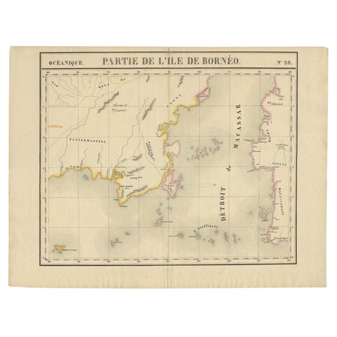
Maps and Sea Charts · Borneo
Antique Map of Part of Borneo 'Kalimantan' Indonesia, by Vandermaelen, C.1825
1825 · 70 × 53 cm€620
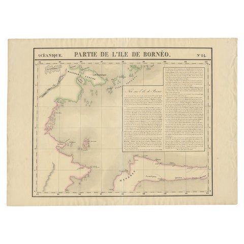
Maps and Sea Charts · Borneo
Antique Map of Part of Borneo 'Kalimantan' Indonesia by Vandermaelen, C.1825
1825 · 72 × 53 cm€620
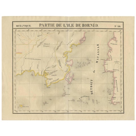
Maps and Sea Charts · Borneo
Antique Map of Southeast Borneo by P.M.G. Vandermaelen, 1827
1827 · 67 × 53 cm€565
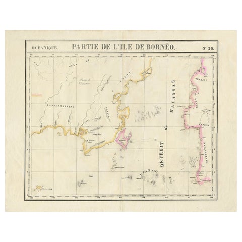
Maps and Sea Charts · Borneo
Detailed Antique Map of a Portion of Borneo and Sulawesi in Indonesia, c.1825
1825 · 69 × 53.5 cm€540
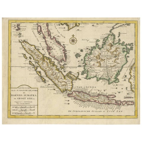
Maps and Sea Charts · Java
Antique Map of the Sunda Islands Sumatra, Java, Malay Peninsula & Borneo (1739)
1739 · 39.5 × 31 cm€539
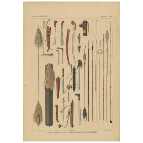
Peoples and Costume · Borneo
Antique Print with Weapons of Borneo 'Indonesia' by Temminck, circa 1840
1840 · 31 × 45 cm€450
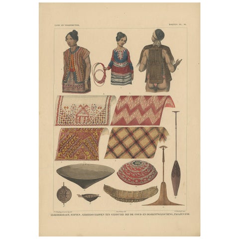
Peoples and Costume · Borneo
Print with Clothes and Utensils of Borneo 'Indonesia' by Temminck, circa 1840
1840 · 31 × 45 cm€450
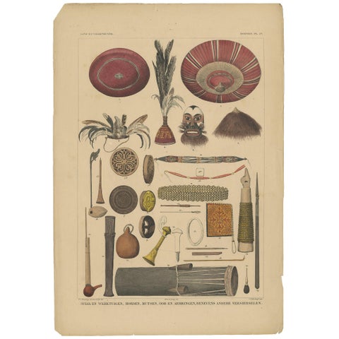
Peoples and Costume · Borneo
Antique Print with Tools from Borneo 'Indonesia' by Temminck, circa 1840
1840 · 31 × 45 cm€450
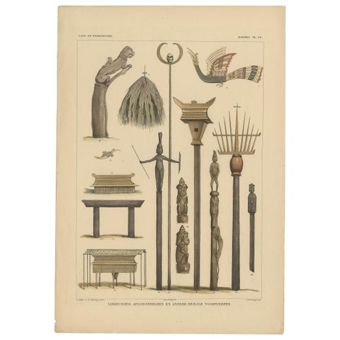
Peoples and Costume · Borneo
Print with Religious Items from Borneo 'Indonesia' by Temminck, circa 1840
1840 · 31 × 45 cm€450
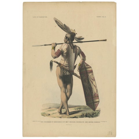
Peoples and Costume · Borneo
Antique Print with a Native of Borneo ‘Indonesia’ by Temminck, circa 1840
1840 · 31 × 45 cm€450
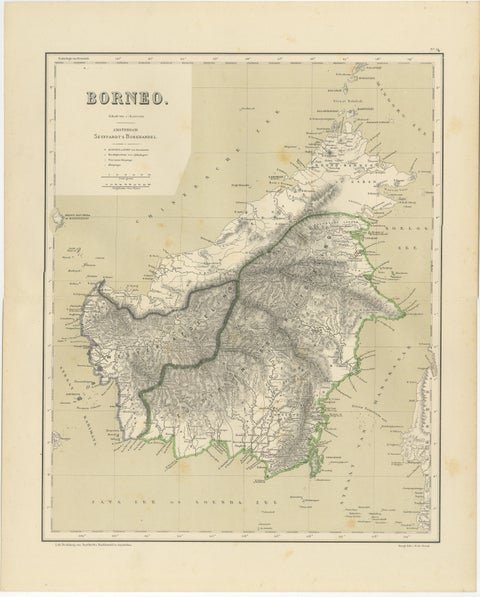
Maps and Sea Charts · Borneo
Rare Antique Map of Borneo (Kalimantan), Dutch East Indies Colonial Era, 1884
1884 · 39 × 48.5 cm€440
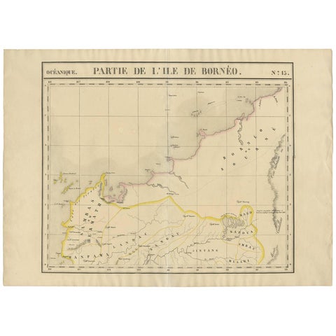
Maps and Sea Charts · Borneo
Antique Map of Borneo and Malaysia by P.M.G. Vandermaelen, 1827
1827 · 72.8 × 53 cm€395
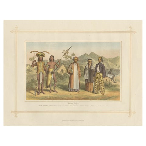
Peoples and Costume · Borneo
Antique Chromolithograph Depicting Native Malays, Incl Dayaks of Borneo, 1882
1882 · 35.5 × 28 cm€360
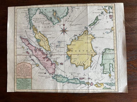
Maps and Sea Charts · Java
Original Map of the East Indies Including Sumatra, Java, Borneo & Malaysia, 1755
1755 · 33 × 24.5 cm€350
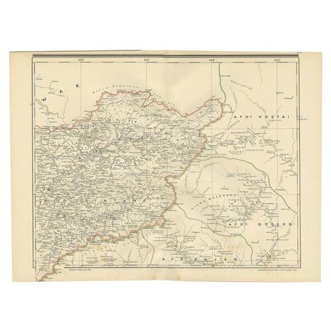
Maps and Sea Charts · Borneo
Antique Map of West Kalimantan (Schwaner Mountains), Borneo, Indonesia, 1900
1900 · 52.3 × 38.9 cm€330
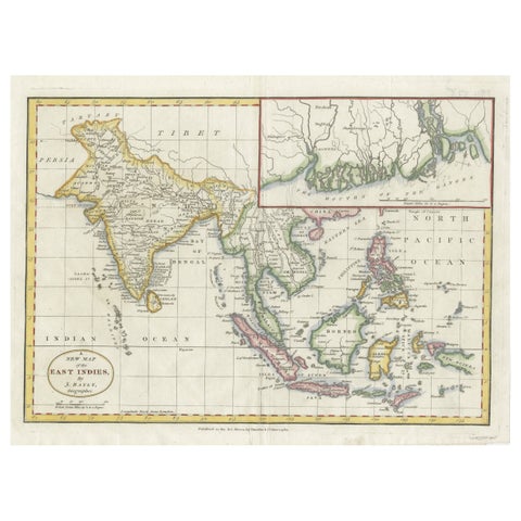
Maps and Sea Charts · Java
1782 Map of the East Indies, India, Siam, Philippines, Java, Borneo, Ganges
1782 · 34.5 × 26 cm€330
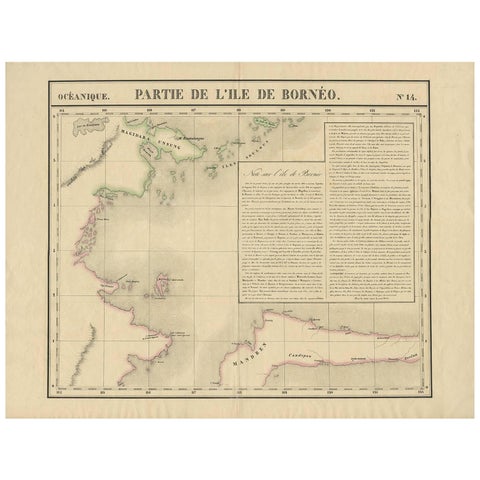
Maps and Sea Charts · Borneo
Antique Map of North East Borneo and North Sulawesi by P.M.G. Vandermaelen
Date not stated · 69.6 × 53.3 cm€281
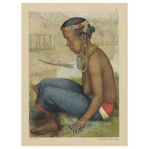
Peoples and Costume · Borneo
Antique Print of a Tring Dayak Woman from Borneo Island, Indonesia, 1881
1881 · 8.7 × 11.4 cm€280
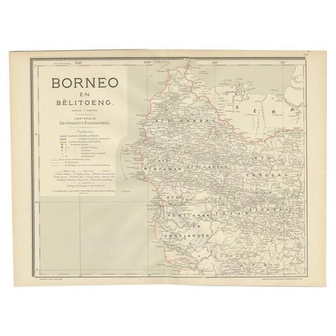
Maps and Sea Charts · Borneo
Antique Map of West Kalimantan, Borneo, Indonesia, 1900
1900 · 51.5 × 38.9 cm€259
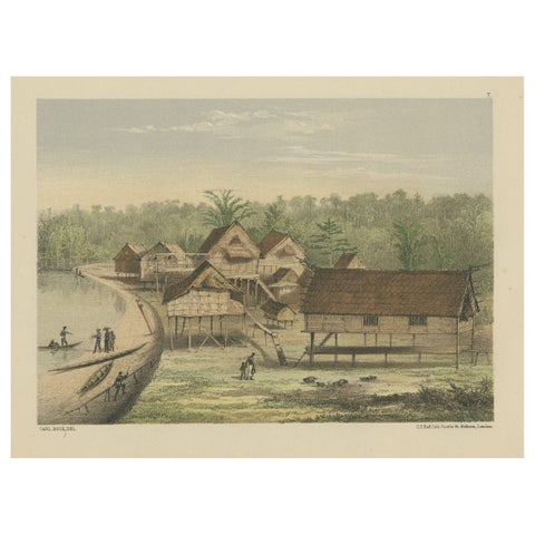
Towns and Landscapes · Borneo
Old Print of Houses of Longwai, West Kutai Regency, East Kalimantan, Indonesia
Date not stated · 28.5 × 22 cm€240
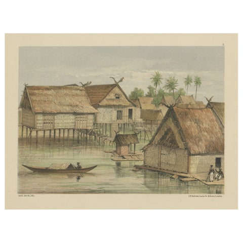
Towns and Landscapes · Borneo
Print of Tenggarong in East-Kalimantan on The Island of Borneo, Indonesia, 1881
1881 · 29 × 22 cm€240
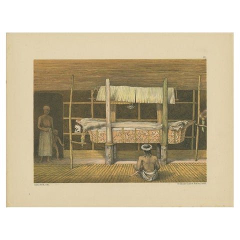
Peoples and Costume · Borneo
Antique Print of the 'Katafalk' of the Dayak Chief in Borneo, Indonesia, 1881
1881 · 29 × 22 cm€220
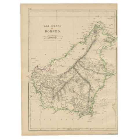
Maps and Sea Charts · Borneo
Antique Map of the Island of Borneo by W. G. Blackie, 1859
1859 · 27 × 37 cm€200
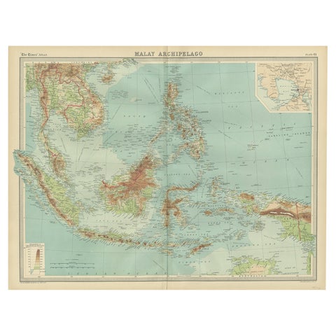
Maps and Sea Charts · Borneo
Old Map of South East Asia Showing the Malay Archipelago, incl Borneo etc, 1922
1922 · 59 × 45.5 cm€190
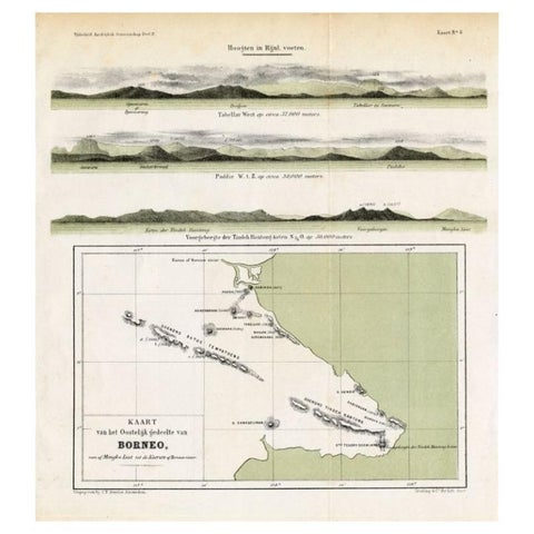
Maps and Sea Charts · Borneo
Antique Map of Eastern Borneo, Indonesia with Views of Mountain Ranges, c.1875
1875 · 24.5 × 27.5 cm€180
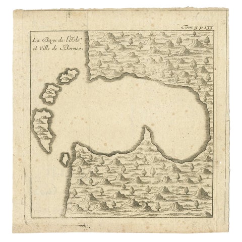
Maps and Sea Charts · Borneo
Antique Map of a Bay of Borneo, Indonesia, c.1760
1760 · 15.5 × 16 cm€140
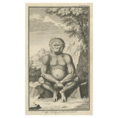
Flora and Fauna · Sumatra
Engraving of an Orang-Utan on Borneo 'Kalimantan' or Sumatra, Indonesia, 1739
1739 · 12 × 19.5 cm€140
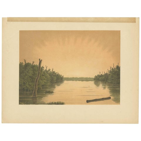
Towns and Landscapes · Borneo
Antique Print of the Paminger Lakes 'Borneo' by M.T.H. Perelaer, 1888
1888 · 31.5 × 24.2 cm€120