Every map and print
1,016 sheets
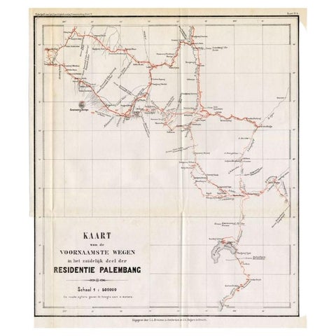
Maps and Sea Charts · Sumatra
Antique Map of the Main Roads of Palembang by Stemler, c.1875
1875 · 37 × 42.5 cm€75
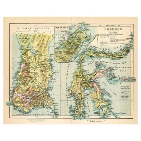
Maps and Sea Charts · Celebes
Antique Map of Sulawesi by Winkler Prins, c.1900
1900 · 31.5 × 25 cm€73
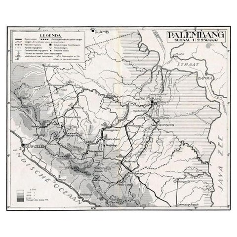
Maps and Sea Charts · Sumatra
Antique Map of the Palembang Area, c.1900
1900 · 31 × 24 cm€73
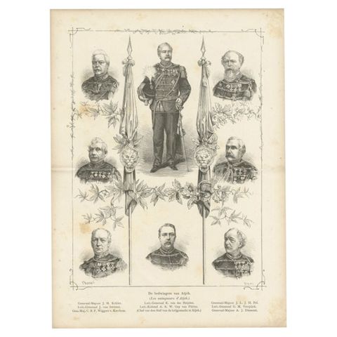
Peoples and Costume · Sumatra
Antique Print of Important Military of Aceh in Sumatra, Dutch East Indies, 1883
1883 · 21.5 × 29 cm€70
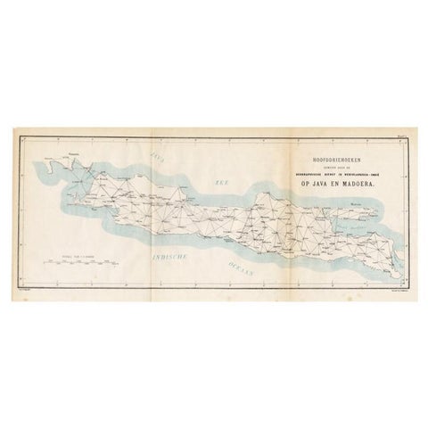
Maps and Sea Charts · Java
Old Map of Java, Indonesia by Stemler, 1875
1875 · 59 × 27.5 cm€70
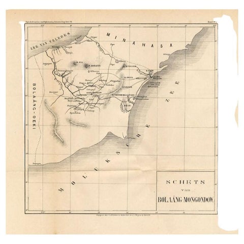
Maps and Sea Charts · Celebes
Antique Map of the Bolaang Mongondow District on Sulawesi by Stemler, c.1875
1875 · 39 × 38 cm€63
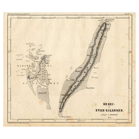
Maps and Sea Charts · Moluccas
Antique Map of the Kai Islands by Stemler, c.1875
1875 · 27.5 × 22 cm€63
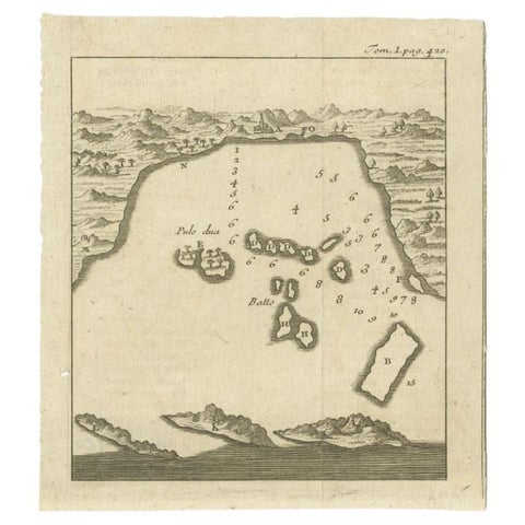
Maps and Sea Charts · Java
Antique Map of the Bay of Bantam, c.1720
1720 · 14.3 × 16 cm€60