Every map and print
53 sheets
Maps and Sea Charts · Sumatra
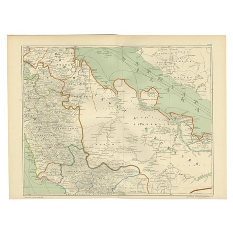
Antique Map of the East Coast of Sumatra , Indonesia, 1900
1900 · 51.5 × 38.9 cm€115
Maps and Sea Charts · Sumatra
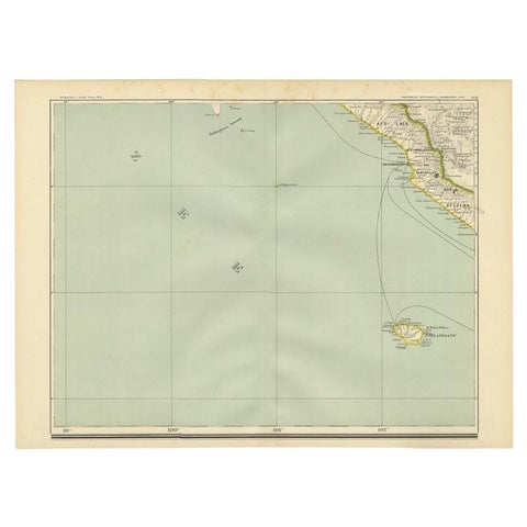
Antique Map of the Region of Bengkulu in Indonesia, 1900
1900 · 52.4 × 38.7 cm€93
Maps and Sea Charts · Sumatra
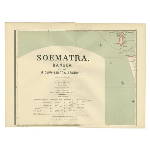
Antique Map of the Batu Islands by Dornseiffen, 1900
1900 · 52 × 38.9 cm€85
Maps and Sea Charts · Sumatra
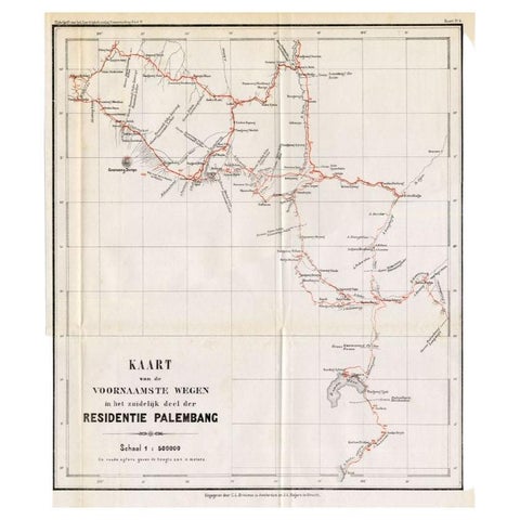
Antique Map of the Main Roads of Palembang by Stemler, c.1875
1875 · 37 × 42.5 cm€75
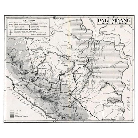
Maps and Sea Charts · Sumatra
Antique Map of the Palembang Area, c.1900
1900 · 31 × 24 cm€73