Search: New Guinea
14 sheets
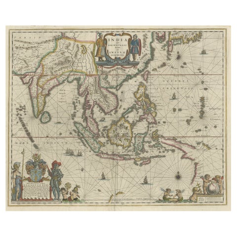
Maps and Sea Charts · New Guinea
Original Blaeu Map of Southeast Asia from India to Tibet and Japan to New Guinea
1635 · 60 × 49.5 cm$3,920
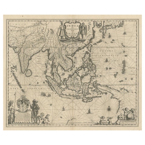
Maps and Sea Charts · New Guinea
Map of Southeast Asia, Extending from India to Tibet & Japan to New Guinea, 1640
1640 · 60 × 50.5 cm$2,965
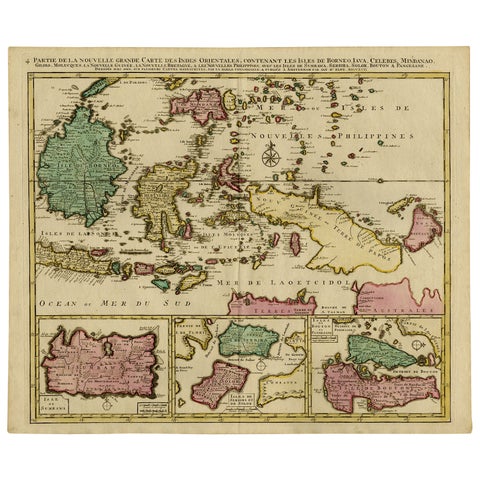
Maps and Sea Charts · Borneo
Old Map of Indonesian Islands Borneo, Celebes, New Guinea & New Britain, 1792
1792 · 66 × 55.3 cm$1,625
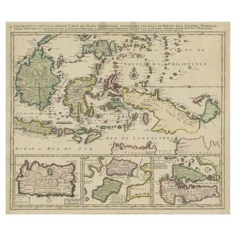
Maps and Sea Charts · Borneo
Old Map of the East Indonesian Islands Borneo, Celebes, New Guinea, Bali, 1792
1792 · 64.5 × 55 cm$1,400
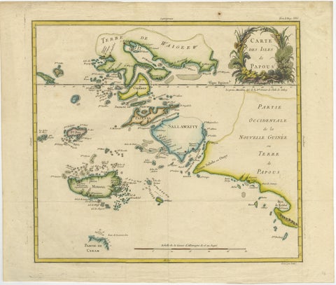
Maps and Sea Charts · New Guinea
Antique Map of Raja Ampat and New Guinea, Bellin, Papuan Islands c.1749
1749 · 44 × 36.5 cm$995
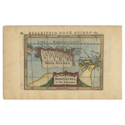
Maps and Sea Charts · New Guinea
Antique Miniature Map of New Guinea by Bertius, '1618'
1618 · 20 × 12.5 cm$730
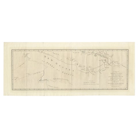
Maps and Sea Charts · New Guinea
Large Antique Map of New Guinea and New Britain Showing Capt. Cooks Tract, 1773
1773 · 29 × 71 cm$615
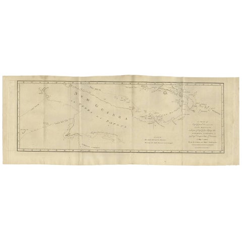
Maps and Sea Charts · New Guinea
Antique Map of New Guinea and New Britain by P. Carteret, circa 1773
1773 · 72.5 × 27 cm$615
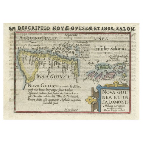
Maps and Sea Charts · New Guinea
Rare Original Miniature Map of Papua New Guinea and the Salomon Islands, 1600
1600 · 18 × 12 cm$605
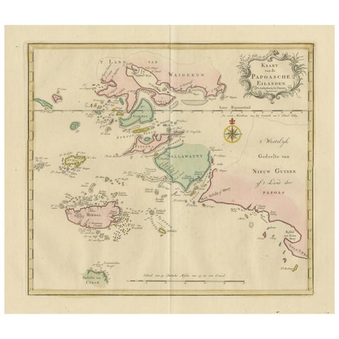
Maps and Sea Charts · Moluccas
Antique Map extending from the Spice Islands to the west of Papua New Guinea
Date not stated · 55 × 44 cm$550
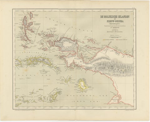
Maps and Sea Charts · Moluccas
Antique Colonial Dutch Map of the Moluccas & New Guinea by Dornseiffen, 1884
1884 · 48.5 × 39 cm$435
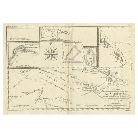
Maps and Sea Charts · New Guinea
Antique Detailed Map of Papua New Guinea and the Regions to the West, ca.1780
1780 · 38.7 × 29.1 cm$370
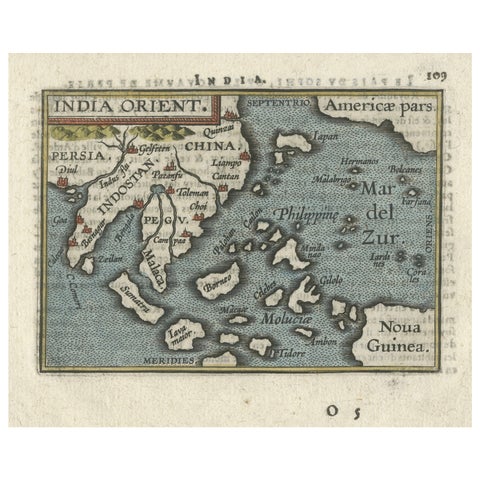
Maps and Sea Charts · New Guinea
1601 Miniature Map of Southeast Asia & Nova Guinea by Ortelius, Vrients Edition
1601 · 15.5 × 12 cm$605
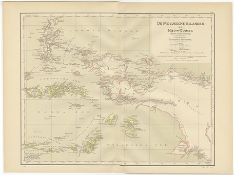
Maps and Sea Charts · Moluccas
Antique Map of the Moluccas and Irian Jaya (Papua), Indonesia, 1900
1900 · 52.2 × 38.9 cm$250