Collection
Maps and Sea Charts
Maps and charts of the archipelago from Münster's woodcut of Sumatra of about 1590 to the Dornseiffen atlas of 1884: Blaeu and Janssonius, Valentijn's island maps of 1726, Bellin and Mannevillette for the French navy, and the town plans of Batavia.
139 sheets
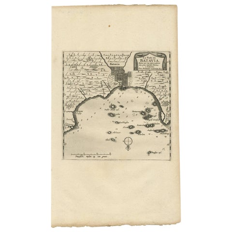
Maps and Sea Charts · Java
Antique Map of Batavia, Jakarta, Indonesia by P. Van Der Aa, 1719
1719 · 19 × 33 cm£305
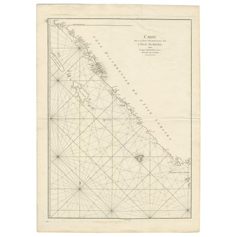
Maps and Sea Charts · Sumatra
Antique Coastal Map of Sumatra by De La Haye, circa 1780
1780 · 55.5 × 76.5 cm£305
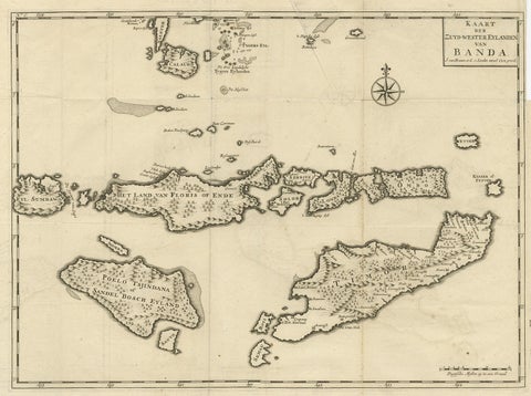
Maps and Sea Charts · Moluccas
Antique Map of the Banda Islands in Indonesia by Valentijn, 1726
1726 · 51.5 × 41.5 cm£305
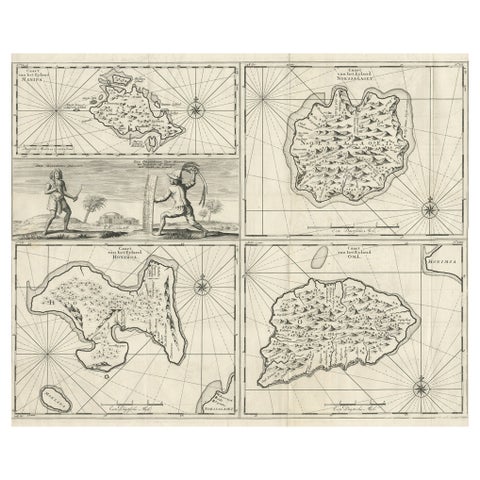
Maps and Sea Charts · Moluccas
Antique Maps of Manipa, Nusa-Laut, Saparua and Haruku in Maluku, Indonesia 1726
1726 · 55 × 65 cm£295
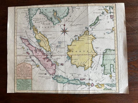
Maps and Sea Charts · Java
Original Map of the East Indies Including Sumatra, Java, Borneo & Malaysia, 1755
1755 · 33 × 24.5 cm£295
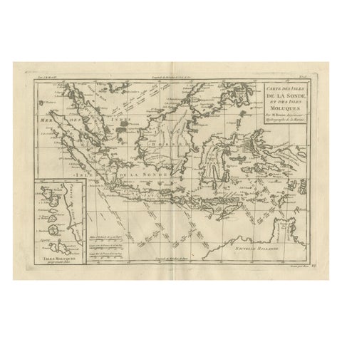
Maps and Sea Charts
Antique East Indies Map by Rigobert Bonne, Copper Engraving, 1780
1780 · 41 × 26 cm£295
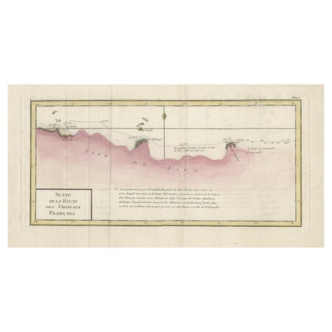
Maps and Sea Charts
Antique Map of the Routes of Jean-françois de Galaup to Asia, 1787
1787 · 45 × 29 cm£285
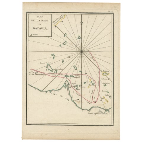
Maps and Sea Charts · Java
Interesting Map of the Thousand Islands in the Bay of Batavia 'Jakarta', ca.1740
1740 · 21 × 29 cm£285
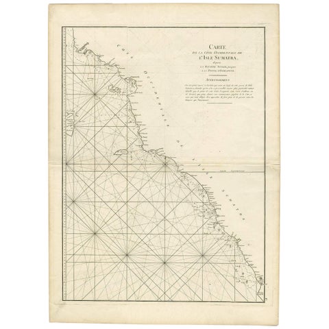
Maps and Sea Charts · Sumatra
1745 Antique Coastal Map of West Sumatra by J. Mannevillette
1745 · 55.5 × 77 cm£280
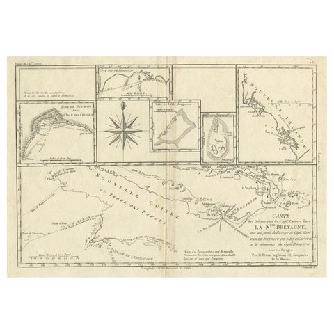
Maps and Sea Charts · New Guinea
Antique Detailed Map of Papua New Guinea and the Regions to the West, ca.1780
1780 · 38.7 × 29.1 cm£275
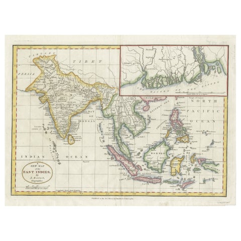
Maps and Sea Charts · Java
1782 Map of the East Indies, India, Siam, Philippines, Java, Borneo, Ganges
1782 · 34.5 × 26 cm£275
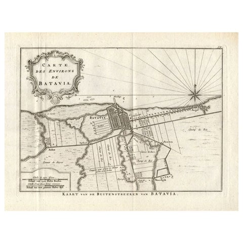
Maps and Sea Charts · Java
Antique Map of the Region of Batavia by Conrade, 1782
1782 · 44 × 27.5 cm£265
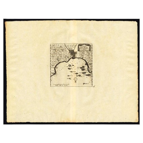
Maps and Sea Charts · Java
Antique Map of the Roadstead of Batavia by Van der Aa, 1725
1725 · 49 × 38 cm£260
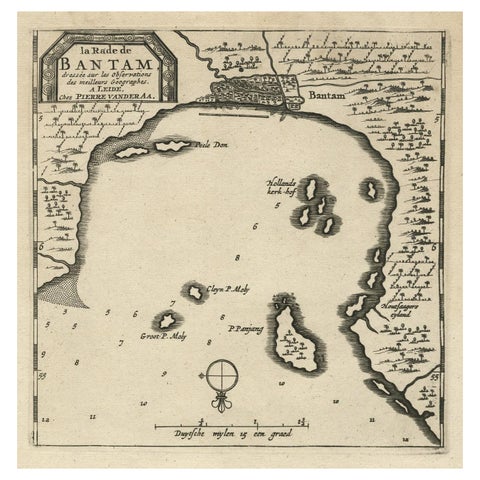
Maps and Sea Charts · Java
Antique Map of Banten Bay on Java Island, Indonesia, c.1720
1720 · 19.4 × 30.3 cm£230
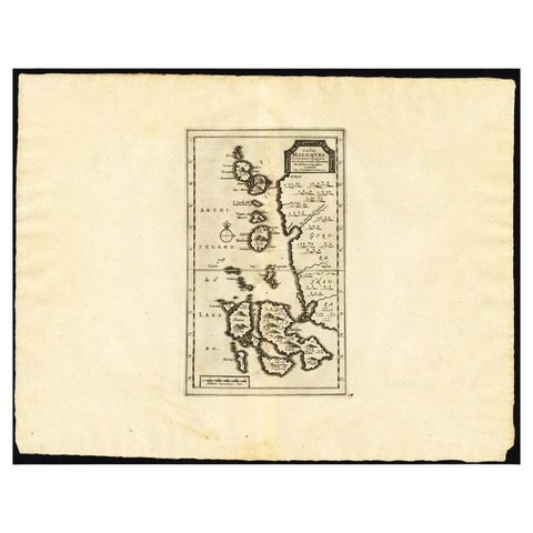
Maps and Sea Charts · Moluccas
Antique Map of the Maluku Islands by Van der Aa, 1725
1725 · 49 × 38 cm£220
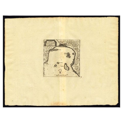
Maps and Sea Charts · Java
Antique Map of the Roadstead of Bantam by Van der Aa, 1725
1725 · 49 × 38 cm£220
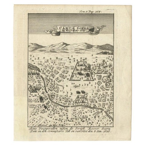
Maps and Sea Charts · Java
Antique Map of Carta Soura, Headquarter of the Javanese Nobility, 1706
1706 · 17 × 19.6 cm£210
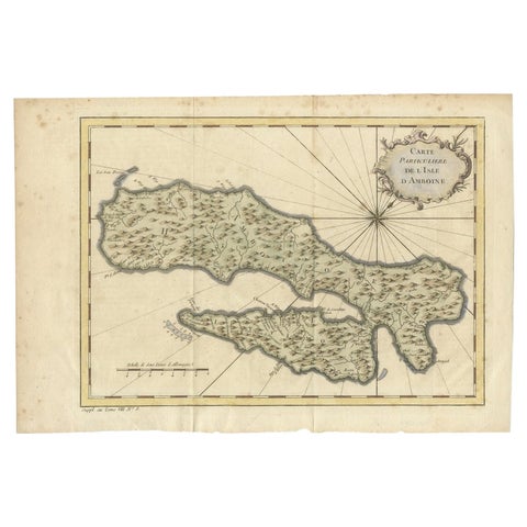
Maps and Sea Charts · Moluccas
Antique Map of Ambon Island in the Moluccas, Indonesia, c.1760
1760 · 36.5 × 25 cm£200
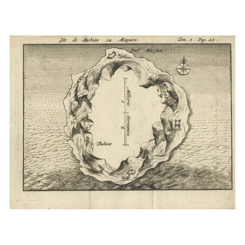
Maps and Sea Charts · Moluccas
Antique Map of Macjan or Makian Island in the Moluccas, Indonesia, c.1740
1740 · 16 × 21 cm£195
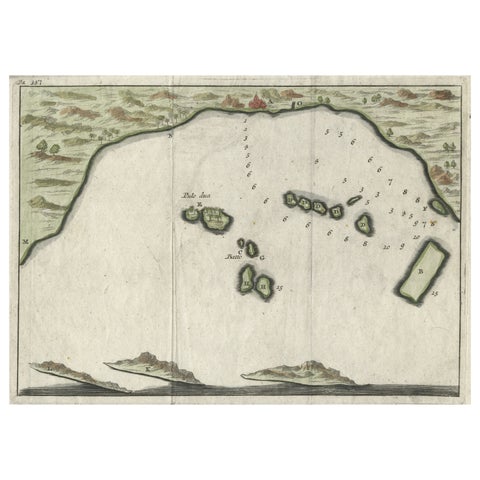
Maps and Sea Charts · Java
Small Early 18th Century Map of Banten Bay on the Island Java, Indonesia, c.1725
1725 · 21.8 × 16 cm£185
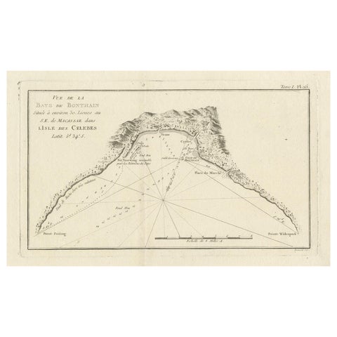
Maps and Sea Charts · Celebes
Antique Map of Bonthain Bay, Sulawesi, Celebes
circa 1774 · 38 × 27.3 cm£185
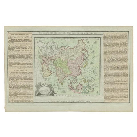
Maps and Sea Charts
Antique Map of Asia Showing all of Indonesia and the Marianas, 1790
1790 · 50.5 × 33.5 cm£180
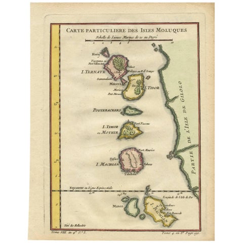
Maps and Sea Charts · Moluccas
Antique Map of the Moluques Islands, Part of Indonesia, circa 1750
1750 · 19.4 × 25.2 cm£175
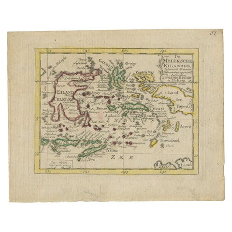
Maps and Sea Charts · Moluccas
Antique Miniature Map of the Maluku Islands by Van Esveldt & Holtrop 'c.1790'
1790 · 16 × 12.5 cm£165
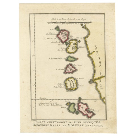
Maps and Sea Charts · Moluccas
Old Map of the Spice Islands, Moluccas by Bellin, Published in 1771
1771 · 19.6 × 26.3 cm£165
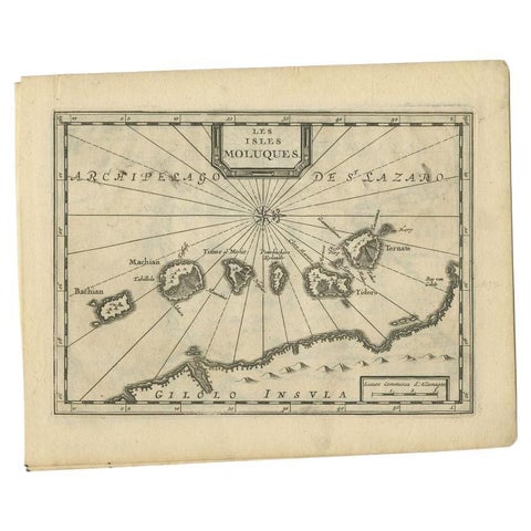
Maps and Sea Charts · Moluccas
Antique Map of the Maluku Islands by Van der Aa, 1714
1714 · 23.3 × 18.5 cm£165
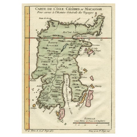
Maps and Sea Charts · Celebes
Antique Map of Celebes 'Sulawesi', Island in Indonesia, c.1750
1750 · 19 × 24.5 cm£150
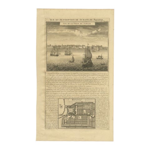
Maps and Sea Charts · Java
Antique Print of Surate and a Plan of Batavia in the Dutch East Indies, 1719
1719 · 26 × 44 cm£145
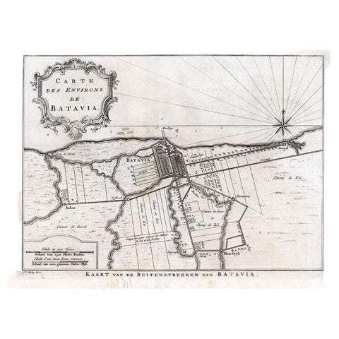
Maps and Sea Charts · Java
Antique Map of the Region of Batavia by Van Schley, c.1750
1750 · 33 × 27.5 cm£140
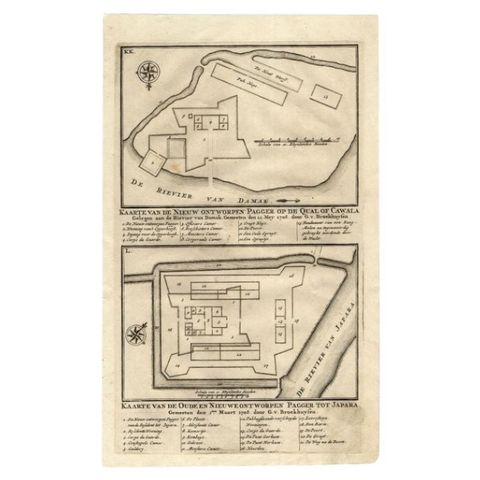
Maps and Sea Charts · Java
Antique Map of the Fortifications of Demak and Jepara by Valentijn, 1726
1726 · 20.4 × 33.4 cm£130
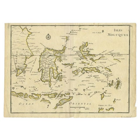
Maps and Sea Charts · Moluccas
Antique Map of the Maluku Islands by Le Rouge, c.1750
1750 · 30.2 × 21.8 cm£130
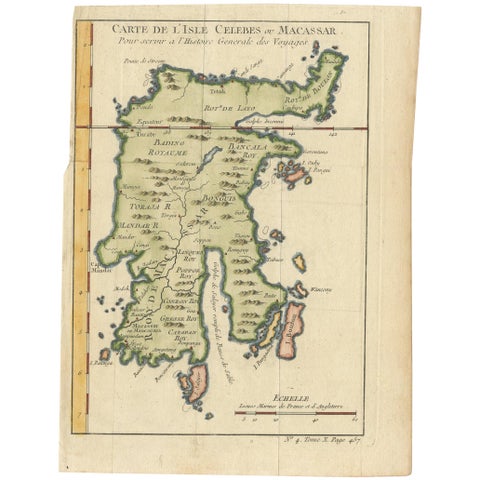
Maps and Sea Charts · Celebes
Antique Map of Celebes 'Sulawesi, Indonesia' by Bellin, ciarca 1755
1755 · 17.7 × 23.5 cm£125
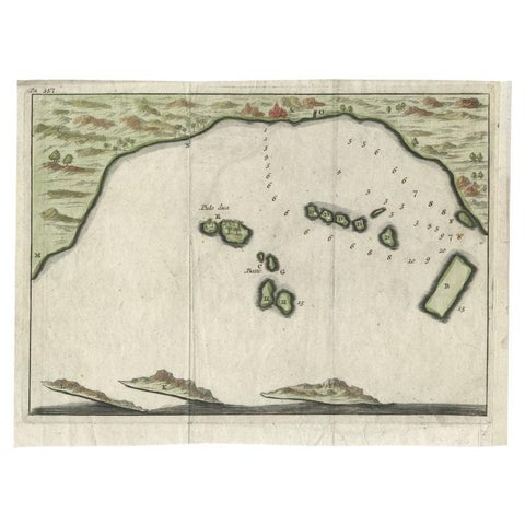
Maps and Sea Charts · Java
Antique Map of Banten Bay, Java, Indonesia, c.1725
1725 · 21.8 × 16 cm£125
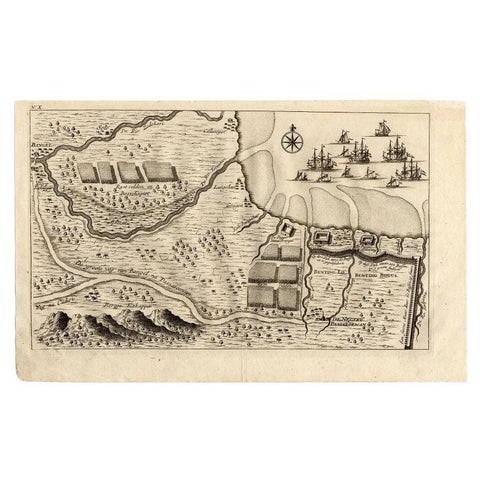
Maps and Sea Charts · Java
Antique Map of the Region of Pasuruan, Java, Indonesia, 1726
1726 · 33.2 × 20.6 cm£125
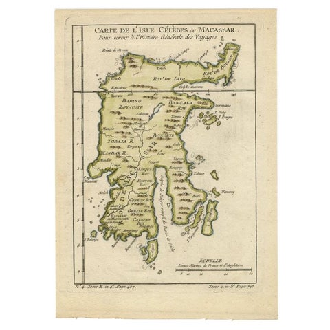
Maps and Sea Charts · Celebes
Antique Map of Celebes 'Sulawesi', Island in Indonesia, 1754
1754 · 17.8 × 24.8 cm£120
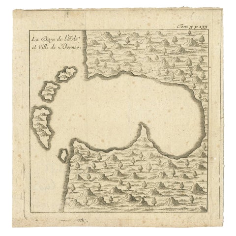
Maps and Sea Charts · Borneo
Antique Map of a Bay of Borneo, Indonesia, c.1760
1760 · 15.5 × 16 cm£115
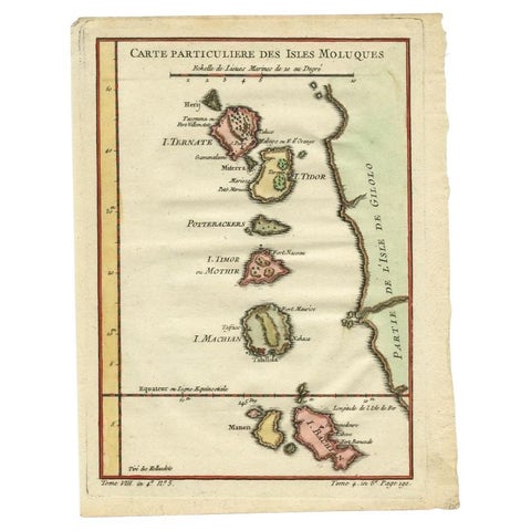
Maps and Sea Charts · Moluccas
Antique Map of the Maluku Islands by Bellin, c.1750
1750 · 18.5 × 24.5 cm£105
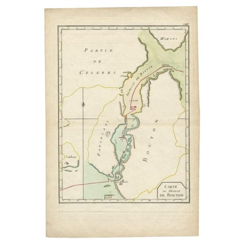
Maps and Sea Charts · Celebes
Antique Map of the Buton Strait by Philippe, 1787
1787 · 29 × 44 cm£100
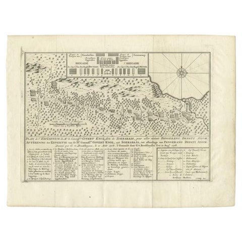
Maps and Sea Charts
Antique Map of the Expedition of Govert Knol by Van Schley, 1765
1765 · 36 × 27.5 cm£100
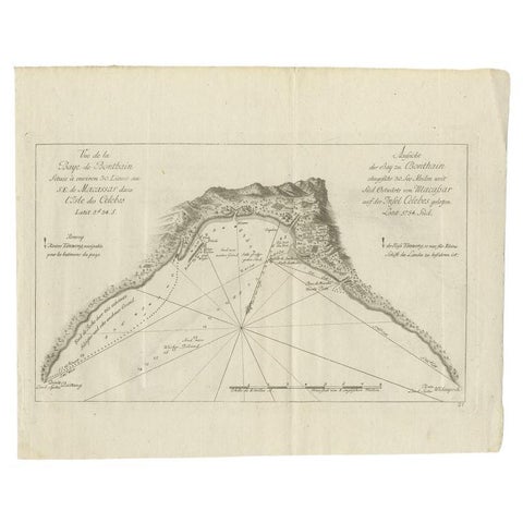
Maps and Sea Charts · Celebes
Antique Map of a Bay Nearby Makassar, Celebes 'Sulawesi)' by Hawkesworth, 1774
1774 · 32.5 × 26.5 cm£95
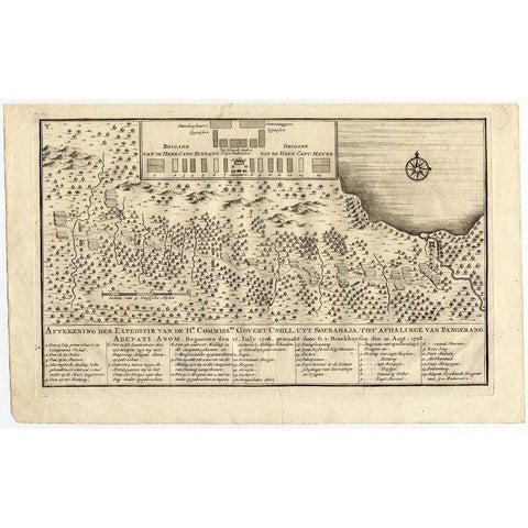
Maps and Sea Charts
Antique Map of the Expedition of Govert Knol by Valentijn, 1726
1726 · 33.8 × 20.8 cm£90
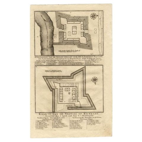
Maps and Sea Charts
Antique Map of the Fortress of Captain E. Bintang by Valentijn, 1726
1726 · 20.5 × 33.6 cm£80
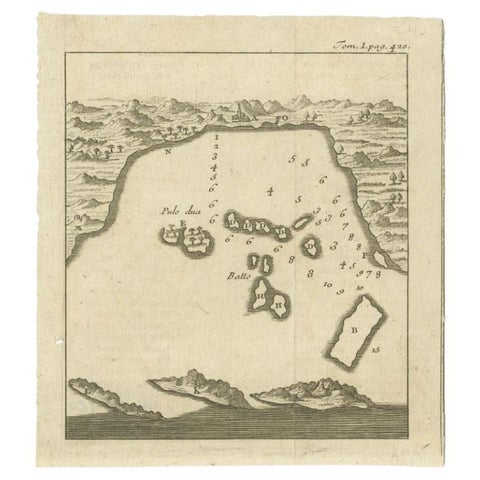
Maps and Sea Charts · Java
Antique Map of the Bay of Bantam, c.1720
1720 · 14.3 × 16 cm£50