Collection
Maps and Sea Charts
Maps and charts of the archipelago from Münster's woodcut of Sumatra of about 1590 to the Dornseiffen atlas of 1884: Blaeu and Janssonius, Valentijn's island maps of 1726, Bellin and Mannevillette for the French navy, and the town plans of Batavia.
10 sheets
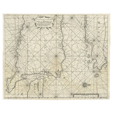
Maps and Sea Charts · Java
Rare Old English Sea Chart of Part of Indonesia with Java, Madura and Bali, 1711
1711 · 55.3 × 45 cm£1,380
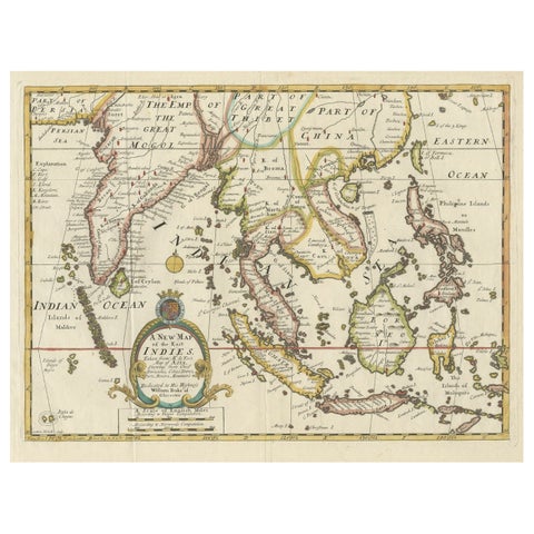
Maps and Sea Charts · Lesser Sunda
Old Map Covering All of Southeast Asia from Persia to the Timor Island, 1712
1712 · 57 × 44 cm£1,255
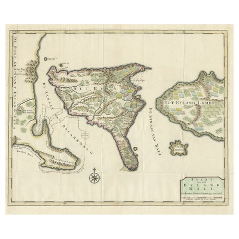
Maps and Sea Charts · Lesser Sunda
1726 Valentyn's Map of Bali and Lombok, Original Engraving
1726 · 62 × 55 cm£1,255
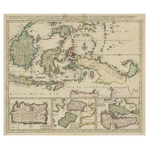
Maps and Sea Charts · Borneo
Old Map of the East Indonesian Islands Borneo, Celebes, New Guinea, Bali, 1792
1792 · 64.5 × 55 cm£1,045
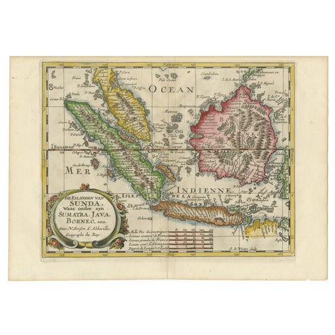
Maps and Sea Charts · Java
Antique Map of the Sunda Islands Including Sumatra, Java, and Borneo, 1705
1705 · 30.2 × 22 cm£720
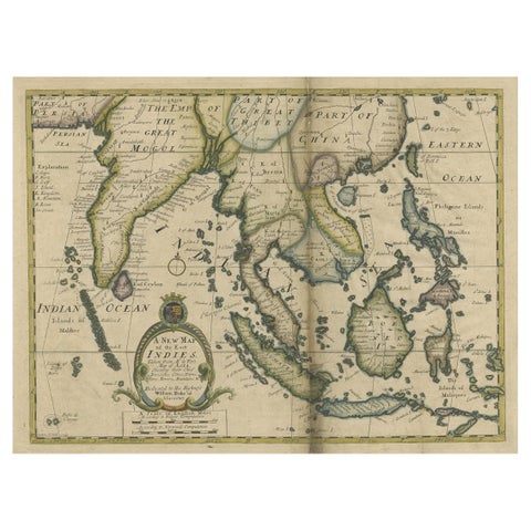
Maps and Sea Charts · Lesser Sunda
Antique Map of Southeast Asia from Persia to the Timor Island, 1712
1712 · 53.5 × 42 cm£660
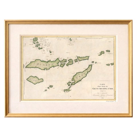
Maps and Sea Charts · Lesser Sunda
Antique Map of Flores, Timor and the Sunda Islands, French, c.1790
1790 · 56 × 32 cm£580
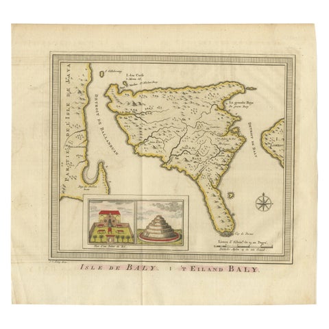
Maps and Sea Charts · Lesser Sunda
Anbtique Map of the Island of Bali by Van Schley '1755'
1755 · 28 × 25.5 cm£460
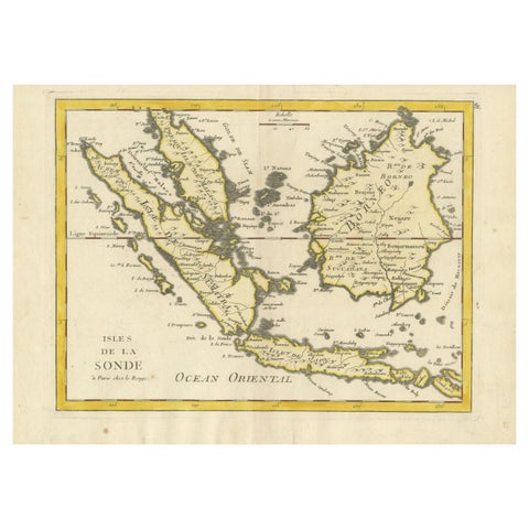
Maps and Sea Charts · Lesser Sunda
Old Original Antique Map of the Sunda Islands of Indonesia, 1756
1756 · 35 × 24.5 cm£460
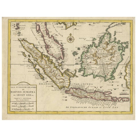
Maps and Sea Charts · Java
Antique Map of the Sunda Islands Sumatra, Java, Malay Peninsula & Borneo (1739)
1739 · 39.5 × 31 cm£450