Collection
Maps and Sea Charts
Maps and charts of the archipelago from Münster's woodcut of Sumatra of about 1590 to the Dornseiffen atlas of 1884: Blaeu and Janssonius, Valentijn's island maps of 1726, Bellin and Mannevillette for the French navy, and the town plans of Batavia.
301 sheets
Maps and Sea Charts
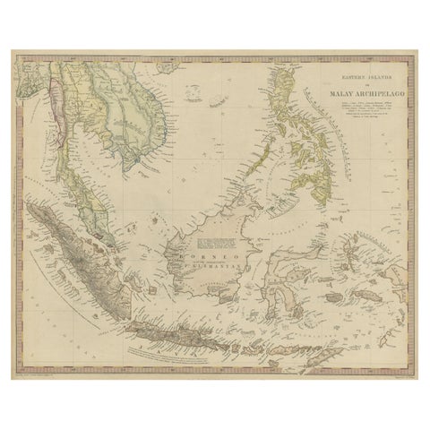
Original Antique Map of the Dutch East Indies, Nowadays Indonesia, ca.1840
1840 · 41 × 34.5 cm$270
Maps and Sea Charts · Sumatra
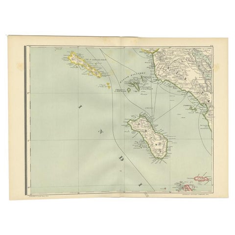
Antique Map of the Nias Archipelago, Sumatra, Indonsia, 1900
1900 · 52.6 × 38.9 cm$270
Maps and Sea Charts · Sumatra
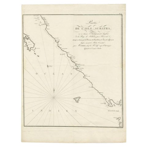
Antique Map of Sumatra by Tardieu, 1811
1811 · 40.5 × 53 cm$265
Maps and Sea Charts · Moluccas
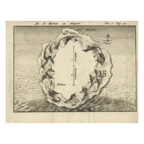
Antique Map of Macjan or Makian Island in the Moluccas, Indonesia, c.1740
1740 · 16 × 21 cm$255
Maps and Sea Charts · Moluccas
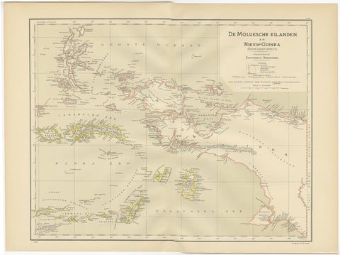
Antique Map of the Moluccas and Irian Jaya (Papua), Indonesia, 1900
1900 · 52.2 × 38.9 cm$250
Maps and Sea Charts · Java
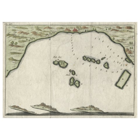
Small Early 18th Century Map of Banten Bay on the Island Java, Indonesia, c.1725
1725 · 21.8 × 16 cm$245
Maps and Sea Charts
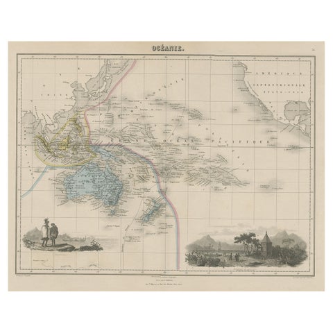
Old Map of the Oceans Around Australia, Indonesia and New Zealand, 1880
1880 · 47.5 × 34.5 cm$245
Maps and Sea Charts · Borneo
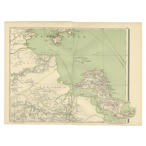
Antique Map of the Region of Banjarmasin, Indonesia 1900
1900 · 53.1 × 38.9 cm$245
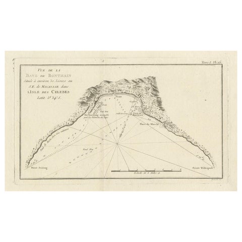
Maps and Sea Charts · Celebes
Antique Map of Bonthain Bay, Sulawesi, Celebes
circa 1774 · 38 × 27.3 cm$245
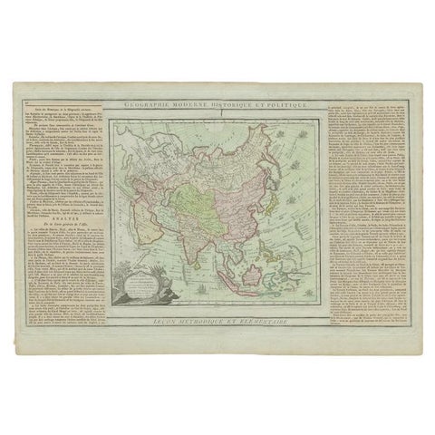
Maps and Sea Charts
Antique Map of Asia Showing all of Indonesia and the Marianas, 1790
1790 · 50.5 × 33.5 cm$245
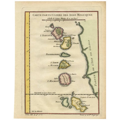
Maps and Sea Charts · Moluccas
Antique Map of the Moluques Islands, Part of Indonesia, circa 1750
1750 · 19.4 × 25.2 cm$235
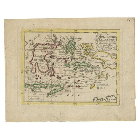
Maps and Sea Charts · Moluccas
Antique Miniature Map of the Maluku Islands by Van Esveldt & Holtrop 'c.1790'
1790 · 16 × 12.5 cm$225
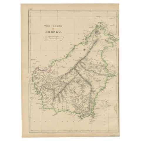
Maps and Sea Charts · Borneo
Antique Map of the Island of Borneo by W. G. Blackie, 1859
1859 · 27 × 37 cm$225
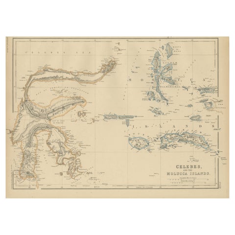
Maps and Sea Charts · Celebes
Antique Map of Celebes and the Maluku Islands by W. G. Blackie, 1859
1859 · 37 × 27 cm$225
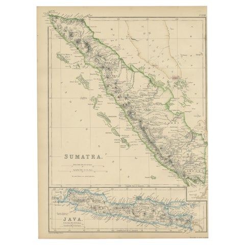
Maps and Sea Charts · Sumatra
Antique Map of Sumatra by W. G. Blackie, 1859
1859 · 27 × 37 cm$225
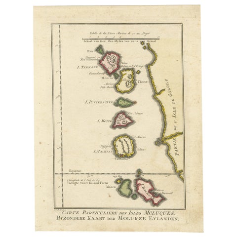
Maps and Sea Charts · Moluccas
Old Map of the Spice Islands, Moluccas by Bellin, Published in 1771
1771 · 19.6 × 26.3 cm$225
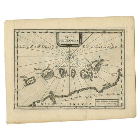
Maps and Sea Charts · Moluccas
Antique Map of the Maluku Islands by Van der Aa, 1714
1714 · 23.3 × 18.5 cm$225
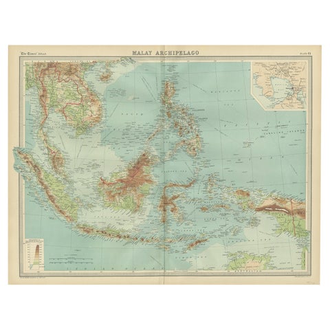
Maps and Sea Charts · Borneo
Old Map of South East Asia Showing the Malay Archipelago, incl Borneo etc, 1922
1922 · 59 × 45.5 cm$215
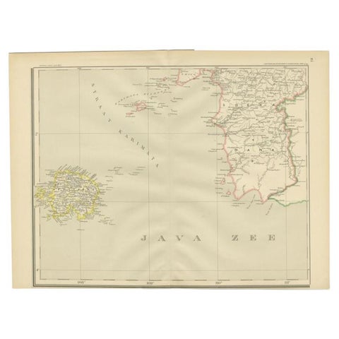
Maps and Sea Charts · Java
Antique Map of the Java Sea by Dornseiffen, 1900
1900 · 52.4 × 38.6 cm$215
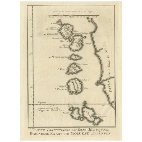
Maps and Sea Charts · Moluccas
Original Antique Map of the Maluku Islands or Moluccas
Date not stated · 19.2 × 25.5 cm$215
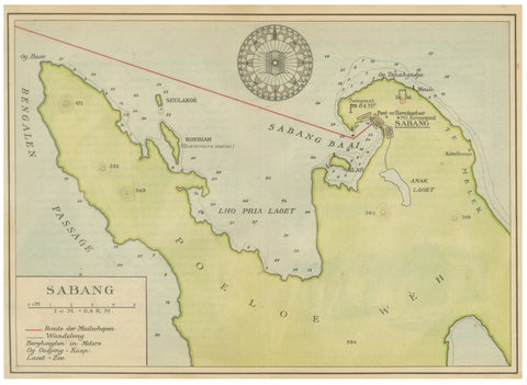
Maps and Sea Charts · Sumatra
Sabang Bay & Pulau Weh, Antique Dutch Colonial Map of Sumatra, Indonesia, 1910
1910 · 24.7 × 17.9 cm$215
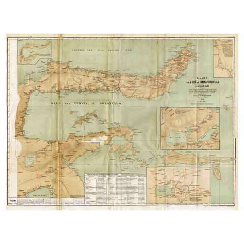
Maps and Sea Charts · Celebes
Antique Map of the Gulf of Tomini by Winkler Prins, 1878
1878 · 92 × 75 cm$205
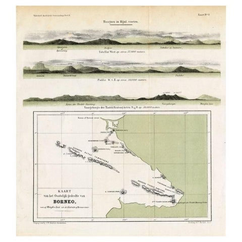
Maps and Sea Charts · Borneo
Antique Map of Eastern Borneo, Indonesia with Views of Mountain Ranges, c.1875
1875 · 24.5 × 27.5 cm$200
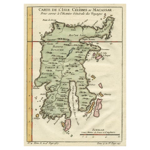
Maps and Sea Charts · Celebes
Antique Map of Celebes 'Sulawesi', Island in Indonesia, c.1750
1750 · 19 × 24.5 cm$200
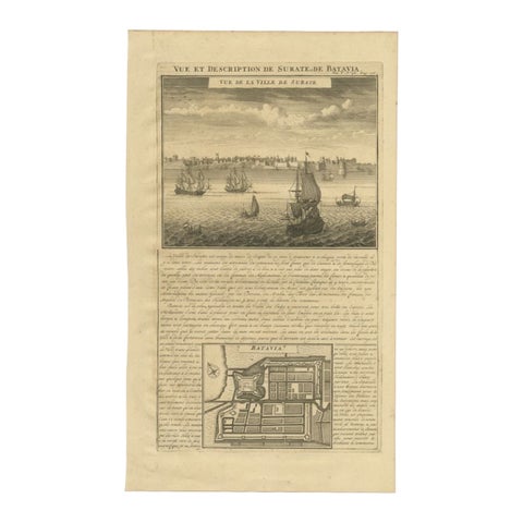
Maps and Sea Charts · Java
Antique Print of Surate and a Plan of Batavia in the Dutch East Indies, 1719
1719 · 26 × 44 cm$195
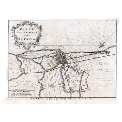
Maps and Sea Charts · Java
Antique Map of the Region of Batavia by Van Schley, c.1750
1750 · 33 × 27.5 cm$190
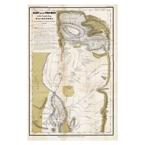
Maps and Sea Charts · Sumatra
Scarce Antique Map of Lake Toba and Silindoeng on Sumatra, Indonesia, c.1875
1875 · 80 × 50 cm$185
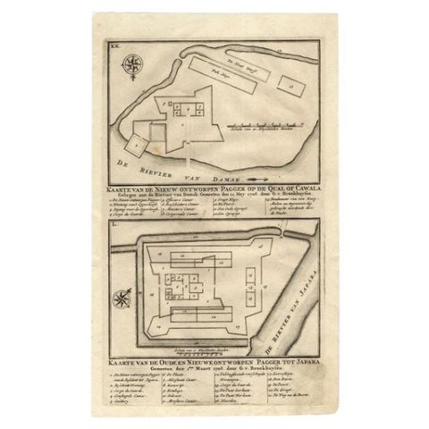
Maps and Sea Charts · Java
Antique Map of the Fortifications of Demak and Jepara by Valentijn, 1726
1726 · 20.4 × 33.4 cm$175
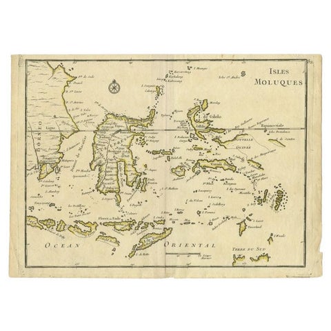
Maps and Sea Charts · Moluccas
Antique Map of the Maluku Islands by Le Rouge, c.1750
1750 · 30.2 × 21.8 cm$175
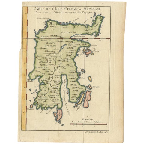
Maps and Sea Charts · Celebes
Antique Map of Celebes 'Sulawesi, Indonesia' by Bellin, ciarca 1755
1755 · 17.7 × 23.5 cm$170
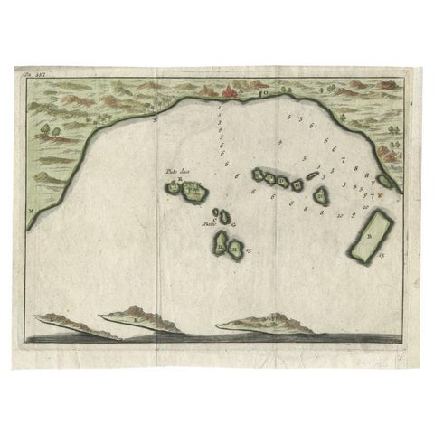
Maps and Sea Charts · Java
Antique Map of Banten Bay, Java, Indonesia, c.1725
1725 · 21.8 × 16 cm$170
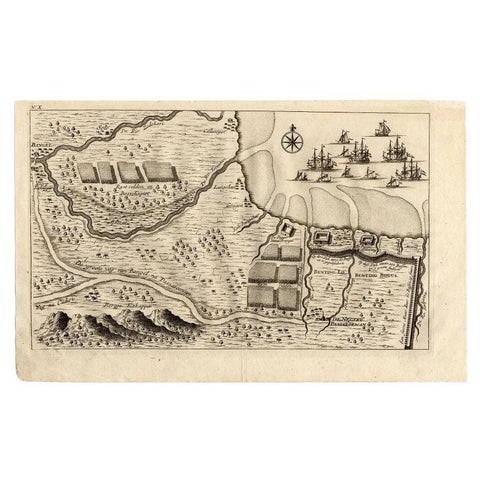
Maps and Sea Charts · Java
Antique Map of the Region of Pasuruan, Java, Indonesia, 1726
1726 · 33.2 × 20.6 cm$170
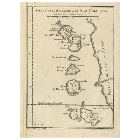
Maps and Sea Charts · Moluccas
Antique Map of the Maluku Islands or Moluccas, Indonesia
Date not stated · 18.2 × 25.6 cm$170
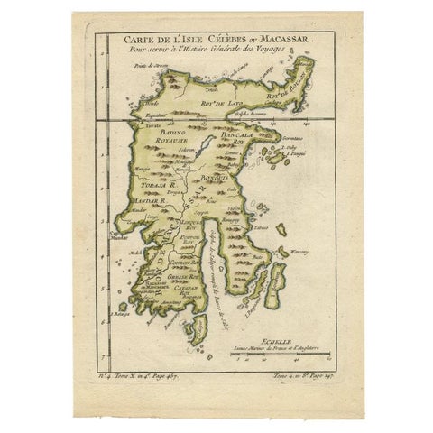
Maps and Sea Charts · Celebes
Antique Map of Celebes 'Sulawesi', Island in Indonesia, 1754
1754 · 17.8 × 24.8 cm$160
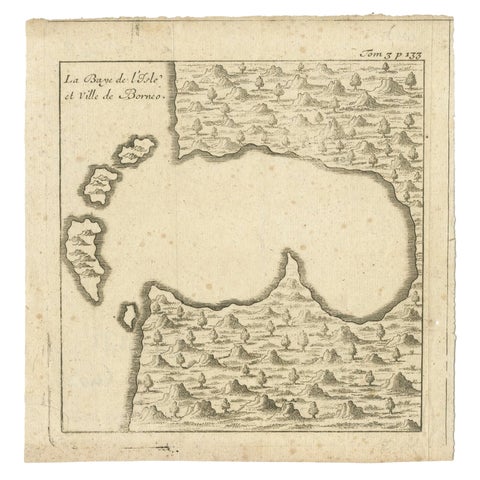
Maps and Sea Charts · Borneo
Antique Map of a Bay of Borneo, Indonesia, c.1760
1760 · 15.5 × 16 cm$155
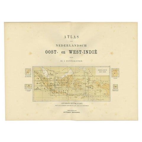
Maps and Sea Charts
Antique Map of the East Indies by Dornseiffen, 1900
1900 · 52.4 × 38.7 cm$155
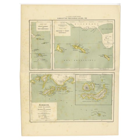
Maps and Sea Charts · Moluccas
Antique Map of the West Indies and Ambon in Indonesia, 1900
1900 · 38.7 × 51.9 cm$155
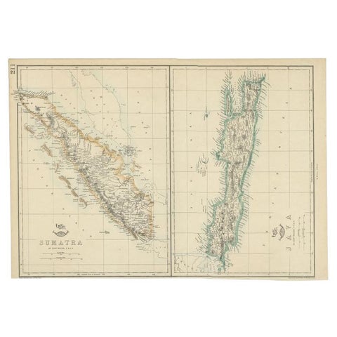
Maps and Sea Charts · Java
Antique Map of Sumatra and Java by Weller, c.1860
1860 · 47 × 32.5 cm$150
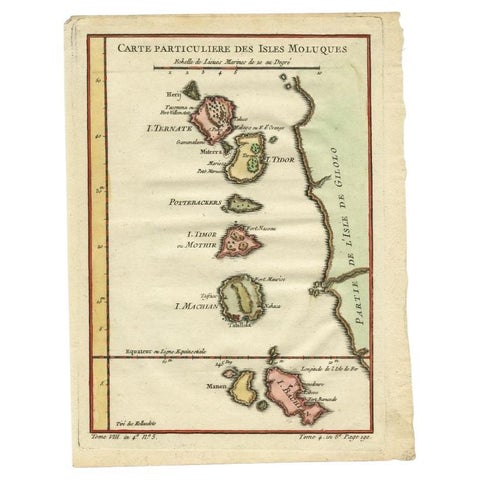
Maps and Sea Charts · Moluccas
Antique Map of the Maluku Islands by Bellin, c.1750
1750 · 18.5 × 24.5 cm$140
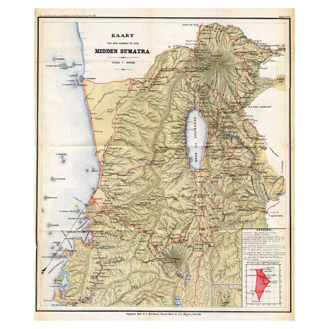
Maps and Sea Charts · Sumatra
Antique Map of Part of Sumatra by Stemler, c.1875
1875 · 45 × 56 cm$140
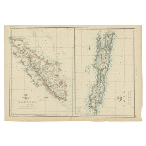
Maps and Sea Charts · Java
Antique Map of Sumatra and Java by Weller, c.1860
1860 · 48.5 × 34 cm$140
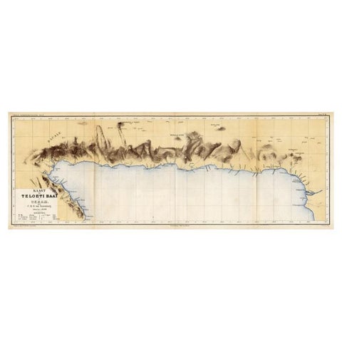
Maps and Sea Charts · Moluccas
Antique Map of Taluti Bay by Stemler, C.1875
1875 · 76 × 27.5 cm$140
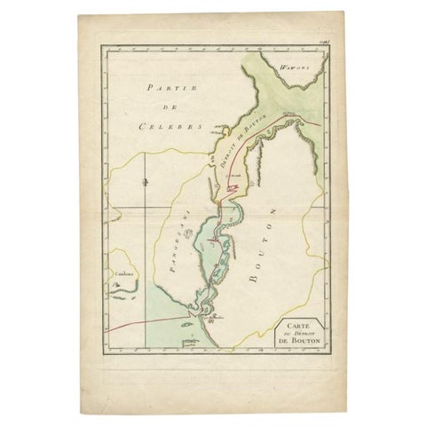
Maps and Sea Charts · Celebes
Antique Map of the Buton Strait by Philippe, 1787
1787 · 29 × 44 cm$135
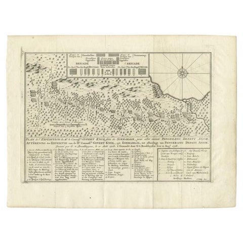
Maps and Sea Charts
Antique Map of the Expedition of Govert Knol by Van Schley, 1765
1765 · 36 × 27.5 cm$135
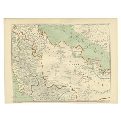
Maps and Sea Charts · Sumatra
Antique Map of the East Coast of Sumatra , Indonesia, 1900
1900 · 51.5 × 38.9 cm$130
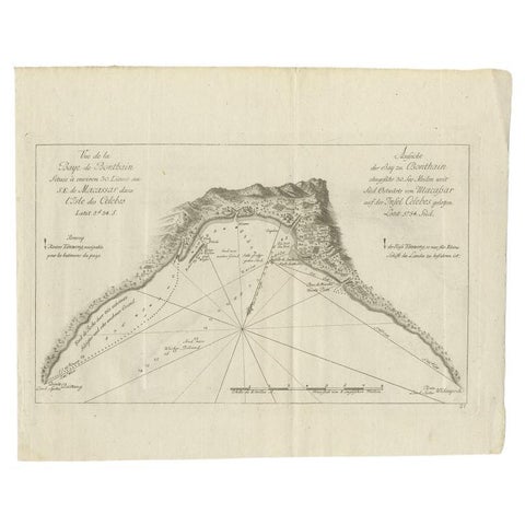
Maps and Sea Charts · Celebes
Antique Map of a Bay Nearby Makassar, Celebes 'Sulawesi)' by Hawkesworth, 1774
1774 · 32.5 × 26.5 cm$130
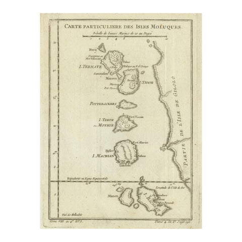
Maps and Sea Charts · Moluccas
Antique Map of the Moluccas (Maluku Islands), Indonesia, Bellin, 18th Century
Date not stated · 17.9 × 24.6 cm$125
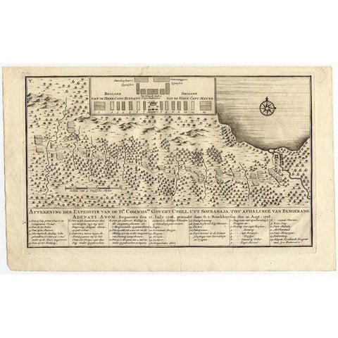
Maps and Sea Charts
Antique Map of the Expedition of Govert Knol by Valentijn, 1726
1726 · 33.8 × 20.8 cm$120