Search: Moluccas
43 sheets
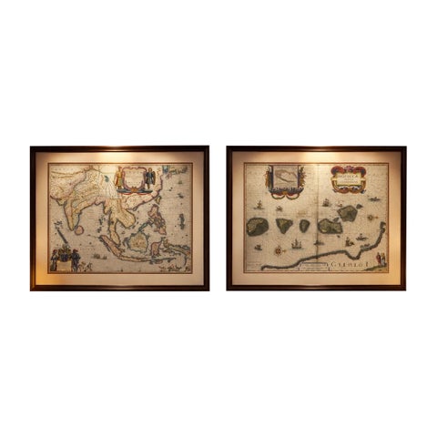
Maps and Sea Charts · Moluccas
Antique Blaeu Maps, Indonesia & Moluccas, VOC Era, c.1642
1642 · 59 × 50 cm€9,800
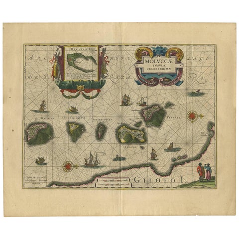
Maps and Sea Charts · Moluccas
Antique Map of the Spice Islands 'Moluccas', Indonesia by W. Blaeu, circa 1640
1640 · 58.5 × 50 cm€1,400
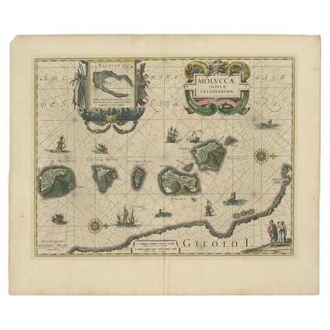
Maps and Sea Charts · Moluccas
Antique Map of the Maluku Islands by Blaeu, c.1640
1640 · 57.5 × 29 cm€1,169
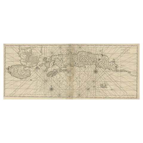
Maps and Sea Charts · Moluccas
Antique Map of the Moluccas or the Famed Spice Islands of Indonesia, 1724
1724 · 81.5 × 35 cm€890
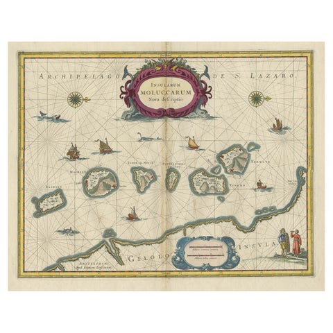
Maps and Sea Charts · Moluccas
Beautiful Antique Map of the Moluccas or Spice Islands, Indonesia, ca.1650
1650 · 57.5 × 53 cm€740
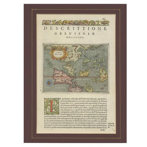
Maps and Sea Charts · Moluccas
Antique Map of the Moluccas by Porcacchi, circa 1620
1620 · 27 × 37 cm€720
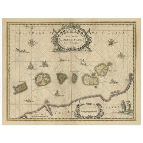
Maps and Sea Charts · Moluccas
Old Map of the Moluccas, Known as the Famous Spice Islands, Indonesia, ca.1730
1730 · 58.4 × 44 cm€690
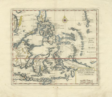
Maps and Sea Charts · Celebes
Antique Map Philippines, Moluccas, Celebes, Spice Islands, Tirion, c.1738
1738 · 48.7 × 37.6 cm€690
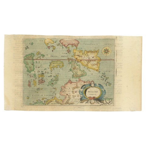
Maps and Sea Charts · Moluccas
Antique Miniature Map of the Maluku Islands by Lasor a Varea, 1713
1713 · 21.8 × 12 cm€600
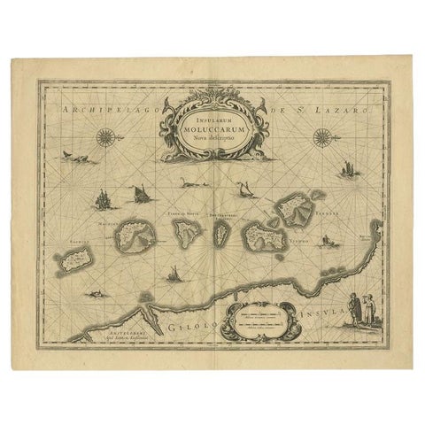
Maps and Sea Charts · Moluccas
Antique Map of the Moluccas in Indonesia by Janssonius, C.1650
1650 · 56.5 × 44.3 cm€481
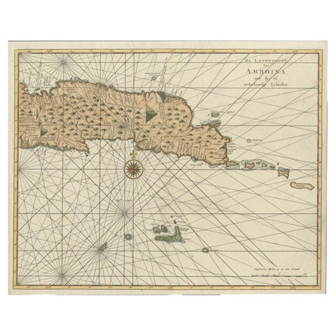
Maps and Sea Charts · Moluccas
Antique Map of Eastern Seram, Part of the Maluku Island in East Indonesia, 1726
1726 · 38.9 × 31 cm€450
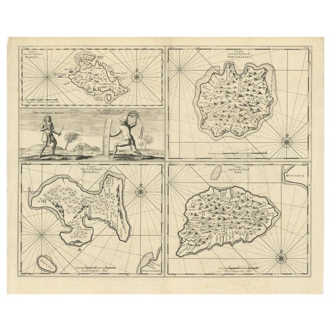
Maps and Sea Charts · Moluccas
Antique Map of Manipa and Other Maluku Islands, Indonesia, 1726
1726 · 52.5 × 61 cm€450
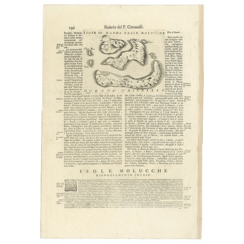
Maps and Sea Charts · Moluccas
Antique Map of the Banda Islands or Spice Islands, Moluccas, Indonesia, 1697
1697 · 33 × 48 cm€450
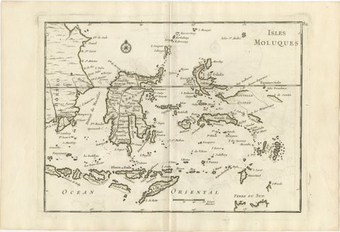
Maps and Sea Charts · Celebes
Antique Map of the Moluccas & Celebes, Le Rouge, French Engraving c.1750
1750 · 35.7 × 24.4 cm€395
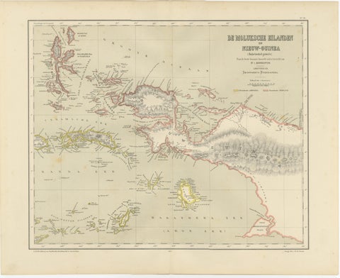
Maps and Sea Charts · Moluccas
Antique Colonial Dutch Map of the Moluccas & New Guinea by Dornseiffen, 1884
1884 · 48.5 × 39 cm€390
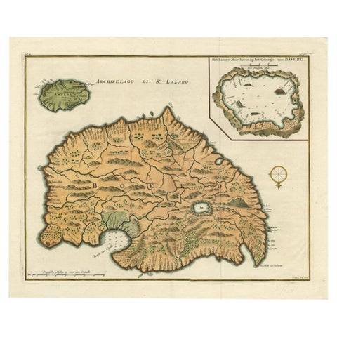
Maps and Sea Charts · Moluccas
Antique Map of Ambelau and Buru Island, Maluku or Moluccas in Indonesia, 1726
1726 · 42.7 × 34.8 cm€370
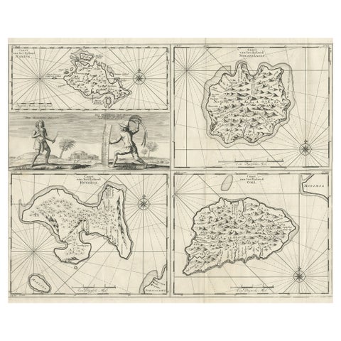
Maps and Sea Charts · Moluccas
Antique Maps of Manipa, Nusa-Laut, Saparua and Haruku in Maluku, Indonesia 1726
1726 · 55 × 65 cm€350
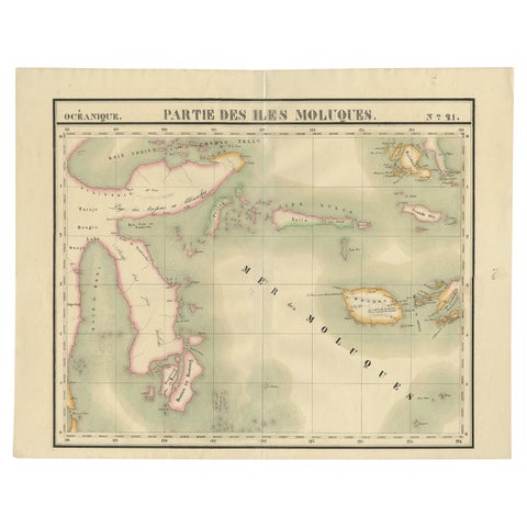
Maps and Sea Charts · Celebes
Old Map of the Moluccas and Part of Sulawesi Indonesia by Vandermaelen, c 1825
1825 · 67 × 53 cm€338
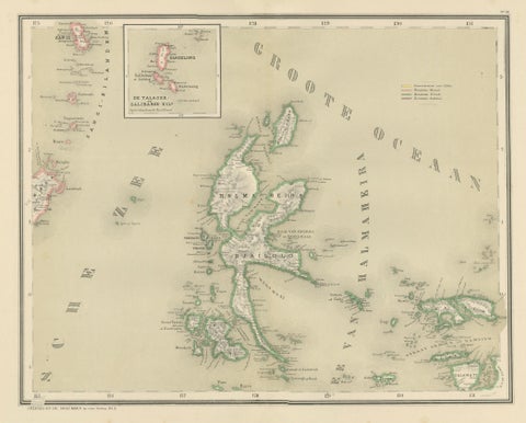
Maps and Sea Charts · Moluccas
Antique Map of Halmahera, Ternate, Tidore, Moluccas by Dornseiffen, 1884
1884 · 39 × 48.5 cm€290
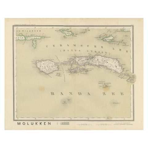
Maps and Sea Charts · Moluccas
Antique Map of Ceram, Ambon, Banda, Buru, Moluccas by Dornseiffen, 1884
1884 · 39 × 48.5 cm€290
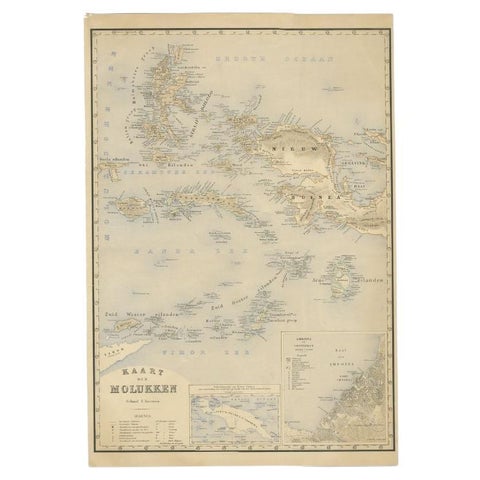
Maps and Sea Charts · Moluccas
Antique Map of the Moluccas by Stemfoort, 1885
1885 · 48 × 61.5 cm€265
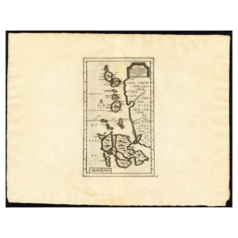
Maps and Sea Charts · Moluccas
Antique Map of the Maluku Islands by Van der Aa, 1725
1725 · 49 × 38 cm€263
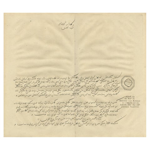
The Company · Moluccas
Antique Engraving of a Letter Written by the King of Batjan, Moluccas, 1726
1726 · 40 × 34 cm€260
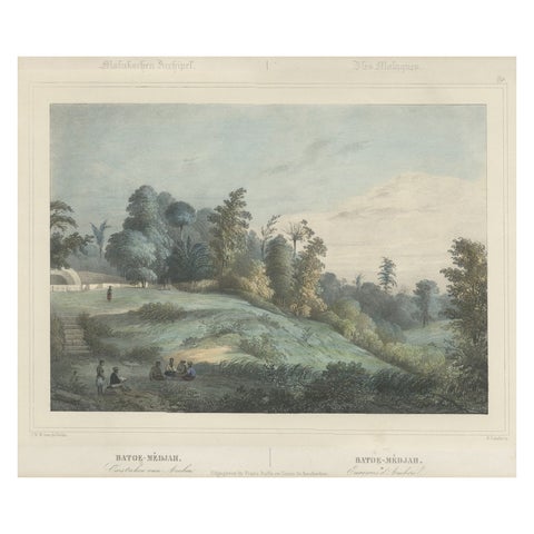
Towns and Landscapes · Moluccas
Antique Print of Batu Meja in the Moluccas, Indonesia, c.1845
1845 · 45 × 39.5 cm€260
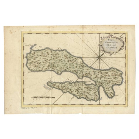
Maps and Sea Charts · Moluccas
Antique Map of Ambon Island in the Moluccas, Indonesia, c.1760
1760 · 36.5 × 25 cm€240
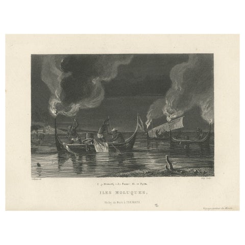
Towns and Landscapes · Moluccas
Antique Print of Night Fishing Near Ternate, Indonesia, Maluku Islands
circa 1850 · 24.3 × 15.7 cm€240
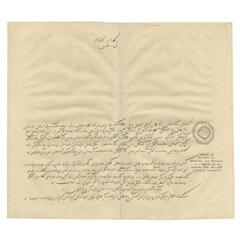
The Company · Moluccas
Engraving of a Letter Written by the King of Batsjan, Moluccas, Valentijn, 1726
1726 · 40 × 34 cm€230
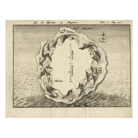
Maps and Sea Charts · Moluccas
Antique Map of Macjan or Makian Island in the Moluccas, Indonesia, c.1740
1740 · 16 × 21 cm€230
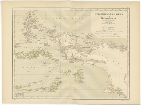
Maps and Sea Charts · Moluccas
Antique Map of the Moluccas and Irian Jaya (Papua), Indonesia, 1900
1900 · 52.2 × 38.9 cm€224
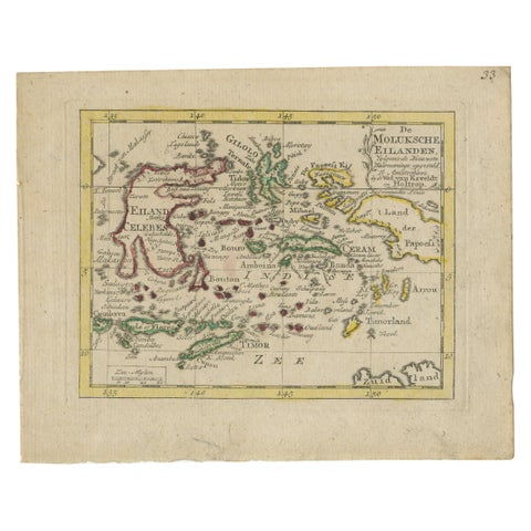
Maps and Sea Charts · Moluccas
Antique Miniature Map of the Maluku Islands by Van Esveldt & Holtrop 'c.1790'
1790 · 16 × 12.5 cm€200
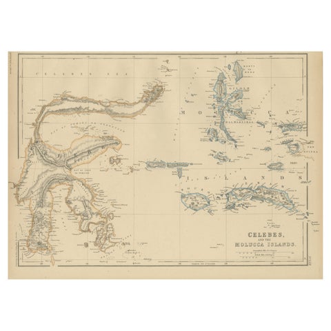
Maps and Sea Charts · Celebes
Antique Map of Celebes and the Maluku Islands by W. G. Blackie, 1859
1859 · 37 × 27 cm€200
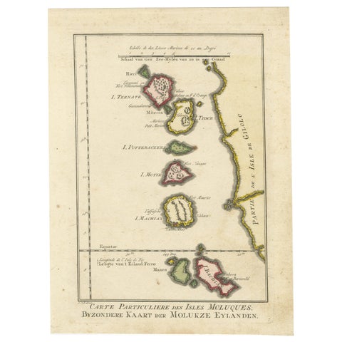
Maps and Sea Charts · Moluccas
Old Map of the Spice Islands, Moluccas by Bellin, Published in 1771
1771 · 19.6 × 26.3 cm€200
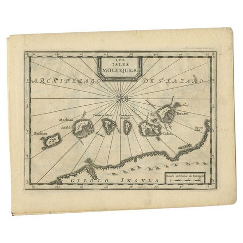
Maps and Sea Charts · Moluccas
Antique Map of the Maluku Islands by Van der Aa, 1714
1714 · 23.3 × 18.5 cm€199
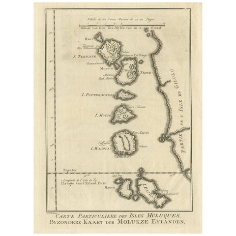
Maps and Sea Charts · Moluccas
Original Antique Map of the Maluku Islands or Moluccas
Date not stated · 19.2 × 25.5 cm€190
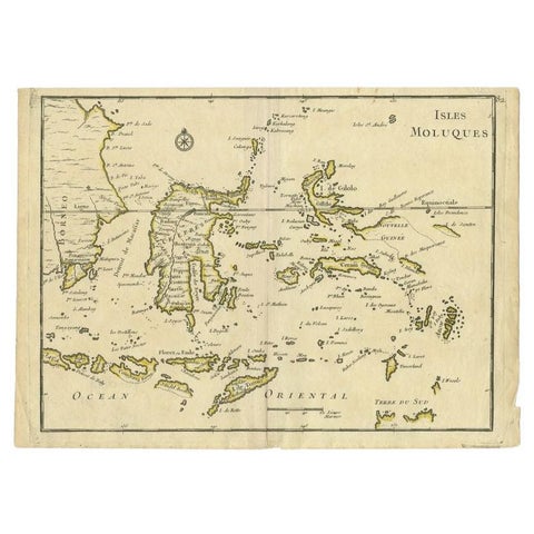
Maps and Sea Charts · Moluccas
Antique Map of the Maluku Islands by Le Rouge, c.1750
1750 · 30.2 × 21.8 cm€158
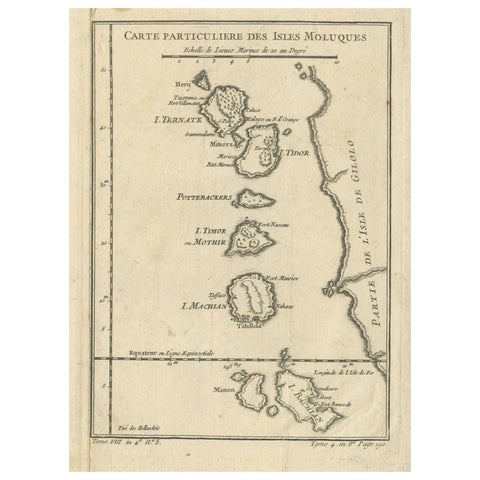
Maps and Sea Charts · Moluccas
Antique Map of the Maluku Islands or Moluccas, Indonesia
Date not stated · 18.2 × 25.6 cm€150
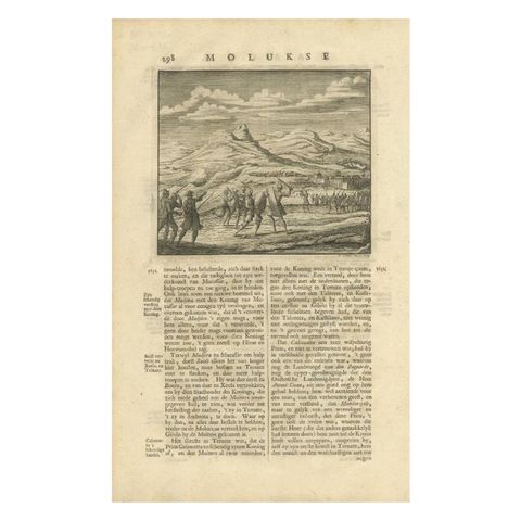
The Company · Moluccas
Antique Print of a Battle Scene at the Moluccas, Indonesia, 1726
1726 · 21 × 34 cm€140
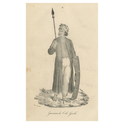
Peoples and Costume · Moluccas
Antique Print of a Warrior from the Island of Guebe, Maluku Islands
Date not stated · 16.5 × 26.2 cm€130
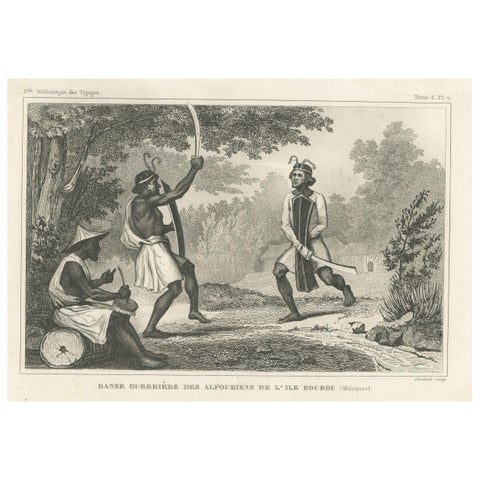
Peoples and Costume · Moluccas
Antique Print of Dancing Warriors on Buru Island, Maluku
Date not stated · 21.2 × 12.8 cm€130
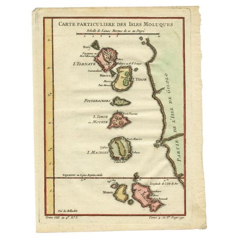
Maps and Sea Charts · Moluccas
Antique Map of the Maluku Islands by Bellin, c.1750
1750 · 18.5 × 24.5 cm€125
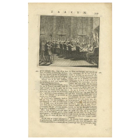
The Company · Moluccas
Antique Print of a Dinner in the Moluccas by Valentijn, 1726
1726 · 21 × 34 cm€125
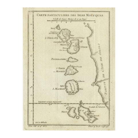
Maps and Sea Charts · Moluccas
Antique Map of the Moluccas (Maluku Islands), Indonesia, Bellin, 18th Century
Date not stated · 17.9 × 24.6 cm€110
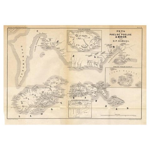
Maps and Sea Charts · Moluccas
Antique Map of the Maluku Islands 'Ambon' by Stemler, 1874
1874 · 46.5 × 32 cm€100