Search: Boero
6 sheets
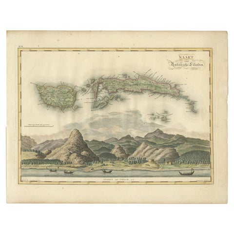
Maps and Sea Charts · Moluccas
Antique Map of Seram, Boero and the Banda Islands by Van den Bosch '1818'
1818 · 58 × 46 cm$1,205
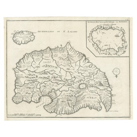
Maps and Sea Charts · Moluccas
Antique Map of Buru Island, Indonesia, c.1725
1725 · 40 × 32 cm$615
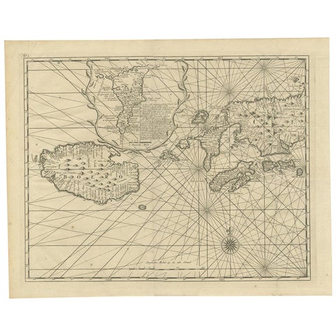
Maps and Sea Charts · Moluccas
Antique Map of Ambon and Boero by Valentijn, 1726
1726 · 42.5 × 34 cm$560
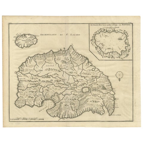
Maps and Sea Charts · Moluccas
Antique Map of Boero in Indonesia by Valentijn, 1726
1726 · 42 × 34 cm$560
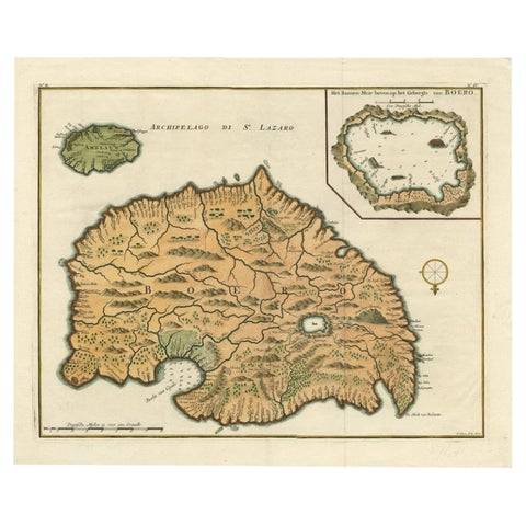
Maps and Sea Charts · Moluccas
Antique Map of Ambelau and Buru Island, Maluku or Moluccas in Indonesia, 1726
1726 · 42.7 × 34.8 cm$415
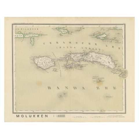
Maps and Sea Charts · Moluccas
Antique Map of Ceram, Ambon, Banda, Buru, Moluccas by Dornseiffen, 1884
1884 · 39 × 48.5 cm$325