Every map and print
301 sheets
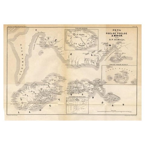
Maps and Sea Charts · Moluccas
Antique Map of the Maluku Islands 'Ambon' by Stemler, 1874
1874 · 46.5 × 32 cm$110
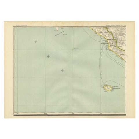
Maps and Sea Charts · Sumatra
Antique Map of the Region of Bengkulu in Indonesia, 1900
1900 · 52.4 × 38.7 cm$105
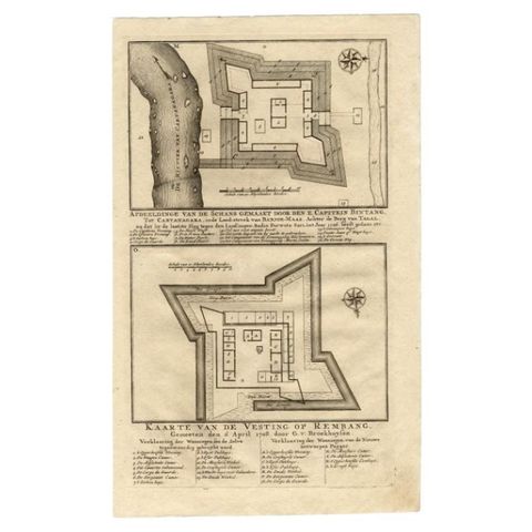
Maps and Sea Charts
Antique Map of the Fortress of Captain E. Bintang by Valentijn, 1726
1726 · 20.5 × 33.6 cm$105
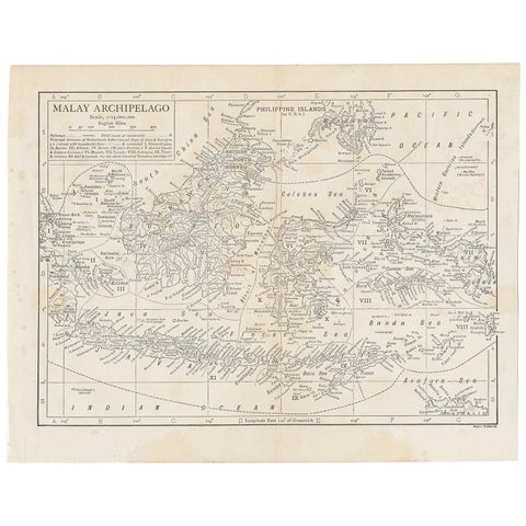
Maps and Sea Charts
Antique Map of the Malay Archipelago by Walker, 1911
1911 · 27 × 21.5 cm$100
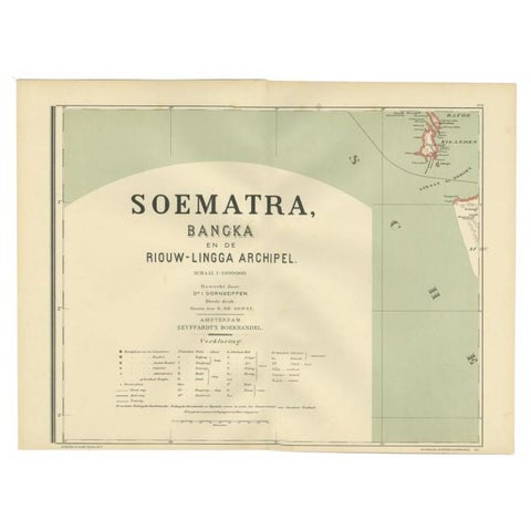
Maps and Sea Charts · Sumatra
Antique Map of the Batu Islands by Dornseiffen, 1900
1900 · 52 × 38.9 cm$95
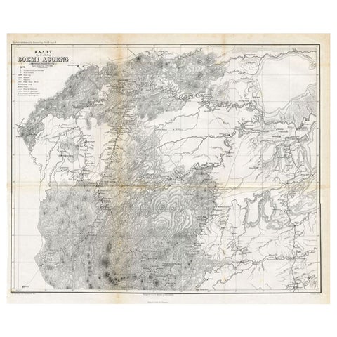
Maps and Sea Charts
Antique Map of the District of Boemi Agoeng by Stemler, c.1875
1875 · 52 × 42 cm$85
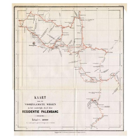
Maps and Sea Charts · Sumatra
Antique Map of the Main Roads of Palembang by Stemler, c.1875
1875 · 37 × 42.5 cm$85
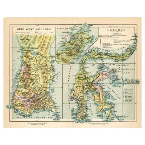
Maps and Sea Charts · Celebes
Antique Map of Sulawesi by Winkler Prins, c.1900
1900 · 31.5 × 25 cm$80
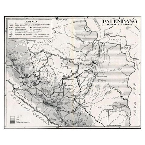
Maps and Sea Charts · Sumatra
Antique Map of the Palembang Area, c.1900
1900 · 31 × 24 cm$80
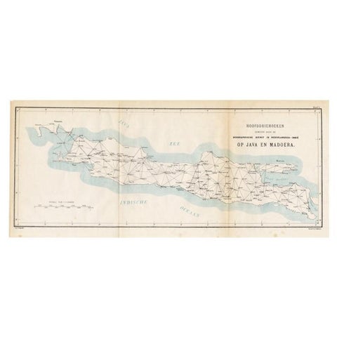
Maps and Sea Charts · Java
Old Map of Java, Indonesia by Stemler, 1875
1875 · 59 × 27.5 cm$80
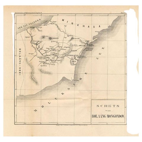
Maps and Sea Charts · Celebes
Antique Map of the Bolaang Mongondow District on Sulawesi by Stemler, c.1875
1875 · 39 × 38 cm$70
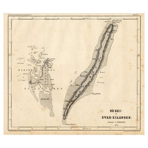
Maps and Sea Charts · Moluccas
Antique Map of the Kai Islands by Stemler, c.1875
1875 · 27.5 × 22 cm$70
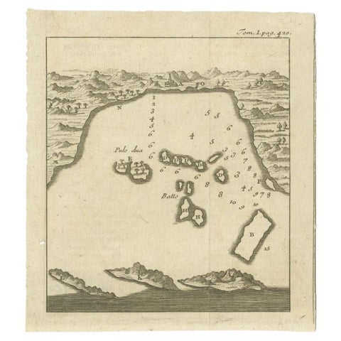
Maps and Sea Charts · Java
Antique Map of the Bay of Bantam, c.1720
1720 · 14.3 × 16 cm$65