Every map and print
301 sheets
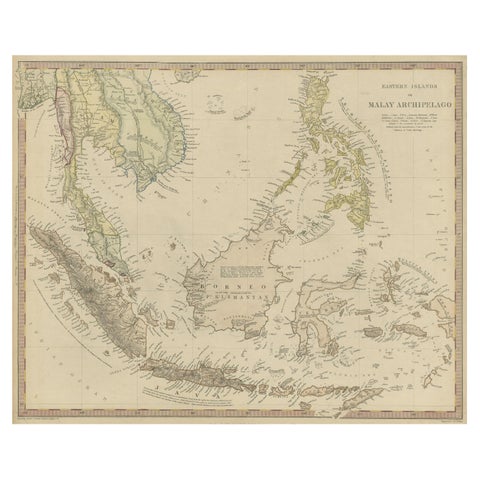
Maps and Sea Charts
Original Antique Map of the Dutch East Indies, Nowadays Indonesia, ca.1840
1840 · 41 × 34.5 cm$270
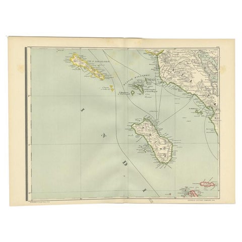
Maps and Sea Charts · Sumatra
Antique Map of the Nias Archipelago, Sumatra, Indonsia, 1900
1900 · 52.6 × 38.9 cm$270
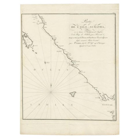
Maps and Sea Charts · Sumatra
Antique Map of Sumatra by Tardieu, 1811
1811 · 40.5 × 53 cm$265
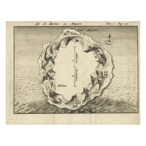
Maps and Sea Charts · Moluccas
Antique Map of Macjan or Makian Island in the Moluccas, Indonesia, c.1740
1740 · 16 × 21 cm$255
Maps and Sea Charts · Moluccas
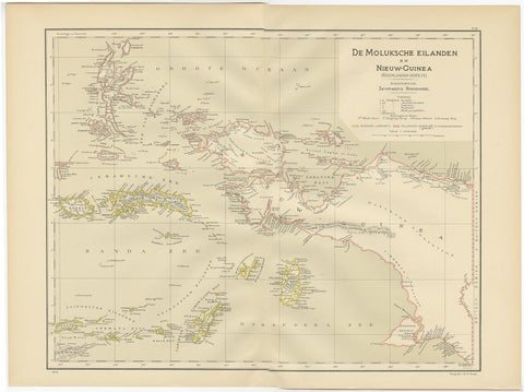
Antique Map of the Moluccas and Irian Jaya (Papua), Indonesia, 1900
1900 · 52.2 × 38.9 cm$250
Maps and Sea Charts · Java
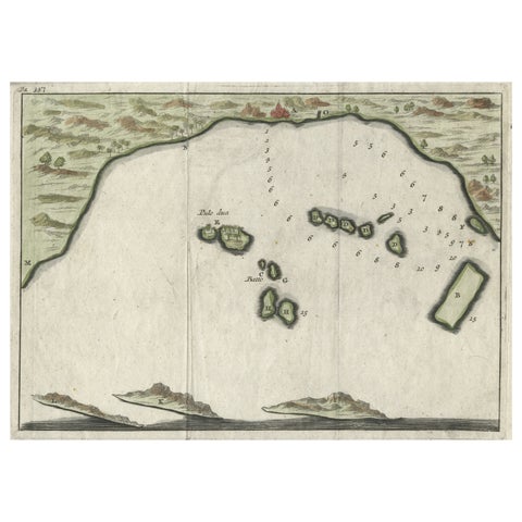
Small Early 18th Century Map of Banten Bay on the Island Java, Indonesia, c.1725
1725 · 21.8 × 16 cm$245
Maps and Sea Charts
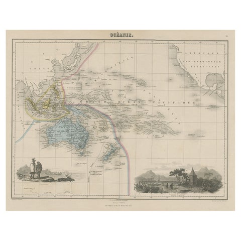
Old Map of the Oceans Around Australia, Indonesia and New Zealand, 1880
1880 · 47.5 × 34.5 cm$245
Maps and Sea Charts · Borneo
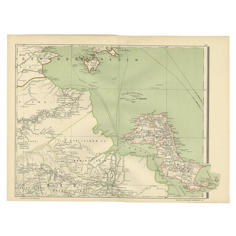
Antique Map of the Region of Banjarmasin, Indonesia 1900
1900 · 53.1 × 38.9 cm$245
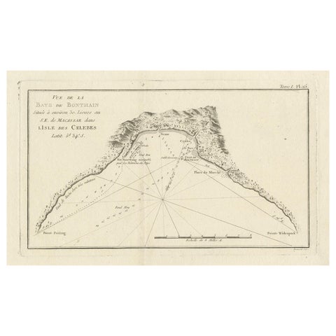
Maps and Sea Charts · Celebes
Antique Map of Bonthain Bay, Sulawesi, Celebes
circa 1774 · 38 × 27.3 cm$245
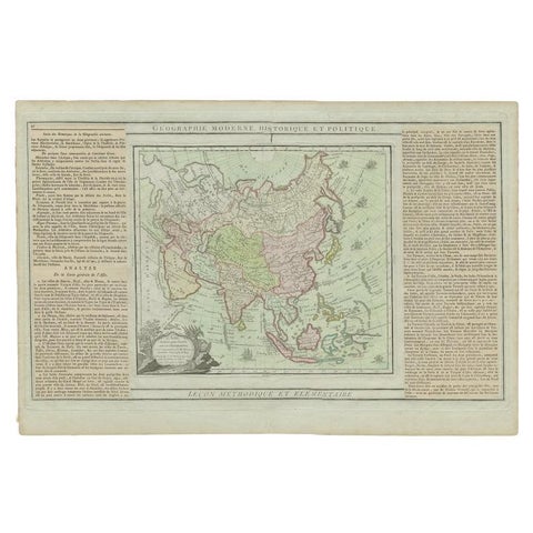
Maps and Sea Charts
Antique Map of Asia Showing all of Indonesia and the Marianas, 1790
1790 · 50.5 × 33.5 cm$245
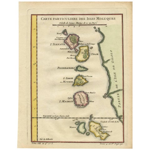
Maps and Sea Charts · Moluccas
Antique Map of the Moluques Islands, Part of Indonesia, circa 1750
1750 · 19.4 × 25.2 cm$235
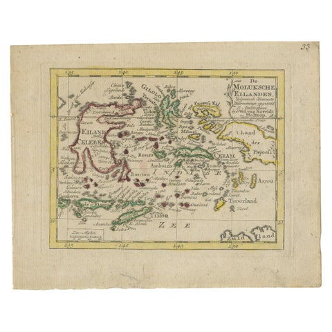
Maps and Sea Charts · Moluccas
Antique Miniature Map of the Maluku Islands by Van Esveldt & Holtrop 'c.1790'
1790 · 16 × 12.5 cm$225
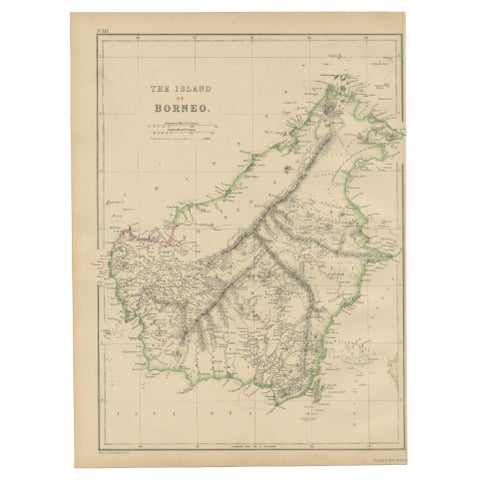
Maps and Sea Charts · Borneo
Antique Map of the Island of Borneo by W. G. Blackie, 1859
1859 · 27 × 37 cm$225
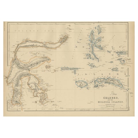
Maps and Sea Charts · Celebes
Antique Map of Celebes and the Maluku Islands by W. G. Blackie, 1859
1859 · 37 × 27 cm$225
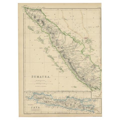
Maps and Sea Charts · Sumatra
Antique Map of Sumatra by W. G. Blackie, 1859
1859 · 27 × 37 cm$225
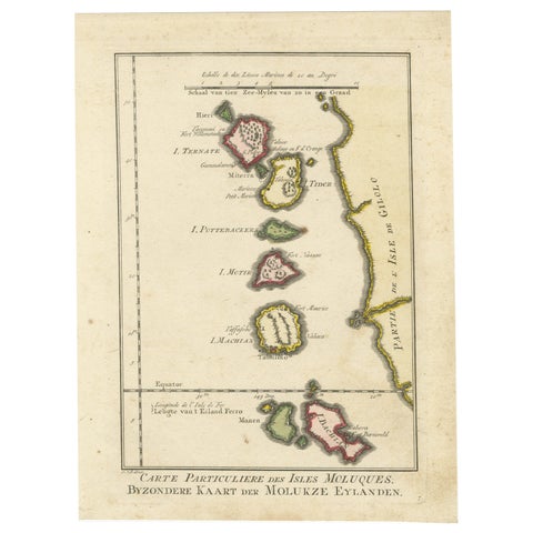
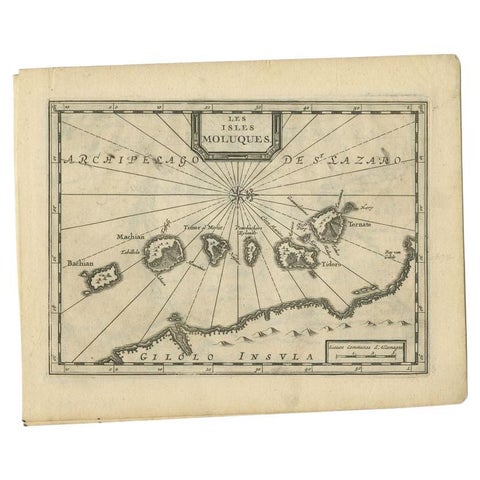
Maps and Sea Charts · Moluccas
Old Map of the Spice Islands, Moluccas by Bellin, Published in 1771
1771 · 19.6 × 26.3 cm$225
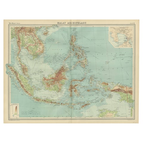
Maps and Sea Charts · Moluccas
Antique Map of the Maluku Islands by Van der Aa, 1714
1714 · 23.3 × 18.5 cm$225
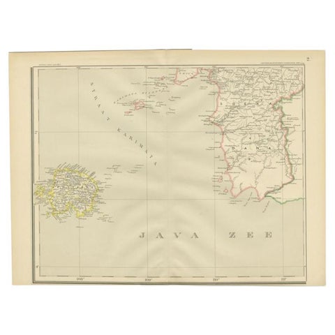
Maps and Sea Charts · Borneo
Old Map of South East Asia Showing the Malay Archipelago, incl Borneo etc, 1922
1922 · 59 × 45.5 cm$215
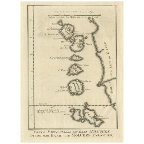
Maps and Sea Charts · Java
Antique Map of the Java Sea by Dornseiffen, 1900
1900 · 52.4 × 38.6 cm$215
Maps and Sea Charts · Moluccas
Original Antique Map of the Maluku Islands or Moluccas
Date not stated · 19.2 × 25.5 cm$215
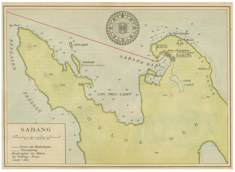
Maps and Sea Charts · Sumatra
Sabang Bay & Pulau Weh, Antique Dutch Colonial Map of Sumatra, Indonesia, 1910
1910 · 24.7 × 17.9 cm$215
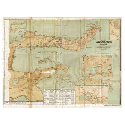
Maps and Sea Charts · Celebes
Antique Map of the Gulf of Tomini by Winkler Prins, 1878
1878 · 92 × 75 cm$205
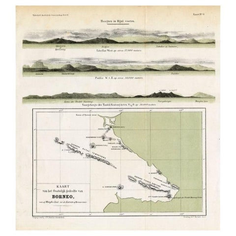
Maps and Sea Charts · Borneo
Antique Map of Eastern Borneo, Indonesia with Views of Mountain Ranges, c.1875
1875 · 24.5 × 27.5 cm$200
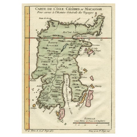
Maps and Sea Charts · Celebes
Antique Map of Celebes 'Sulawesi', Island in Indonesia, c.1750
1750 · 19 × 24.5 cm$200
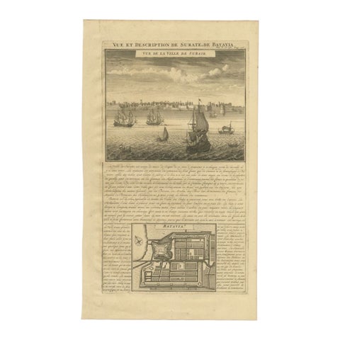
Maps and Sea Charts · Java
Antique Print of Surate and a Plan of Batavia in the Dutch East Indies, 1719
1719 · 26 × 44 cm$195
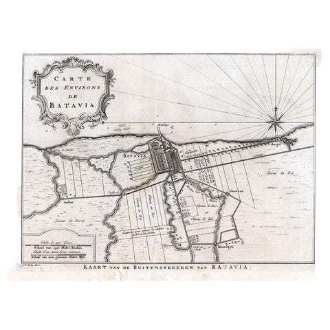
Maps and Sea Charts · Java
Antique Map of the Region of Batavia by Van Schley, c.1750
1750 · 33 × 27.5 cm$190
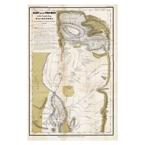
Maps and Sea Charts · Sumatra
Scarce Antique Map of Lake Toba and Silindoeng on Sumatra, Indonesia, c.1875
1875 · 80 × 50 cm$185
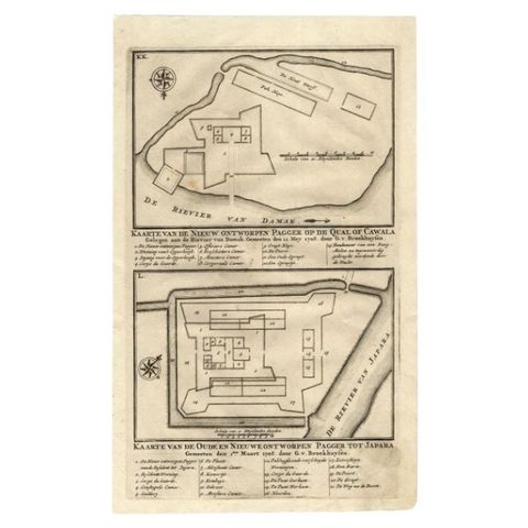
Maps and Sea Charts · Java
Antique Map of the Fortifications of Demak and Jepara by Valentijn, 1726
1726 · 20.4 × 33.4 cm$175
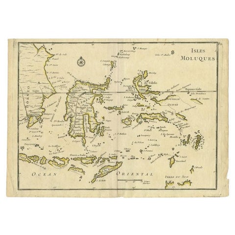
Maps and Sea Charts · Moluccas
Antique Map of the Maluku Islands by Le Rouge, c.1750
1750 · 30.2 × 21.8 cm$175
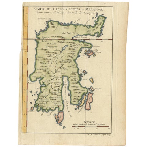
Maps and Sea Charts · Celebes
Antique Map of Celebes 'Sulawesi, Indonesia' by Bellin, ciarca 1755
1755 · 17.7 × 23.5 cm$170
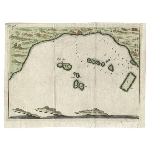
Maps and Sea Charts · Java
Antique Map of Banten Bay, Java, Indonesia, c.1725
1725 · 21.8 × 16 cm$170
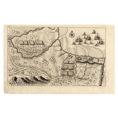
Maps and Sea Charts · Java
Antique Map of the Region of Pasuruan, Java, Indonesia, 1726
1726 · 33.2 × 20.6 cm$170
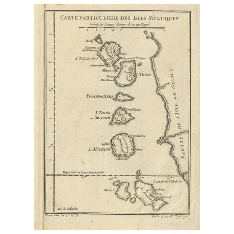
Maps and Sea Charts · Moluccas
Antique Map of the Maluku Islands or Moluccas, Indonesia
Date not stated · 18.2 × 25.6 cm$170
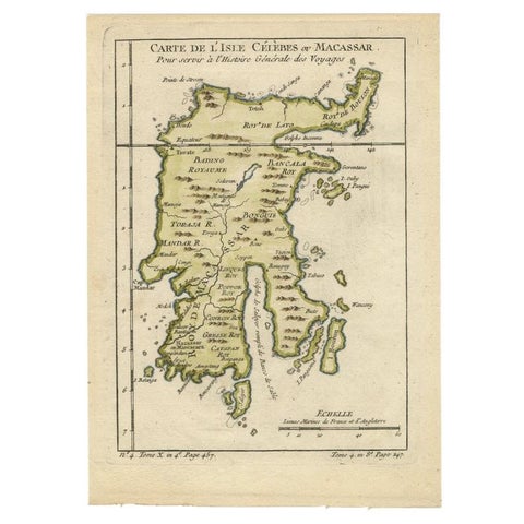
Maps and Sea Charts · Celebes
Antique Map of Celebes 'Sulawesi', Island in Indonesia, 1754
1754 · 17.8 × 24.8 cm$160
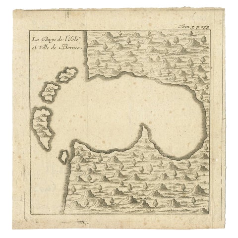
Maps and Sea Charts · Borneo
Antique Map of a Bay of Borneo, Indonesia, c.1760
1760 · 15.5 × 16 cm$155
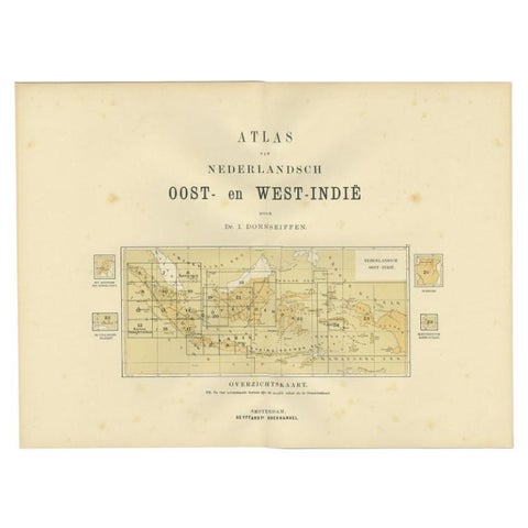
Maps and Sea Charts
Antique Map of the East Indies by Dornseiffen, 1900
1900 · 52.4 × 38.7 cm$155
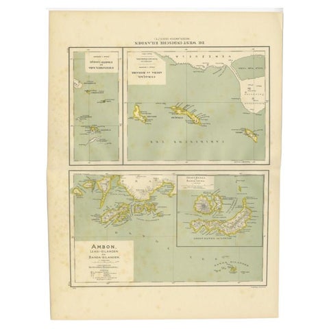
Maps and Sea Charts · Moluccas
Antique Map of the West Indies and Ambon in Indonesia, 1900
1900 · 38.7 × 51.9 cm$155
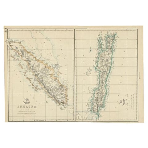
Maps and Sea Charts · Java
Antique Map of Sumatra and Java by Weller, c.1860
1860 · 47 × 32.5 cm$150
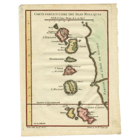
Maps and Sea Charts · Moluccas
Antique Map of the Maluku Islands by Bellin, c.1750
1750 · 18.5 × 24.5 cm$140
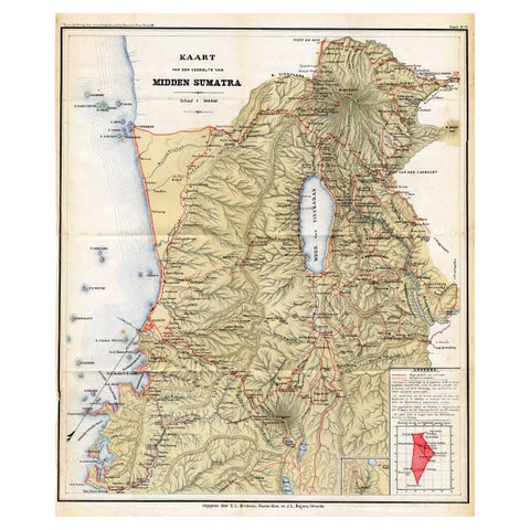
Maps and Sea Charts · Sumatra
Antique Map of Part of Sumatra by Stemler, c.1875
1875 · 45 × 56 cm$140
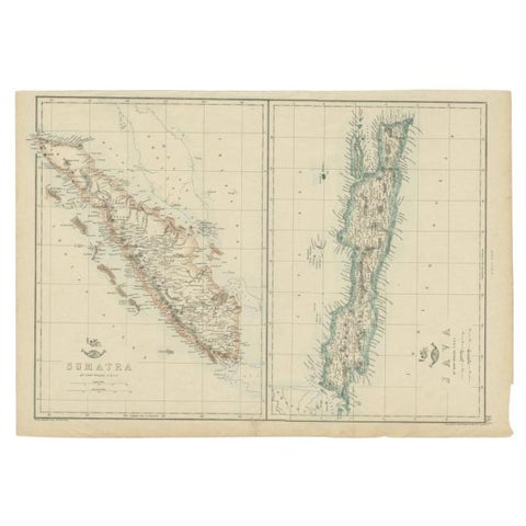
Maps and Sea Charts · Java
Antique Map of Sumatra and Java by Weller, c.1860
1860 · 48.5 × 34 cm$140
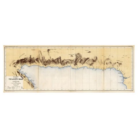
Maps and Sea Charts · Moluccas
Antique Map of Taluti Bay by Stemler, C.1875
1875 · 76 × 27.5 cm$140
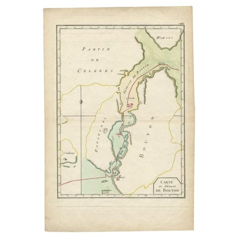
Maps and Sea Charts · Celebes
Antique Map of the Buton Strait by Philippe, 1787
1787 · 29 × 44 cm$135
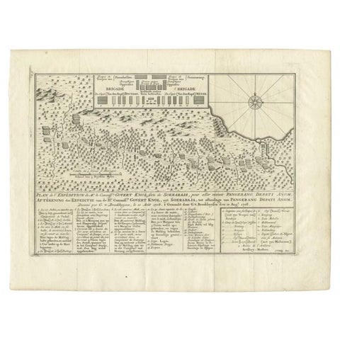
Maps and Sea Charts
Antique Map of the Expedition of Govert Knol by Van Schley, 1765
1765 · 36 × 27.5 cm$135
Maps and Sea Charts · Sumatra
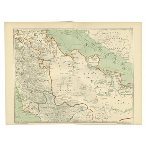
Antique Map of the East Coast of Sumatra , Indonesia, 1900
1900 · 51.5 × 38.9 cm$130
Maps and Sea Charts · Celebes
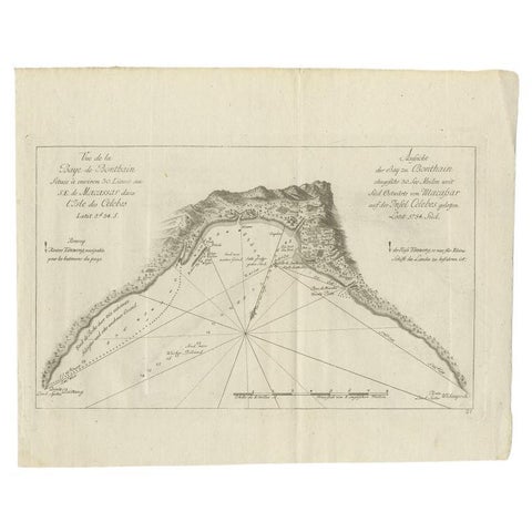
Antique Map of a Bay Nearby Makassar, Celebes 'Sulawesi)' by Hawkesworth, 1774
1774 · 32.5 × 26.5 cm$130
Maps and Sea Charts · Moluccas
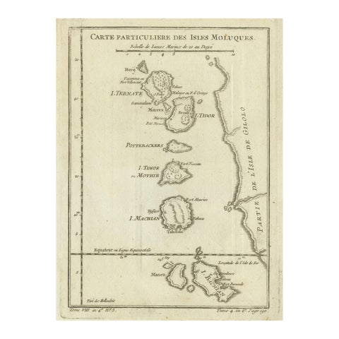
Antique Map of the Moluccas (Maluku Islands), Indonesia, Bellin, 18th Century
Date not stated · 17.9 × 24.6 cm$125
Maps and Sea Charts
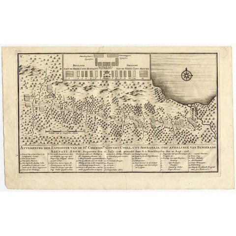
Antique Map of the Expedition of Govert Knol by Valentijn, 1726
1726 · 33.8 × 20.8 cm$120