Search: New Guinea
10 sheets
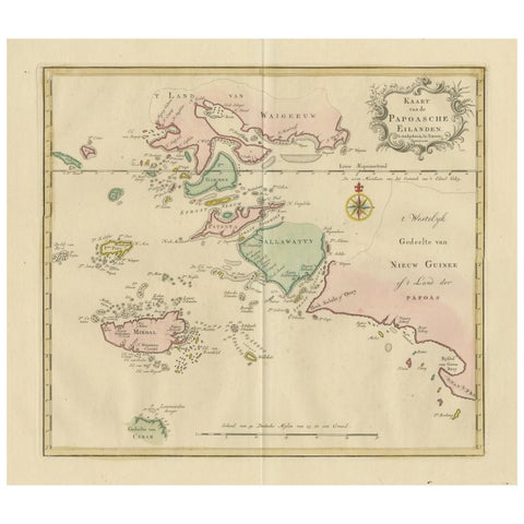
Maps and Sea Charts · Moluccas
Antique Map extending from the Spice Islands to the west of Papua New Guinea
Date not stated · 55 × 44 cm£410
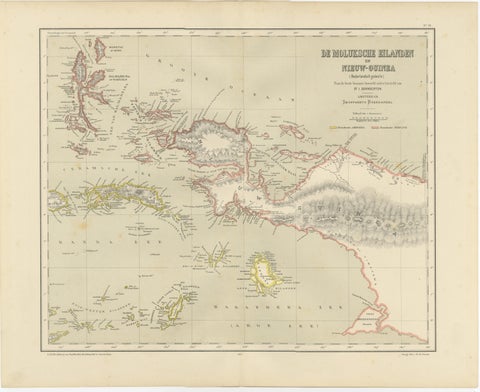
Maps and Sea Charts · Moluccas
Antique Colonial Dutch Map of the Moluccas & New Guinea by Dornseiffen, 1884
1884 · 48.5 × 39 cm£325
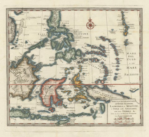
Maps and Sea Charts · Moluccas
Antique Map of the Philippines & Eastern Indonesia: Spice Islands by Tirion 1738
1738 · 48.7 × 37.6 cm£620
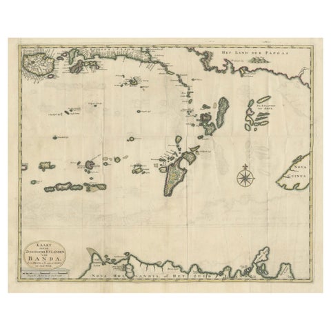
Maps and Sea Charts · Moluccas
Old Antique Map of the Banda Islands (Southeast), Indonesia & Northern Australia
Date not stated · 61 × 51.5 cm£585
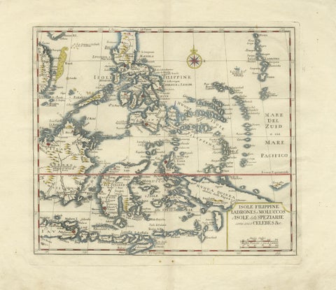
Maps and Sea Charts · Celebes
Antique Map Philippines, Moluccas, Celebes, Spice Islands, Tirion, c.1738
1738 · 48.7 × 37.6 cm£580
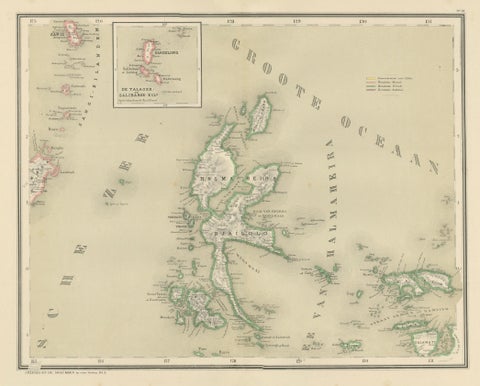
Maps and Sea Charts · Moluccas
Antique Map of Halmahera, Ternate, Tidore, Moluccas by Dornseiffen, 1884
1884 · 39 × 48.5 cm£245
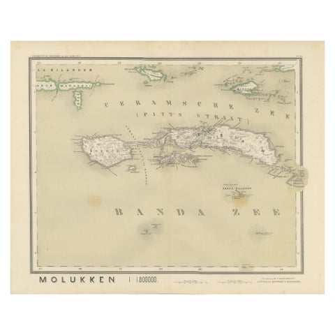
Maps and Sea Charts · Moluccas
Antique Map of Ceram, Ambon, Banda, Buru, Moluccas by Dornseiffen, 1884
1884 · 39 × 48.5 cm£245
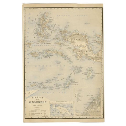
Maps and Sea Charts · Moluccas
Antique Map of the Moluccas by Stemfoort, 1885
1885 · 48 × 61.5 cm£220
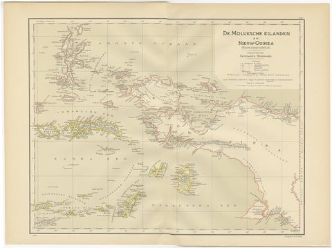
Maps and Sea Charts · Moluccas
Antique Map of the Moluccas and Irian Jaya (Papua), Indonesia, 1900
1900 · 52.2 × 38.9 cm£185
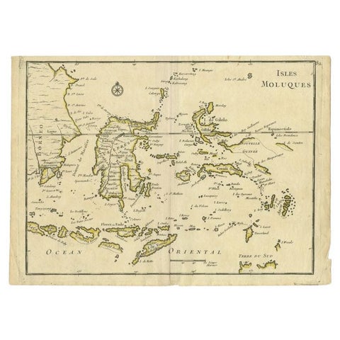
Maps and Sea Charts · Moluccas
Antique Map of the Maluku Islands by Le Rouge, c.1750
1750 · 30.2 × 21.8 cm£130