Close-ups
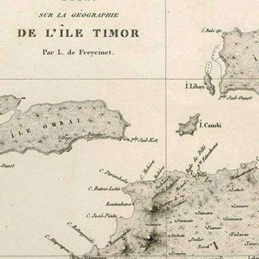
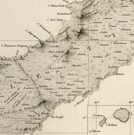
Framed and on the wall

Frame and rooms are illustrations of how the print could look, drawn to its real size; it is sold unframed unless the description says otherwise.
Maps and Sea Charts
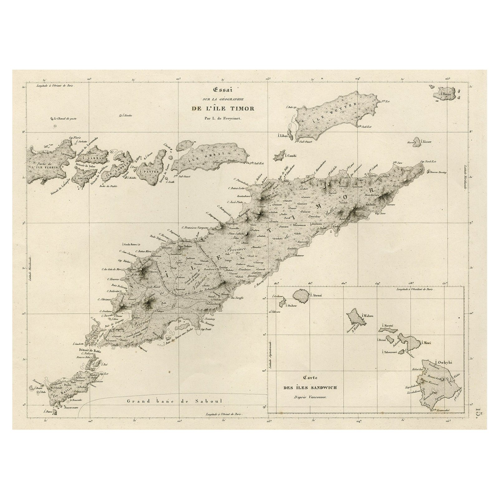
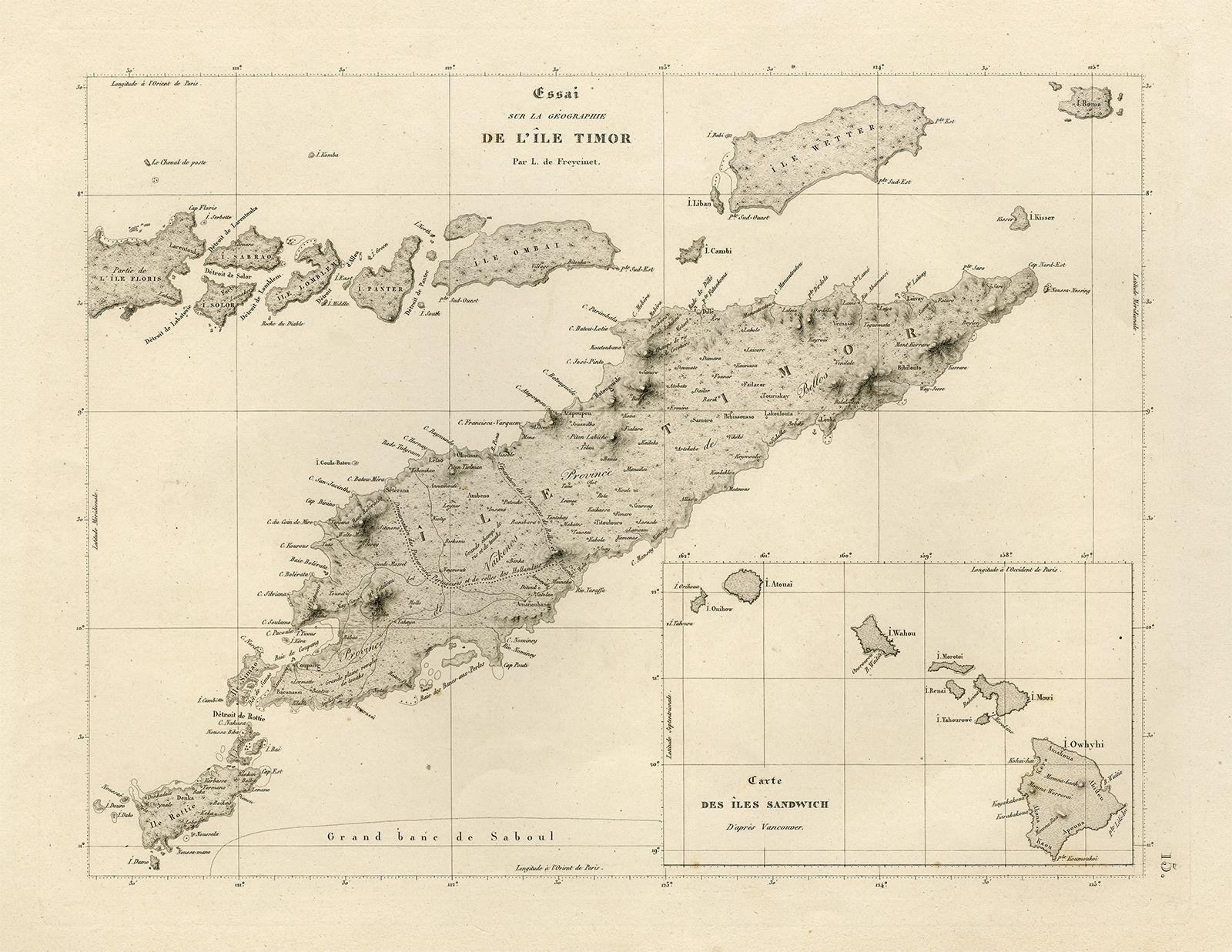
Rare Antique Map with Timor and Nearby Islands Plus an Inset of Hawaii, 1825
$950
€850 · £710
Original print, not a reproduction
Ships worldwide from the Netherlands, insured and tracked. 14-day returns.
- Date
- 1825
- Sheet size
- 13.4 × 19.7 in (34 × 50 cm)
- Condition
- Good. Given age. Some thumbing and small stains in the margins. A faint crease in the left margin. Far left margin lightly dampstained. General age-related toning and/or occasional minor defects from handling. Please study image carefully.
- Island
- Lesser Sunda
- Collection
- Maps and Sea Charts
- Period
- Raffles to the Cultivation System, 1800 to 1849
- Stock no.
- f_26741852
What the condition grades mean
- Excellent
- Bright and clean, with no faults worth mentioning.
- Very good
- Only light signs of age, such as faint toning.
- Good
- Normal signs of age for a sheet of this period: toning, some foxing, small marks or neat old repairs.
- Fair
- Clear faults such as staining, tears or repairs, priced to match.
Every fault we see is written in the condition note, and the whole sheet is shown uncropped in the photos.
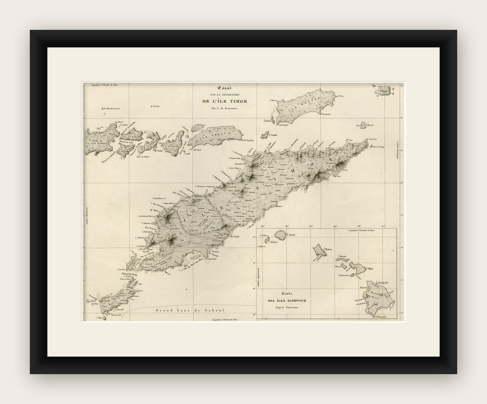
Antique map titled 'Essai sur la Geographie de l'Ile Timor.'
A map showing Timor and the surrounding nearby islands (Floris, Sabrao, Solor, Lomblem, Panter, Ombai and Wetter. With an inset map of the Sandwich Islands (Hawaii). Source: 'Voyage autour du monde sur les corvettes Uranie et la Physicienne pendant les annees 1817, 1818, 1819 et 1820', Paris: 1825. This series of exquisitely engraved prints constitutes a unique documentation of exotic unknown lands and their inhabitants, made during the voyage of the Uranie (in honor of the muse of astronomy and geography). The expedition was led by Louis de Freycinet at the behest of the newly restored French king Louis XVIII and to restore prestige for the French nation.
Artists and Engravers: Made by an anonymous engraver after 'Louis de Freycinet'. Louis Claude de Saulces de Freycinet (1779-1841) was a French navigator who circumnavigated the earth. In 1811 he published the first map to show the complete coastline of Australia.