Close-ups
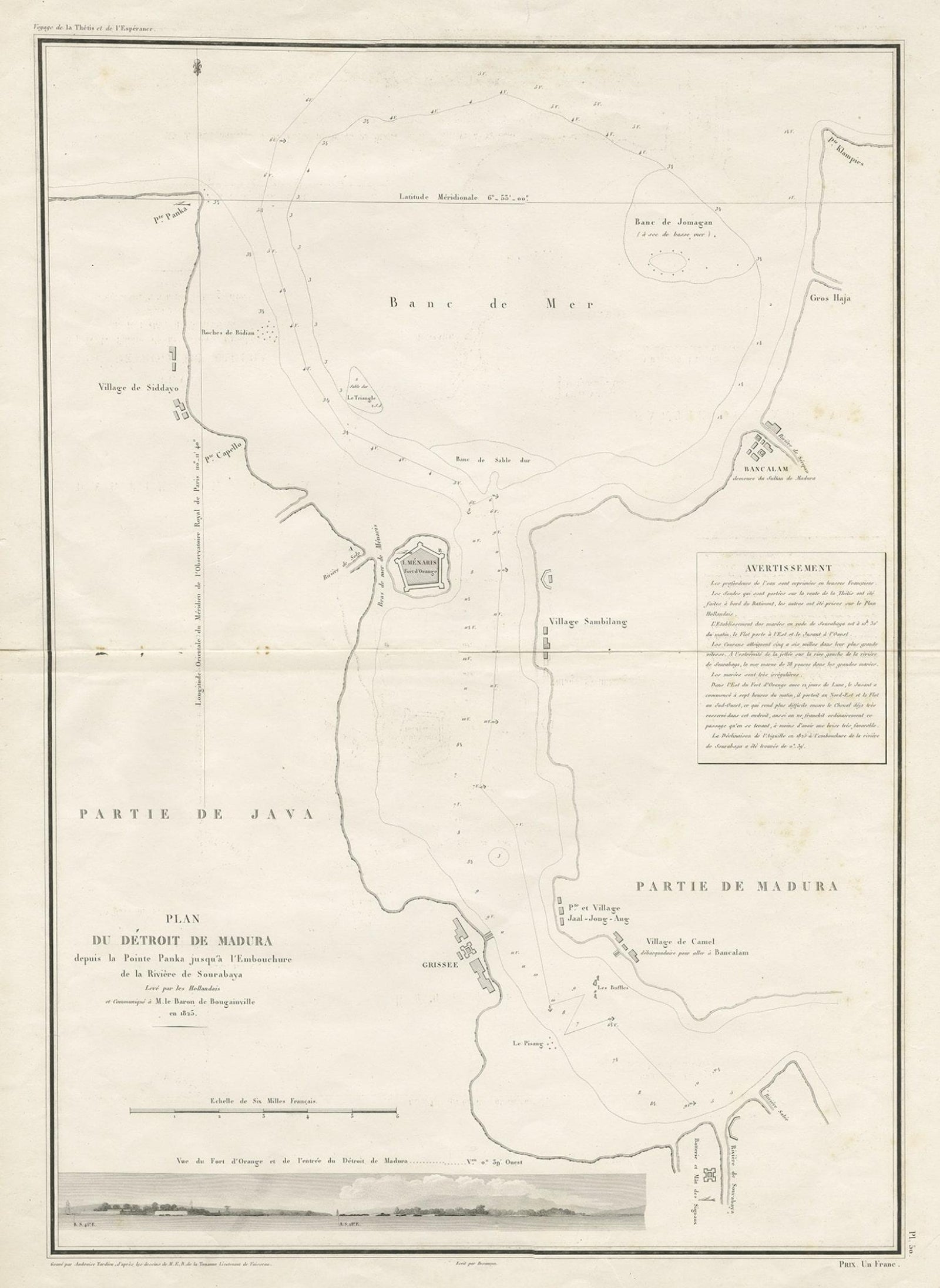
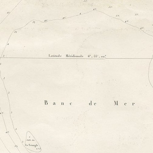
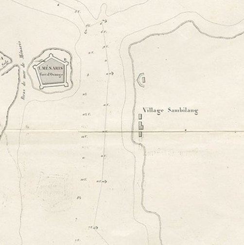
Framed and on the wall
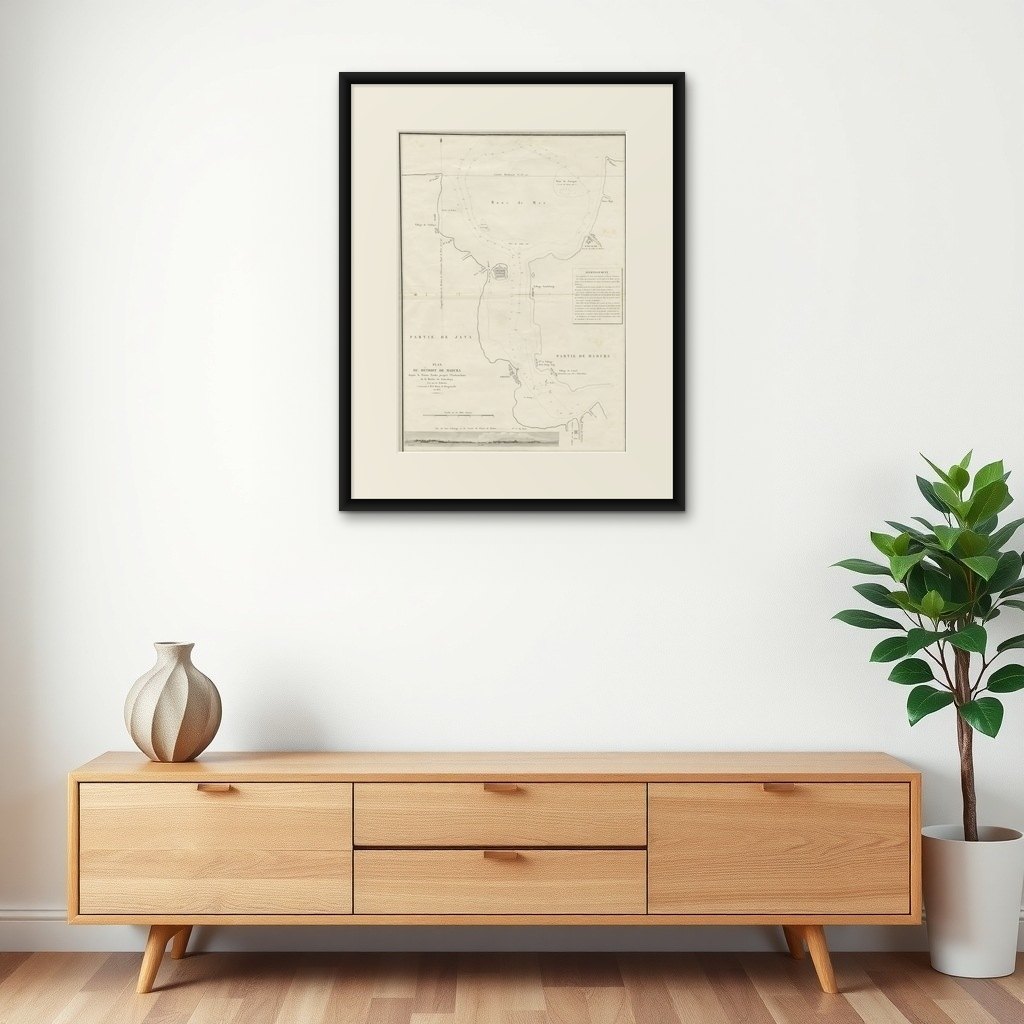

Frame and rooms are illustrations of how the print could look, drawn to its real size; it is sold unframed unless the description says otherwise.
Maps and Sea Charts
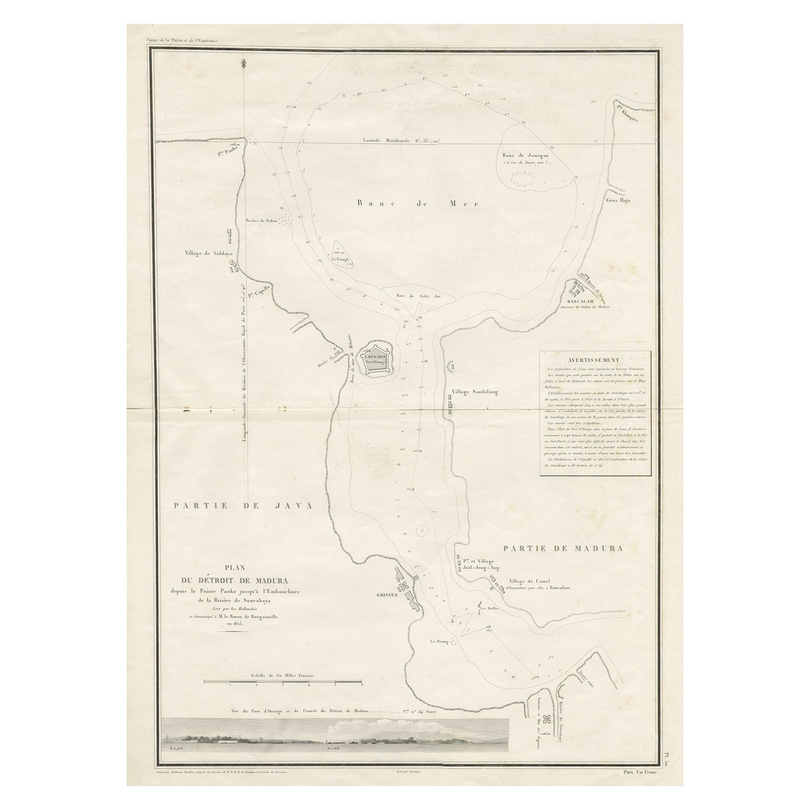
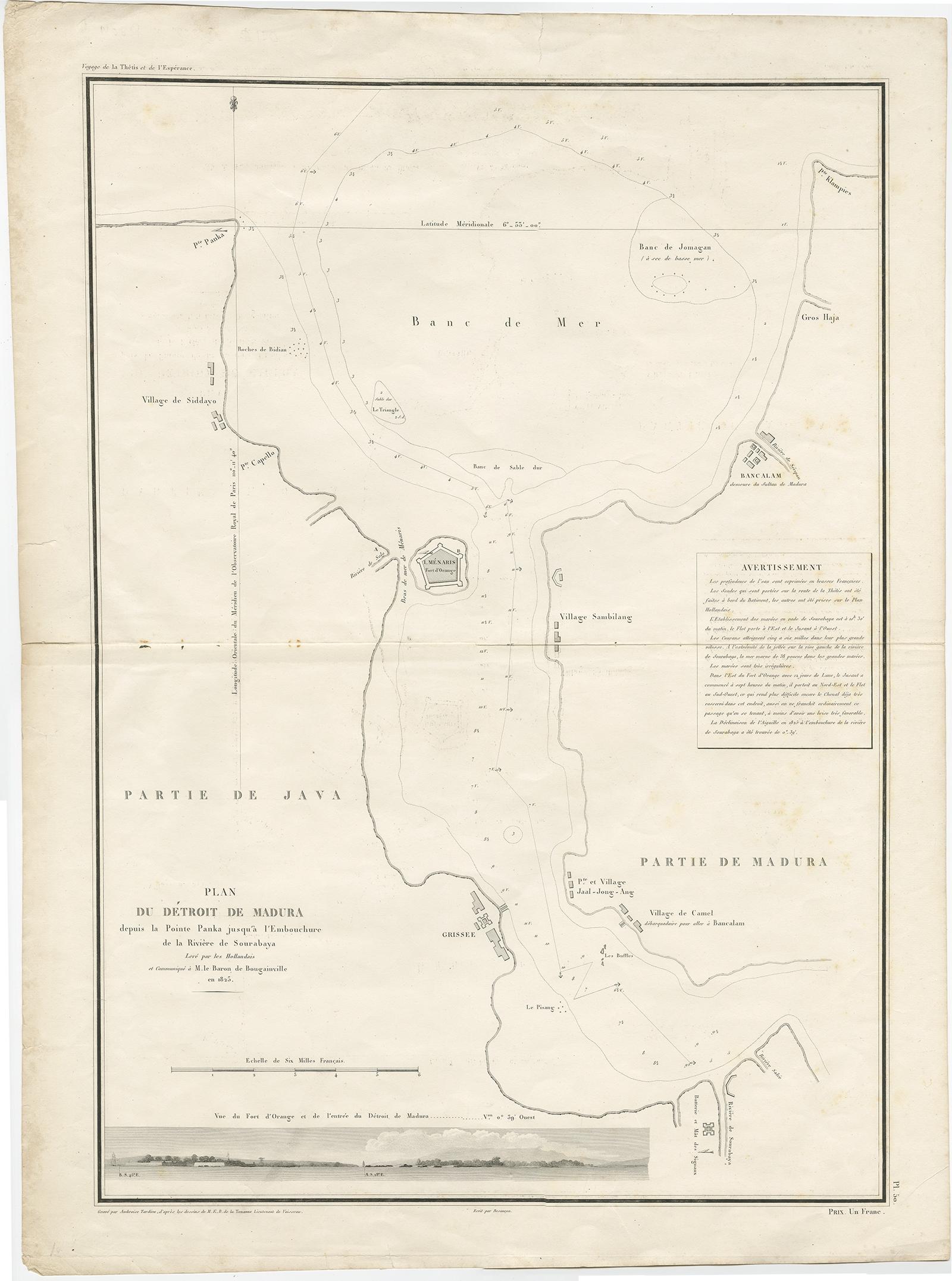
Detailed Map of the Madura Strait, between Java & Madura Island, Indonesia, 1825
£1,045
$1,400 · €1,250
Original print, not a reproduction
Ships worldwide from the Netherlands, insured and tracked. 14-day returns.
- Date
- 1825
- Sheet size
- 26.8 × 19.9 in (68 × 50.5 cm)
- Condition
- Fair. General age-related toning. Few marginal tears and some creasing. Please study image carefully.
- Island
- Java
- Collection
- Maps and Sea Charts
- Period
- Raffles to the Cultivation System, 1800 to 1849
- Stock no.
- f_27034252
What the condition grades mean
- Excellent
- Bright and clean, with no faults worth mentioning.
- Very good
- Only light signs of age, such as faint toning.
- Good
- Normal signs of age for a sheet of this period: toning, some foxing, small marks or neat old repairs.
- Fair
- Clear faults such as staining, tears or repairs, priced to match.
Every fault we see is written in the condition note, and the whole sheet is shown uncropped in the photos.
Antique map titled 'Plan du Détroit de Madura'.
Detailed map of the Madura Strait in Indonesia. The eastern part of the island Java with the city of Gresik and the western part of Pulau Madura with the city Bangkalam. In the lower part of the map a view of the strait of Madura between Java and the Fort d'Orange. This map originates from 'Journal de la navigation autour du globe de la frégate "la Thétis" et de la corvette "l'Espérance"'.
Artists and Engravers: Ambroise Tardieu ( 1788, 1841 in Paris) was an eminent French cartographer and engraver, and is celebrated for his version of John Arrowsmith's 1806 map of the United States. Tardieu's son, Auguste Ambroise Tardieu (1818-1879), was also an artist and a famous forensic medical scholar, who supplied the illustrations for Dr. Pierre François Olive Rayer's three-volume Traité des maladies des reins (1839-41), a treatise on diseases of the kidneys.