Close-ups
Framed and on the wall


Frame and rooms are illustrations of how the print could look, drawn to its real size; it is sold unframed unless the description says otherwise.
Maps and Sea Charts
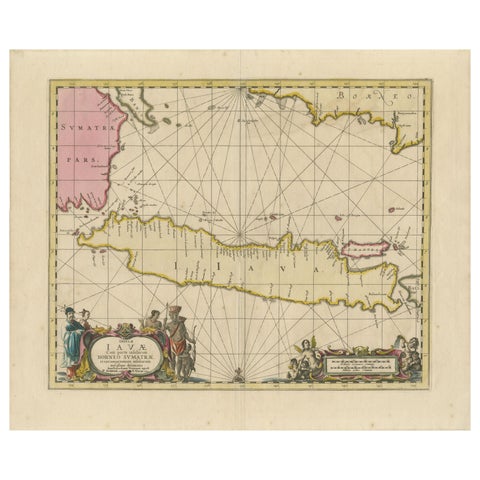
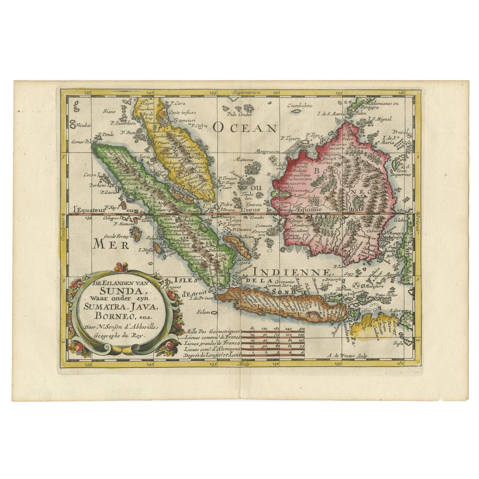
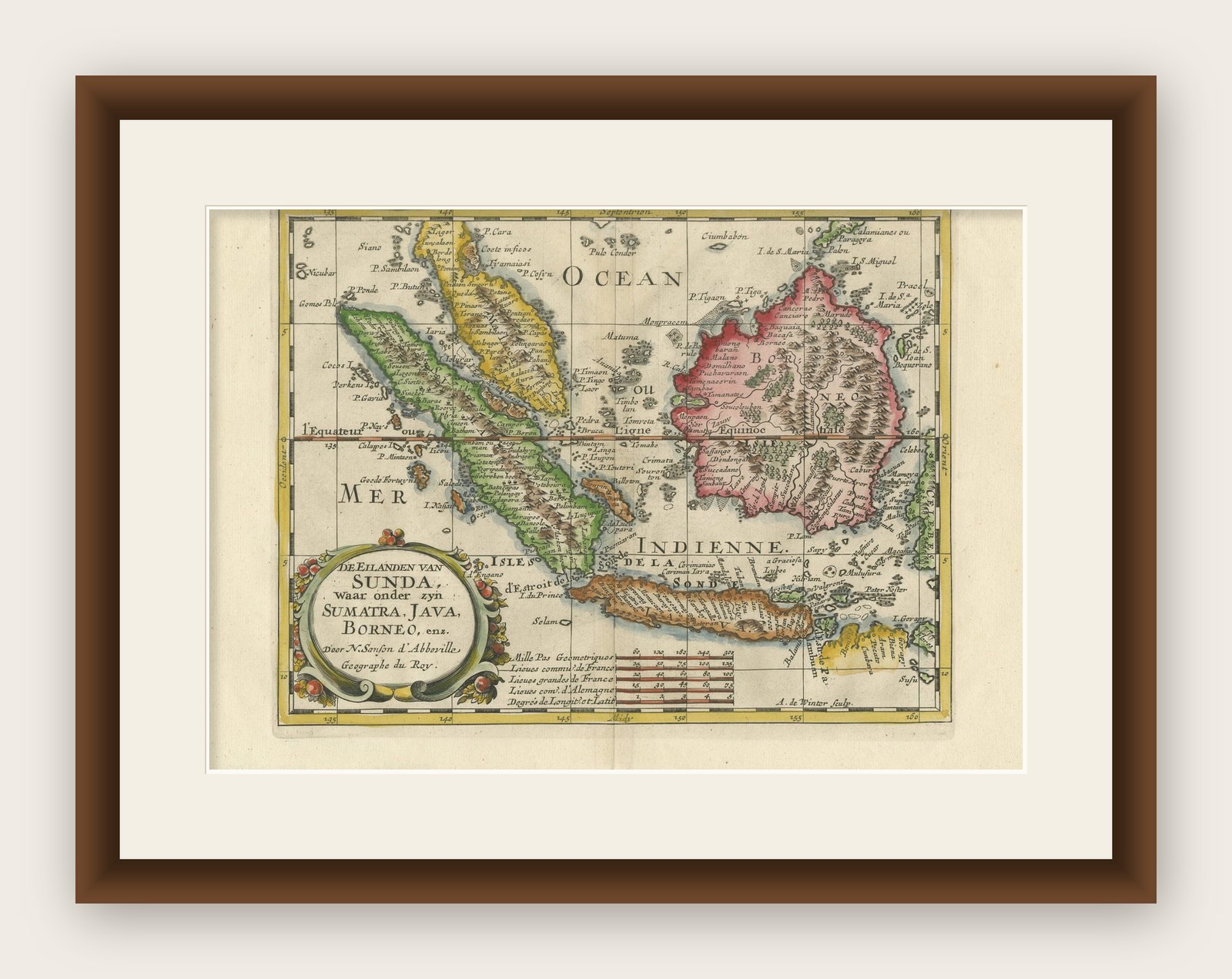
Antique Map of the Sunda Islands Including Sumatra, Java, and Borneo, 1705
Borneo is now Kalimantan.
€860
$965 · £720
Original print, not a reproduction
Ships worldwide from the Netherlands, insured and tracked. 14-day returns.
- Date
- 1705
- Sheet size
- 8.7 × 11.9 in (22 × 30.2 cm)
- Condition
- Good. Very good. A dark and attractive impression on a bright sheet with a bit of offsetting and a narrow top margin. Study the scans carefully.`.
- Island
- Java, Sumatra, Borneo, Lesser Sunda
- Place names
- Borneo is now Kalimantan
- Collection
- Maps and Sea Charts
- Period
- The Company, 1700 to 1799
- Stock no.
- f_38602972
What the condition grades mean
- Excellent
- Bright and clean, with no faults worth mentioning.
- Very good
- Only light signs of age, such as faint toning.
- Good
- Normal signs of age for a sheet of this period: toning, some foxing, small marks or neat old repairs.
- Fair
- Clear faults such as staining, tears or repairs, priced to match.
Every fault we see is written in the condition note, and the whole sheet is shown uncropped in the photos.
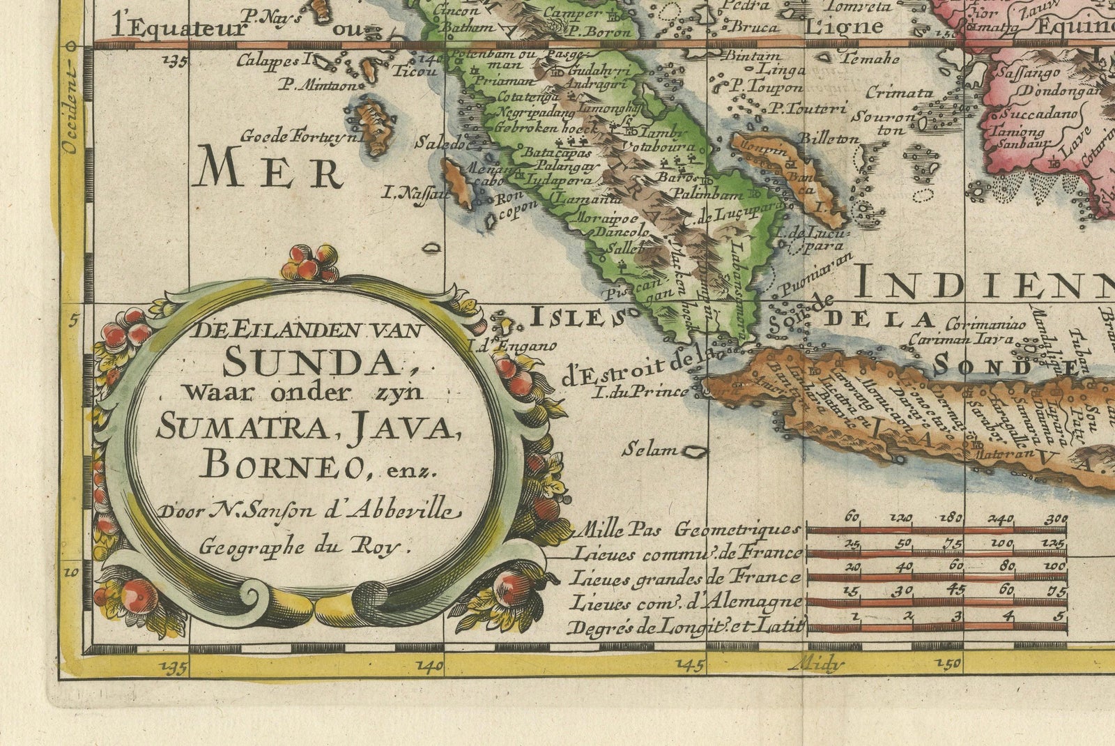
Title: “Antique Map of the Sunda Islands Including Sumatra, Java, and Borneo”
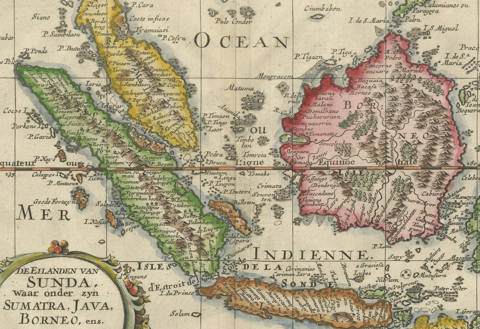
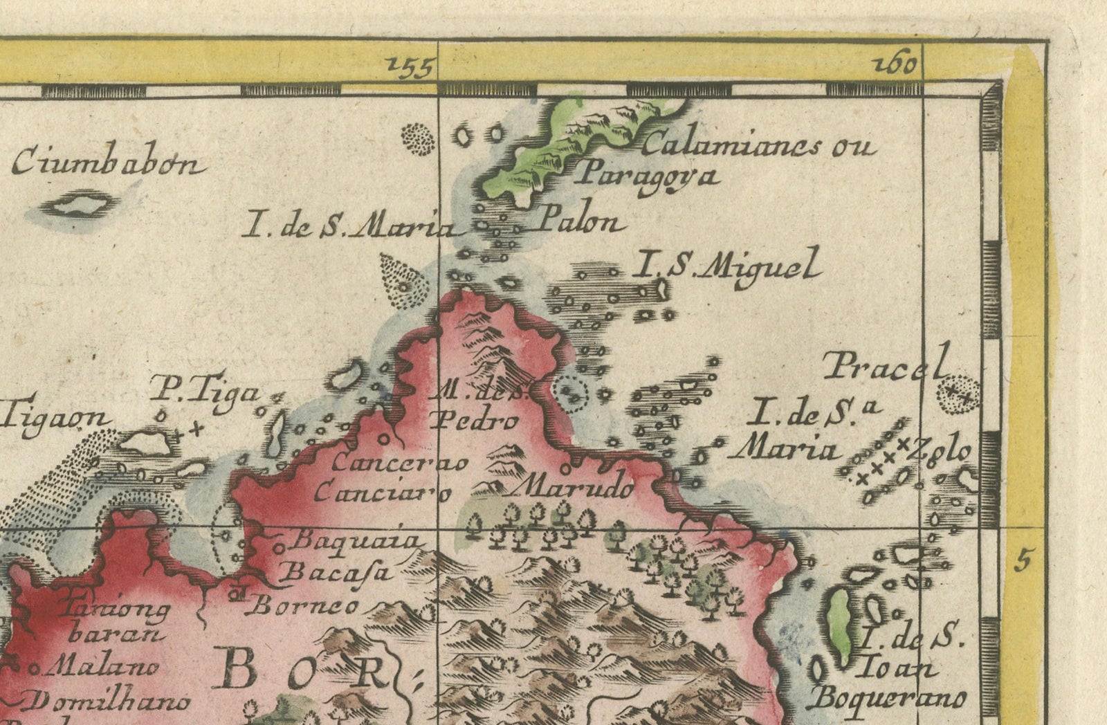
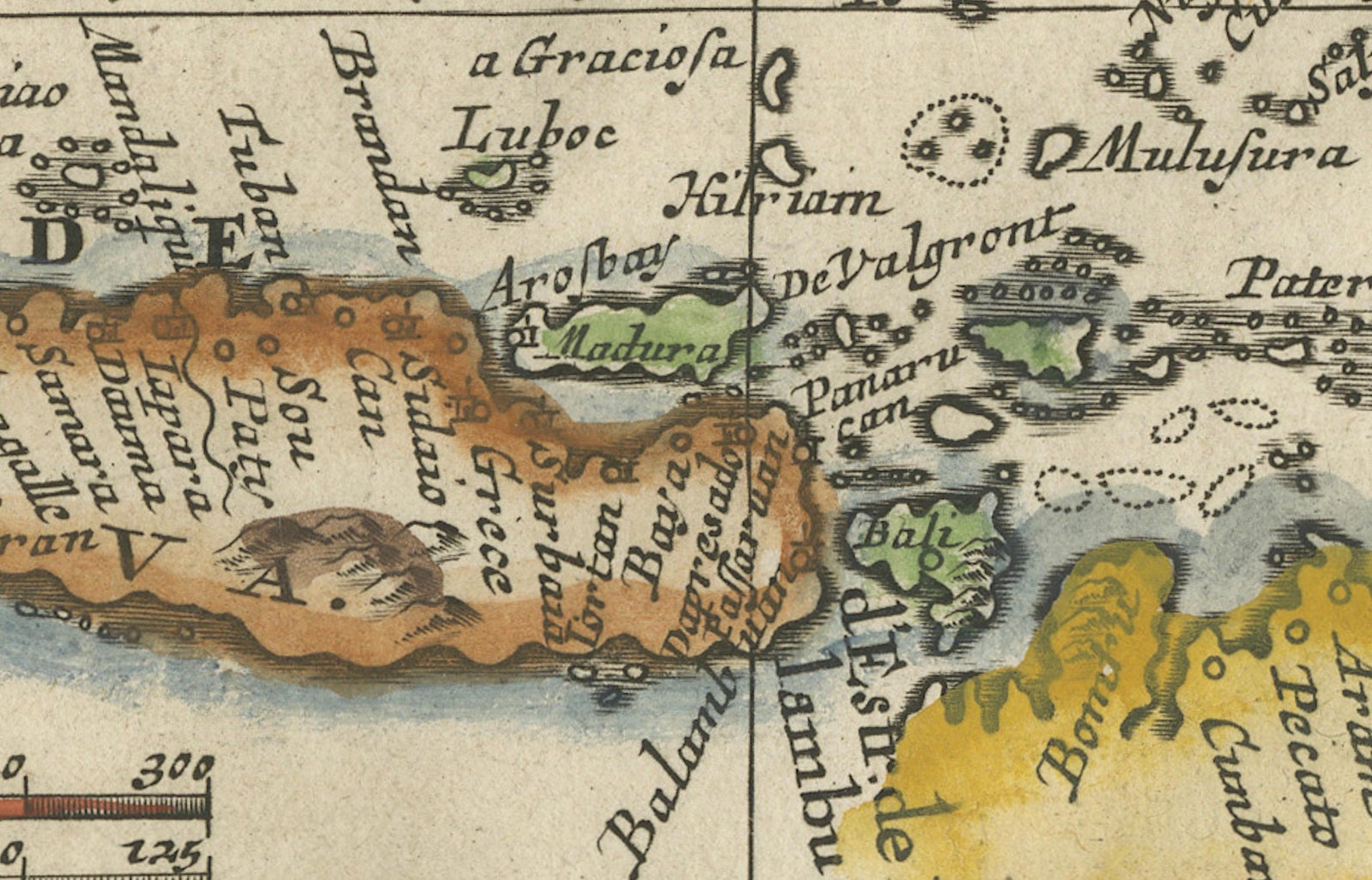
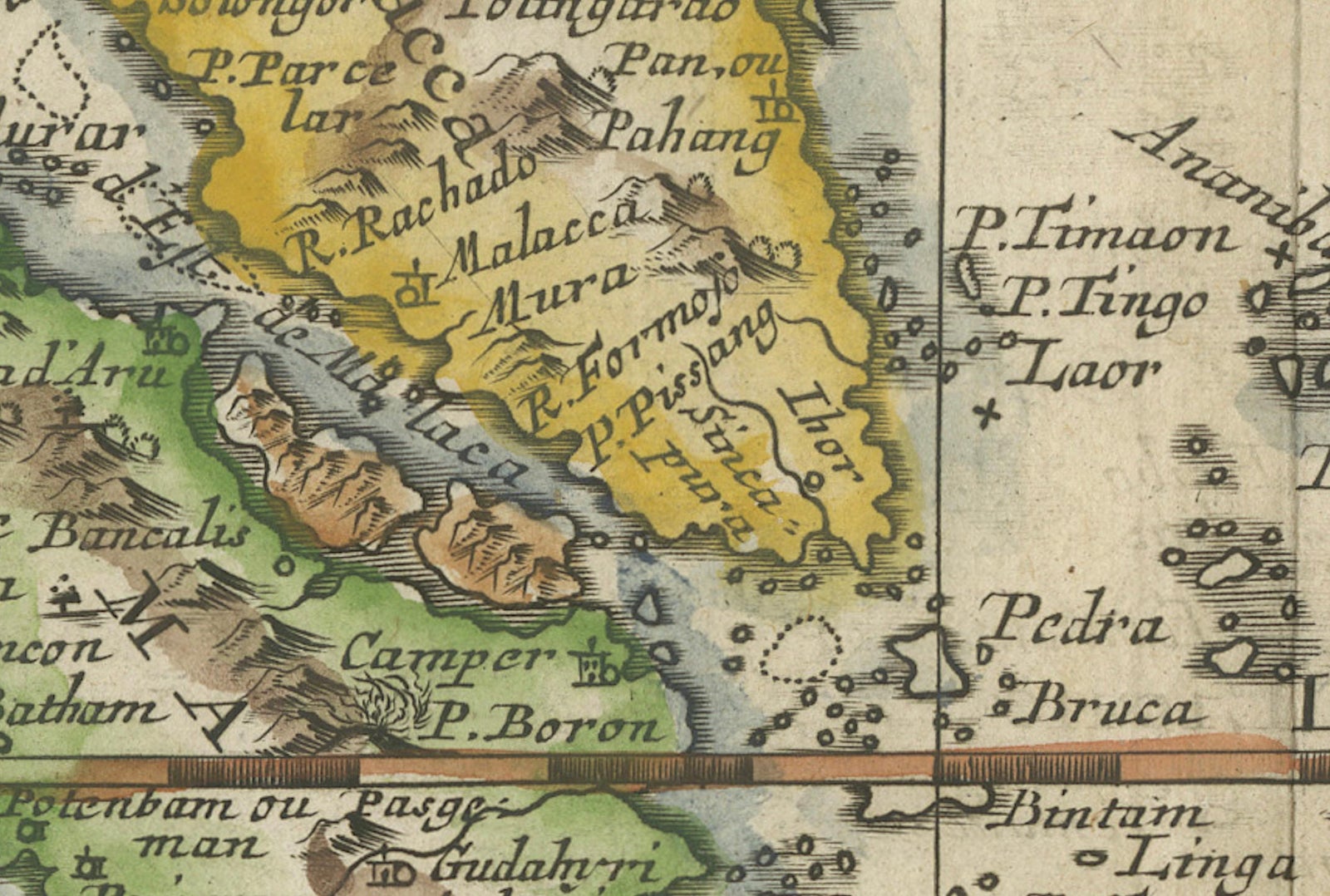
This print is a beautifully detailed and relatively rare map of Western Indonesia, encompassing the region historically known as the Sunda Islands. Created by the cartographer Nicolas Sanson and published in 1705, it measures approximately 9.8 x 7.6 inches (24.9 x 19.3 cm). The map features hand-applied coloring, enhancing its visual appeal and highlighting the distinctive geographical features of the Malay Peninsula, Sumatra, Java, and Borneo, among others.
The map is noteworthy for its precision and the abundance of place names, such as Sincapura (Singapore), Bali, Flores, and others, which are meticulously noted. A striking feature of this map is its ornate title cartouche, adorned with a garland of fruit, which adds an artistic element to the scientific endeavor of cartography.
Nicolas Sanson's small maps, originally from his work "L'Asie en Plusieurs Cartes..." first published in 1652 and engraved by A. Peyrounin, were popular and influential enough to be replicated by various publishers. Johann David Zunners included copies of Sanson's maps in his German translation of "Die Gantze Erd-Kugel" in 1679. Johannes Ribbius and Simon de Vries also published copies in 1682 and 1683, introducing new maps engraved by Antoine d'Winter.
The engraving plates changed hands over time, eventually being acquired by Francois Halma, who utilized them in 1699 and later in 1705, with the titles being re-engraved in Dutch. These same plates saw further use, with titles re-engraved back into French for use by Nicholas Chemereau in 1715 and Henri du Sauzet in 1738.
This map, originating from "Algemeene Weereld-Beschryving," represents a significant period in cartographic history, illustrating the era's geographical knowledge and artistic flair. The intricate detailing and the charming coloration of the map make it not only an important historical document but also a piece of art.
Explore