Close-ups
Framed and on the wall

Frame and rooms are illustrations of how the print could look, drawn to its real size; it is sold unframed unless the description says otherwise.
Maps and Sea Charts
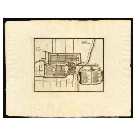
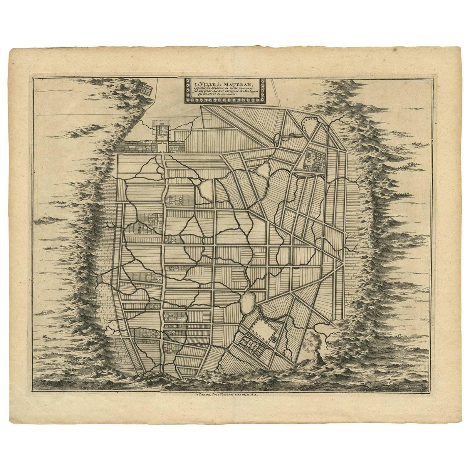
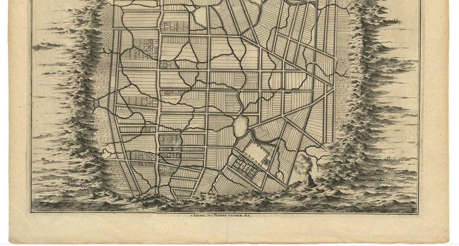
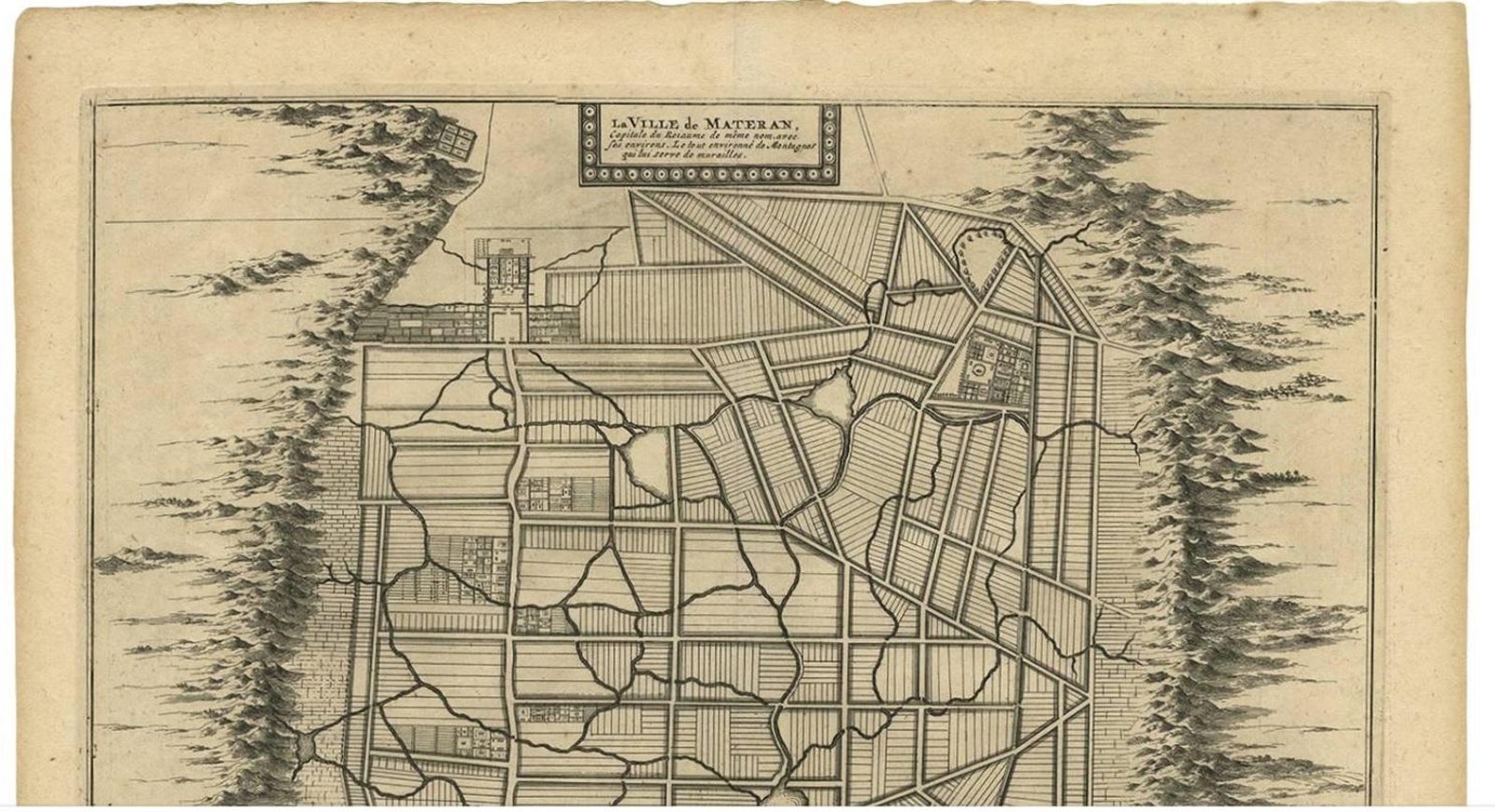
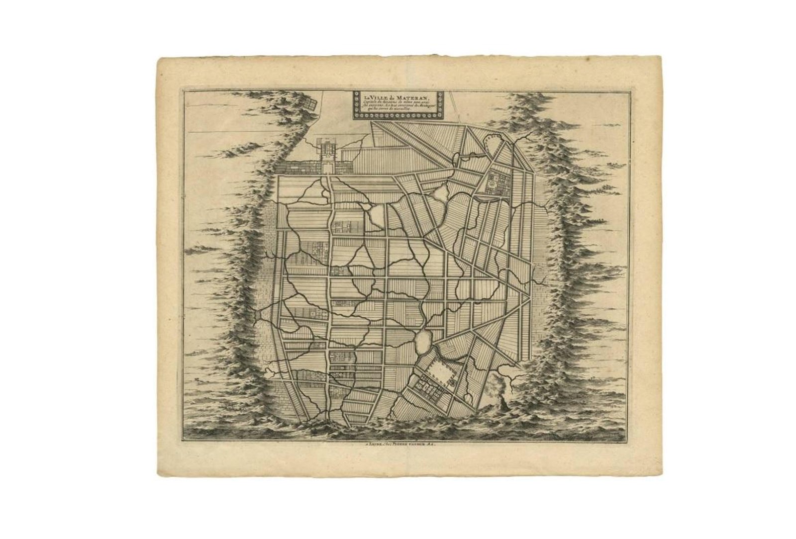
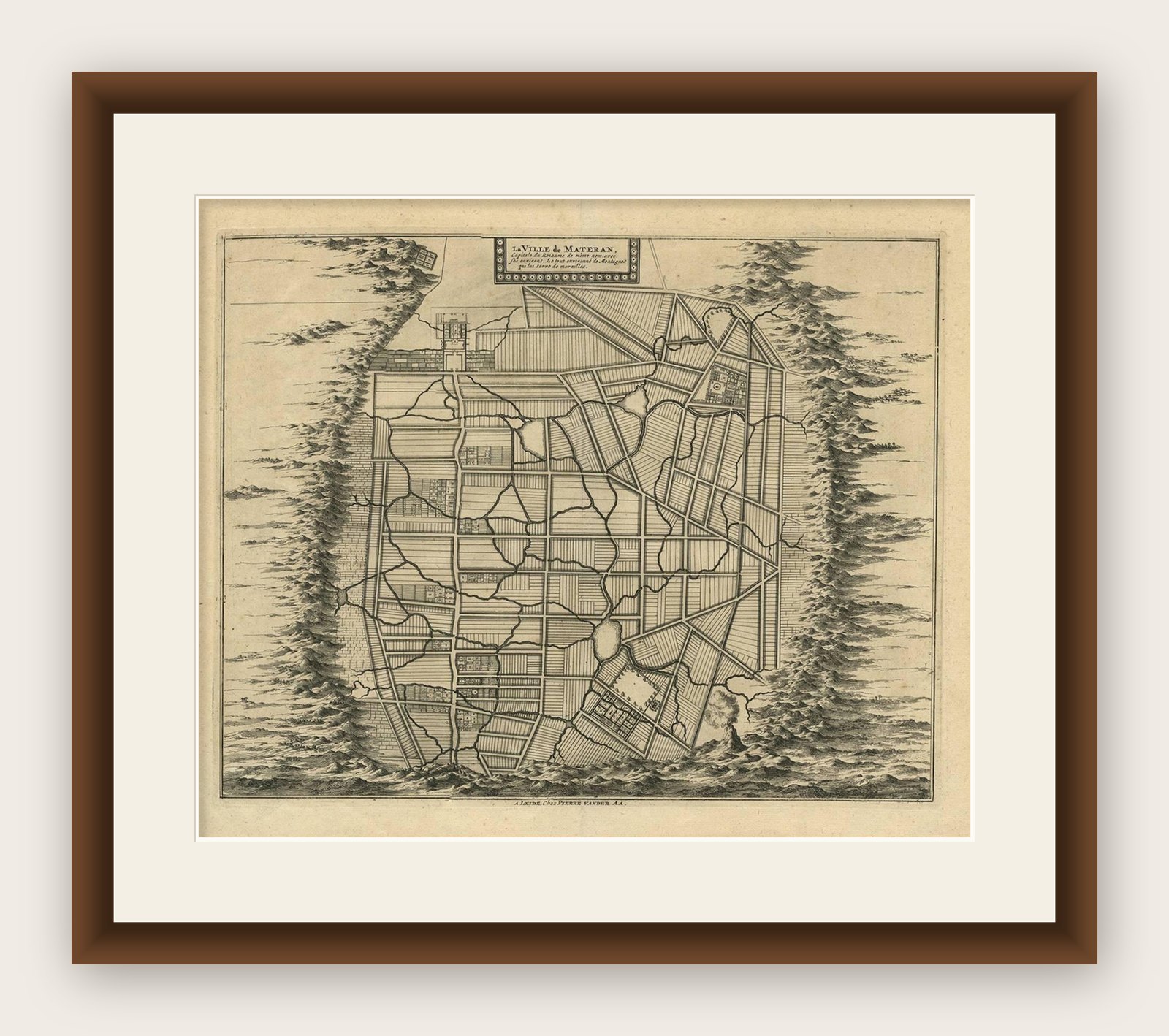
Antique Map of the City of Materan 'Indonesia' by P. van der Aa, circa 1725
Materan is now Mataram.
€395
$440 · £330
Original print, not a reproduction
Ships worldwide from the Netherlands, insured and tracked. 14-day returns.
- Date
- 1725
- Sheet size
- 13 × 15.8 in (33 × 40.2 cm)
- Condition
- Good. Please study image carefully.
- Island
- Java
- Place names
- Materan is now Mataram
- Collection
- Maps and Sea Charts
- Period
- The Company, 1700 to 1799
- Stock no.
- f_8974341
What the condition grades mean
- Excellent
- Bright and clean, with no faults worth mentioning.
- Very good
- Only light signs of age, such as faint toning.
- Good
- Normal signs of age for a sheet of this period: toning, some foxing, small marks or neat old repairs.
- Fair
- Clear faults such as staining, tears or repairs, priced to match.
Every fault we see is written in the condition note, and the whole sheet is shown uncropped in the photos.
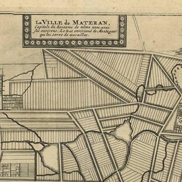
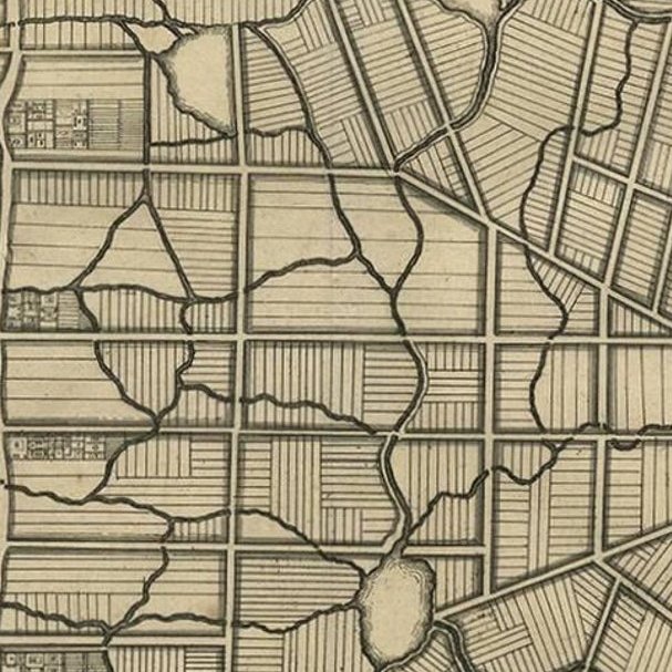
Antique map titled 'La Ville de Materan, capitale de Roiaume de meme nom, avec ses environs. Le tout environne de Montagnes qui lui serve de murailles.' The city of Materan, capital of the kingdom by the same name, with its surroundings. All surrounded by mountains that serve as a protective wall. This map depicts the area of Yogyakarta (Java, Indonesia). The city is named after the Indian city of Ayodhya from the Ramayana epic. Yogya means "suitable, fit, proper", and karta, "prosperous, flourishing". According to Canggal inscription dated 732, the area traditionally known as "Mataram" became the capital of the Medang Kingdom, identified as Mdang i Bhumi Mataram established by King Sanjaya.
This map originates from 'Voyages celebres & remarquables, faits de Perse aux Indes Orientales' by J.A. von Mandelslo. Published in Amsterdam, 1727.
Explore