Close-ups
Framed and on the wall
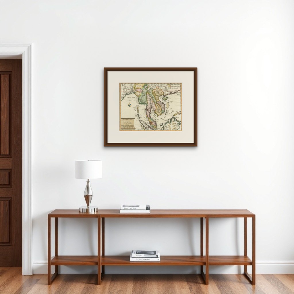

Frame and rooms are illustrations of how the print could look, drawn to its real size; it is sold unframed unless the description says otherwise.
Maps and Sea Charts
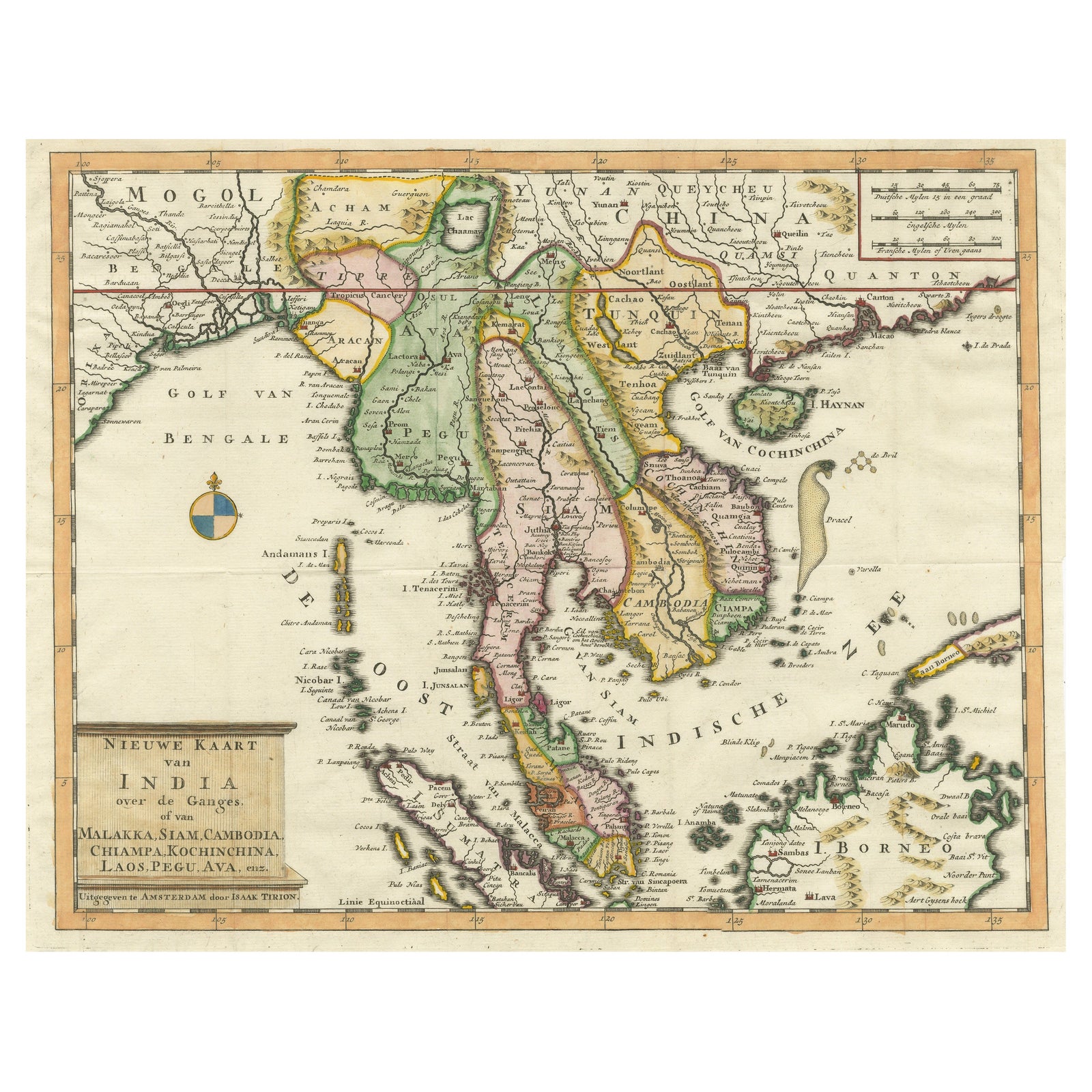
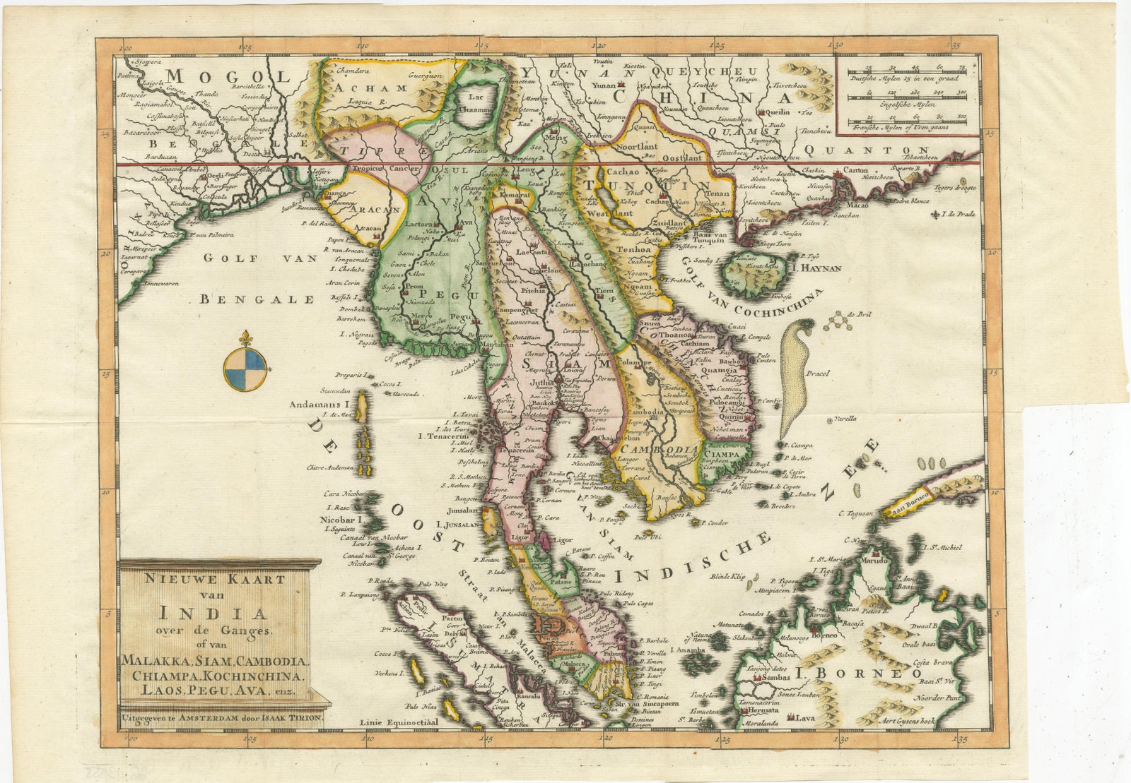
Antique Map of Indochina, the Malaysian Peninsula and Northern Sumatra
£535
$715 · €640
Original print, not a reproduction
Ships worldwide from the Netherlands, insured and tracked. 14-day returns.
- Date
- Not stated
- Sheet size
- 12.3 × 17.7 in (31.2 × 45 cm)
- Condition
- Good. General age-related toning. Original folding lines. Right margin partly trimmed. Blank verso. Please study image carefully.
- Island
- Sumatra
- Collection
- Maps and Sea Charts
- Stock no.
- f_36188492
What the condition grades mean
- Excellent
- Bright and clean, with no faults worth mentioning.
- Very good
- Only light signs of age, such as faint toning.
- Good
- Normal signs of age for a sheet of this period: toning, some foxing, small marks or neat old repairs.
- Fair
- Clear faults such as staining, tears or repairs, priced to match.
Every fault we see is written in the condition note, and the whole sheet is shown uncropped in the photos.
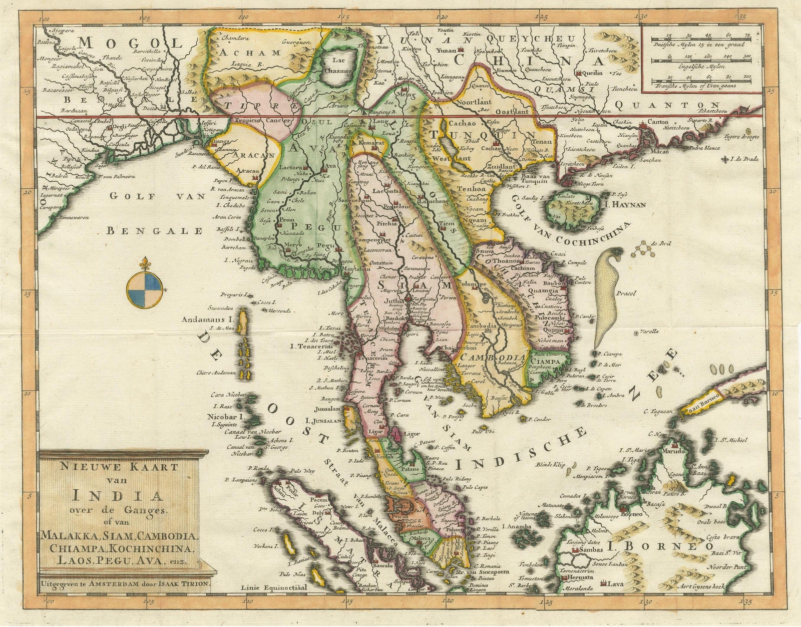
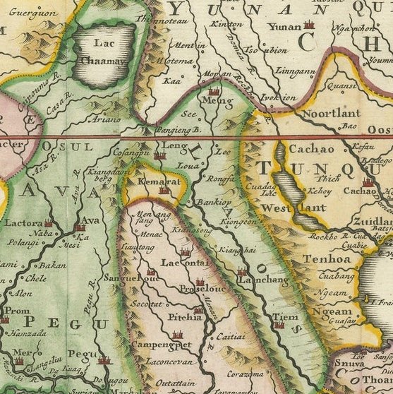
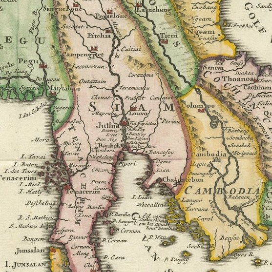
Antique map titled 'Nieuwe Kaart van India over de Ganges of van Malakka, Siam, Cambodia, Chiampa, Kochinchina, Laos, Pegu, Ava, enz'. Original old map of Indochina, the Malaysian Peninsula and the northern parts of Sumatra and Borneo. The mythical Lac Chaamay is still shown in Acham. Published by I. Tirion, circa 1760.
Tirion was born in Utrecht in 1705. He moved to Amsterdam in 1725 and set up shop on Damrak as a book publisher. Tirion quick rose in prominence by publishing pamphlets, historical works, and, most importantly, maps and atlases. He eventually relocated his printing house to the prestigious Kalverstraat. In his long career he produced eight atlases in multiple editions, some of which were published posthumously until about 1784. Most of his cartographic work is based on the earlier maps of Guillaume de L'Isle.