By island · Kalimantan
Borneo
Borneo, the Dayak peoples of the interior and the river ports of Banjarmasin and Pontianak.
47 sheets
Maps and Sea Charts · Java
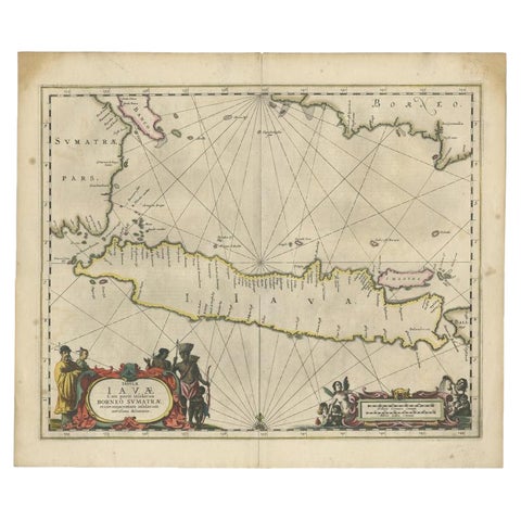
Antique Map of Java and Part of Borneo, Indonesia, c.1657
1657 · 49.5 × 58 cm£2,305
Maps and Sea Charts · Java
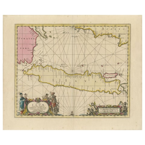
Antique Map of Java, Sumatra & Borneo, Dutch East Indies Sea Chart c.1700
1700 · 61.5 × 51.2 cm£1,885
Peoples and Costume · Borneo
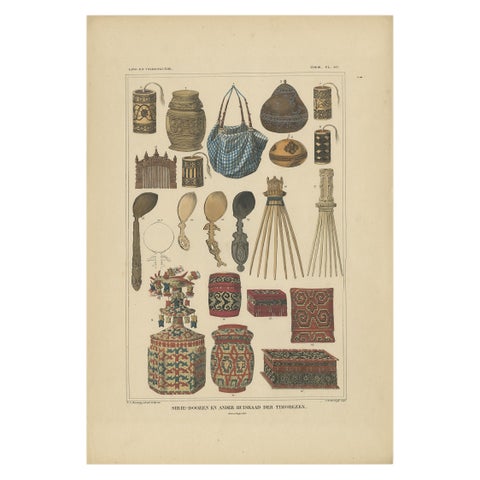
Set of 7 Decorative Antique Prints of Borneo, Timor and Papua Culture, ca. 1840
1840 · 31 × 45 cm£1,785
Maps and Sea Charts · Borneo
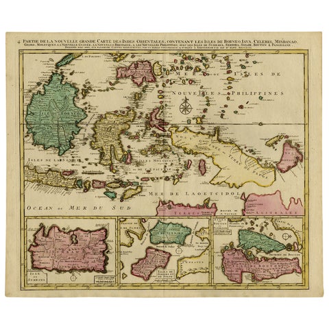
Old Map of Indonesian Islands Borneo, Celebes, New Guinea & New Britain, 1792
1792 · 66 × 55.3 cm£1,215
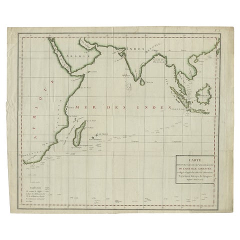
Maps and Sea Charts · Java
Old Map of Indian Ocean & Sumatra, Java, Borneo, India, Arabia, Africa, c.1783
1783 · 64.5 × 53 cm£1,170
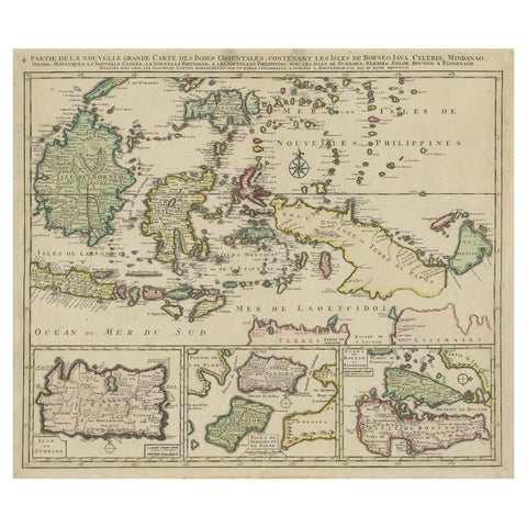
Maps and Sea Charts · Borneo
Old Map of the East Indonesian Islands Borneo, Celebes, New Guinea, Bali, 1792
1792 · 64.5 × 55 cm£1,045
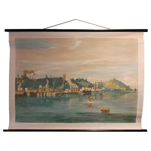
Maps and Sea Charts · Borneo
Vintage Wall Chart of Balikpapan 'Indonesia', circa 1920
1920 · 115 × 85 cm£835
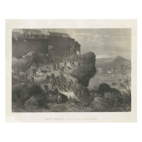
The Company · Borneo
Rare Old Lithograph of the Assault of a Fort in Borneo, Indonesia, ca.1850
1850 · 53 × 41 cm£795
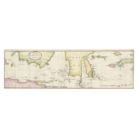
Maps and Sea Charts · Java
Rare Chart of Indonesia Including Borneo, Java, Celebes, Ceram and More, 1779
1779 · 74.5 × 23 cm£745
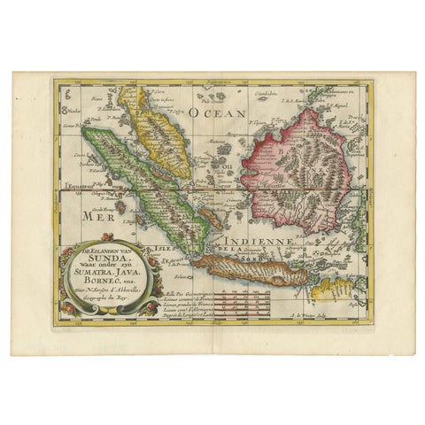
Maps and Sea Charts · Java
Antique Map of the Sunda Islands Including Sumatra, Java, and Borneo, 1705
1705 · 30.2 × 22 cm£720

Maps and Sea Charts · Java
Rare Small Map of Sumatra, Java, Borneo, Macassar, Madura, Bali, 1614
1614 · 24 × 18 cm£630
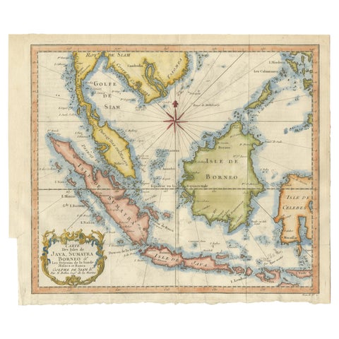
Maps and Sea Charts · Java
Java, Sumatra & Borneo Map, Bellin & van Schley Decorative Chart, 1750s
Date not stated · 32 × 26.5 cm£545
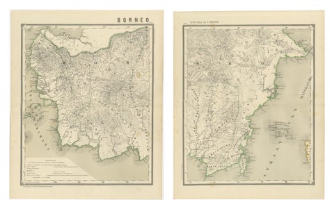
Maps and Sea Charts · Borneo
Antique Map Set of Western & Southern Borneo, Dutch East Indies Era, 1884
1884 · 39 × 48.5 cm£535
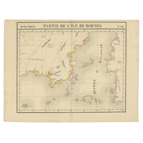
Maps and Sea Charts · Borneo
Antique Map of Part of Borneo 'Kalimantan' Indonesia, by Vandermaelen, C.1825
1825 · 70 × 53 cm£520
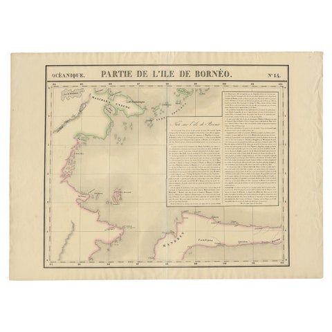
Maps and Sea Charts · Borneo
Antique Map of Part of Borneo 'Kalimantan' Indonesia by Vandermaelen, C.1825
1825 · 72 × 53 cm£520
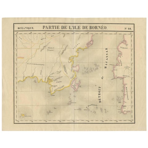
Maps and Sea Charts · Borneo
Antique Map of Southeast Borneo by P.M.G. Vandermaelen, 1827
1827 · 67 × 53 cm£475
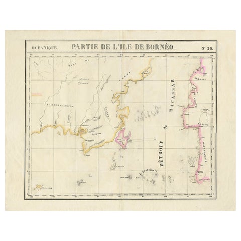
Maps and Sea Charts · Borneo
Detailed Antique Map of a Portion of Borneo and Sulawesi in Indonesia, c.1825
1825 · 69 × 53.5 cm£450
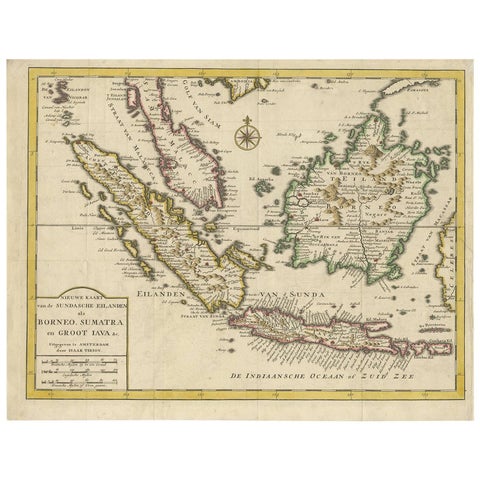
Maps and Sea Charts · Java
Antique Map of the Sunda Islands Sumatra, Java, Malay Peninsula & Borneo (1739)
1739 · 39.5 × 31 cm£450
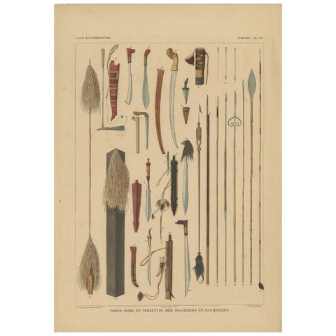
Peoples and Costume · Borneo
Antique Print with Weapons of Borneo 'Indonesia' by Temminck, circa 1840
1840 · 31 × 45 cm£375
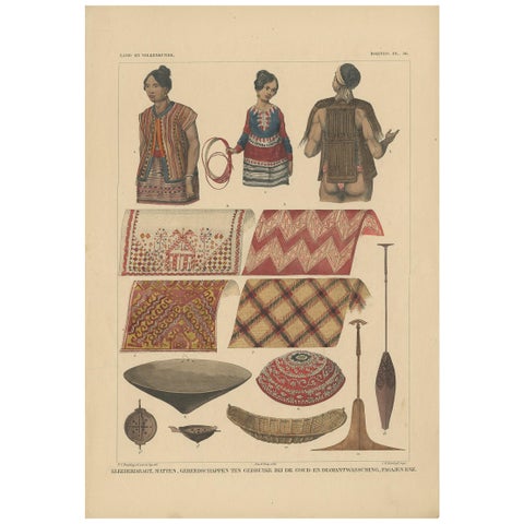
Peoples and Costume · Borneo
Print with Clothes and Utensils of Borneo 'Indonesia' by Temminck, circa 1840
1840 · 31 × 45 cm£375
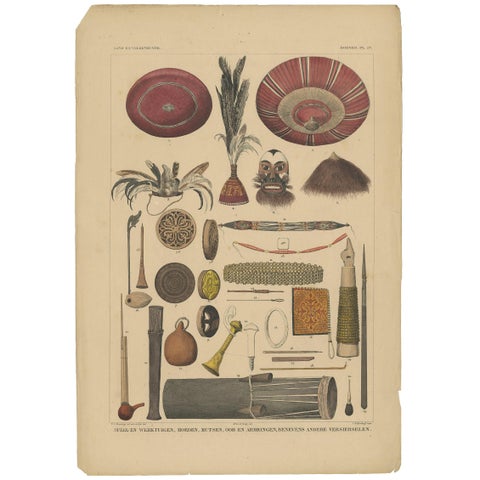
Peoples and Costume · Borneo
Antique Print with Tools from Borneo 'Indonesia' by Temminck, circa 1840
1840 · 31 × 45 cm£375
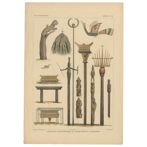
Peoples and Costume · Borneo
Print with Religious Items from Borneo 'Indonesia' by Temminck, circa 1840
1840 · 31 × 45 cm£375
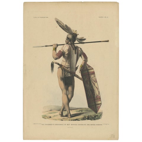
Peoples and Costume · Borneo
Antique Print with a Native of Borneo ‘Indonesia’ by Temminck, circa 1840
1840 · 31 × 45 cm£375
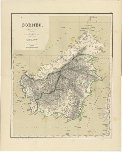
Maps and Sea Charts · Borneo
Rare Antique Map of Borneo (Kalimantan), Dutch East Indies Colonial Era, 1884
1884 · 39 × 48.5 cm£370
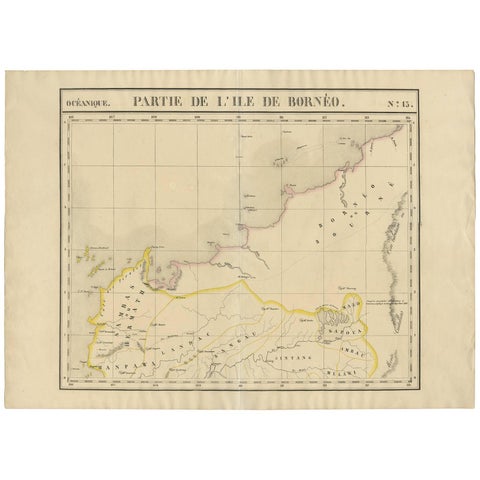
Maps and Sea Charts · Borneo
Antique Map of Borneo and Malaysia by P.M.G. Vandermaelen, 1827
1827 · 72.8 × 53 cm£330
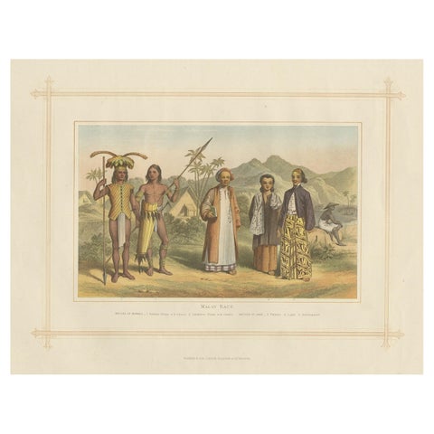
Peoples and Costume · Borneo
Antique Chromolithograph Depicting Native Malays, Incl Dayaks of Borneo, 1882
1882 · 35.5 × 28 cm£300
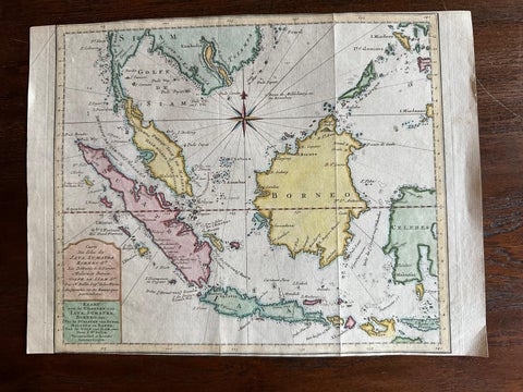
Maps and Sea Charts · Java
Original Map of the East Indies Including Sumatra, Java, Borneo & Malaysia, 1755
1755 · 33 × 24.5 cm£295
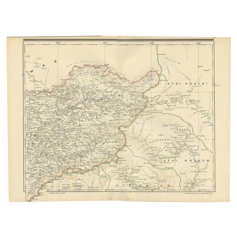
Maps and Sea Charts · Borneo
Antique Map of West Kalimantan (Schwaner Mountains), Borneo, Indonesia, 1900
1900 · 52.3 × 38.9 cm£275
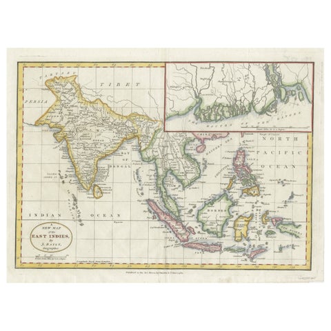
Maps and Sea Charts · Java
1782 Map of the East Indies, India, Siam, Philippines, Java, Borneo, Ganges
1782 · 34.5 × 26 cm£275
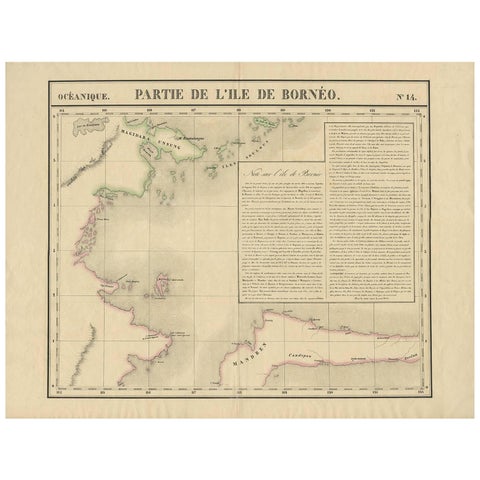
Maps and Sea Charts · Borneo
Antique Map of North East Borneo and North Sulawesi by P.M.G. Vandermaelen
Date not stated · 69.6 × 53.3 cm£235
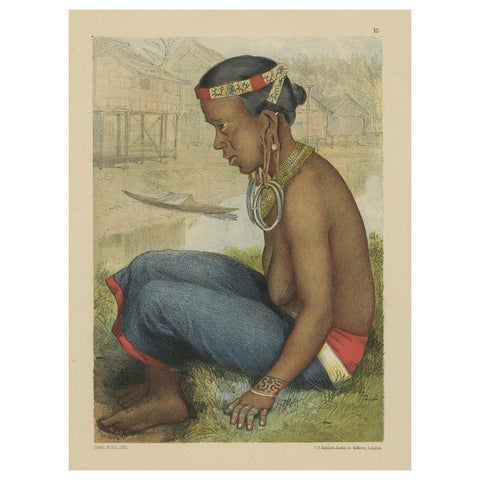
Peoples and Costume · Borneo
Antique Print of a Tring Dayak Woman from Borneo Island, Indonesia, 1881
1881 · 8.7 × 11.4 cm£235
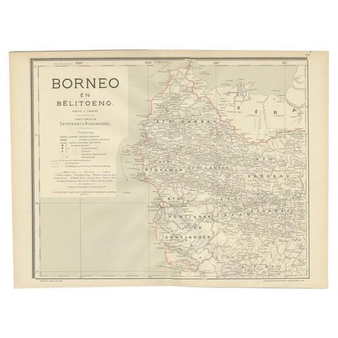
Maps and Sea Charts · Borneo
Antique Map of West Kalimantan, Borneo, Indonesia, 1900
1900 · 51.5 × 38.9 cm£215
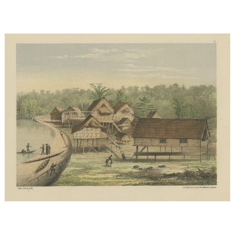
Towns and Landscapes · Borneo
Old Print of Houses of Longwai, West Kutai Regency, East Kalimantan, Indonesia
Date not stated · 28.5 × 22 cm£200
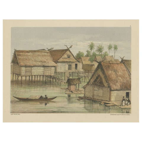
Towns and Landscapes · Borneo
Print of Tenggarong in East-Kalimantan on The Island of Borneo, Indonesia, 1881
1881 · 29 × 22 cm£200
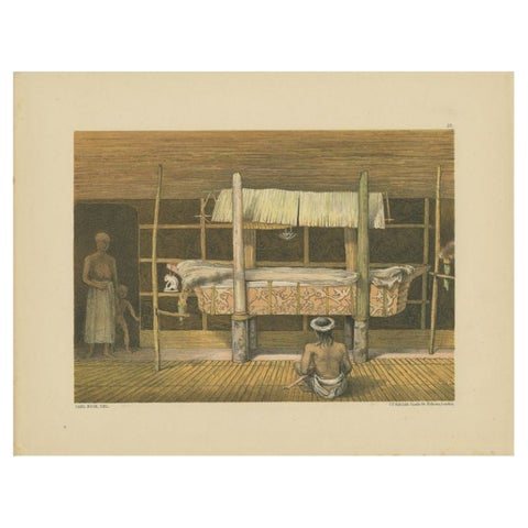
Peoples and Costume · Borneo
Antique Print of the 'Katafalk' of the Dayak Chief in Borneo, Indonesia, 1881
1881 · 29 × 22 cm£185
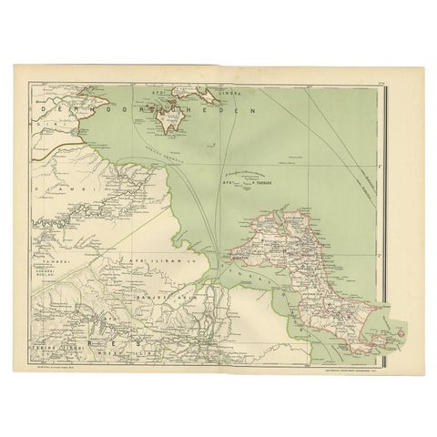
Maps and Sea Charts · Borneo
Antique Map of the Region of Banjarmasin, Indonesia 1900
1900 · 53.1 × 38.9 cm£185
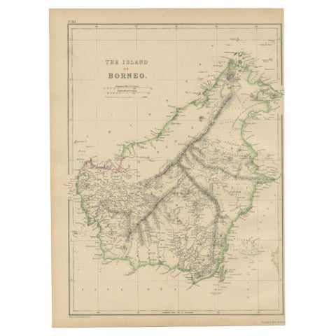
Maps and Sea Charts · Borneo
Antique Map of the Island of Borneo by W. G. Blackie, 1859
1859 · 27 × 37 cm£165
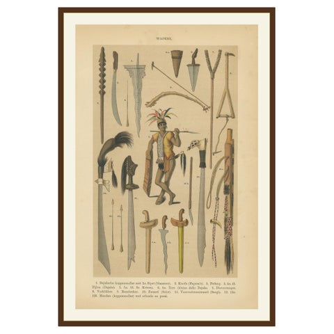
Peoples and Costume · Java
Antique Print, Javanese & Dayak Weapons, Spears, Kris & Ceremonial Arms, 1860
1860 · 16.4 × 24.9 cm£165
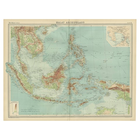
Maps and Sea Charts · Borneo
Old Map of South East Asia Showing the Malay Archipelago, incl Borneo etc, 1922
1922 · 59 × 45.5 cm£160
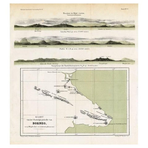
Maps and Sea Charts · Borneo
Antique Map of Eastern Borneo, Indonesia with Views of Mountain Ranges, c.1875
1875 · 24.5 × 27.5 cm£150
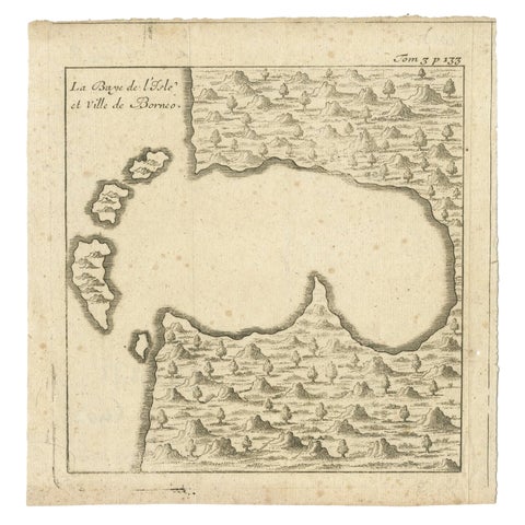
Maps and Sea Charts · Borneo
Antique Map of a Bay of Borneo, Indonesia, c.1760
1760 · 15.5 × 16 cm£115
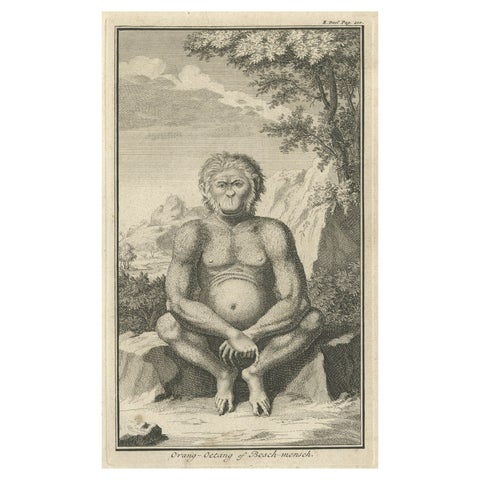
Flora and Fauna · Sumatra
Engraving of an Orang-Utan on Borneo 'Kalimantan' or Sumatra, Indonesia, 1739
1739 · 12 × 19.5 cm£115
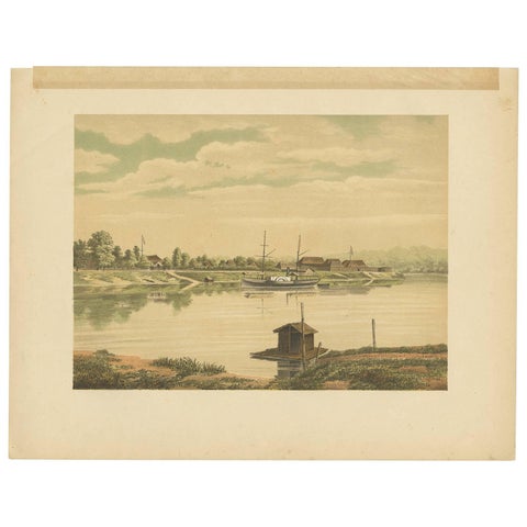
The Company · Borneo
Antique Print of a Steamship at the Barito River by M.T.H. Perelaer, 1888
1888 · 31.5 × 24.2 cm£100
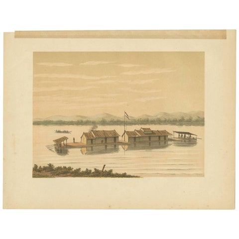
Peoples and Costume · Borneo
Antique Print of a Raft of the Dusun People by M.T.H. Perelaer, 1888
1888 · 31.5 × 24.2 cm£100
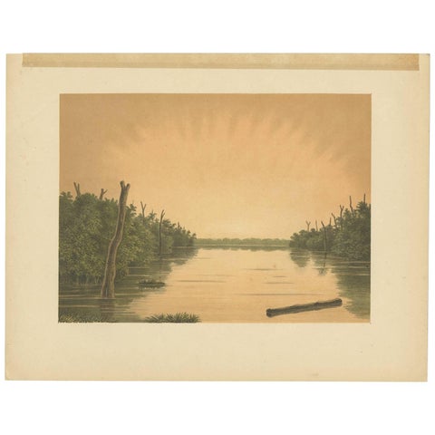
Towns and Landscapes · Borneo
Antique Print of the Paminger Lakes 'Borneo' by M.T.H. Perelaer, 1888
1888 · 31.5 × 24.2 cm£100
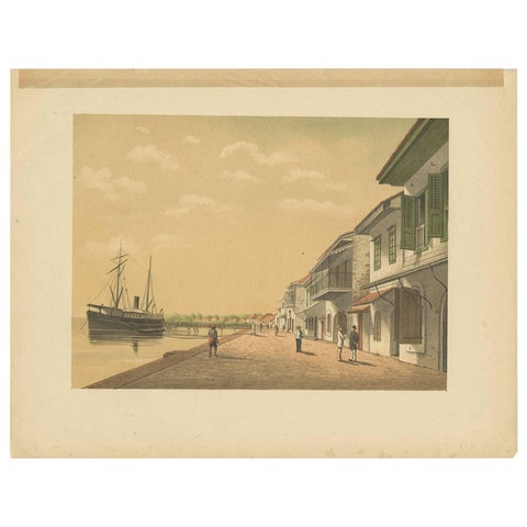
The Company · Borneo
Antique Print of a Steamship at Tanjung Burung by M.T.H. Perelaer, 1888
1888 · 31.5 × 24.2 cm£100
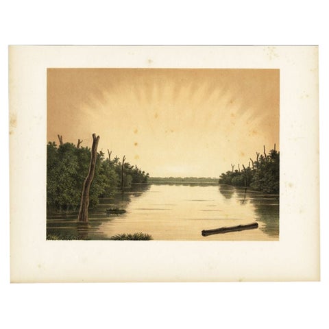
Towns and Landscapes · Borneo
Antique Print of the Paminger Lakes by Perelaer, 1888
1888 · 30.99 × 23.88 cm£80
Borneo in maps and prints
For most of its history on European maps Borneo was a coastline around an empty interior. The Dutch held the south and west, Brunei and later the British the north. Vandermaelen's maps of 1827 and the colonial surveys of the 1880s and 1900 fill the rivers in.
Prints of Borneo show the Dayak peoples, their weapons, tools and houses, and the steamers of the Barito river.
Other islands
Questions
Is Kalimantan the same as Borneo?
Kalimantan is the Indonesian name, used today for the Indonesian part of the island, which was the Dutch part. Old maps call the whole island Borneo.