Netherlands Indies: 1850 and after
Maps and prints of the East Indies printed from 1850 onward. Every one a period original.
70 sheets
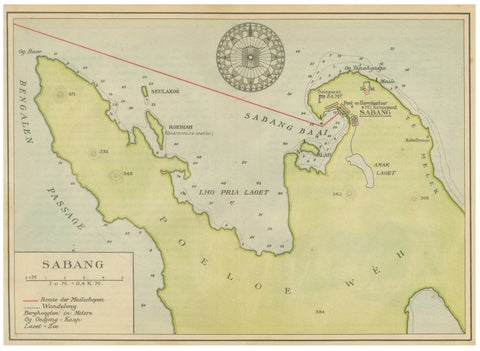
Maps and Sea Charts · Sumatra
Sabang Bay & Pulau Weh, Antique Dutch Colonial Map of Sumatra, Indonesia, 1910
1910 · 24.7 × 17.9 cm$215
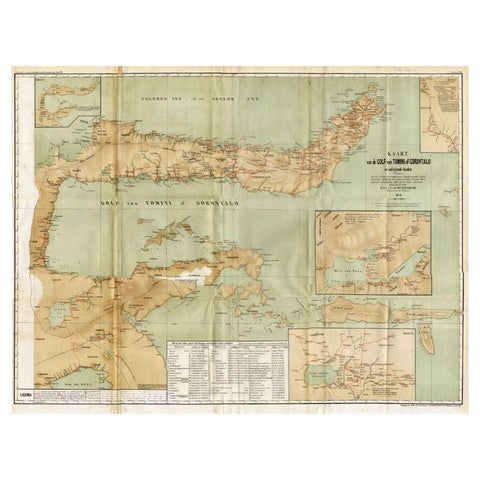
Maps and Sea Charts · Celebes
Antique Map of the Gulf of Tomini by Winkler Prins, 1878
1878 · 92 × 75 cm$205
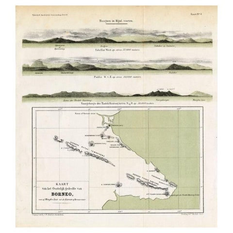
Maps and Sea Charts · Borneo
Antique Map of Eastern Borneo, Indonesia with Views of Mountain Ranges, c.1875
1875 · 24.5 × 27.5 cm$200
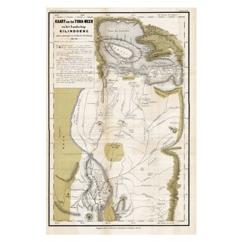
Maps and Sea Charts · Sumatra
Scarce Antique Map of Lake Toba and Silindoeng on Sumatra, Indonesia, c.1875
1875 · 80 × 50 cm$185
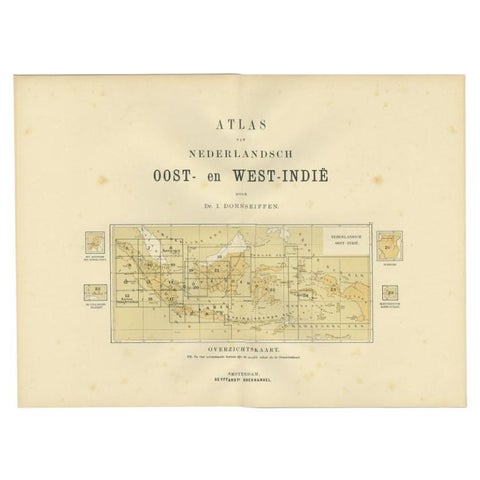
Maps and Sea Charts
Antique Map of the East Indies by Dornseiffen, 1900
1900 · 52.4 × 38.7 cm$155
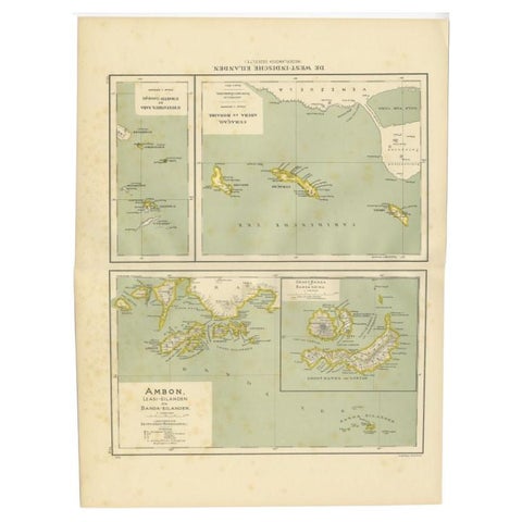
Maps and Sea Charts · Moluccas
Antique Map of the West Indies and Ambon in Indonesia, 1900
1900 · 38.7 × 51.9 cm$155
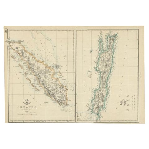
Maps and Sea Charts · Java
Antique Map of Sumatra and Java by Weller, c.1860
1860 · 47 × 32.5 cm$150
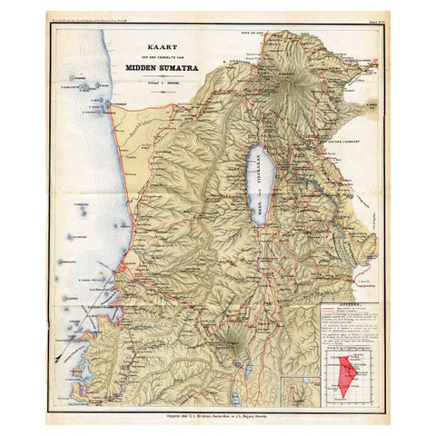
Maps and Sea Charts · Sumatra
Antique Map of Part of Sumatra by Stemler, c.1875
1875 · 45 × 56 cm$140
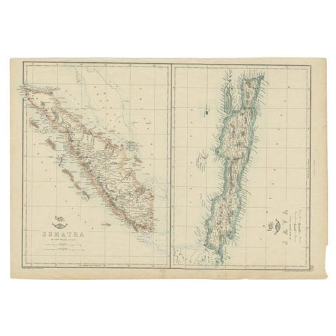
Maps and Sea Charts · Java
Antique Map of Sumatra and Java by Weller, c.1860
1860 · 48.5 × 34 cm$140
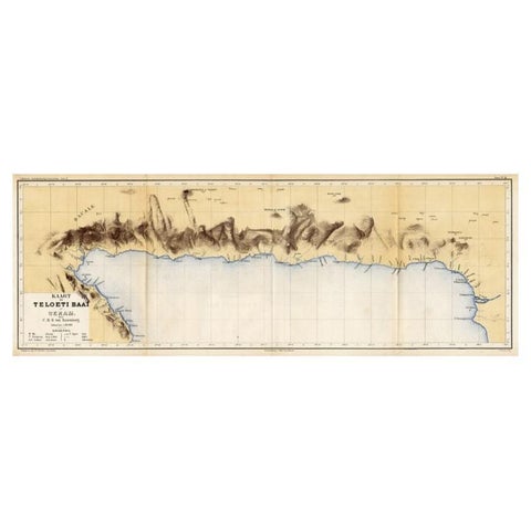
Maps and Sea Charts · Moluccas
Antique Map of Taluti Bay by Stemler, C.1875
1875 · 76 × 27.5 cm$140
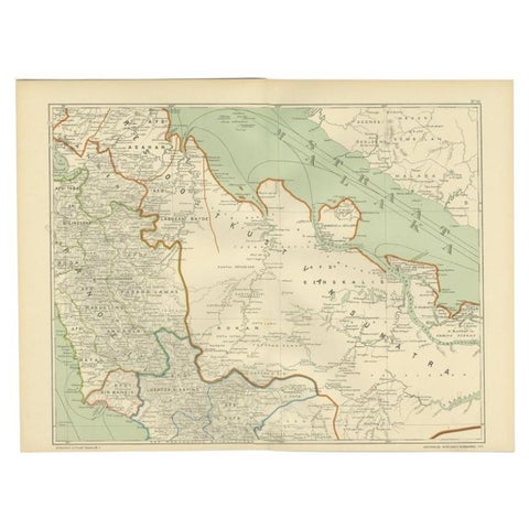
Maps and Sea Charts · Sumatra
Antique Map of the East Coast of Sumatra , Indonesia, 1900
1900 · 51.5 × 38.9 cm$130
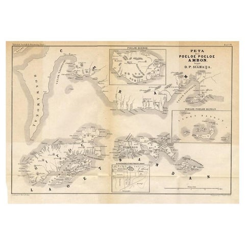
Maps and Sea Charts · Moluccas
Antique Map of the Maluku Islands 'Ambon' by Stemler, 1874
1874 · 46.5 × 32 cm$110
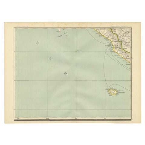
Maps and Sea Charts · Sumatra
Antique Map of the Region of Bengkulu in Indonesia, 1900
1900 · 52.4 × 38.7 cm$105
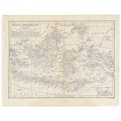
Maps and Sea Charts
Antique Map of the Malay Archipelago by Walker, 1911
1911 · 27 × 21.5 cm$100
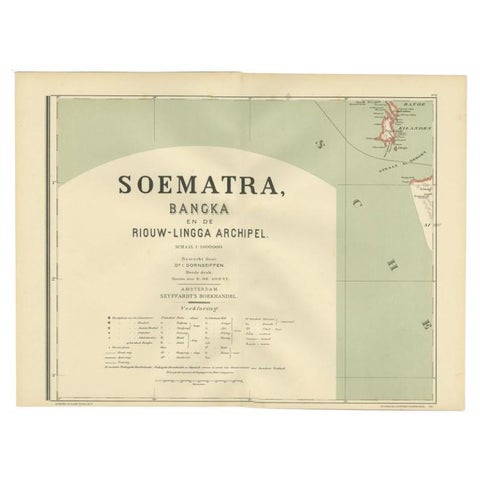
Maps and Sea Charts · Sumatra
Antique Map of the Batu Islands by Dornseiffen, 1900
1900 · 52 × 38.9 cm$95
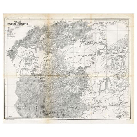
Maps and Sea Charts
Antique Map of the District of Boemi Agoeng by Stemler, c.1875
1875 · 52 × 42 cm$85
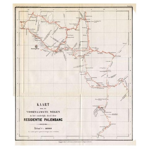
Maps and Sea Charts · Sumatra
Antique Map of the Main Roads of Palembang by Stemler, c.1875
1875 · 37 × 42.5 cm$85
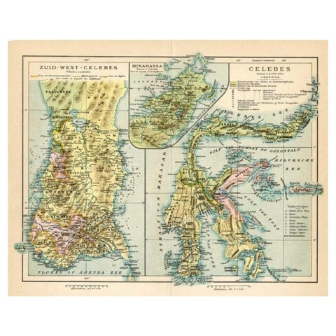
Maps and Sea Charts · Celebes
Antique Map of Sulawesi by Winkler Prins, c.1900
1900 · 31.5 × 25 cm$80
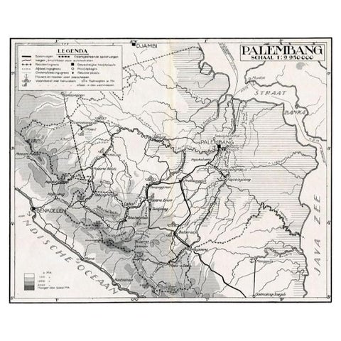
Maps and Sea Charts · Sumatra
Antique Map of the Palembang Area, c.1900
1900 · 31 × 24 cm$80
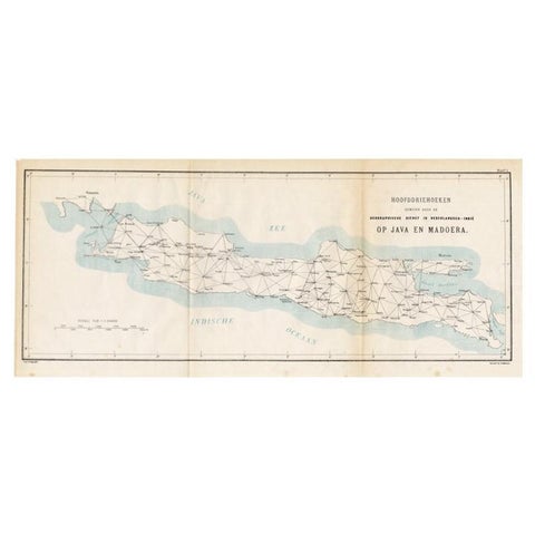
Maps and Sea Charts · Java
Old Map of Java, Indonesia by Stemler, 1875
1875 · 59 × 27.5 cm$80
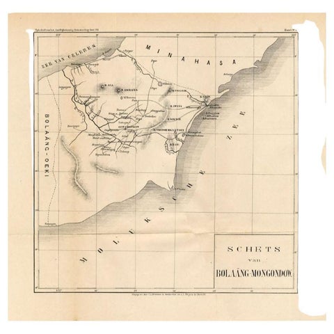
Maps and Sea Charts · Celebes
Antique Map of the Bolaang Mongondow District on Sulawesi by Stemler, c.1875
1875 · 39 × 38 cm$70
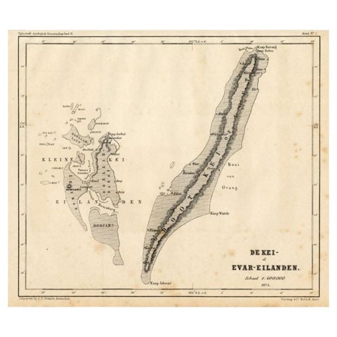
Maps and Sea Charts · Moluccas
Antique Map of the Kai Islands by Stemler, c.1875
1875 · 27.5 × 22 cm$70