Netherlands Indies: 1850 and after
Maps and prints of the East Indies printed from 1850 onward. Every one a period original.
70 sheets
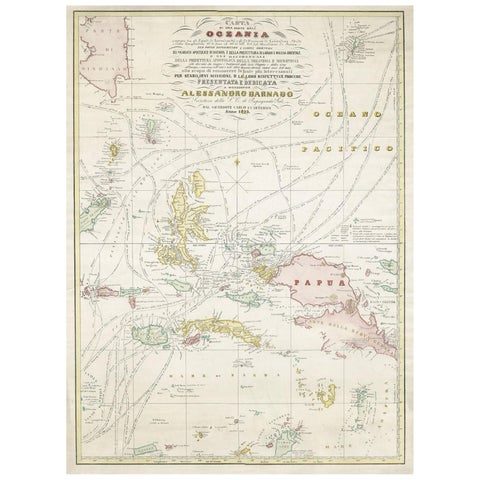
Maps and Sea Charts · Moluccas
Large Italian Map of Islands of Oceania, incl Papua, Timor, Banda, Ceram, 1855
1855 · 54 × 74 cm£2,220
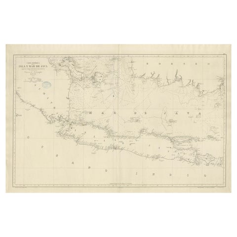
Maps and Sea Charts · Java
Large Chart of the island and sea of Java, Indonesia
1863 · 103 × 69.2 cm£2,095
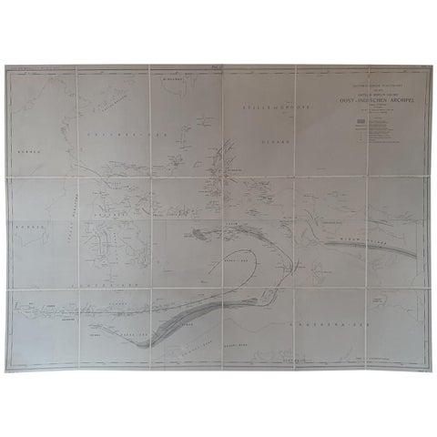
Maps and Sea Charts
Large Antique Map of the East Indies by Brouwer, 1917
1917 · 126 × 90 cm£1,005
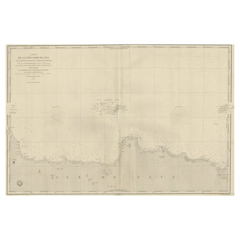
Maps and Sea Charts · Java
Early French Nautical Chart of the Northern Coast of of Java, Indonesia, C.1850
1850 · 98 × 67 cm£965
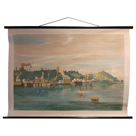
Maps and Sea Charts · Borneo
Vintage Wall Chart of Balikpapan 'Indonesia', circa 1920
1920 · 115 × 85 cm£835
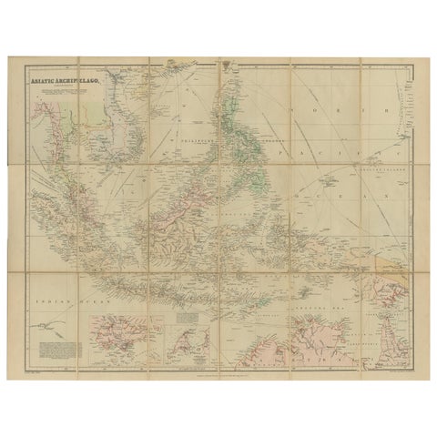
Maps and Sea Charts
Antique Map of the Asiatic Archipelago by E. Stanford, circa 1910
1910 · 57 × 52 cm£835
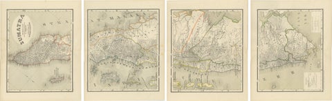
Maps and Sea Charts · Sumatra
An Impressive Four-Sheet Map Set of Sumatra from the Dutch East Indies, 1884
1884 · 39 × 48.5 cm£645
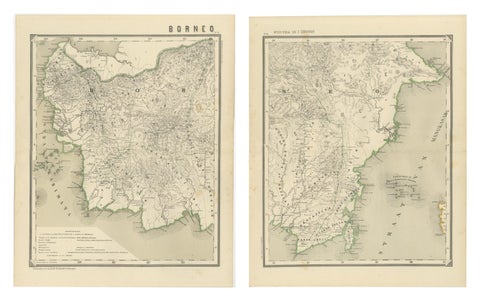
Maps and Sea Charts · Borneo
Antique Map Set of Western & Southern Borneo, Dutch East Indies Era, 1884
1884 · 39 × 48.5 cm£535
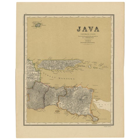
Maps and Sea Charts · Java
Antique Map of Java in 4 sheets by Dornseiffen, 1884
1884 · 39 × 49 cm£495
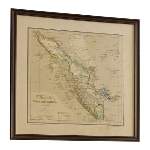
Maps and Sea Charts · Sumatra
Antique Map of Sumatra, Bangka Belitung and Riau in the Dutch East Indies, 1884
1884 · 48.5 × 39 cm£370
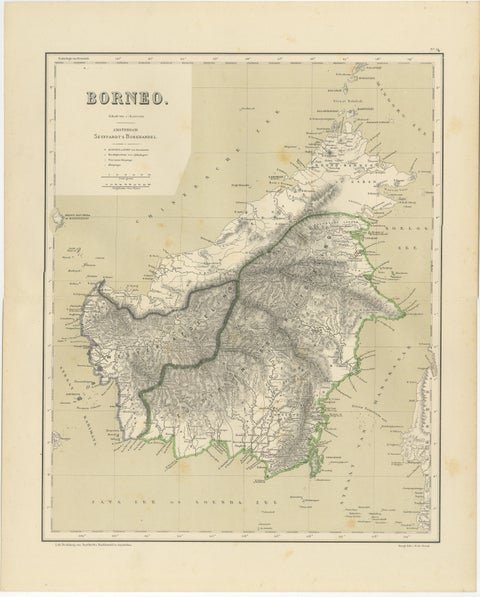
Maps and Sea Charts · Borneo
Rare Antique Map of Borneo (Kalimantan), Dutch East Indies Colonial Era, 1884
1884 · 39 × 48.5 cm£370
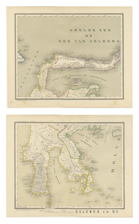
Maps and Sea Charts · Celebes
Antique Two-Sheet Map of Celebes Sulawesi, Dornseiffen, Dutch East Indies, 1884
1884 · 48.5 × 39 cm£370
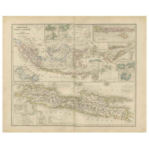
Maps and Sea Charts · Java
Netherlands East Indies Map with Java Inset, Nieuwe Hand-Atlas, 1876
1876 · 55 × 44 cm£345
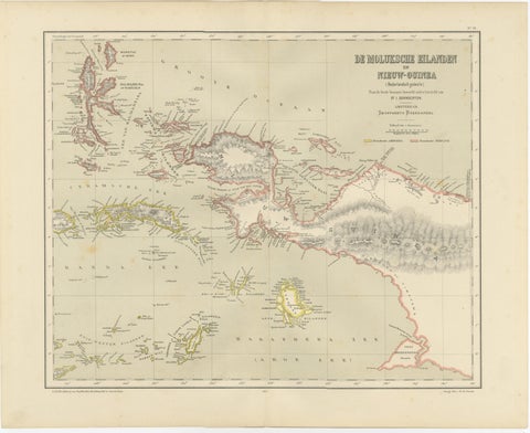
Maps and Sea Charts · Moluccas
Antique Colonial Dutch Map of the Moluccas & New Guinea by Dornseiffen, 1884
1884 · 48.5 × 39 cm£325
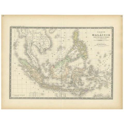
Maps and Sea Charts
Antique Map of the East Indies by Levasseur, 1875
1875 · 61 × 47.5 cm£310
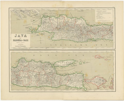
Maps and Sea Charts · Java
Old Map of Java, Madura & Bali, Dutch East Indies Colonial Cartography, 1884
1884 · 48.5 × 39 cm£300
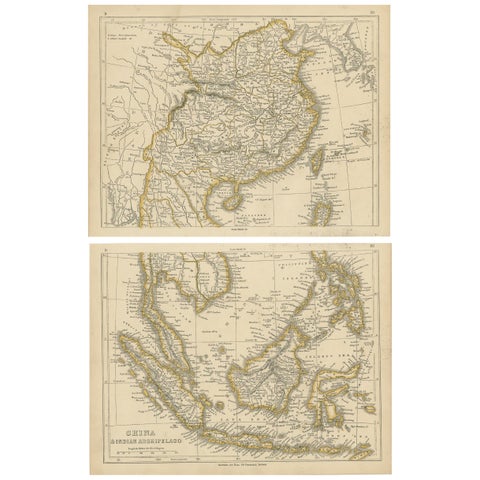
Maps and Sea Charts
Antique Map of China and the East Indies by Lowry, 1852
1852 · 31 × 24.5 cm£295
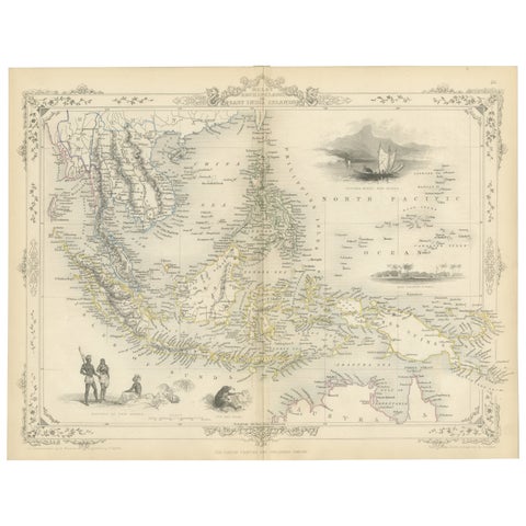
Maps and Sea Charts
Antique Map of the Malay Archipelago with Images of Indigenous People, 1851
1851 · 36.2 × 27.2 cm£285
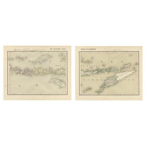
Maps and Sea Charts · Lesser Sunda
Antique Two-Sheet Map of the Lesser Sunda Islands, Dutch East Indies, 1884
1884 · 39 × 48.5 cm£285
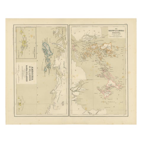
Maps and Sea Charts · Sumatra
Antique Map of Riouw, Lingga Archipelago, Singapore, Banda by Dornseiffen, 1884
1884 · 48.5 × 39 cm£285
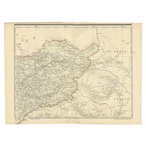
Maps and Sea Charts · Borneo
Antique Map of West Kalimantan (Schwaner Mountains), Borneo, Indonesia, 1900
1900 · 52.3 × 38.9 cm£275
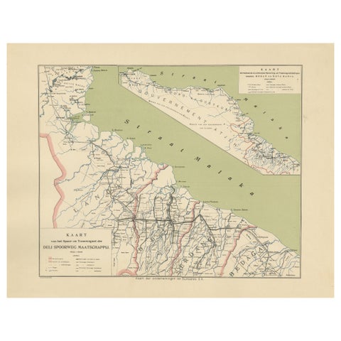
Maps and Sea Charts · Sumatra
Deli Railway System Map, East Sumatra, Deli Spoorweg Maatschappij, c.1910
1910 · 45 × 34 cm£275
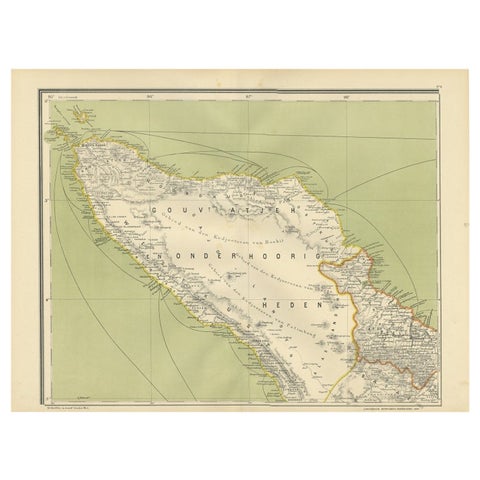
Maps and Sea Charts · Sumatra
Antique Map of Aceh or Adjeh in Northern Sumatra, Indonesia, 1900
1900 · 52.2 × 38.9 cm£245
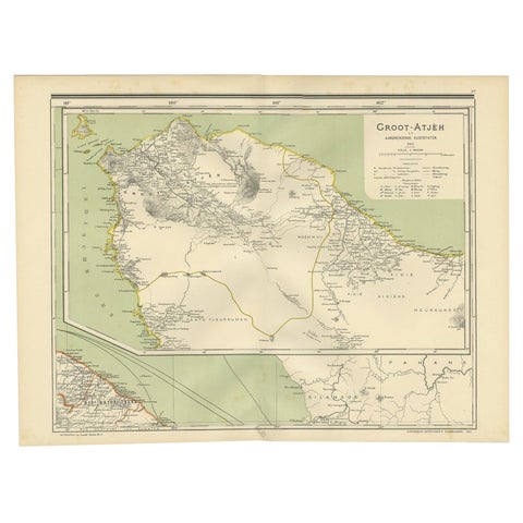
Maps and Sea Charts · Sumatra
Antique Map of Aceh in Sumatra, Indonesia, 1900
1900 · 52 × 38.9 cm£245
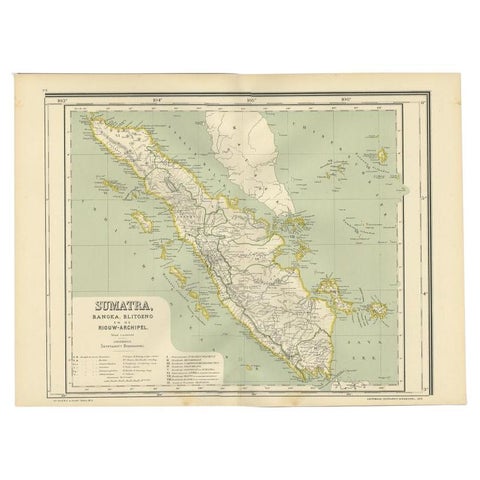
Maps and Sea Charts · Sumatra
Antique Map of West Sumatra, Indonesia, 1900
1900 · 53.8 × 38.9 cm£245
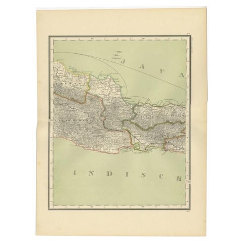
Maps and Sea Charts · Java
Antique Map of Part of Java, Indonesia, 1900
1900 · 38.9 × 51.7 cm£245
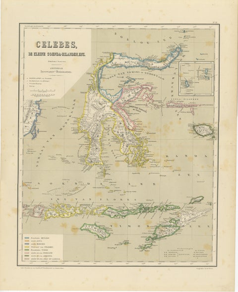
Maps and Sea Charts · Celebes
Antique Colonial Map of Celebes Sulawesi & Lesser Sunda Islands, 1884
1884 · 39 × 48.5 cm£245
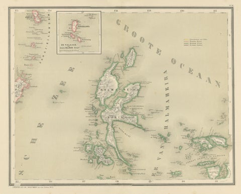
Maps and Sea Charts · Moluccas
Antique Map of Halmahera, Ternate, Tidore, Moluccas by Dornseiffen, 1884
1884 · 39 × 48.5 cm£245
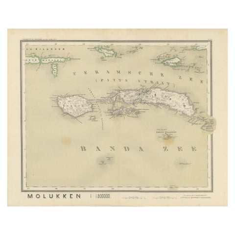
Maps and Sea Charts · Moluccas
Antique Map of Ceram, Ambon, Banda, Buru, Moluccas by Dornseiffen, 1884
1884 · 39 × 48.5 cm£245
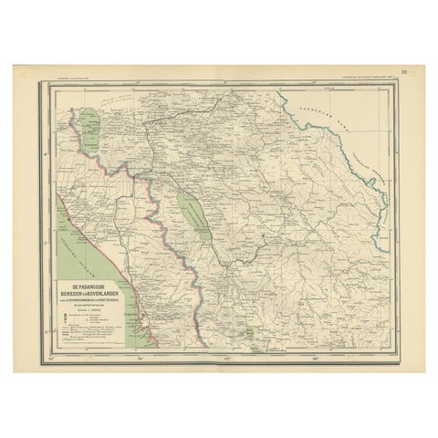
Maps and Sea Charts · Sumatra
Antique Map of Padang, Sumatra, Indonesia, 1900
1900 · 53 × 38 cm£235
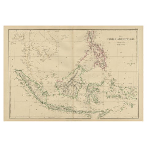
Maps and Sea Charts
Antique Map of the East Indies by W. G. Blackie, 1859
1859 · 54 × 37 cm£230
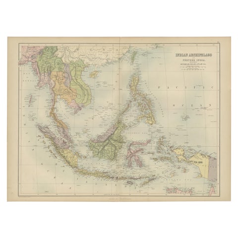
Maps and Sea Charts
Antique Map of the East Indies by A & C. Black, 1870
1870 · 60 × 44.5 cm£230
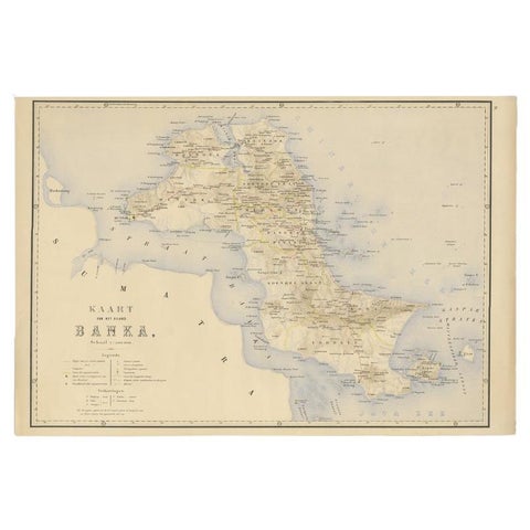
Maps and Sea Charts · Sumatra
Antique Map of Bangka Island, Indonesia, 1885
1885 · 63 × 48 cm£230
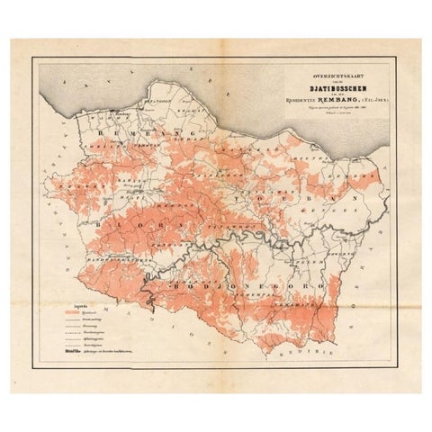
Maps and Sea Charts · Java
Antique Map of the Djati 'teak wood' Forest Near Rembang, Java by Stemler, 1875
1875 · 40 × 34.5 cm£225
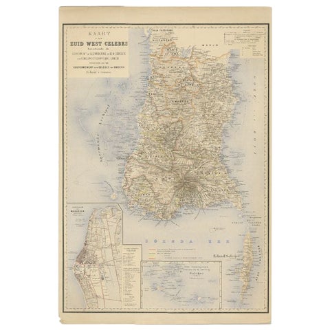
Maps and Sea Charts · Celebes
Antique Map of Southern Sulawesi by Stemfoort, 1885
1885 · 48 × 63 cm£220
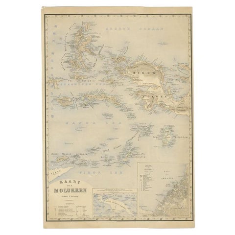
Maps and Sea Charts · Moluccas
Antique Map of the Moluccas by Stemfoort, 1885
1885 · 48 × 61.5 cm£220
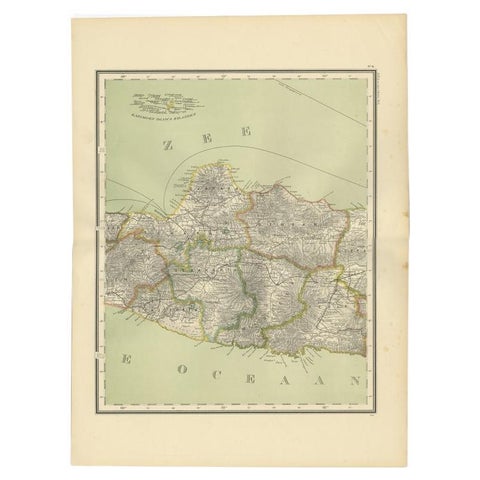
Maps and Sea Charts · Java
Antique Map of Central Java Depicting The Karimun Islands, Indonesia, 1900
1900 · 38.9 × 52.1 cm£220
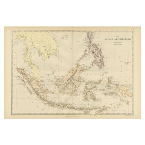
Maps and Sea Charts
1882 Antique Map of Indian Archipelago, Southeast Asia, Blackie & Son
1882 · 57 × 38 cm£220
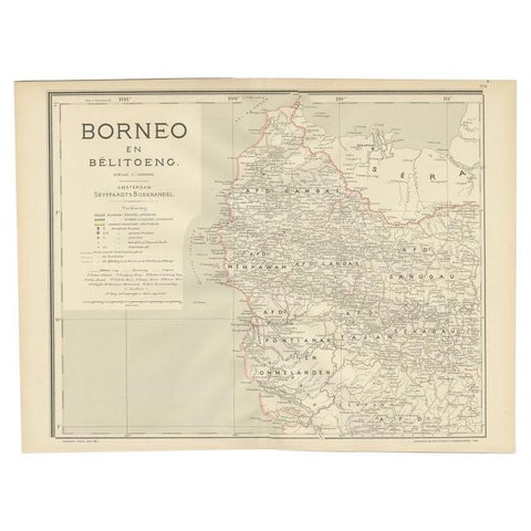
Maps and Sea Charts · Borneo
Antique Map of West Kalimantan, Borneo, Indonesia, 1900
1900 · 51.5 × 38.9 cm£215
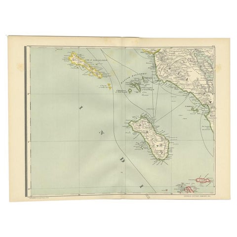
Maps and Sea Charts · Sumatra
Antique Map of the Nias Archipelago, Sumatra, Indonsia, 1900
1900 · 52.6 × 38.9 cm£200
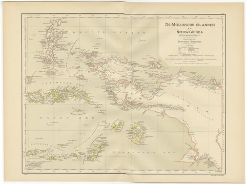
Maps and Sea Charts · Moluccas
Antique Map of the Moluccas and Irian Jaya (Papua), Indonesia, 1900
1900 · 52.2 × 38.9 cm£185
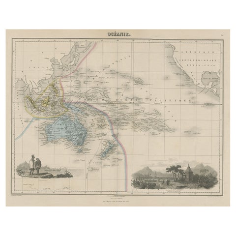
Maps and Sea Charts
Old Map of the Oceans Around Australia, Indonesia and New Zealand, 1880
1880 · 47.5 × 34.5 cm£185
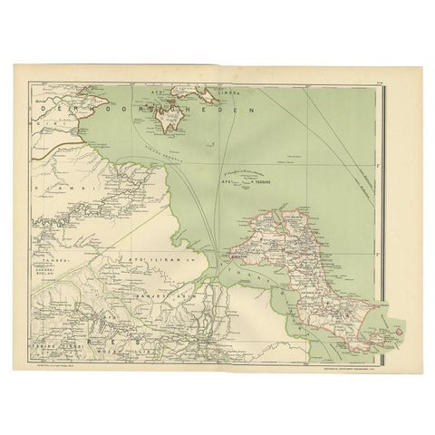
Maps and Sea Charts · Borneo
Antique Map of the Region of Banjarmasin, Indonesia 1900
1900 · 53.1 × 38.9 cm£185
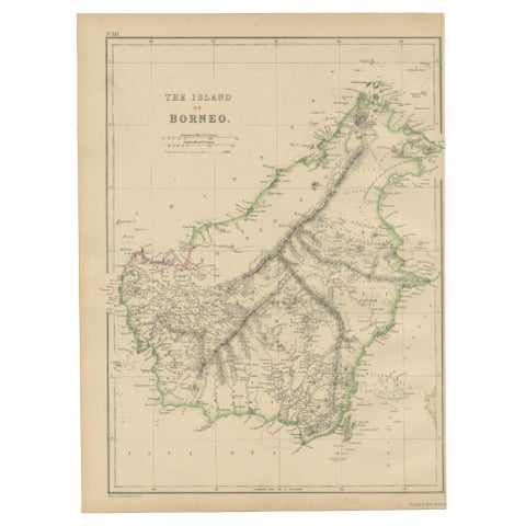
Maps and Sea Charts · Borneo
Antique Map of the Island of Borneo by W. G. Blackie, 1859
1859 · 27 × 37 cm£165
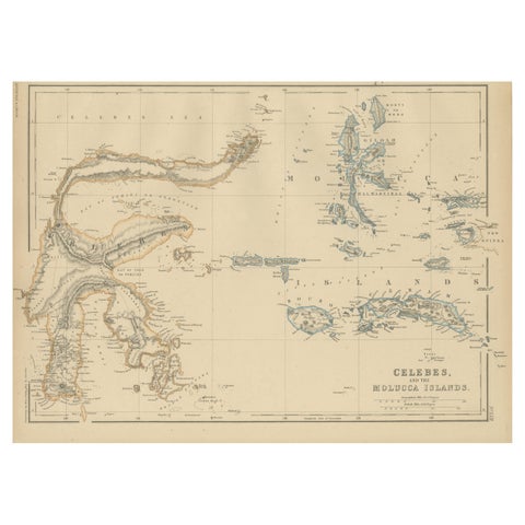
Maps and Sea Charts · Celebes
Antique Map of Celebes and the Maluku Islands by W. G. Blackie, 1859
1859 · 37 × 27 cm£165
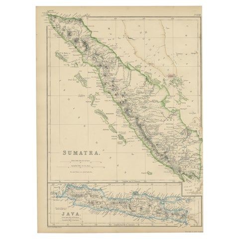
Maps and Sea Charts · Sumatra
Antique Map of Sumatra by W. G. Blackie, 1859
1859 · 27 × 37 cm£165
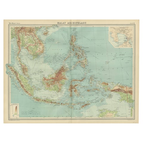
Maps and Sea Charts · Borneo
Old Map of South East Asia Showing the Malay Archipelago, incl Borneo etc, 1922
1922 · 59 × 45.5 cm£160
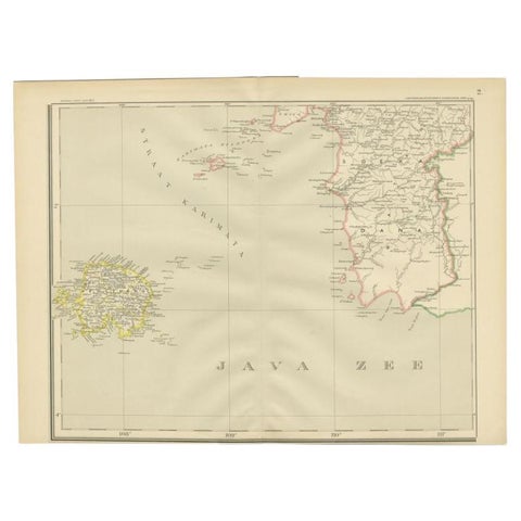
Maps and Sea Charts · Java
Antique Map of the Java Sea by Dornseiffen, 1900
1900 · 52.4 × 38.6 cm£160