The Company: 1700 to 1799
Maps and prints of the East Indies printed between 1700 and 1799. Every one a period original.
318 sheets
The Company
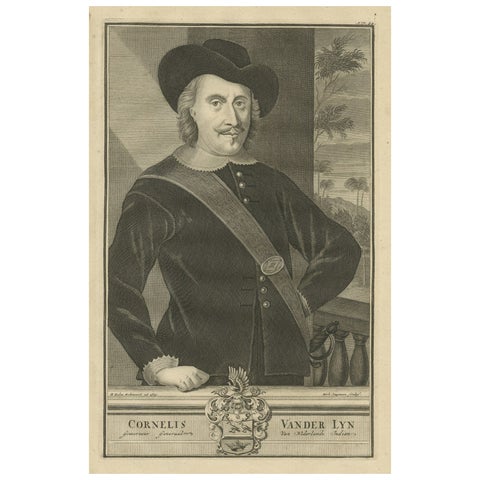
Governor-General Vander Lyn of the Dutch East Indies, Patron of Exploration 1724
1724 · 20.5 × 33.5 cm£235
The Company
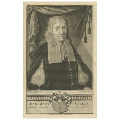
Portrait of Ioan Maat Suyker: Governor-General of the Dutch East Indies, 1724
1724 · 20.5 × 33.5 cm£235
The Company
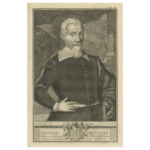
Hendrik Brouwer: Eminent Navigator and Governor-General of the VOC, 1724
1724 · 20.5 × 33.5 cm£235
The Company
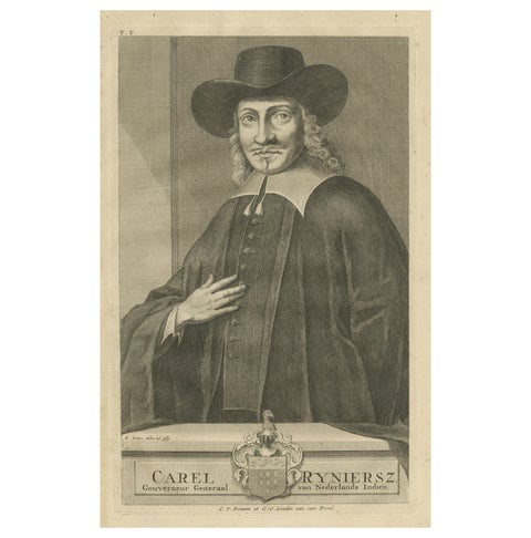
Carel Reyniersz: Esteemed Governor-General of the VOC, Dutch East Indies, 1724
1724 · 20.5 × 33.5 cm£235
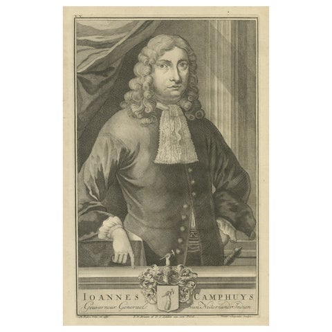
The Company
Ioannes Camphuys: Venerable Governor-General of the VOC, Dutch East Indies, 1724
1724 · 20.5 × 33.5 cm£235
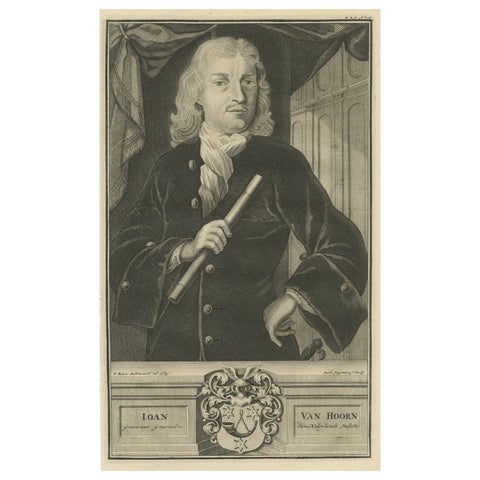
The Company
Ioan Van Hoorn: Esteemed Governor-General of the VOC, Dutch East Indies, 1724
1724 · 20.5 × 33.5 cm£235
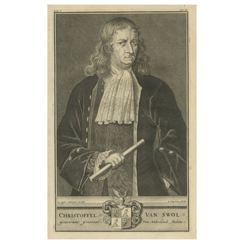
The Company
Engraving of Distinguished Governor-General of the VOC Christoffel van Swol 1724
1724 · 20.5 × 33.5 cm£235
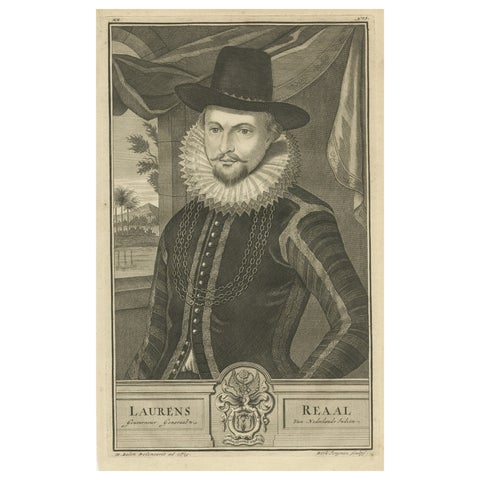
The Company
Laurens Reaal: Eminent Governor-General of the VOC in the Dutch East Indies 1724
1724 · 20.5 × 33.5 cm£235
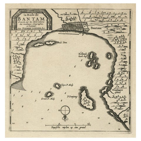
Maps and Sea Charts · Java
Antique Map of Banten Bay on Java Island, Indonesia, c.1720
1720 · 19.4 × 30.3 cm£230
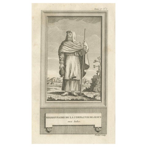
Peoples and Costume
Jesuit Missionary in the Indies, Antique French Engraving by Portier, c.1790
1790 · 12.5 × 20 cm£225
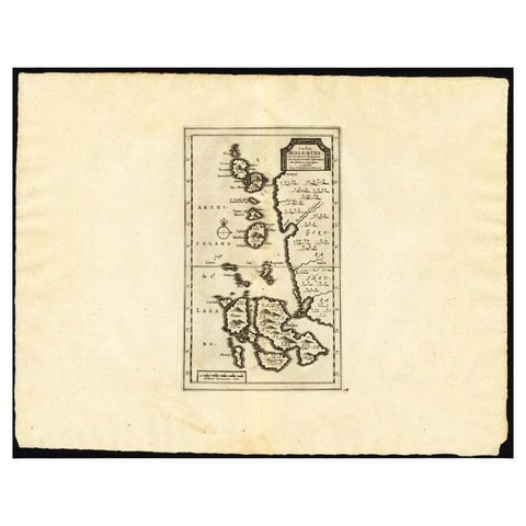
Maps and Sea Charts · Moluccas
Antique Map of the Maluku Islands by Van der Aa, 1725
1725 · 49 × 38 cm£220
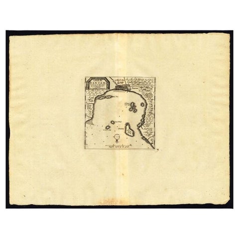
Maps and Sea Charts · Java
Antique Map of the Roadstead of Bantam by Van der Aa, 1725
1725 · 49 × 38 cm£220
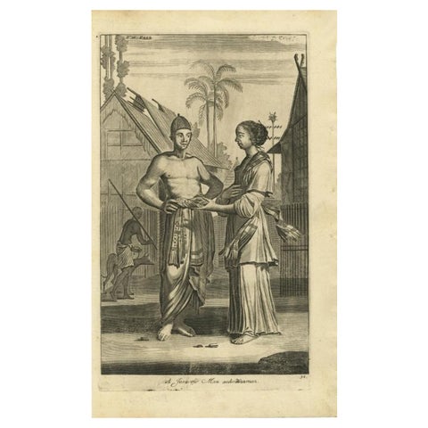
Peoples and Costume · Java
Antique Engraving of Javanese Man and Woman in Indonesia, 1744
1744 · 21.09 × 34.55 cm£220
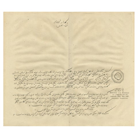
The Company · Moluccas
Antique Engraving of a Letter Written by the King of Batjan, Moluccas, 1726
1726 · 40 × 34 cm£220
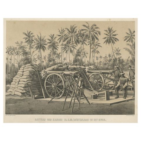
The Company
Antique Print Depicting a Military Scene with Canons, in Indonesia, 1784
1784 · 31 × 23.5 cm£220
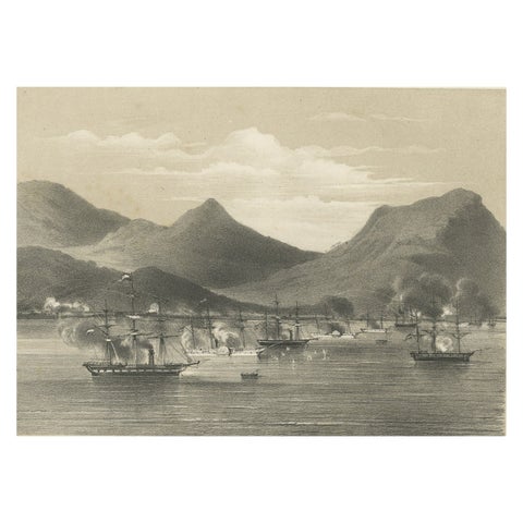
The Company · Sumatra
Old Military Scene of Dutch Ships Bombing Atchin in Sumatra, Indonesia, 1784
1784 · 31 × 23 cm£220
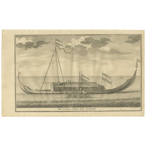
The Company · Moluccas
Antique Print of the Coracora Fleet by Valentijn, 1726
1726 · 34 × 21 cm£210
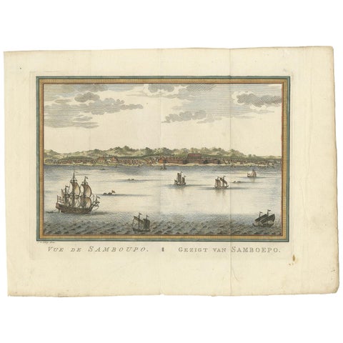
Towns and Landscapes · Celebes
Antique Print of Samboupo ‘Sulawesi, Indonesia’ by J. van Schley, 1750
1750 · 36 × 27 cm£210
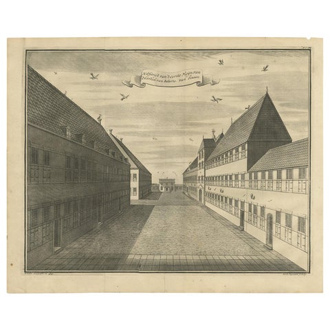
The Company · Java
Antique Print of the First Square of the Castle of Batavia by Valentijn, '1726'
1726 · 41.5 × 33 cm£210
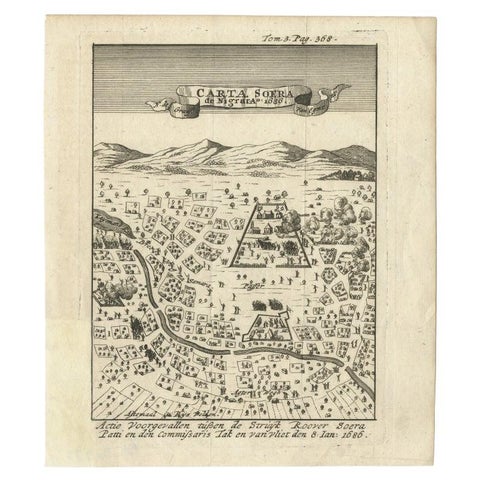
Maps and Sea Charts · Java
Antique Map of Carta Soura, Headquarter of the Javanese Nobility, 1706
1706 · 17 × 19.6 cm£210
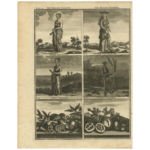
Towns and Landscapes
Antique Print with Various Asian Scenes ‘Incl. Indonesia’ by C. De Bruin, 1728
1728 · 18.7 × 24 cm£200
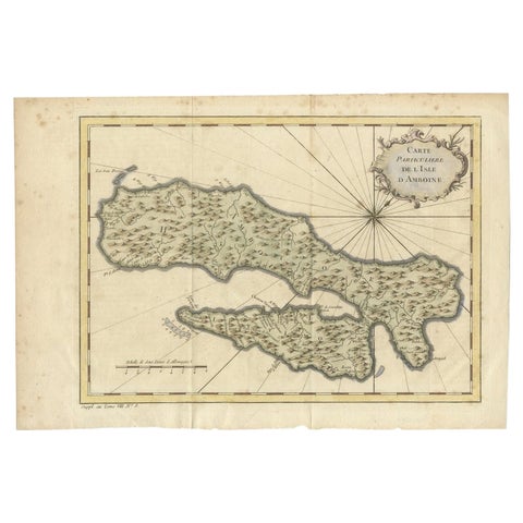
Maps and Sea Charts · Moluccas
Antique Map of Ambon Island in the Moluccas, Indonesia, c.1760
1760 · 36.5 × 25 cm£200
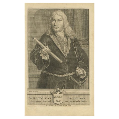
The Company
Antique Portrait of VOC Governor Willem van Outhoorn, 1726
1726 · 20 × 33 cm£200
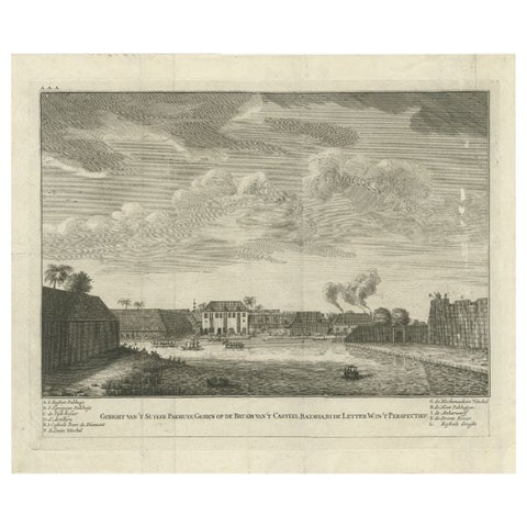
Towns and Landscapes · Java
Antique Print of the Sugar Warehouse of Batavia (Jakarta), Indonesia, 1726
1726 · 39.6 × 32.9 cm£200
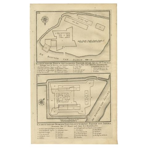
The Company · Java
Antique Print of the Fortifications of Demak and Jepara, Java, Indonesia, 1726
1726 · 21 × 33 cm£200
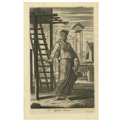
Peoples and Costume · Moluccas
A Mestizo Woman from Ternate, Indonesia, 1744
1744 · 22 × 33 cm£195
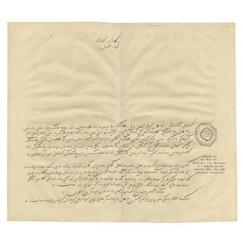
The Company · Moluccas
Engraving of a Letter Written by the King of Batsjan, Moluccas, Valentijn, 1726
1726 · 40 × 34 cm£195
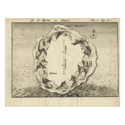
Maps and Sea Charts · Moluccas
Antique Map of Macjan or Makian Island in the Moluccas, Indonesia, c.1740
1740 · 16 × 21 cm£195
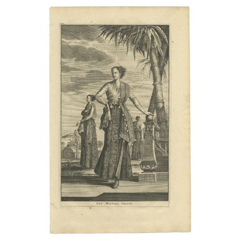
Peoples and Costume
Antique Print of a 'Mistice' Woman by Valentijn, 1726
1726 · 21 × 34 cm£195
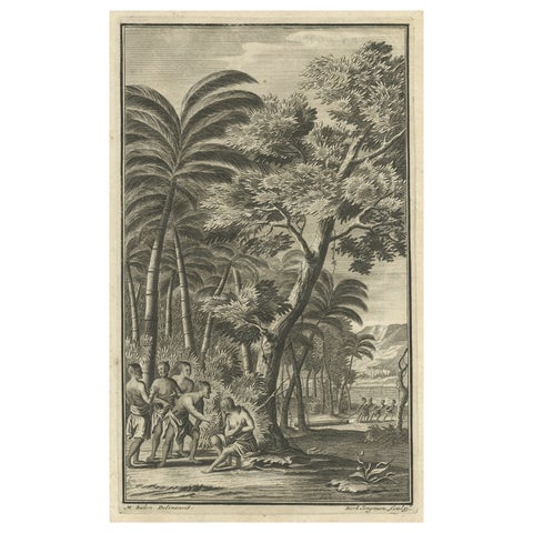
The Company
Antique Print of Commander de Graauw by Valentijn, 1726
1726 · 21 × 33.5 cm£195
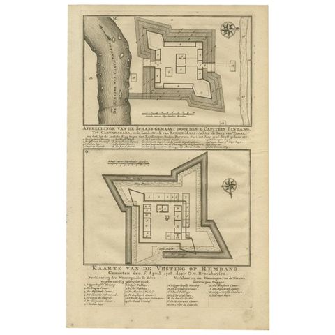
The Company · Java
Old Print of the Rembang Fortress of Captain E. Bintang on Java, Indonesia, 1726
1726 · 20.5 × 33 cm£195
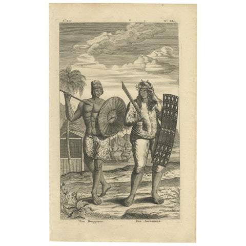
Peoples and Costume · Celebes
Antique Print of a Buginese and Ambonese Man by Valentijn, 1726
1726 · 21 × 34 cm£185
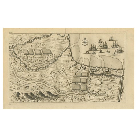
Towns and Landscapes · Java
Antique Print of the Region around Pasuruan Indonesia by Valentijn, 1726
1726 · 33 × 21 cm£185
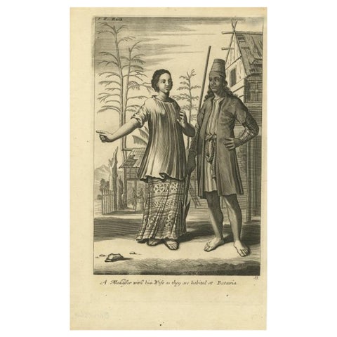
Peoples and Costume · Java
A Makasser Man with his Wife as they are Habited at Batavia, Indonesia, c1744
1744 · 21.34 × 34.55 cm£185
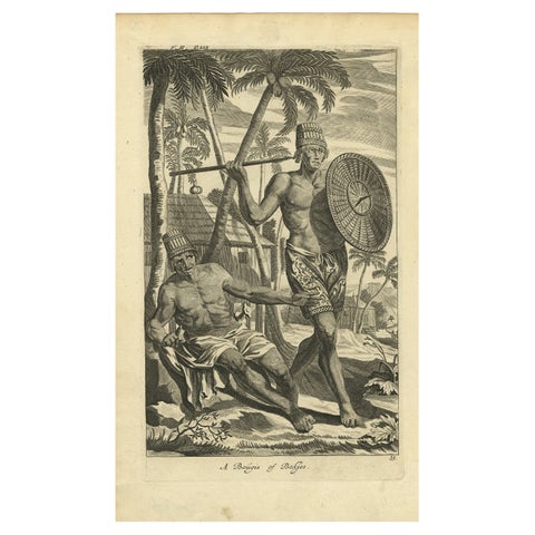
Peoples and Costume · Java
Engraving of Buginese people near Batavia, East Indies, Indonesia, 1744
1744 · 21.09 × 34.55 cm£185
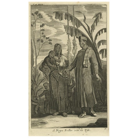
Peoples and Costume
Old Print of A Pedler in Indonesia with Wife and Children, 1744
1744 · 21.09 × 34.55 cm£185
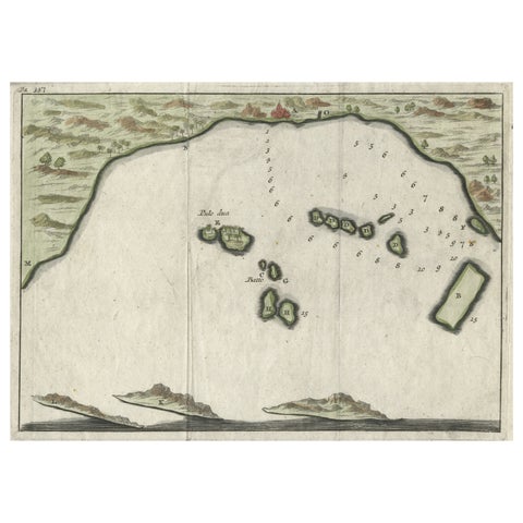
Maps and Sea Charts · Java
Small Early 18th Century Map of Banten Bay on the Island Java, Indonesia, c.1725
1725 · 21.8 × 16 cm£185
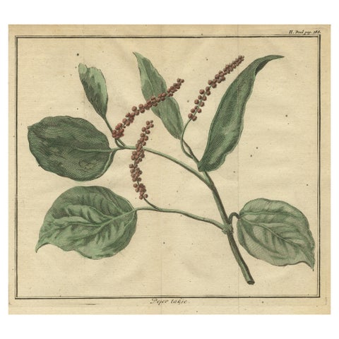
Flora and Fauna
Old Hand-Colored Copper Engraving of a Pepper Branch, 1739
1739 · 21.7 × 20 cm£185
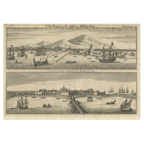
Towns and Landscapes · Java
Antique Print of Batavia 'Jakarta', in the Dutch East Indies, 1744
1744 · 40.5 × 25 cm£185
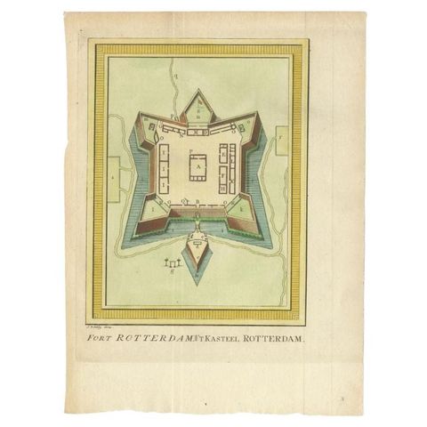
The Company · Celebes
Antique Print of Fort Rotterdam in Makassar 'Ujung Pdang', Sulawesi, Indonesia
circa 1760 · 19 × 26 cm£185
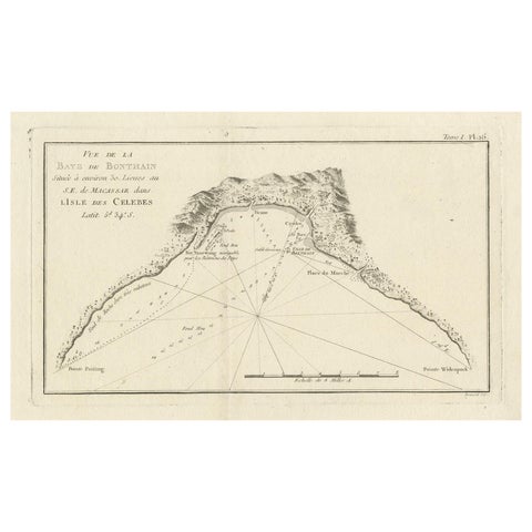
Maps and Sea Charts · Celebes
Antique Map of Bonthain Bay, Sulawesi, Celebes
circa 1774 · 38 × 27.3 cm£185
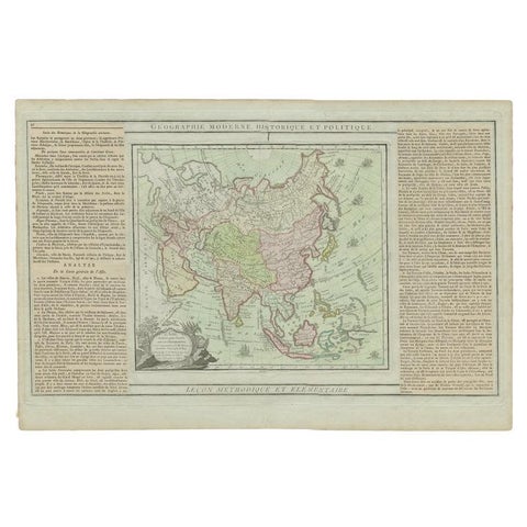
Maps and Sea Charts
Antique Map of Asia Showing all of Indonesia and the Marianas, 1790
1790 · 50.5 × 33.5 cm£180
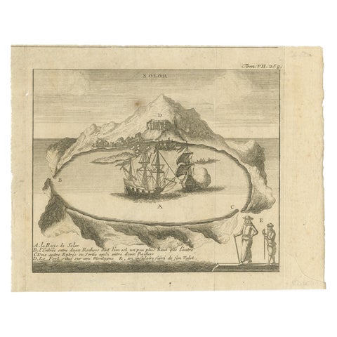
Towns and Landscapes · Lesser Sunda
Solor Island View, Indonesian Harbor Engraving, French Voyage Plate c.1700
1700 · 21 × 15 cm£175
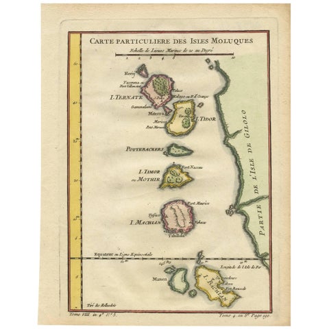
Maps and Sea Charts · Moluccas
Antique Map of the Moluques Islands, Part of Indonesia, circa 1750
1750 · 19.4 × 25.2 cm£175
Towns and Landscapes · Sumatra
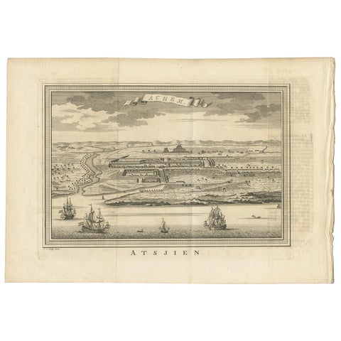
Antique Print of Atjeh by Van der Schley '1756'
1756 · 37 × 25.5 cm£165
The Company · Java
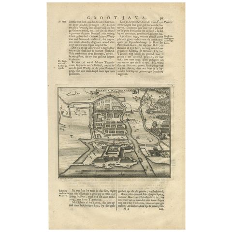
Antique Print of the Siege of Batavia by Valentijn, '1726'
1726 · 21 × 33 cm£165
Towns and Landscapes · Java
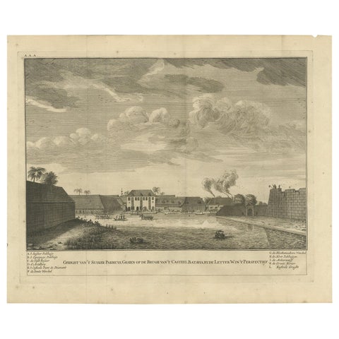
Antique Print of the Sugar Warehouse of Batavia by Valentijn, '1726'
1726 · 41 × 33.5 cm£165
Maps and Sea Charts · Moluccas
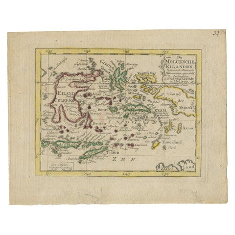
Antique Miniature Map of the Maluku Islands by Van Esveldt & Holtrop 'c.1790'
1790 · 16 × 12.5 cm£165