Collection
Maps and Sea Charts
Maps and charts of the archipelago from Münster's woodcut of Sumatra of about 1590 to the Dornseiffen atlas of 1884: Blaeu and Janssonius, Valentijn's island maps of 1726, Bellin and Mannevillette for the French navy, and the town plans of Batavia.
18 sheets
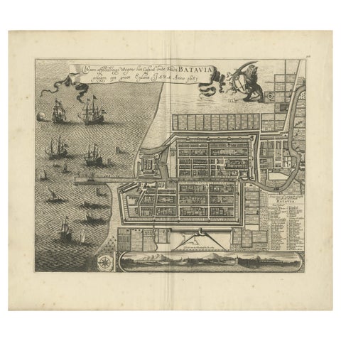
Maps and Sea Charts · Java
Rare 1681 Map of Batavia: Detailed Dutch Colonial Era Cartography, 1681
1681 · 62 × 53.5 cm$6,605
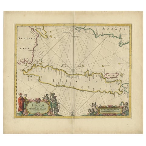
Maps and Sea Charts · Java
Antique Map of the Island Java, Indonesia, c.1650
1650 · 54 × 61.5 cm$3,640
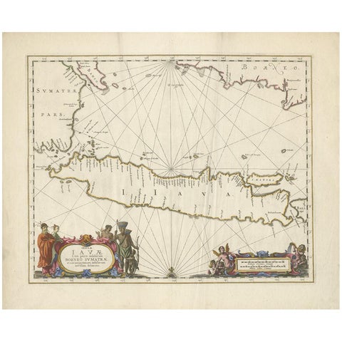
Maps and Sea Charts · Java
Antique Map of Java by Janssonius, circa 1650
1650 · 62 × 51.5 cm$3,300
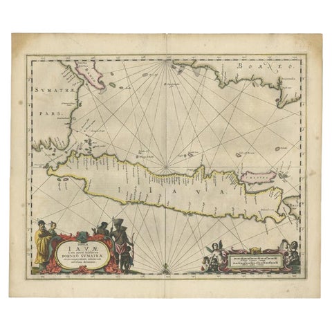
Maps and Sea Charts · Java
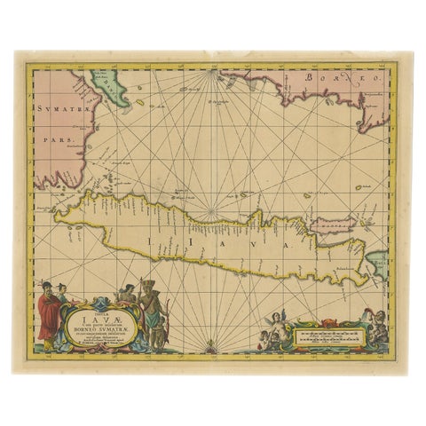
Antique Map of Java and Part of Borneo, Indonesia, c.1657
1657 · 49.5 × 58 cm$3,080
Maps and Sea Charts · Java
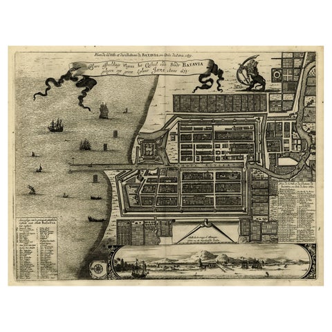
Antique Map of Java in The Dutch East Indies, Now Indonesia, c.1690
1690 · 46 × 55 cm$3,080
Maps and Sea Charts · Java
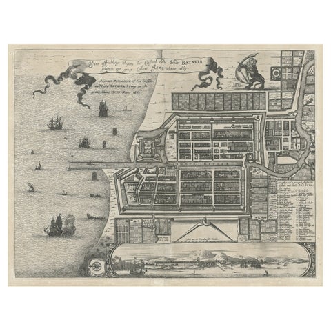
Antique Map of Batavia, Dutch East Indies, Nowadays Jakarta, Indonesia, ca.1669
1669 · 37.5 × 32.2 cm$1,510
Maps and Sea Charts · Java
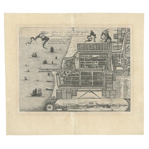
Antique Plan of the Castle & City of Batavia 'Jakarta' on Java, Indonesia, c1669
1669 · 44.5 × 39 cm$1,400
Maps and Sea Charts · Java
Antique Map of Batavia 'Jakarta', Indonesia by Montanus, circa 1669
1669 · 44.5 × 39 cm$1,400
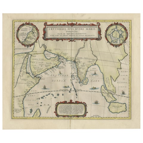
Maps and Sea Charts · Java
Old Map of Ancient Times covering Egypt Towards Arabia and India to Java, c.1660
1660 · 57 × 49.5 cm$1,230
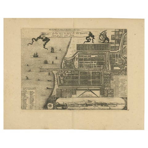
Maps and Sea Charts · Java
1728 Map of Batavia Castle & City, Java, Van der Aa after 1669
1728 · 46.5 × 36.6 cm$985

Maps and Sea Charts · Java
Rare Small Map of Sumatra, Java, Borneo, Macassar, Madura, Bali, 1614
1614 · 24 × 18 cm$840
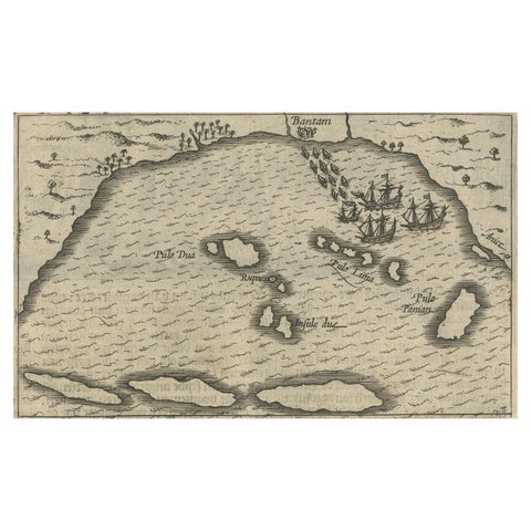
Maps and Sea Charts · Java
Small Map of Bantam with Dutch Ships and an Engraving of Portugese, 1614
1614 · 24 × 18 cm$840
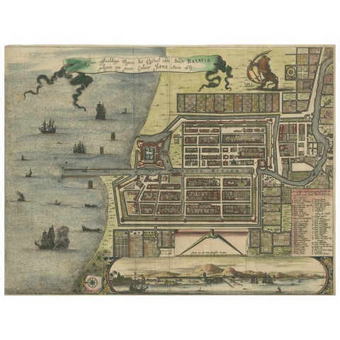
Maps and Sea Charts · Java
Rare 17th Century Map of Batavia and Castle on Java by Isaac de l'Obel
circa 1681 · 36 × 27.1 cm$740
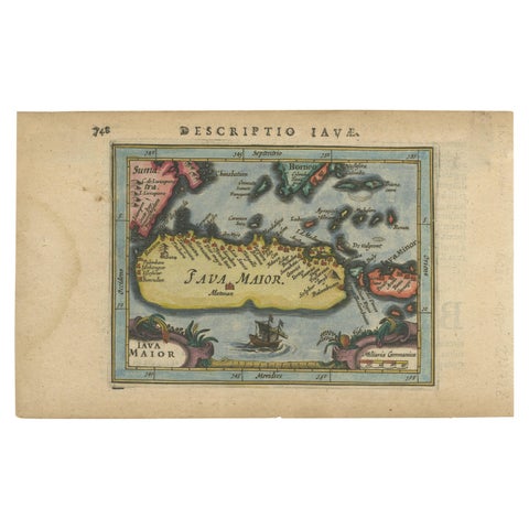
Maps and Sea Charts · Java
Antique Miniature Map of Java by Bertius '1618'
1618 · 20 × 12.5 cm$730
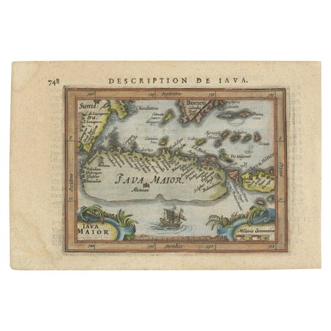
Maps and Sea Charts · Java
Antique Miniature Map of Java by Bertius/Hondius '1618'
1618 · 18 × 12.5 cm$615
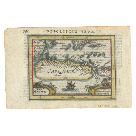
Maps and Sea Charts · Java
Rare 16th Century Original Handcolored Miniature Map of Java, Indonesia, 1616
1616 · 19 × 12.5 cm$550
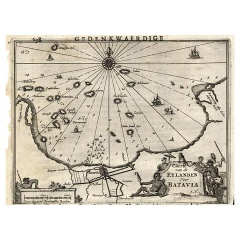
Maps and Sea Charts · Java
Antique Map of the Islands Near Batavia, Capital of the Dutch East Indies, 1682
1682 · 19 × 30 cm$340
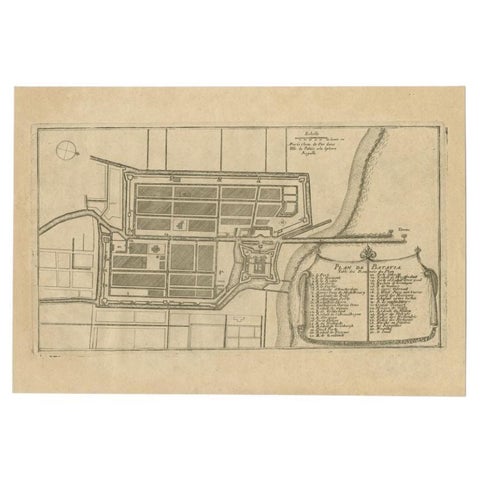
Maps and Sea Charts · Java
Antique Plan of Batavia in the Dutch East Indies or Indonesia, circa 1695
1695 · 32.5 × 22 cm$325