Collection
Maps and Sea Charts
Maps and charts of the archipelago from Münster's woodcut of Sumatra of about 1590 to the Dornseiffen atlas of 1884: Blaeu and Janssonius, Valentijn's island maps of 1726, Bellin and Mannevillette for the French navy, and the town plans of Batavia.
6 sheets
Maps and Sea Charts · Sumatra
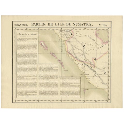
Antique Map of West Sumatra by P.M.G. Vandermaelen, 1827
1827 · 69.6 × 53.4 cm€495
Maps and Sea Charts · Sumatra
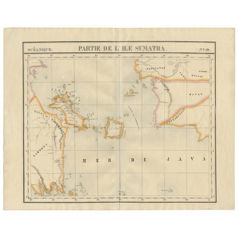
Antique Map of South Sumatra by P.M.G. Vandermaelen, 1827
1827 · 67.4 × 53 cm€495
Maps and Sea Charts · Sumatra
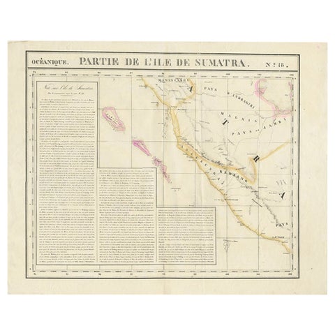
Detailed Antique Map of the Western Sumatra, Indonesia, circa 1825
1825 · 67 × 53.5 cm€420
Maps and Sea Charts · Sumatra
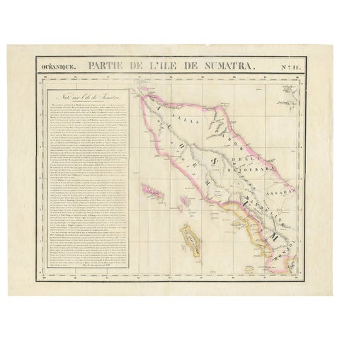
Detailed Antique Map of Northern Sumatra, Indonesia, circa 1825
1825 · 68 × 53.5 cm€420
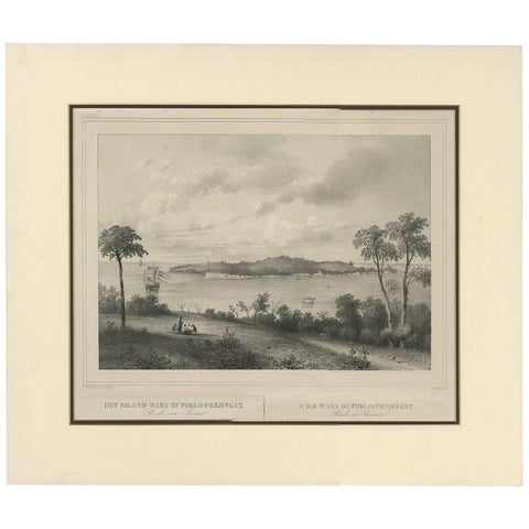
Maps and Sea Charts · Sumatra
Antique Print of the Roadstead of Riau 'Indonesia' by C.W.M. van de Velde, 1844
1844 · 47 × 40 cm€325
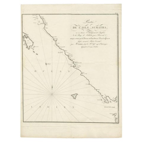
Maps and Sea Charts · Sumatra
Antique Map of Sumatra by Tardieu, 1811
1811 · 40.5 × 53 cm€235