Collection
Maps and Sea Charts
Maps and charts of the archipelago from Münster's woodcut of Sumatra of about 1590 to the Dornseiffen atlas of 1884: Blaeu and Janssonius, Valentijn's island maps of 1726, Bellin and Mannevillette for the French navy, and the town plans of Batavia.
5 sheets
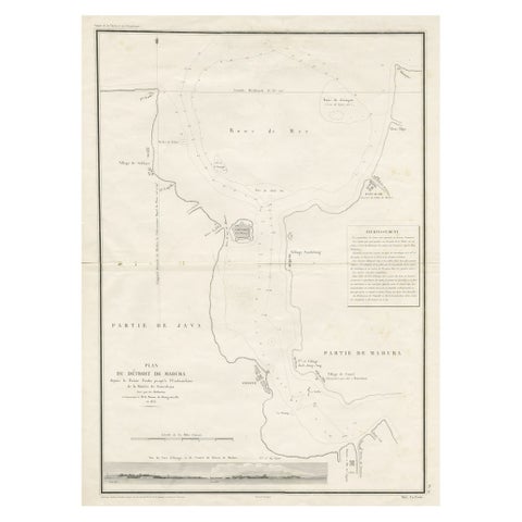
Maps and Sea Charts · Java
Detailed Map of the Madura Strait, between Java & Madura Island, Indonesia, 1825
1825 · 50.5 × 68 cm€1,250
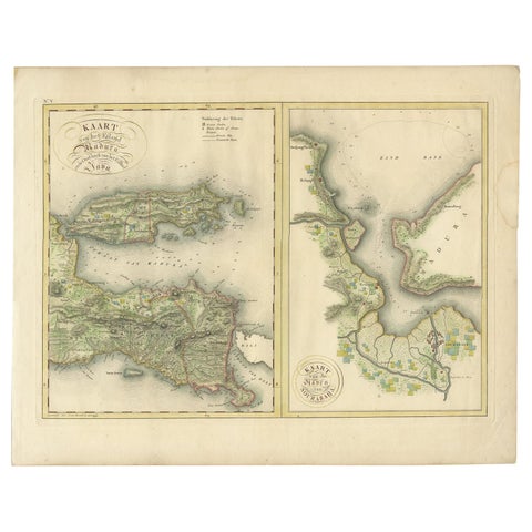
Maps and Sea Charts · Java
Antique Map of Madura and Surabaya by Van den Bosch, '1818'
1818 · 58 × 46 cm€1,104
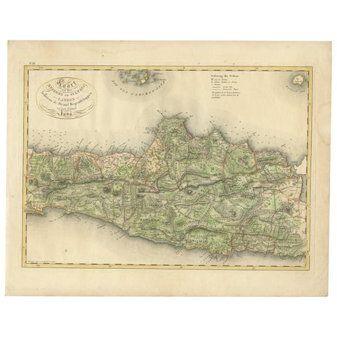
Maps and Sea Charts · Java
Antique Map of Central and East Java by Van den Bosch, 1818
1818 · 58 × 46 cm€1,104
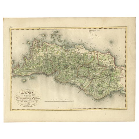
Maps and Sea Charts · Java
Antique Map of Bantam, Jakarta and Cirebon by Van den Bosch '1818'
1818 · 58 × 46 cm€1,104
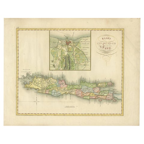
Maps and Sea Charts · Java
Antique Map of Java and Batavia of nowadays Indonesia, '1818'
1818 · 58 × 46 cm€829