Collection
Maps and Sea Charts
Maps and charts of the archipelago from Münster's woodcut of Sumatra of about 1590 to the Dornseiffen atlas of 1884: Blaeu and Janssonius, Valentijn's island maps of 1726, Bellin and Mannevillette for the French navy, and the town plans of Batavia.
15 sheets
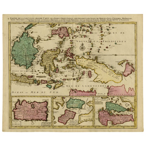
Maps and Sea Charts · Borneo
Old Map of Indonesian Islands Borneo, Celebes, New Guinea & New Britain, 1792
1792 · 66 × 55.3 cm€1,450
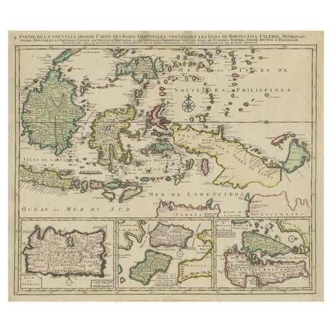
Maps and Sea Charts · Borneo
Old Map of the East Indonesian Islands Borneo, Celebes, New Guinea, Bali, 1792
1792 · 64.5 × 55 cm€1,250
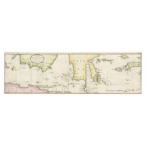
Maps and Sea Charts · Java
Rare Chart of Indonesia Including Borneo, Java, Celebes, Ceram and More, 1779
1779 · 74.5 × 23 cm€890
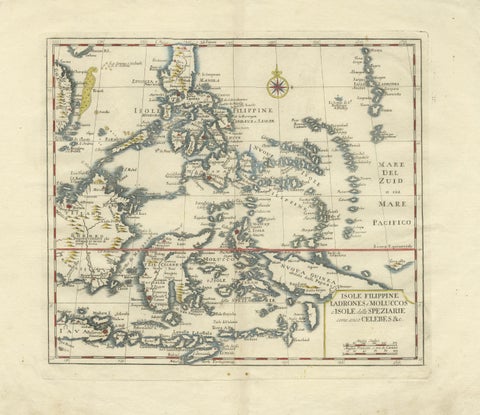
Maps and Sea Charts · Celebes
Antique Map Philippines, Moluccas, Celebes, Spice Islands, Tirion, c.1738
1738 · 48.7 × 37.6 cm€690
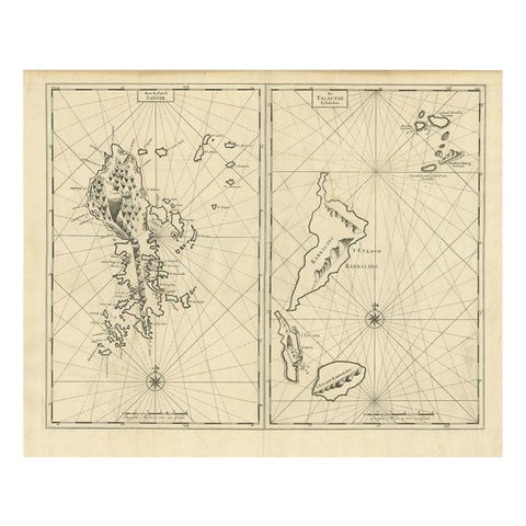
Maps and Sea Charts · Celebes
Antique Map of Sangir Island and the Talaud Islands by Valentijn, 1726
1726 · 64 × 52 cm€520
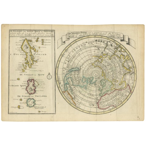
Maps and Sea Charts · Celebes
Antique Map of the North Pole & Sangihe Archipelago by Keizer & de Lat, 1788
1788 · 30 × 20.5 cm€500
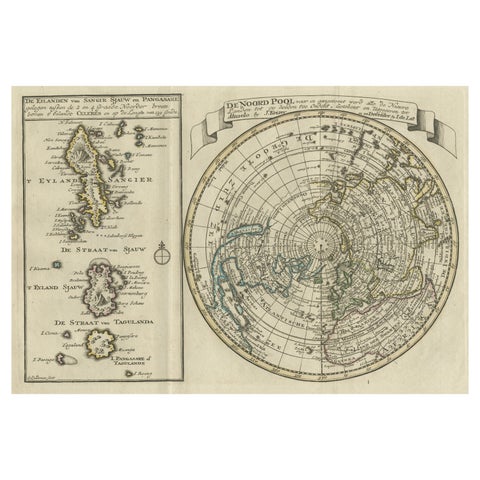
Maps and Sea Charts · Celebes
Nice Sheet of the Sangihe Archipelago in Indonesia & California Island, 1788
1788 · 30.5 × 20.5 cm€422
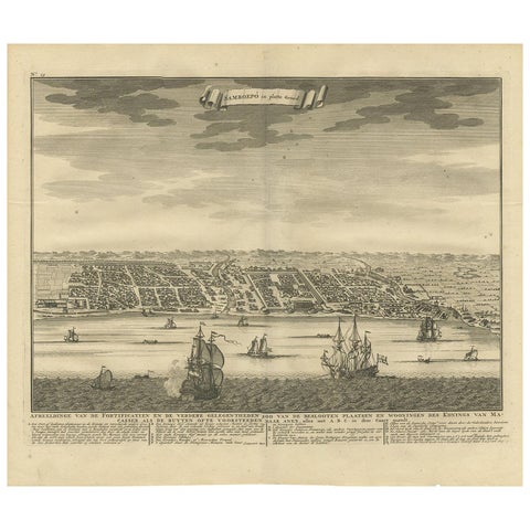
Maps and Sea Charts · Celebes
Antique Map of Samboepo by Valentijn, 1726
1726 · 40 × 34 cm€400
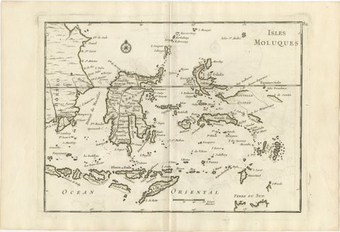
Maps and Sea Charts · Celebes
Antique Map of the Moluccas & Celebes, Le Rouge, French Engraving c.1750
1750 · 35.7 × 24.4 cm€395
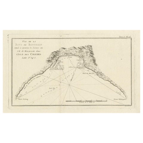
Maps and Sea Charts · Celebes
Antique Map of Bonthain Bay, Sulawesi, Celebes
circa 1774 · 38 × 27.3 cm€220
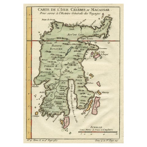
Maps and Sea Charts · Celebes
Antique Map of Celebes 'Sulawesi', Island in Indonesia, c.1750
1750 · 19 × 24.5 cm€180
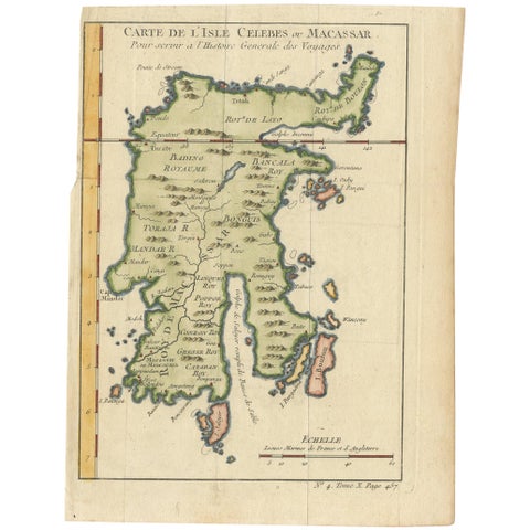
Maps and Sea Charts · Celebes
Antique Map of Celebes 'Sulawesi, Indonesia' by Bellin, ciarca 1755
1755 · 17.7 × 23.5 cm€150
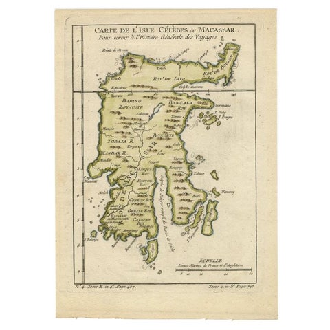
Maps and Sea Charts · Celebes
Antique Map of Celebes 'Sulawesi', Island in Indonesia, 1754
1754 · 17.8 × 24.8 cm€145
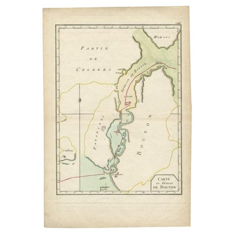
Maps and Sea Charts · Celebes
Antique Map of the Buton Strait by Philippe, 1787
1787 · 29 × 44 cm€120
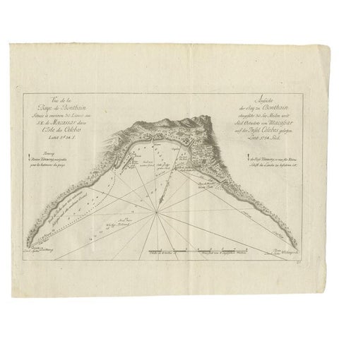
Maps and Sea Charts · Celebes
Antique Map of a Bay Nearby Makassar, Celebes 'Sulawesi)' by Hawkesworth, 1774
1774 · 32.5 × 26.5 cm€115