Collection
Maps and Sea Charts
Maps and charts of the archipelago from Münster's woodcut of Sumatra of about 1590 to the Dornseiffen atlas of 1884: Blaeu and Janssonius, Valentijn's island maps of 1726, Bellin and Mannevillette for the French navy, and the town plans of Batavia.
10 sheets
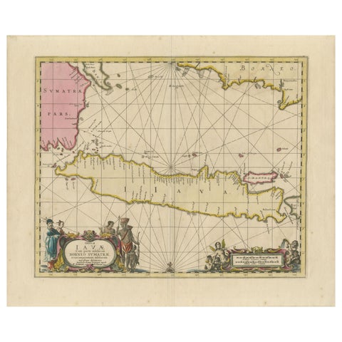
Maps and Sea Charts · Java
Antique Map of Java, Sumatra & Borneo, Dutch East Indies Sea Chart c.1700
1700 · 61.5 × 51.2 cm£1,885
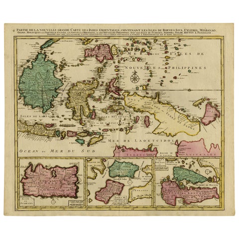
Maps and Sea Charts · Borneo
Old Map of Indonesian Islands Borneo, Celebes, New Guinea & New Britain, 1792
1792 · 66 × 55.3 cm£1,215
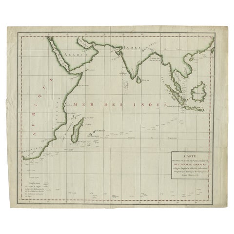
Maps and Sea Charts · Java
Old Map of Indian Ocean & Sumatra, Java, Borneo, India, Arabia, Africa, c.1783
1783 · 64.5 × 53 cm£1,170
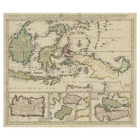
Maps and Sea Charts · Borneo
Old Map of the East Indonesian Islands Borneo, Celebes, New Guinea, Bali, 1792
1792 · 64.5 × 55 cm£1,045
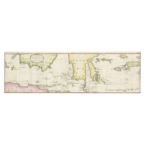
Maps and Sea Charts · Java
Rare Chart of Indonesia Including Borneo, Java, Celebes, Ceram and More, 1779
1779 · 74.5 × 23 cm£745
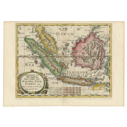
Maps and Sea Charts · Java
Antique Map of the Sunda Islands Including Sumatra, Java, and Borneo, 1705
1705 · 30.2 × 22 cm£720
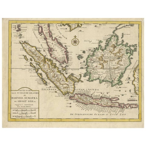
Maps and Sea Charts · Java
Antique Map of the Sunda Islands Sumatra, Java, Malay Peninsula & Borneo (1739)
1739 · 39.5 × 31 cm£450
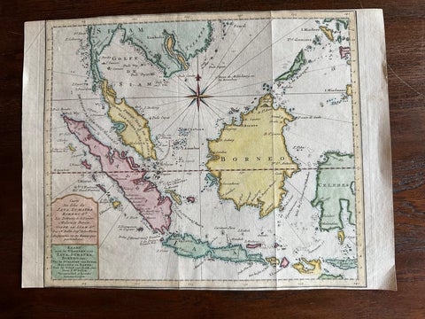
Maps and Sea Charts · Java
Original Map of the East Indies Including Sumatra, Java, Borneo & Malaysia, 1755
1755 · 33 × 24.5 cm£295
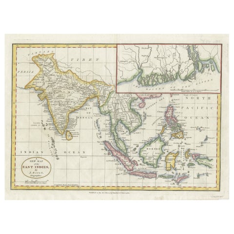
Maps and Sea Charts · Java
1782 Map of the East Indies, India, Siam, Philippines, Java, Borneo, Ganges
1782 · 34.5 × 26 cm£275
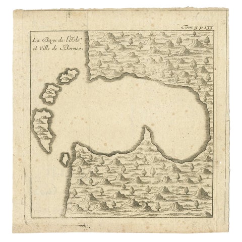
Maps and Sea Charts · Borneo
Antique Map of a Bay of Borneo, Indonesia, c.1760
1760 · 15.5 × 16 cm£115