Van den Bosch (1818)
Maps from Van den Bosch's atlas of the Dutch possessions in the East of 1818, drawn just after the colony returned from British rule.
6 sheets
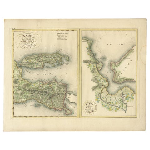
Maps and Sea Charts · Java
Antique Map of Madura and Surabaya by Van den Bosch, '1818'
1818 · 58 × 46 cm$1,235
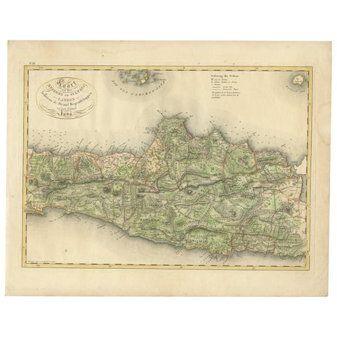
Maps and Sea Charts · Java
Antique Map of Central and East Java by Van den Bosch, 1818
1818 · 58 × 46 cm$1,235
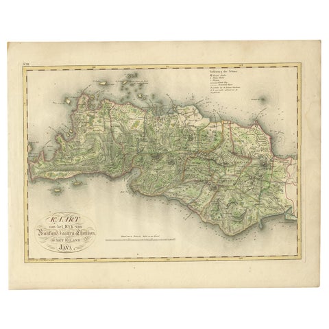
Maps and Sea Charts · Java
Antique Map of Bantam, Jakarta and Cirebon by Van den Bosch '1818'
1818 · 58 × 46 cm$1,235
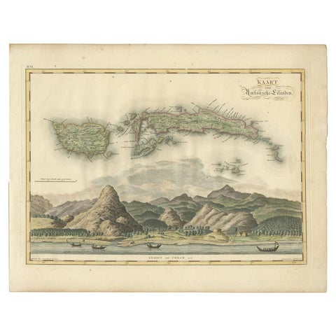
Maps and Sea Charts · Moluccas
Antique Map of Seram, Boero and the Banda Islands by Van den Bosch '1818'
1818 · 58 × 46 cm$1,205
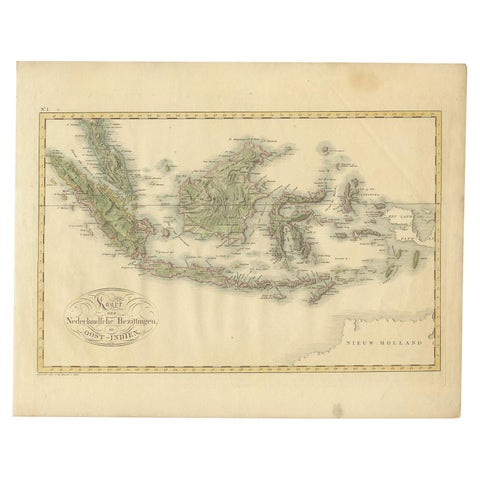
Maps and Sea Charts
Antique Map of the Dutch East Indies by Van den Bosch '1818'
1818 · 58 × 46 cm$935
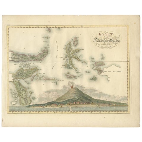
Maps and Sea Charts · Moluccas
Antique Map of the Ternate Islands by Van den Bosch '1818'
1818 · 58 × 46 cm$930