François Valentijn
François Valentijn's Oud en Nieuw Oost-Indiën (Dordrecht and Amsterdam, 1724 to 1726), the great Dutch encyclopedia of the East Indies, written by a minister who served on Ambon: maps, town views, forts, portraits of the Governors-General, natural history and the history of the Company.
11 sheets
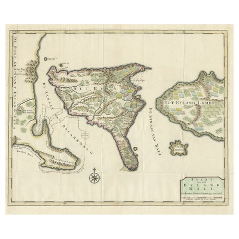
Maps and Sea Charts · Lesser Sunda
1726 Valentyn's Map of Bali and Lombok, Original Engraving
1726 · 62 × 55 cm$1,680
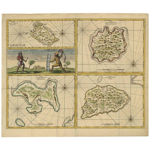
Maps and Sea Charts · Moluccas
Antique Map of Manipa, Nusa-Laut, Saparua & Haruku 'Indonesia' by F. Valentijn
Date not stated · 60 × 50.5 cm$950
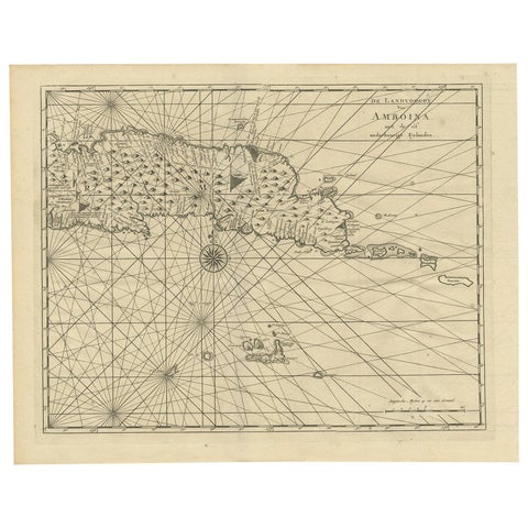
Maps and Sea Charts · Moluccas
Antique Map of Ambon and Surroundings by Valentijn '1726'
1726 · 43 × 34 cm$615
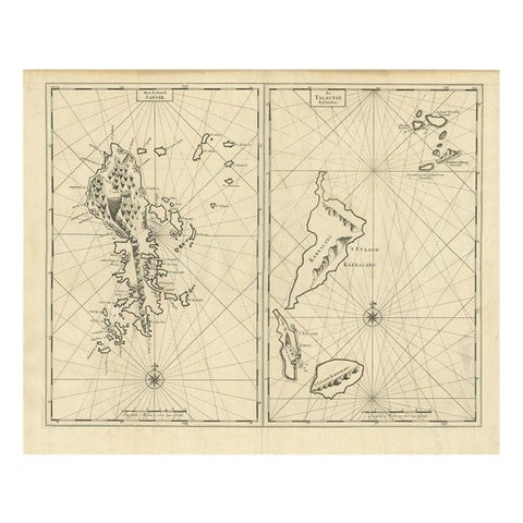
Maps and Sea Charts · Celebes
Antique Map of Sangir Island and the Talaud Islands by Valentijn, 1726
1726 · 64 × 52 cm$580
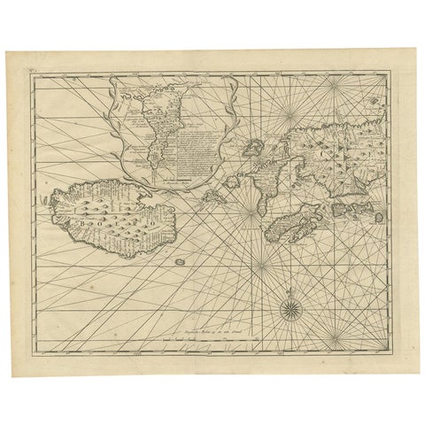
Maps and Sea Charts · Moluccas
Antique Map of Ambon and Boero by Valentijn, 1726
1726 · 42.5 × 34 cm$560
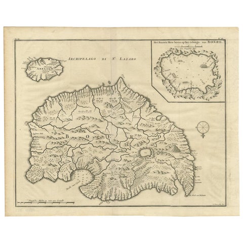
Maps and Sea Charts · Moluccas
Antique Map of Boero in Indonesia by Valentijn, 1726
1726 · 42 × 34 cm$560
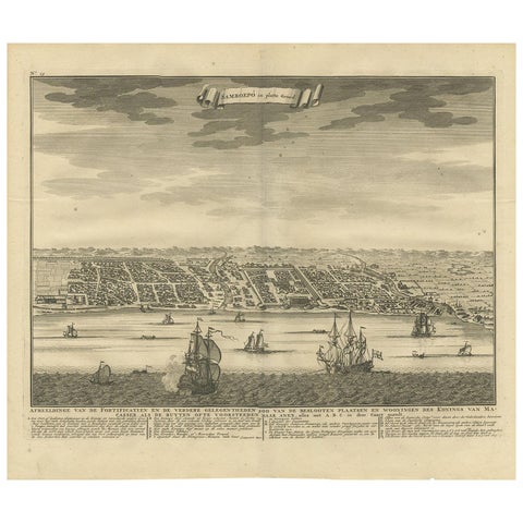
Maps and Sea Charts · Celebes
Antique Map of Samboepo by Valentijn, 1726
1726 · 40 × 34 cm$450
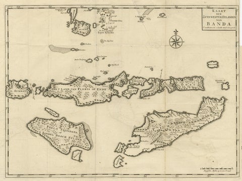
Maps and Sea Charts · Moluccas
Antique Map of the Banda Islands in Indonesia by Valentijn, 1726
1726 · 51.5 × 41.5 cm$405
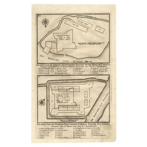
Maps and Sea Charts · Java
Antique Map of the Fortifications of Demak and Jepara by Valentijn, 1726
1726 · 20.4 × 33.4 cm$175
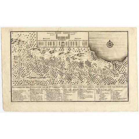
Maps and Sea Charts
Antique Map of the Expedition of Govert Knol by Valentijn, 1726
1726 · 33.8 × 20.8 cm$120
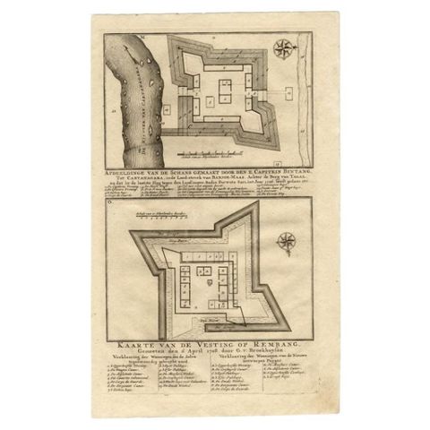
Maps and Sea Charts
Antique Map of the Fortress of Captain E. Bintang by Valentijn, 1726
1726 · 20.5 × 33.6 cm$105