Town plans
Plans of Batavia from Montanus (1669) to Van Krevelt (about 1780).
10 sheets
Maps and Sea Charts · Java
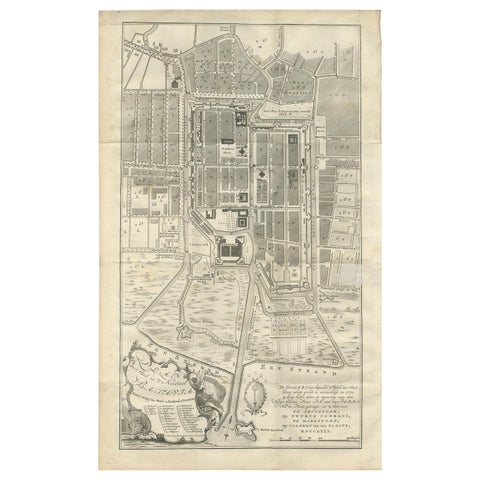
Antique Plan of Batavia by Van Krevelt, circa 1780
1780 · 45 × 69 cm$2,800
Maps and Sea Charts · Java
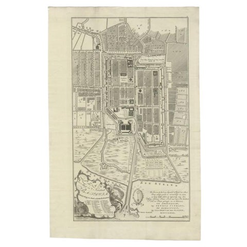
Antique Plan of Batavia, Nowadays Jakarta, Indonesia, 1780
1780 · 47 × 73 cm$2,070
Maps and Sea Charts · Java
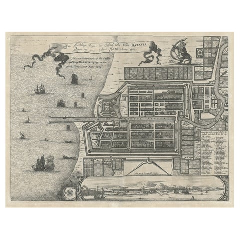
Antique Plan of the Castle & City of Batavia 'Jakarta' on Java, Indonesia, c1669
1669 · 44.5 × 39 cm$1,400
Maps and Sea Charts · Java
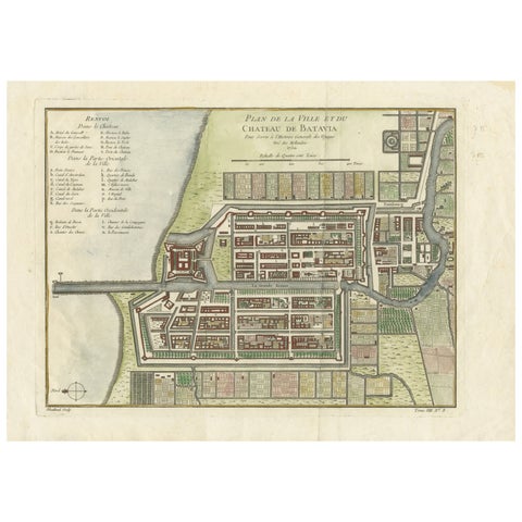
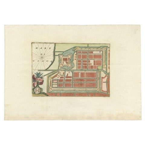
Hand-Colored 1750 Plan of Batavia, Colonial Jakarta, Indonesia by Jacques Bellin
1750 · 37.5 × 26.7 cm$715
Maps and Sea Charts · Java
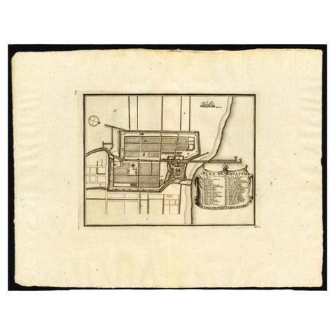
Antique Plan of Batavia in the Dutch East Indies or Nowadays Jakarta, Indonesia
circa 1720 · 49.5 × 34.5 cm$675
Maps and Sea Charts · Java
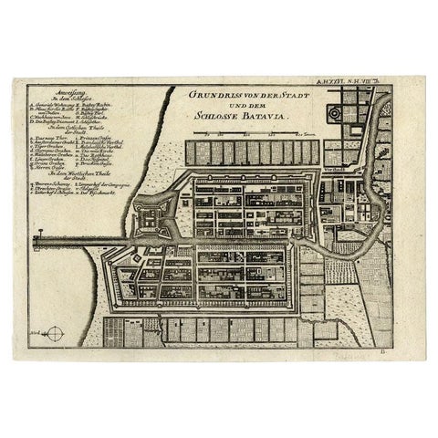
Antique Plan of Batavia, Capital of the Dutch East Indies, by Van Der Aa, 1725
1725 · 49 × 38 cm$640
Maps and Sea Charts · Java
Antique Plan of Batavia and the Castle in the Dutch East Indies, 1763
1763 · 33 × 22.9 cm$435
Maps and Sea Charts · Java
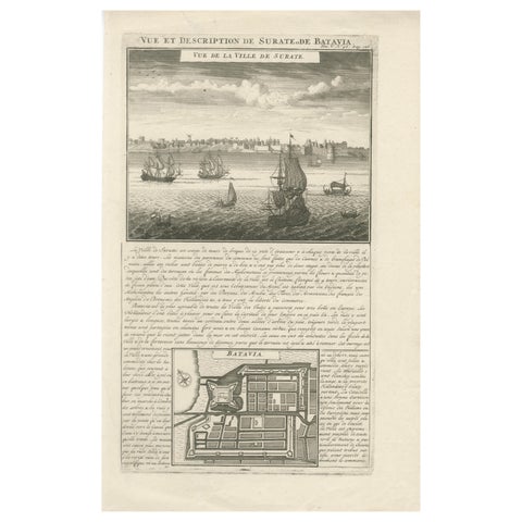
Antique View of Surat & Plan of Batavia, VOC India & Indonesia, Chatelain, 1719
1719 · 28 × 44 cm$425
Maps and Sea Charts · Java
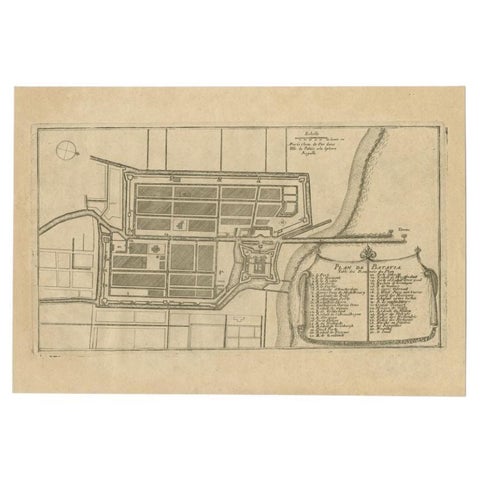
Antique Plan of Batavia in the Dutch East Indies or Indonesia, circa 1695
1695 · 32.5 × 22 cm$325
Maps and Sea Charts · Java
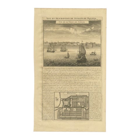
Antique Print of Surate and a Plan of Batavia in the Dutch East Indies, 1719
1719 · 26 × 44 cm$195
More to explore
Subjects