Sea charts
Charts for navigation: the Sunda Strait, the coasts of Sumatra and Java and the roadsteads of Batavia and Bantam.
14 sheets
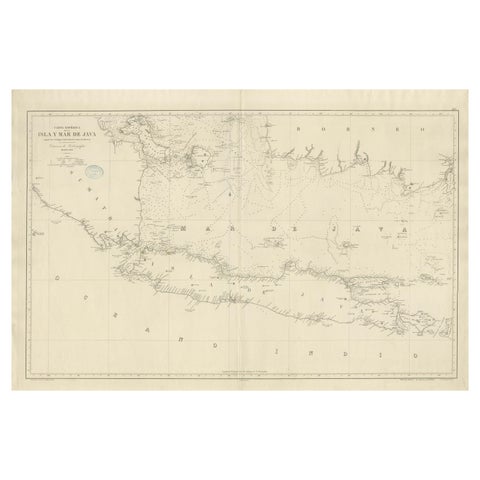
Maps and Sea Charts · Java
Large Chart of the island and sea of Java, Indonesia
1863 · 103 × 69.2 cm£2,095
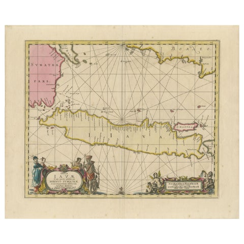
Maps and Sea Charts · Java
Antique Map of Java, Sumatra & Borneo, Dutch East Indies Sea Chart c.1700
1700 · 61.5 × 51.2 cm£1,885
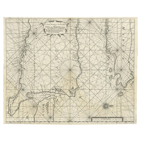
Maps and Sea Charts · Java
Rare Old English Sea Chart of Part of Indonesia with Java, Madura and Bali, 1711
1711 · 55.3 × 45 cm£1,380
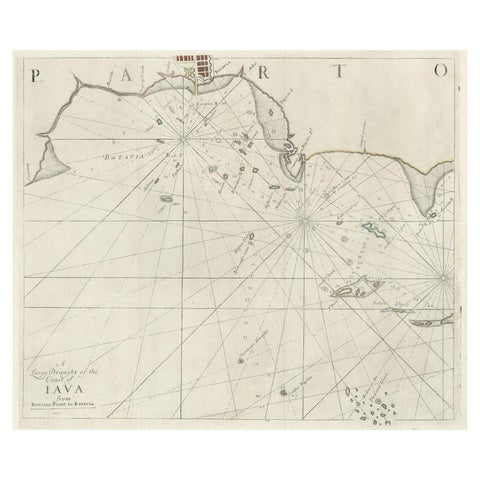
Maps and Sea Charts · Java
Two Antique Sea Charts of the Thousand Islands between Batavia and Bantam, c1734
1734 · 126 × 51 cm£1,380
Maps and Sea Charts · Java
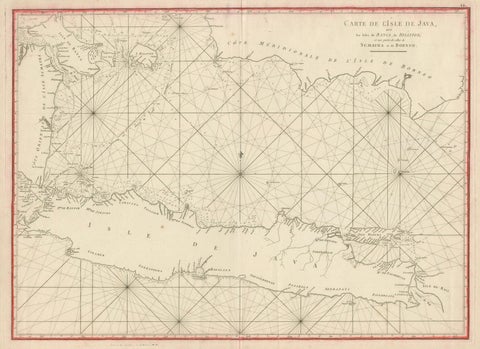
Antique Sea Chart Java Indonesia, Mannevillette Neptune Oriental 1775
1775 · 74 × 53.8 cm£1,170
Maps and Sea Charts · Java
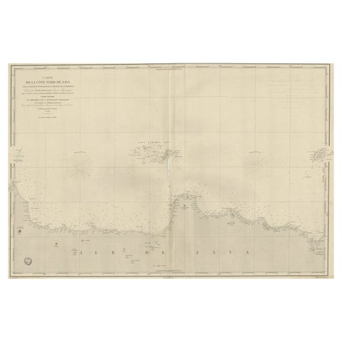
Early French Nautical Chart of the Northern Coast of of Java, Indonesia, C.1850
1850 · 98 × 67 cm£965
Maps and Sea Charts · Java
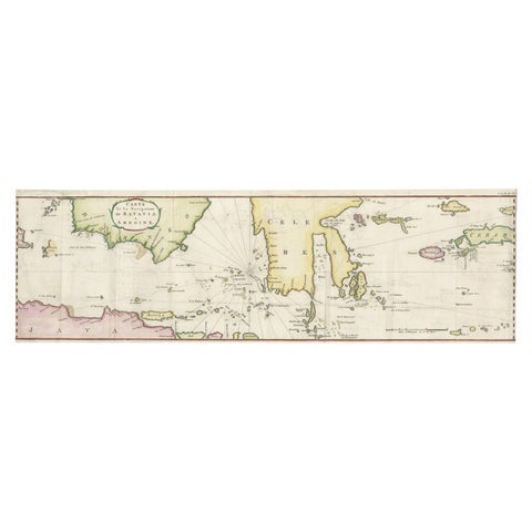
Rare Chart of Indonesia Including Borneo, Java, Celebes, Ceram and More, 1779
1779 · 74.5 × 23 cm£745
Maps and Sea Charts · Sumatra
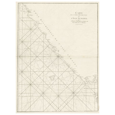
Sea Chart of Part of the Southwestern Coast of Sumatra & Nias, Indonesia, C1775
1775 · 55 × 78 cm£450
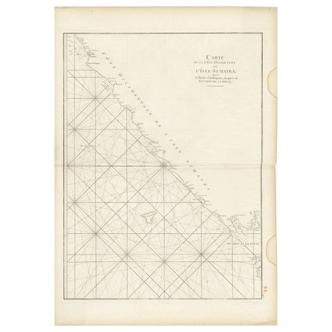
Maps and Sea Charts · Sumatra
Antique Sea Chart of the Coast of Sumatra, Indonesia, circa 1775
1775 · 55 × 78 cm£450
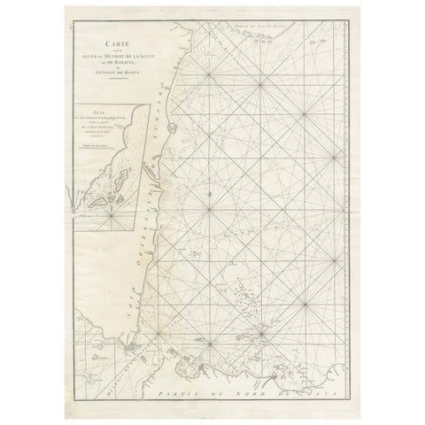
Maps and Sea Charts · Sumatra
Antique Sea Chart by J. B. d'Apres de Mannevillette, Sumatra, 1780
1780 · 53 × 76.7 cm£395
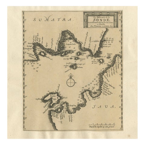
Maps and Sea Charts · Java
Sunda Strait Sea Chart, Sumatra and Java, Dutch Engraving c.1700
1700£320
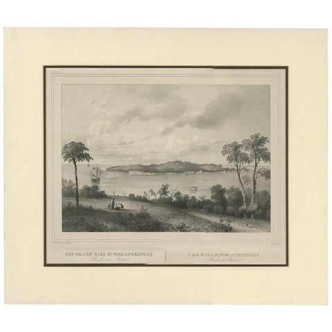
Maps and Sea Charts · Sumatra
Antique Print of the Roadstead of Riau 'Indonesia' by C.W.M. van de Velde, 1844
1844 · 47 × 40 cm£270
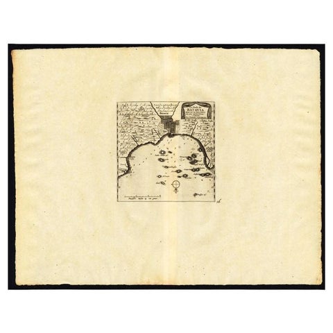
Maps and Sea Charts · Java
Antique Map of the Roadstead of Batavia by Van der Aa, 1725
1725 · 49 × 38 cm£260
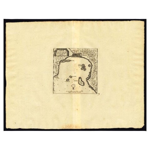
Maps and Sea Charts · Java
Antique Map of the Roadstead of Bantam by Van der Aa, 1725
1725 · 49 × 38 cm£220
More to explore
Subjects