Dornseiffen's atlas
Maps from I. Dornseiffen's Atlas van Nederlandsch Oost-Indië (1884 and 1900 editions), the standard Dutch school and office atlas of the colony.
9 sheets
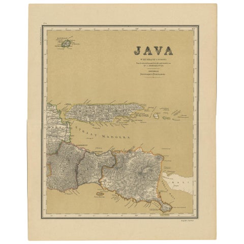
Maps and Sea Charts · Java
Antique Map of Java in 4 sheets by Dornseiffen, 1884
1884 · 39 × 49 cm$660
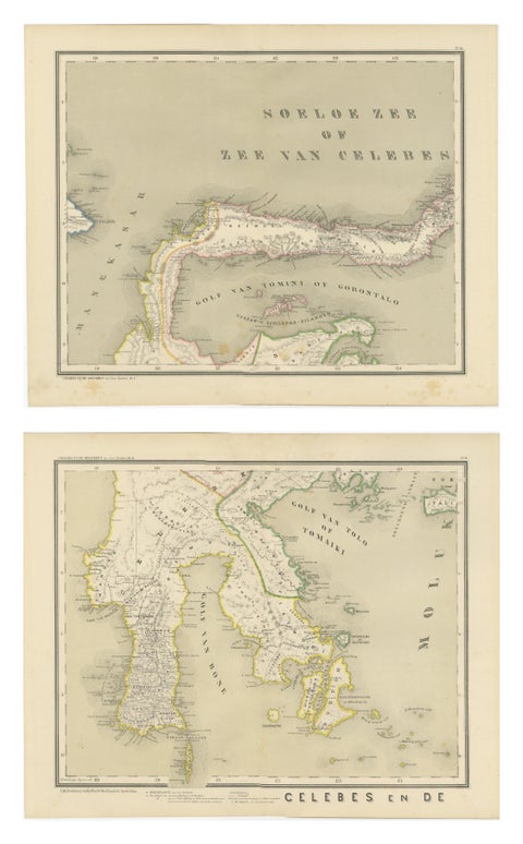
Maps and Sea Charts · Celebes
Antique Two-Sheet Map of Celebes Sulawesi, Dornseiffen, Dutch East Indies, 1884
1884 · 48.5 × 39 cm$490
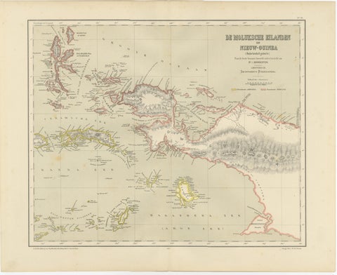
Maps and Sea Charts · Moluccas
Antique Colonial Dutch Map of the Moluccas & New Guinea by Dornseiffen, 1884
1884 · 48.5 × 39 cm$435
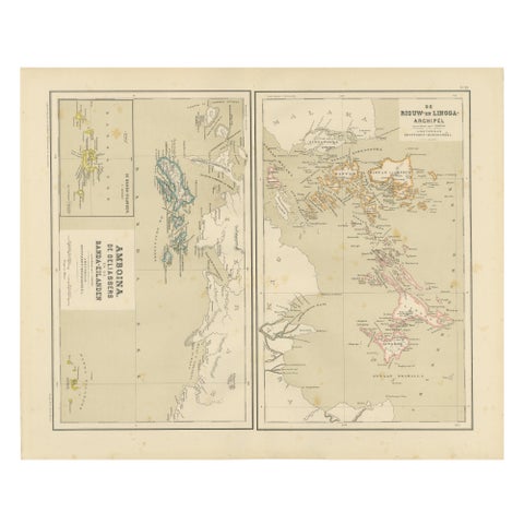
Maps and Sea Charts · Sumatra
Antique Map of Riouw, Lingga Archipelago, Singapore, Banda by Dornseiffen, 1884
1884 · 48.5 × 39 cm$380
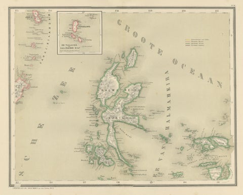
Maps and Sea Charts · Moluccas
Antique Map of Halmahera, Ternate, Tidore, Moluccas by Dornseiffen, 1884
1884 · 39 × 48.5 cm$325
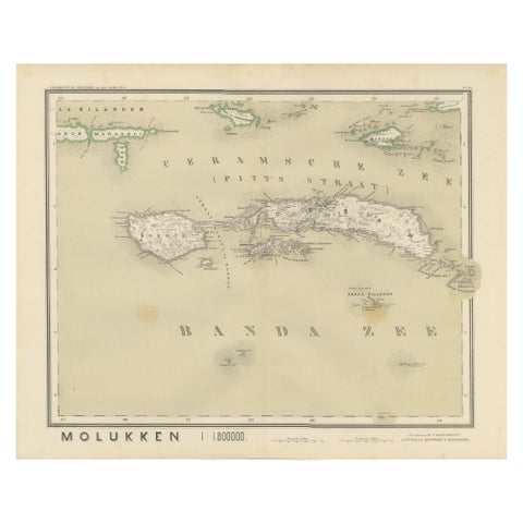
Maps and Sea Charts · Moluccas
Antique Map of Ceram, Ambon, Banda, Buru, Moluccas by Dornseiffen, 1884
1884 · 39 × 48.5 cm$325
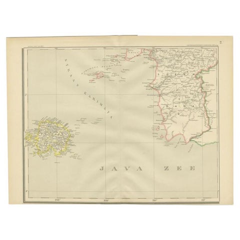
Maps and Sea Charts · Java
Antique Map of the Java Sea by Dornseiffen, 1900
1900 · 52.4 × 38.6 cm$215
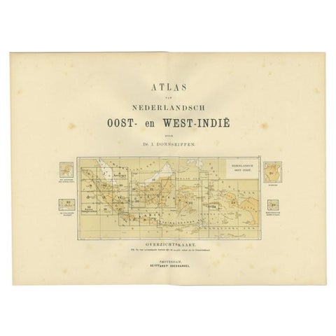
Maps and Sea Charts
Antique Map of the East Indies by Dornseiffen, 1900
1900 · 52.4 × 38.7 cm$155
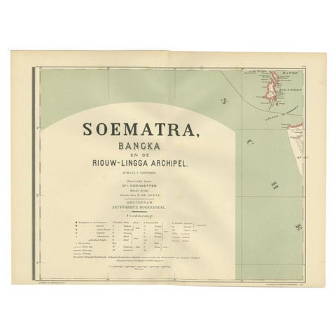
Maps and Sea Charts · Sumatra
Antique Map of the Batu Islands by Dornseiffen, 1900
1900 · 52 × 38.9 cm$95