Batavia (Jakarta)
Batavia, founded by the VOC in 1619 on the ruins of Jayakarta, capital of the Dutch East Indies and today Jakarta: town plans, the castle, the canals, churches and town hall, and the life of the colonial city.
126 sheets
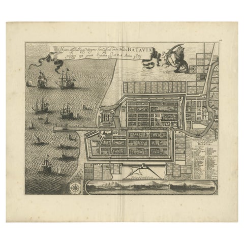
Maps and Sea Charts · Java
Rare 1681 Map of Batavia: Detailed Dutch Colonial Era Cartography, 1681
1681 · 62 × 53.5 cm$6,605
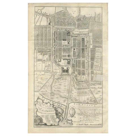
Maps and Sea Charts · Java
Antique Plan of Batavia by Van Krevelt, circa 1780
1780 · 45 × 69 cm$2,800
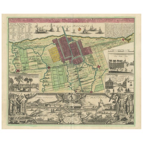
Maps and Sea Charts · Java
Antique Map and Views of Batavia by Homann Heirs, '1733'
1733 · 61 × 51 cm$2,800
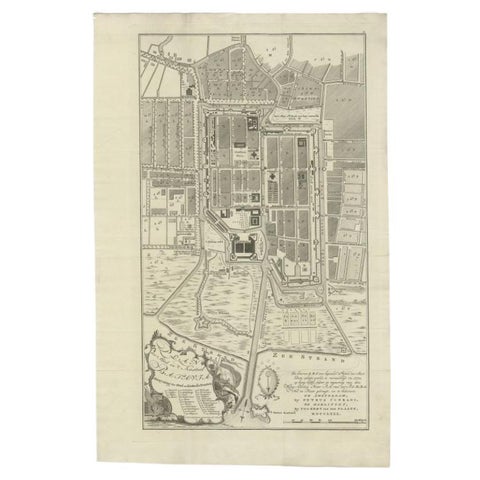
Maps and Sea Charts · Java
Antique Plan of Batavia, Nowadays Jakarta, Indonesia, 1780
1780 · 47 × 73 cm$2,070
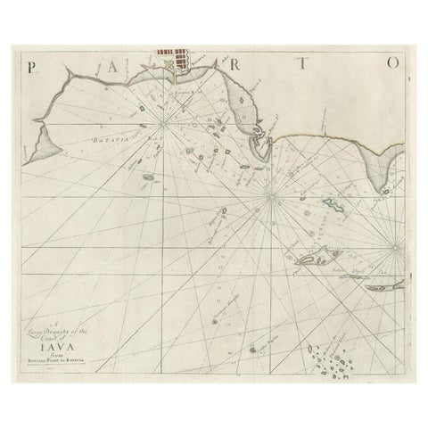
Maps and Sea Charts · Java
Two Antique Sea Charts of the Thousand Islands between Batavia and Bantam, c1734
1734 · 126 × 51 cm$1,845
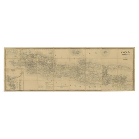
Maps and Sea Charts · Java
Large Antique Map of Java & Madura with Batavia Inset, c.1870s Dutch East Indies
Date not stated · 124 × 42 cm$1,565
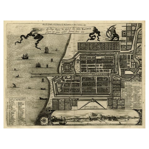
Maps and Sea Charts · Java
Antique Map of Batavia, Dutch East Indies, Nowadays Jakarta, Indonesia, ca.1669
1669 · 37.5 × 32.2 cm$1,510
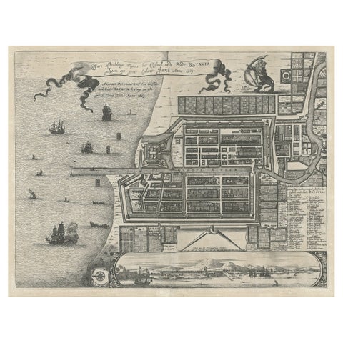
Maps and Sea Charts · Java
Antique Plan of the Castle & City of Batavia 'Jakarta' on Java, Indonesia, c1669
1669 · 44.5 × 39 cm$1,400
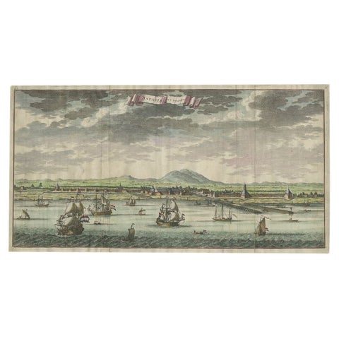
Towns and Landscapes · Java
Antique Print of Batavia, Capital of the Dutch East Indies or Indonesia, '1726'
1726 · 54 × 28.5 cm$1,400
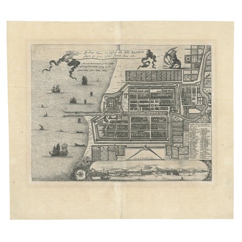
Maps and Sea Charts · Java
Antique Map of Batavia 'Jakarta', Indonesia by Montanus, circa 1669
1669 · 44.5 × 39 cm$1,400
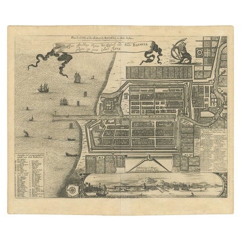
Maps and Sea Charts · Java
Antique Map of the City of Batavia by Van der Aa, circa 1730
1730 · 37.5 × 31 cm$1,345
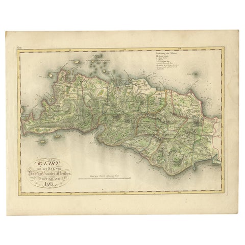
Maps and Sea Charts · Java
Antique Map of Bantam, Jakarta and Cirebon by Van den Bosch '1818'
1818 · 58 × 46 cm$1,235
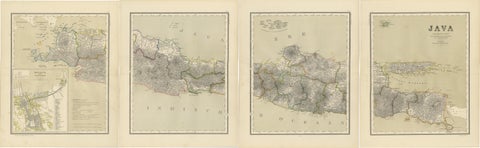
Maps and Sea Charts · Java
Four Antique Java Maps with Batavia Plan, Dutch East Indies Wall Set 1880s
Date not stated · 39 × 48.5 cm$1,230
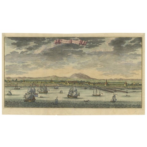
Towns and Landscapes · Java
Antique Print of Batavia or Nowadays Jakarta, Indonesia, by Valentijn (1726)
1726 · 58.5 × 33 cm$1,065
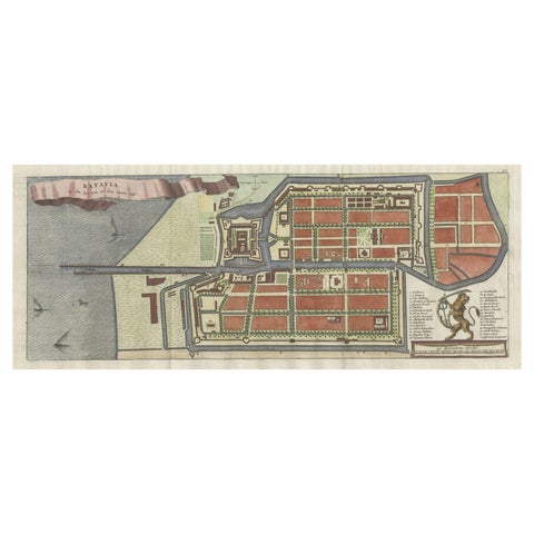
Maps and Sea Charts · Java
Antique Map of Batavia, Nowadays Jakarta, the Capital of Indonesia, 1782
1782 · 53.5 × 25 cm$1,065
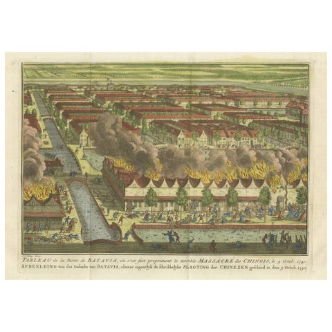
The Company · Java
Antique Print of the Batavia Massacre 'Present-Day Jakarta', Indonesia, ca.1740
1740 · 38 × 25 cm$1,020
Towns and Landscapes · Java
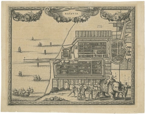
Antique Print of Batavia, Capital of the Dutch East Indies, Van der Aa, ca.1725
1725 · 30.5 × 24 cm$995
Towns and Landscapes · Java
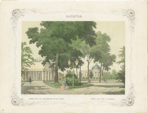
Batavia General's Residence & Governor's Hotel, Jakarta Lithograph, 1860
1860 · 36.7 × 28 cm$995
Towns and Landscapes · Java
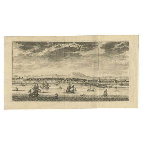
Antique Print of Batavia (Jakarta) in the Dutch East Indies, 1726
1726 · 61 × 33 cm$985
Maps and Sea Charts · Java
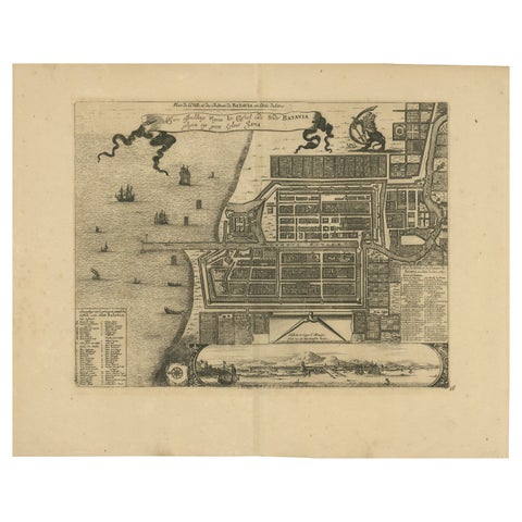
1728 Map of Batavia Castle & City, Java, Van der Aa after 1669
1728 · 46.5 × 36.6 cm$985
Maps and Sea Charts · Java
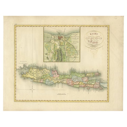
Antique Map of Java and Batavia of nowadays Indonesia, '1818'
1818 · 58 × 46 cm$930
The Company · Java
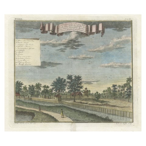
Old Antique Print of Fort Noordwijk, Batavia 'Jakarta, Indonesia', 1739
1739 · 36 × 31 cm$875
Towns and Landscapes · Java
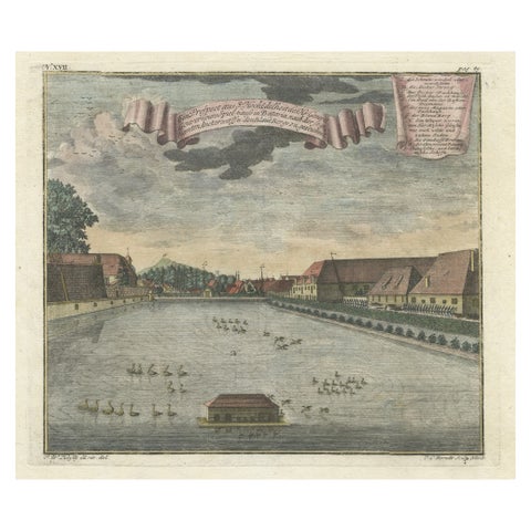
Print of Pleasure Gardens of the Governor-General of Batavia, Indonesia, ca.1744
1744 · 36 × 31 cm$875
Towns and Landscapes · Java
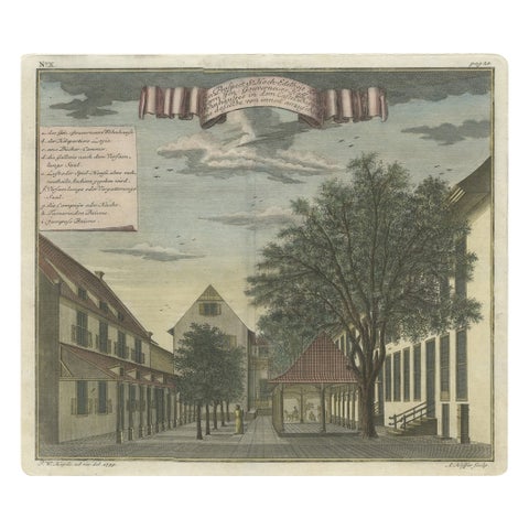
Old Print of the Governor-General's Residence in Batavia, Indonesia, 1739
1739 · 37 × 32 cm$875
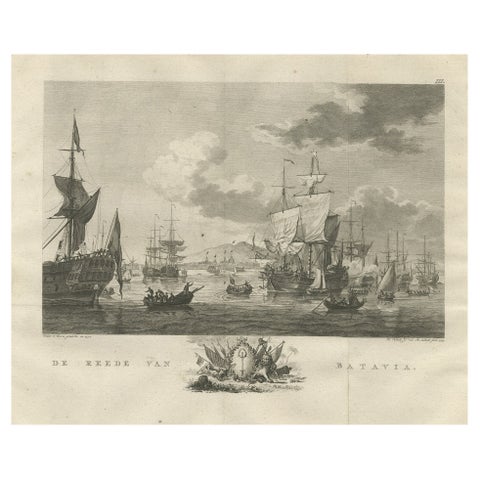
The Company · Java
Old Print of VOC Ships in the Sea Near Batavia (Jakarta, Indonesia), 1779
1779 · 38.5 × 33 cm$875
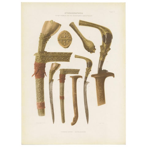
Peoples and Costume · Java
Twelve Prints of Ethnographic Items of Batavia Published by J.W. Teillers '1910'
1910 · 27 × 37 cm$840
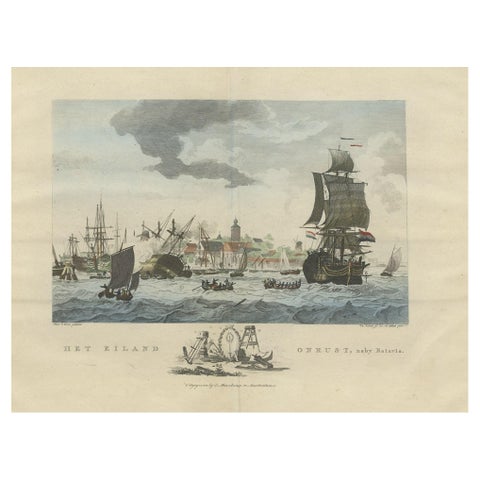
The Company · Java
Beautiful View of Pulau 'Island' Onrust, Batavia 'Jakarta, Indonesia', ca.1805
1805 · 50 × 37 cm$815
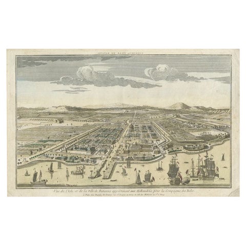
Towns and Landscapes · Java
Antique Print of Batavia or nowadays Jakarta, Indonesia, c.1755
1755 · 43 × 27.5 cm$815
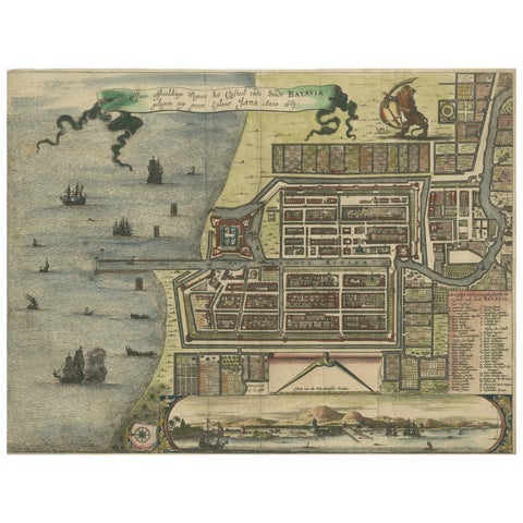
Maps and Sea Charts · Java
Rare 17th Century Map of Batavia and Castle on Java by Isaac de l'Obel
circa 1681 · 36 × 27.1 cm$740
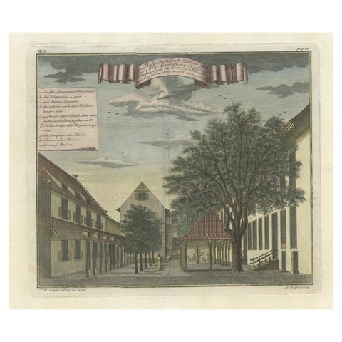
Towns and Landscapes · Java
Rare Print of the Governor-General's Residence in Batavia 'Jakarta', Indonesia
Date not stated · 37 × 32 cm$730
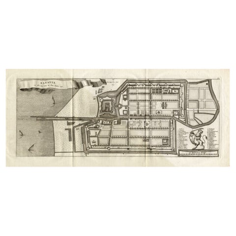
Maps and Sea Charts · Java
Antique Map of Batavia 'Jakarta, Indonesia', the Dutch East-Indies, 1782
1782 · 54 × 27.5 cm$715
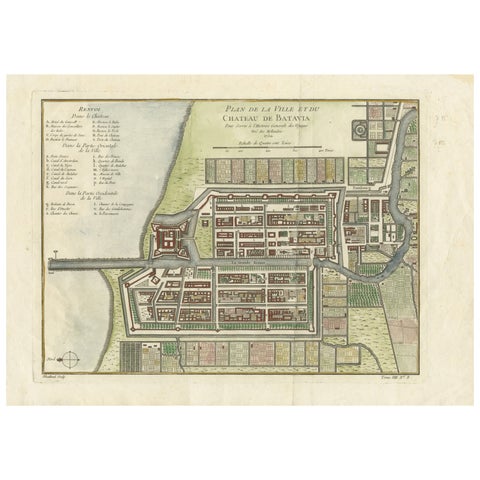
Maps and Sea Charts · Java
Hand-Colored 1750 Plan of Batavia, Colonial Jakarta, Indonesia by Jacques Bellin
1750 · 37.5 × 26.7 cm$715
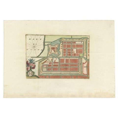
Maps and Sea Charts · Java
Antique Plan of Batavia in the Dutch East Indies or Nowadays Jakarta, Indonesia
circa 1720 · 49.5 × 34.5 cm$675
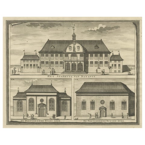
Towns and Landscapes · Java
View of the City Hall of Batavia and Portugese Church in Nowadays Jakarta, 1726
1726 · 42.5 × 33.5 cm$640
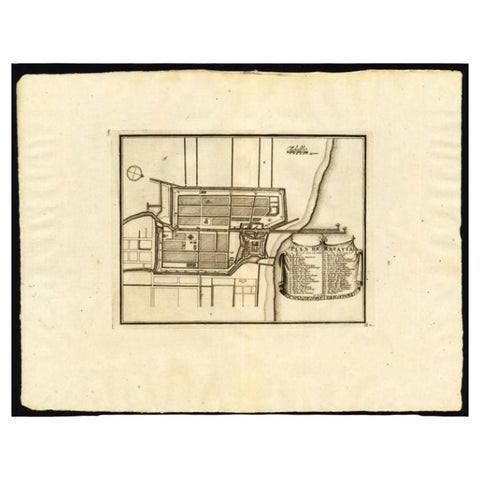
Maps and Sea Charts · Java
Antique Plan of Batavia, Capital of the Dutch East Indies, by Van Der Aa, 1725
1725 · 49 × 38 cm$640
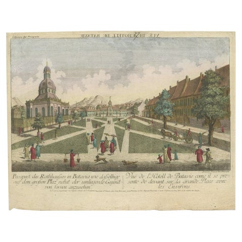
Towns and Landscapes · Java
Antique Print of the Town Hall of Batavia or Jakarta in Todays Indonesia, 1770
1770 · 41 × 33 cm$640
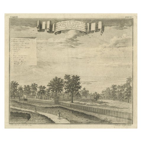
The Company · Java
Old Antique Print of Fort Noordwijk, Batavia in the Dutch East Indies, 1739
1739 · 33 × 26.5 cm$625
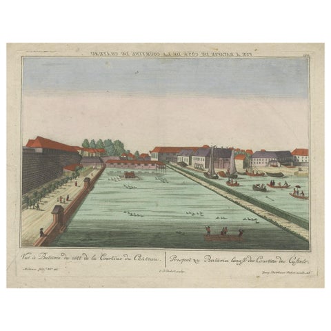
The Company · Java
Antique Print of Batavia Castle in Nowadays Jakarta, Indonesia, circa 1770
1770 · 49.5 × 39 cm$615
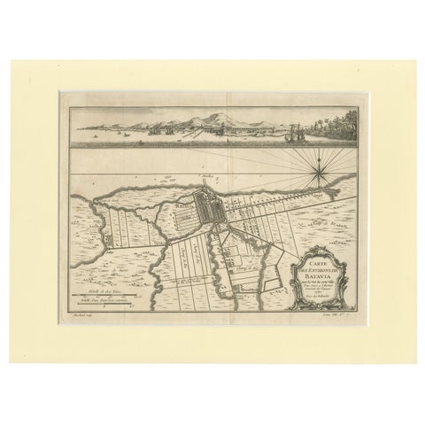
Maps and Sea Charts · Java
Old Engraving of Batavia 'Jakarta, Indonesia' with Map and Harbour View, 1750
1750 · 40 × 30 cm$615
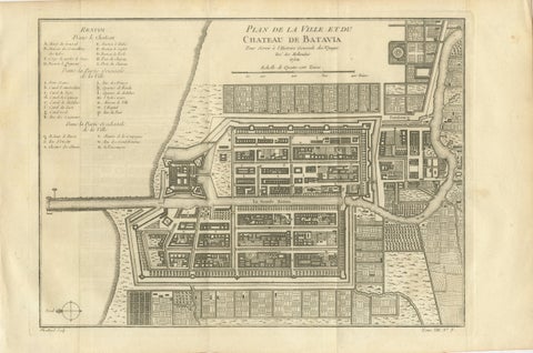
Maps and Sea Charts · Java
Antique Map of Batavia Jakarta Indonesia, Dutch East Indies, c.1750
1750 · 37.8 × 25 cm$610
The Company · Java
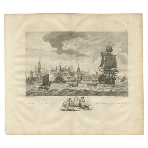
Antique Print of Ships Near Onrust Island Near Jakarta, Indonesia, 1779
1779 · 33 × 38 cm$605
The Company · Java
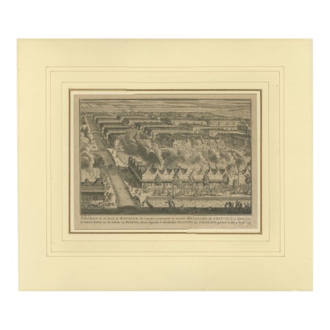
1740 Batavia Chinese Massacre Engraving, Dutch Colonial Indonesia
1740 · 48 × 41 cm$605
The Company · Java
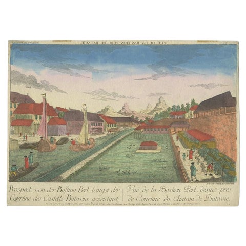
Rare Print of the Pearl Bastion of Castle Batavia in the Dutch East Indies, 1770
1770 · 40 × 29 cm$595
Towns and Landscapes · Java
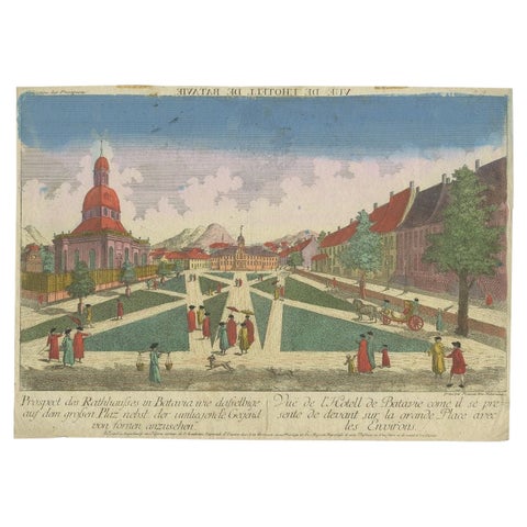
Old Print of the Town Hall of Batavia 'Jakarta' in the Dutch East Indies, 1770
1770 · 40 × 29 cm$595
The Company · Java
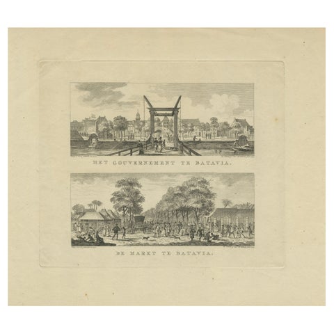
Batavia Market Scenes & Government House, Antique Prints VOC Period, c.1780
1780 · 41.2 × 33 cm$595
The Company · Java
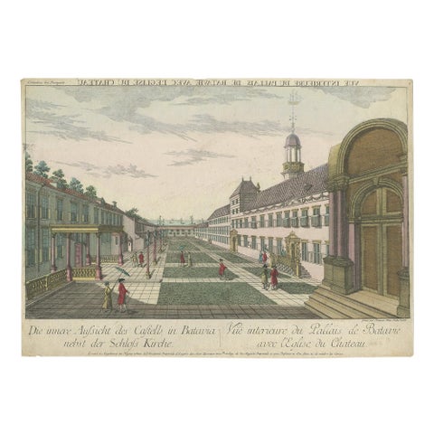
Antique Print of the Inner Courtyard of the Castle at Batavia by Habermann
circa 1770 · 40.5 × 28.5 cm$560
The Company · Java
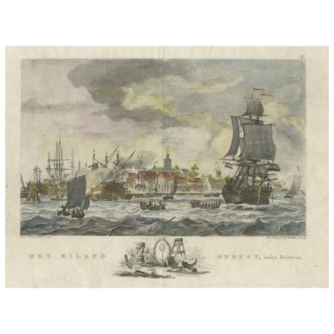
1779 View of Onrust Island Near Batavia with VOC Shipyard Activity
1779 · 35.4 × 25.5 cm$525
Maps and Sea Charts · Java
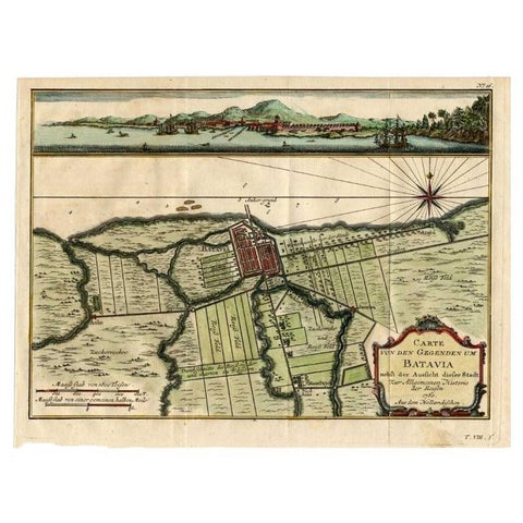
Antique Map of Batavia, Capital of The Dutch East Indies at the Time, 1751
1751 · 32 × 24.5 cm$505
More to explore
Places