Search: Celebes
33 sheets
Maps and Sea Charts · Borneo
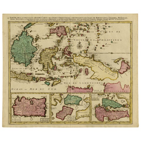
Old Map of Indonesian Islands Borneo, Celebes, New Guinea & New Britain, 1792
1792 · 66 × 55.3 cm£1,215
Maps and Sea Charts · Borneo
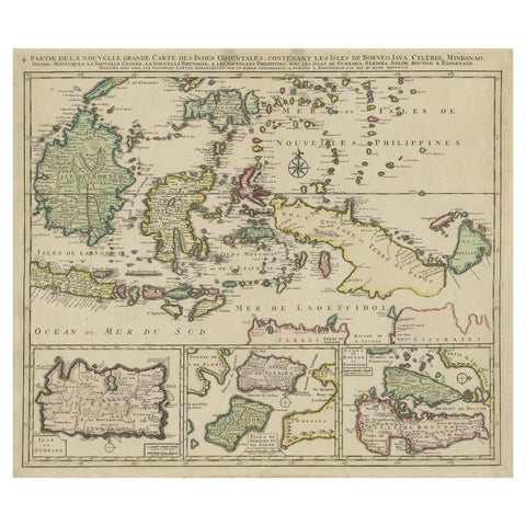
Old Map of the East Indonesian Islands Borneo, Celebes, New Guinea, Bali, 1792
1792 · 64.5 × 55 cm£1,045
Maps and Sea Charts · Java
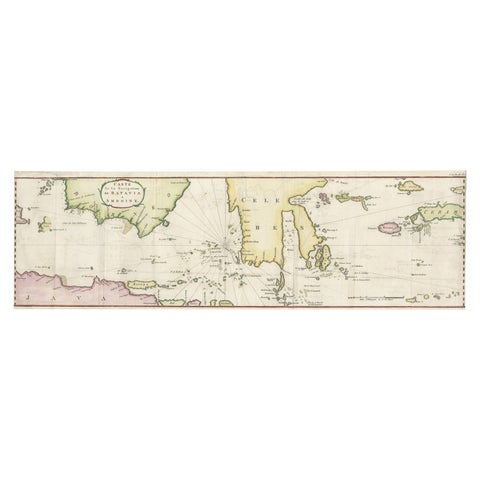
Rare Chart of Indonesia Including Borneo, Java, Celebes, Ceram and More, 1779
1779 · 74.5 × 23 cm£745
Maps and Sea Charts · Celebes
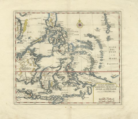
Antique Map Philippines, Moluccas, Celebes, Spice Islands, Tirion, c.1738
1738 · 48.7 × 37.6 cm£580
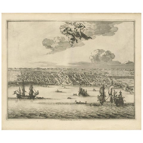
Towns and Landscapes · Celebes
Antique Print of Makassar 'South Sulawesi, Indonesia' by P. van der Aa
circa 1725 · 39.7 × 32.7 cm£555
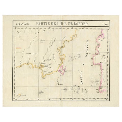
Maps and Sea Charts · Borneo
Detailed Antique Map of a Portion of Borneo and Sulawesi in Indonesia, c.1825
1825 · 69 × 53.5 cm£450
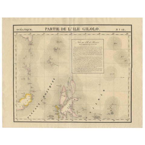
Maps and Sea Charts · Celebes
Antique Map of Southern Mindanao, Sulawesi and Gilolo Halmahera, Indonesia, 1827
1827 · 68 × 53 cm£435
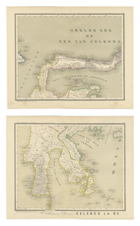
Maps and Sea Charts · Celebes
Antique Two-Sheet Map of Celebes Sulawesi, Dornseiffen, Dutch East Indies, 1884
1884 · 48.5 × 39 cm£370
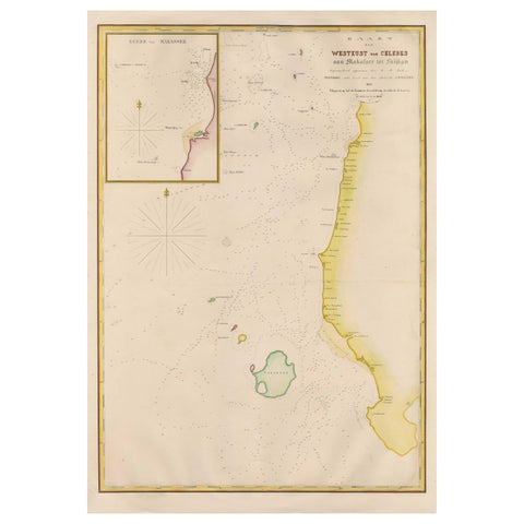
Maps and Sea Charts · Celebes
Large Antique Map of the west coast of Celebes, Sulawesi, Indonesia
1848 · 54.3 × 77.4 cm£360
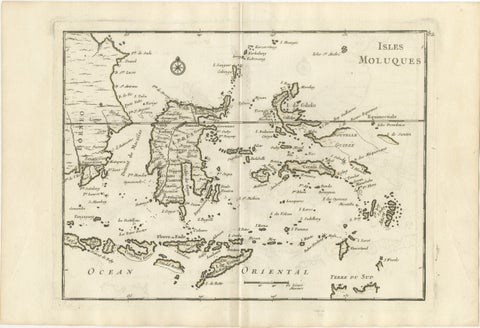
Maps and Sea Charts · Celebes
Antique Map of the Moluccas & Celebes, Le Rouge, French Engraving c.1750
1750 · 35.7 × 24.4 cm£330
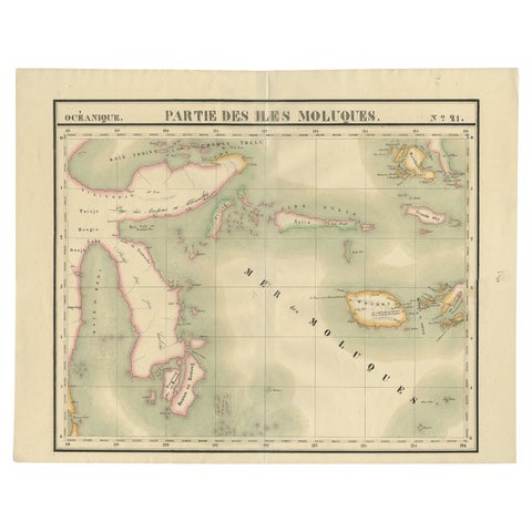
Maps and Sea Charts · Celebes
Old Map of the Moluccas and Part of Sulawesi Indonesia by Vandermaelen, c 1825
1825 · 67 × 53 cm£285
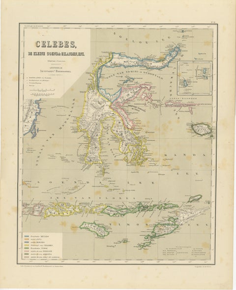
Maps and Sea Charts · Celebes
Antique Colonial Map of Celebes Sulawesi & Lesser Sunda Islands, 1884
1884 · 39 × 48.5 cm£245
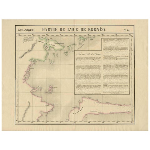
Maps and Sea Charts · Borneo
Antique Map of North East Borneo and North Sulawesi by P.M.G. Vandermaelen
Date not stated · 69.6 × 53.3 cm£235
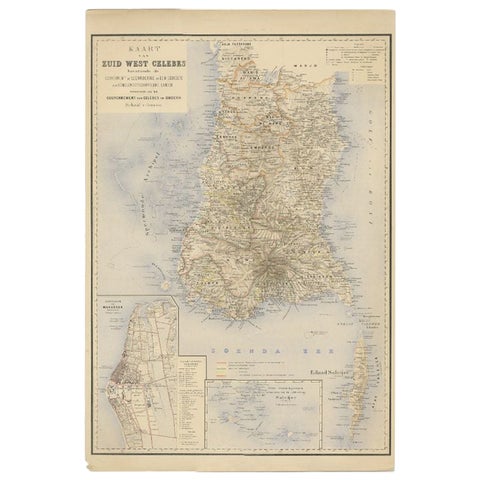
Maps and Sea Charts · Celebes
Antique Map of Southern Sulawesi by Stemfoort, 1885
1885 · 48 × 63 cm£220
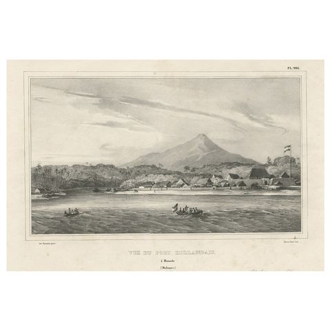
The Company · Celebes
Antique Print of a Dutch Fortress in Manado Bay, Sulawesi, Indonesia, 1833
1833 · 52 × 33 cm£210
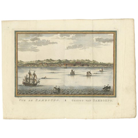
Towns and Landscapes · Celebes
Antique Print of Samboupo ‘Sulawesi, Indonesia’ by J. van Schley, 1750
1750 · 36 × 27 cm£210
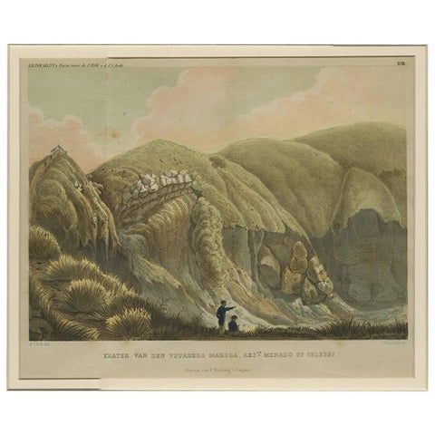
Towns and Landscapes · Celebes
Antique Print with a View of Menado on Celebes 'Indonesia' by C.G.C. Reinwardt
Date not stated · 44.5 × 37 cm£205
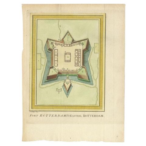
The Company · Celebes
Antique Print of Fort Rotterdam in Makassar 'Ujung Pdang', Sulawesi, Indonesia
circa 1760 · 19 × 26 cm£185
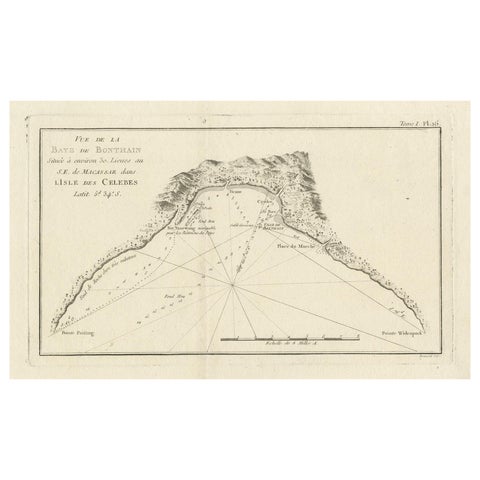
Maps and Sea Charts · Celebes
Antique Map of Bonthain Bay, Sulawesi, Celebes
circa 1774 · 38 × 27.3 cm£185
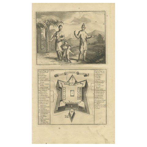
The Company · Celebes
A Macassar Couple and the Fort Rotterdam in Macassar, Celebes (Indonesia)
Date not stated · 20 × 34 cm£185
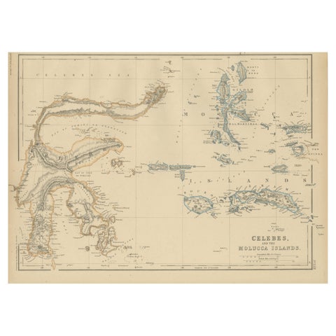
Maps and Sea Charts · Celebes
Antique Map of Celebes and the Maluku Islands by W. G. Blackie, 1859
1859 · 37 × 27 cm£165
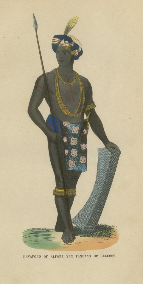
Peoples and Costume · Celebes
Alfur Man of Tondano, Celebes, Antique Hand-Colored Ethnographic Print, 1854
1854£155
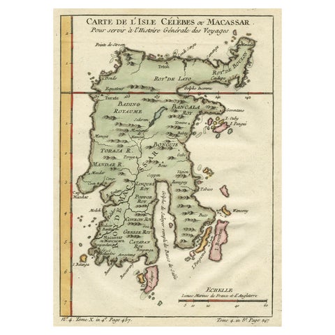
Maps and Sea Charts · Celebes
Antique Map of Celebes 'Sulawesi', Island in Indonesia, c.1750
1750 · 19 × 24.5 cm£150
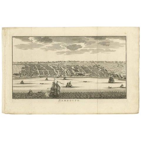
Towns and Landscapes · Celebes
Antique Print of Samboupo ‘Sulawesi, Indonesia’, 1750
1750 · 42.5 × 27 cm£140
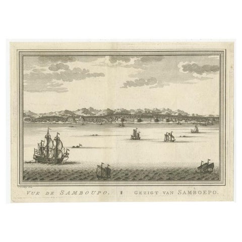
Towns and Landscapes · Celebes
Antique Print of Samboupo, Celebes or Sulawesi in Indonesia, circa 1750
1750 · 29.5 × 21.5 cm£135
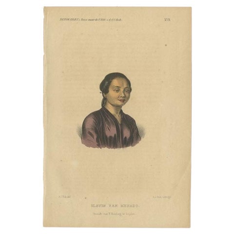
Peoples and Costume · Celebes
Antique Print of a Slave of Manado, Celebes (Sulawesi, Indonesia), 1858
1858 · 15.5 × 23 cm£135
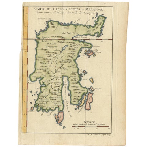
Maps and Sea Charts · Celebes
Antique Map of Celebes 'Sulawesi, Indonesia' by Bellin, ciarca 1755
1755 · 17.7 × 23.5 cm£125
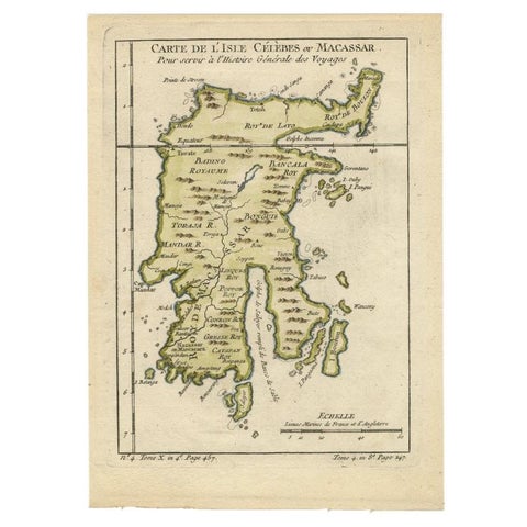
Maps and Sea Charts · Celebes
Antique Map of Celebes 'Sulawesi', Island in Indonesia, 1754
1754 · 17.8 × 24.8 cm£120
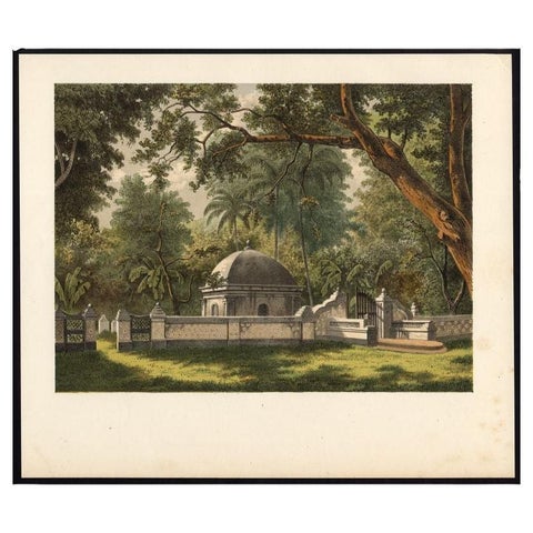
Peoples and Costume · Celebes
Antique Print of a Cemetery in Bontowala, Makassar, Celebes, Indonesia, 1888
1888 · 27.7 × 23.6 cm£115
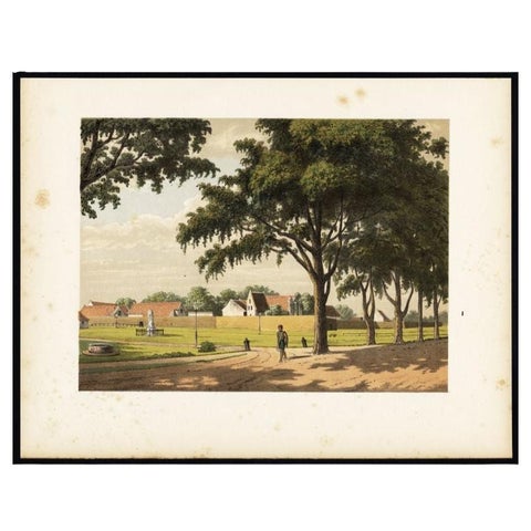
Towns and Landscapes · Celebes
Old Print of Makassar in Celebes, Dutch East Indies or nowadays Indonesia, 1888
1888 · 31 × 24 cm£110
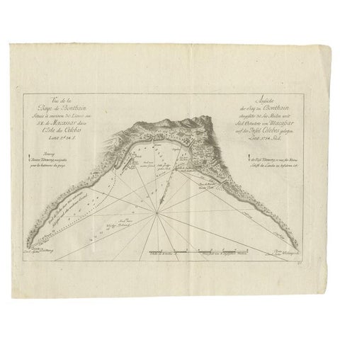
Maps and Sea Charts · Celebes
Antique Map of a Bay Nearby Makassar, Celebes 'Sulawesi)' by Hawkesworth, 1774
1774 · 32.5 × 26.5 cm£95
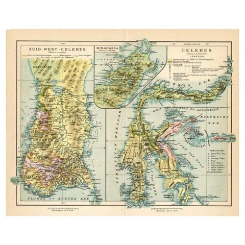
Maps and Sea Charts · Celebes
Antique Map of Sulawesi by Winkler Prins, c.1900
1900 · 31.5 × 25 cm£60
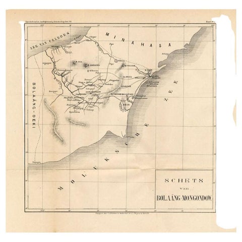
Maps and Sea Charts · Celebes
Antique Map of the Bolaang Mongondow District on Sulawesi by Stemler, c.1875
1875 · 39 × 38 cm£55