Close-ups
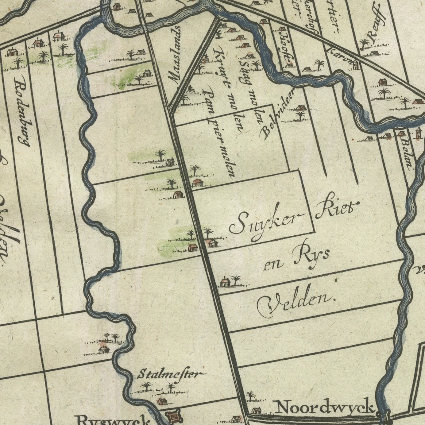
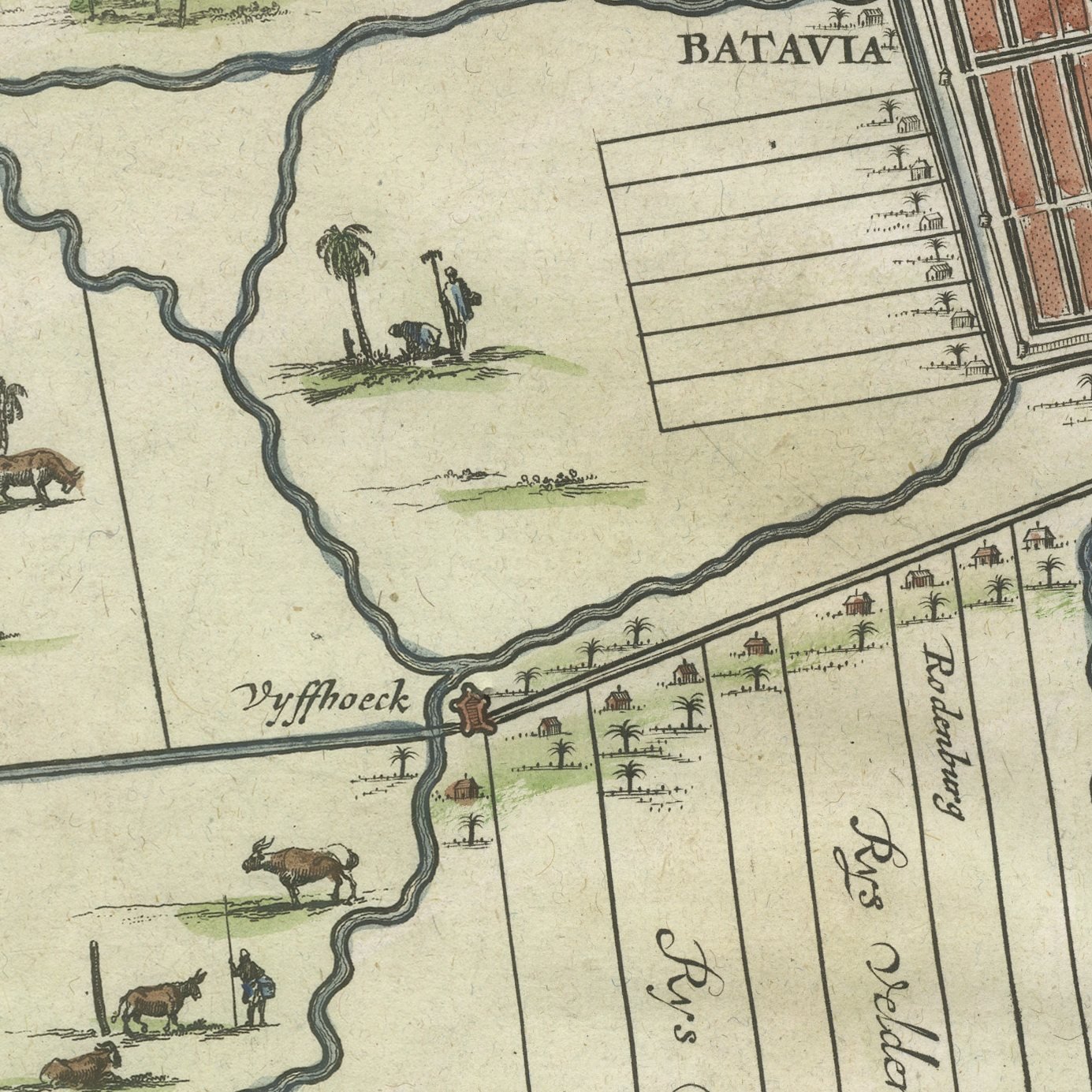
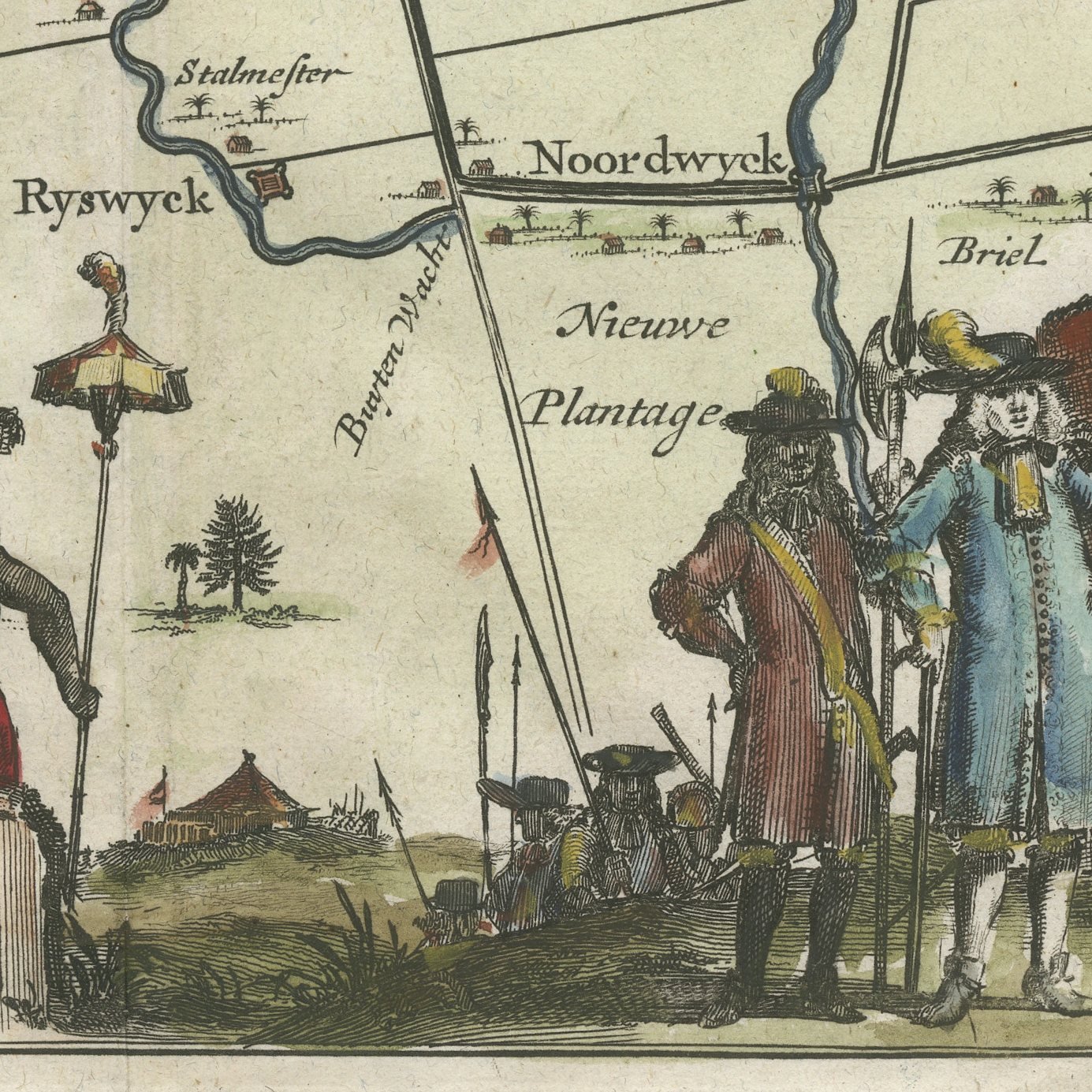
Framed and on the wall
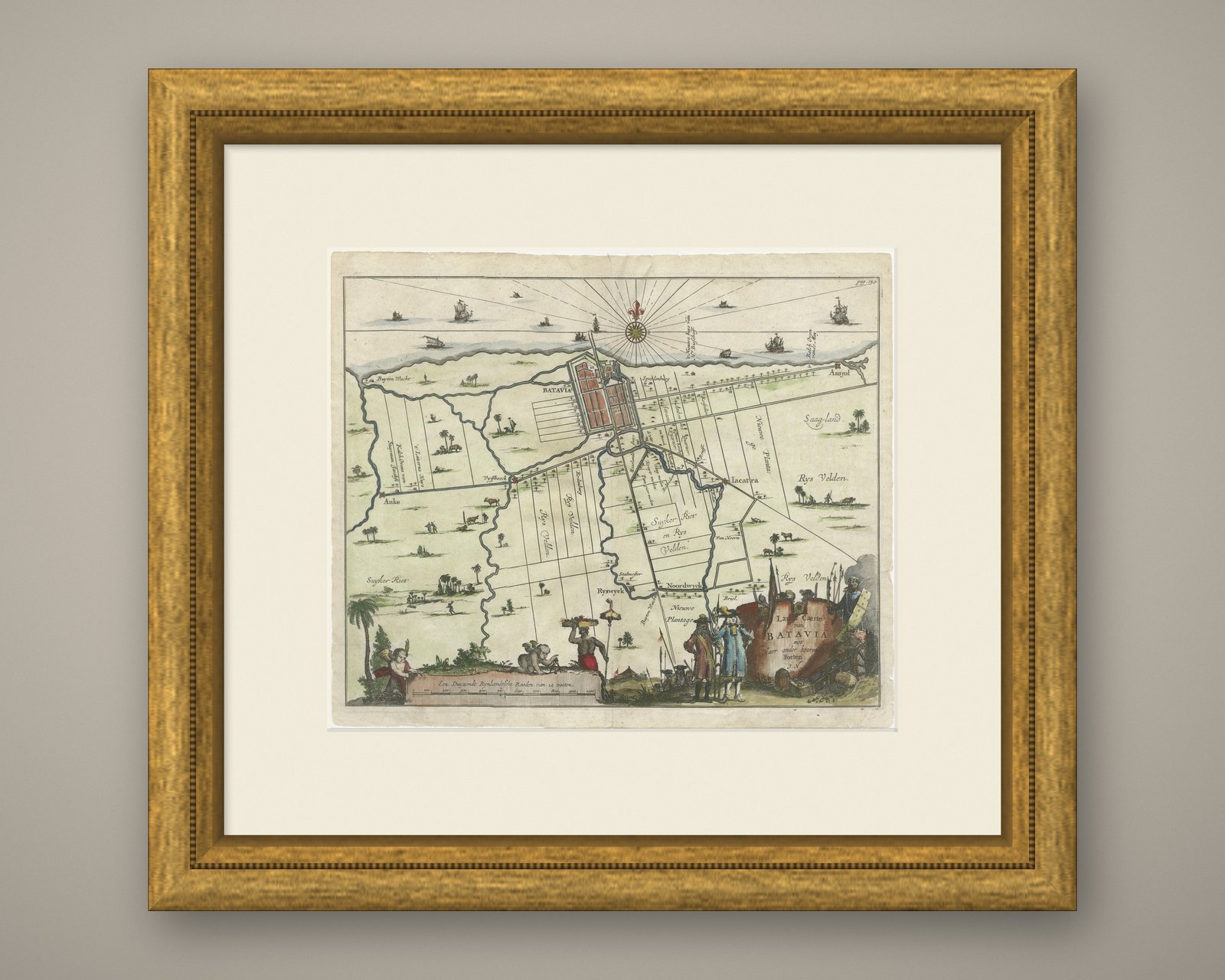
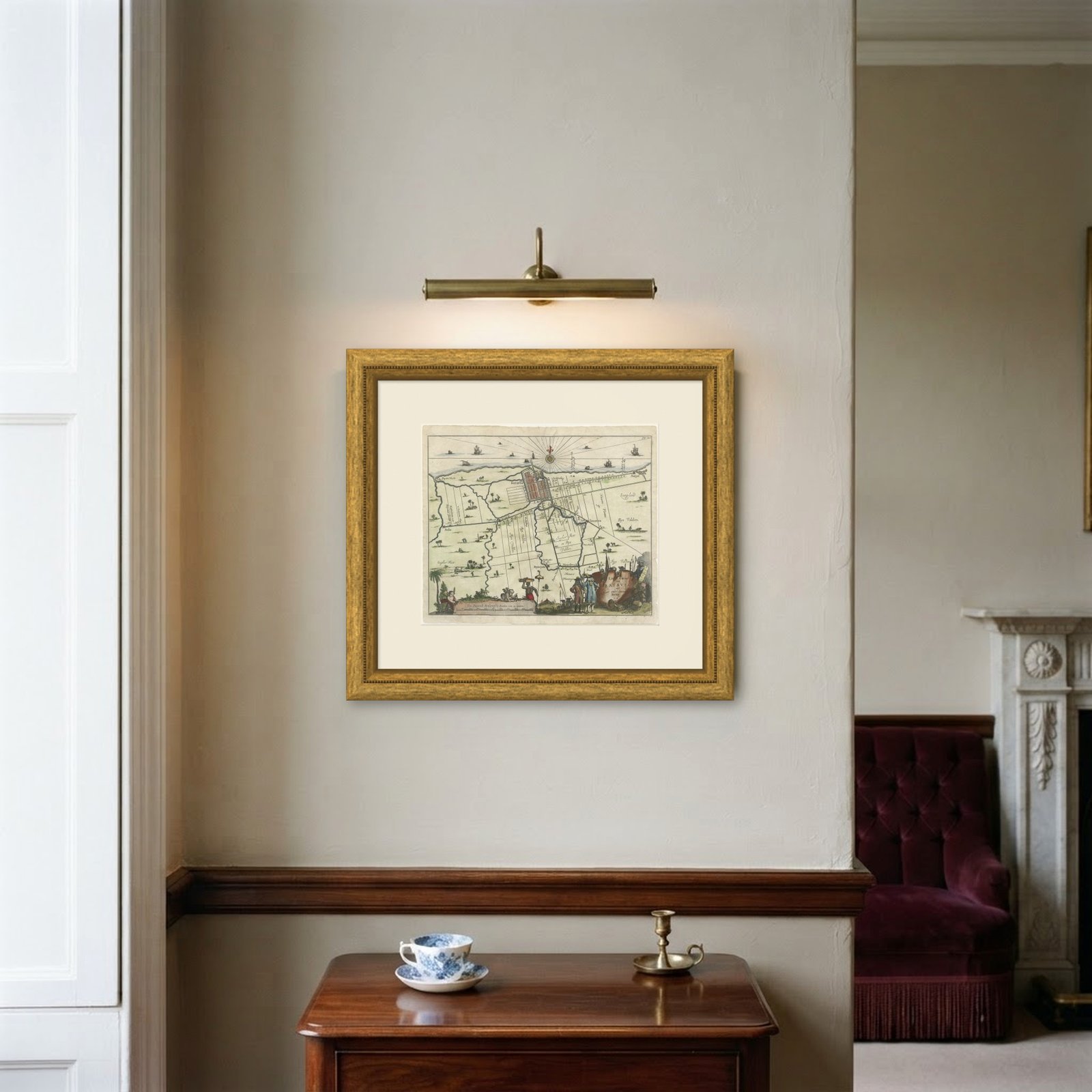
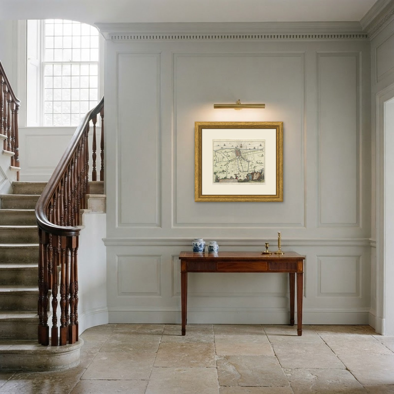
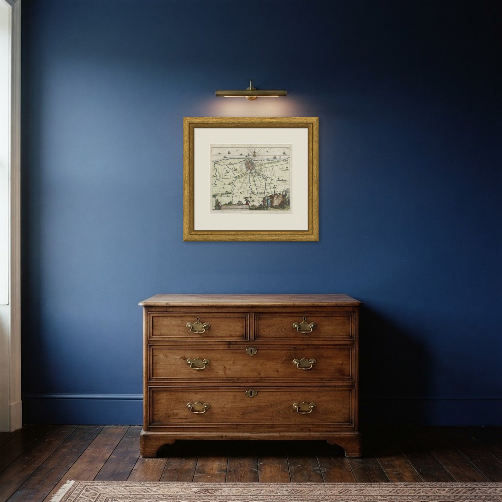
Frame and rooms are illustrations of how the print could look, drawn to its real size; it is sold unframed unless the description says otherwise.
Maps and Sea Charts
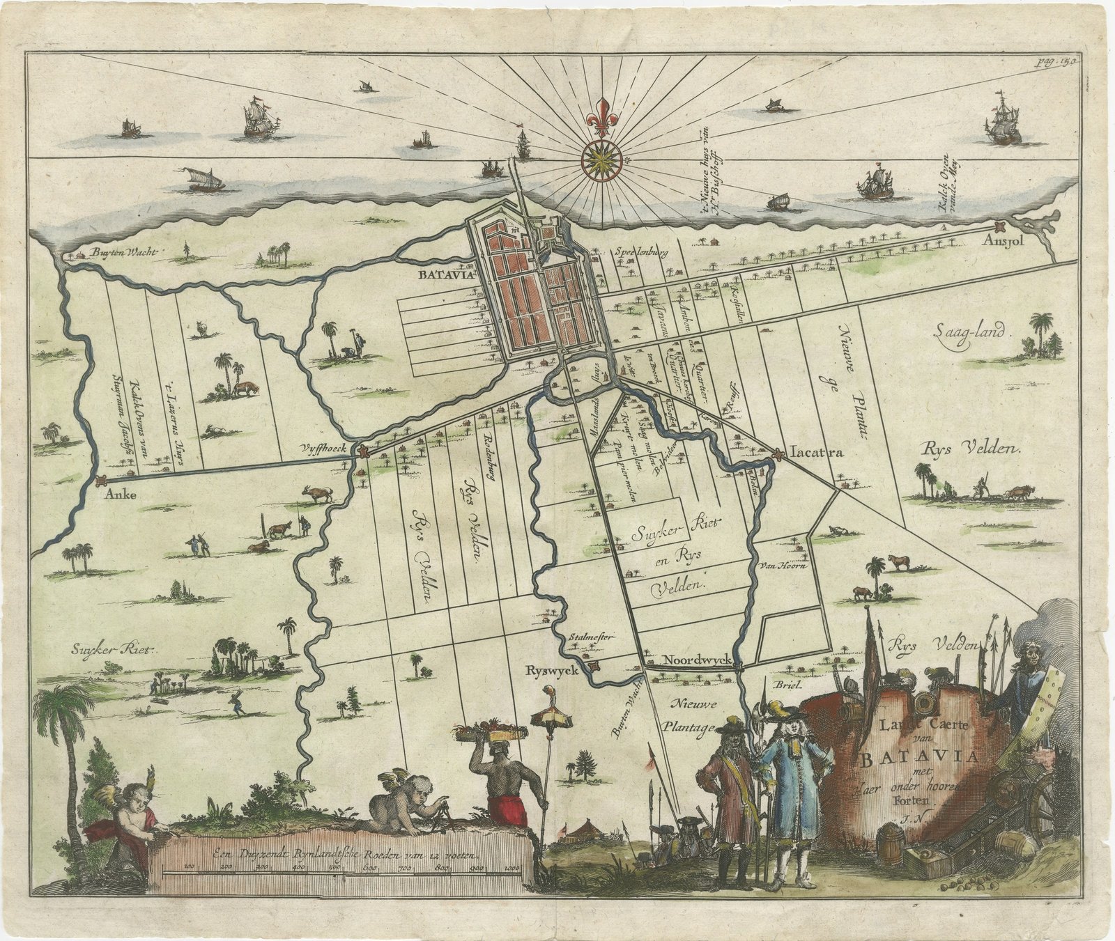
Walled Batavia and Its Outlying Forts, Dutch Engraved Plan, circa 1715
Batavia is now Jakarta.
€490€34330% off
$375 · £285
Original print, not a reproduction
Ships worldwide from the Netherlands, insured and tracked. 14-day returns.
- Date
- circa 1720
- Sheet size
- 12.2 × 14.6 in (31 × 37 cm)
- Technique
- Copper Engraving
- Coloring
- Original hand color
- Condition
- Good. Light uneven toning, browner towards the edges. Handling soiling along the left and top edges. A few small foxing spots in the margin. Slight wear at the top right corner. Minor edge wear, shallow nicks along the right.
- Island
- Java
- Place names
- Batavia is now Jakarta
- Collection
- Maps and Sea Charts
- Period
- The Company, 1700 to 1799
- Stock no.
- M1819
What the condition grades mean
- Excellent
- Bright and clean, with no faults worth mentioning.
- Very good
- Only light signs of age, such as faint toning.
- Good
- Normal signs of age for a sheet of this period: toning, some foxing, small marks or neat old repairs.
- Fair
- Clear faults such as staining, tears or repairs, priced to match.
Every fault we see is written in the condition note, and the whole sheet is shown uncropped in the photos.
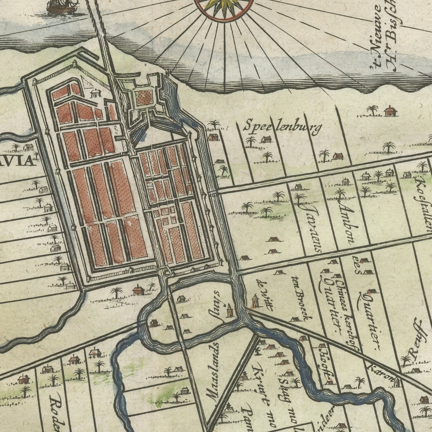
An original antique copper-engraved map of Batavia and the country behind it, with hand color, lettered in the cartouche at the lower right "Lant-Caerte van BATAVIA met daer onder hoorende Forten." The walled city sits on the coast with its grid of canals, and inland the map sets out the sugar-cane and rice fields, the roads and the named outlying posts: Buyten Wacht, Anke, Vyssoeck, Ryswyck, Noordwyck, Briel, Jacatra, Ansjol, Saag-land and Nieuwe Plantage. The cartouche is a piece of engraving in its own right, carried by putti and flanked by two standing European figures in full seventeenth-century dress and a seated figure with a bale of goods, while palms, cattle and a tiger fill the space around it. The scale bar is lettered "Een Duyzendt Reynlandsche Roeden van 12 voeten".
The sheet carries no engraver's or publisher's imprint and no publication is named on it. The style of the engraving, the decorative cartouche and the printed page reference "pag. 150" at the upper right indicate that it comes from a Dutch folio of the early 18th century, probably a travel account or a history of the Indies published between about 1700 and 1730; the attribution is open and no title is claimed for it here. It is an original copper engraving with hand color, believed to be contemporary with the printing, and the subject, lettered in Dutch on the plate itself, is certain.
What makes this plan useful is that it looks past the walls. Most engraved views of Batavia stop at the city itself; this one names the ring of forts and plantations that fed and defended it, and several of those names, Noordwyck, Ryswyck, Jacatra, Ansjol, survive as districts of modern Jakarta, so the sheet can be read directly against a present-day street map. The decorative cartouche, with its tiger and its merchants, belongs to the confident early years of the Dutch East India Company. It is a map that rewards close looking, and it is best hung at eye level in a study or beside a desk rather than high on a wall.
Light uneven toning, browner towards the edges. Handling soiling along the left and top edges. A few small foxing spots in the margin. Slight wear at the top right corner. Minor edge wear, shallow nicks along the right.
This is an original antique map, not a modern reproduction. This item is sold unframed.
Explore