Close-ups
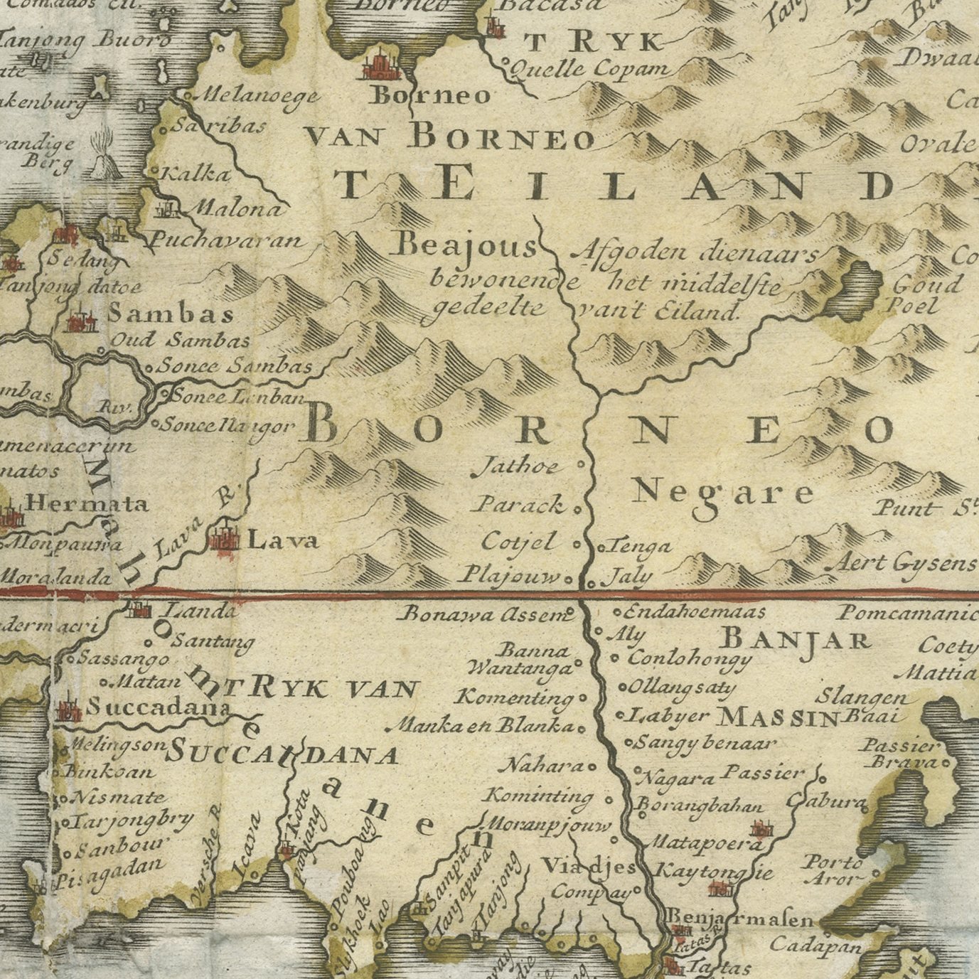
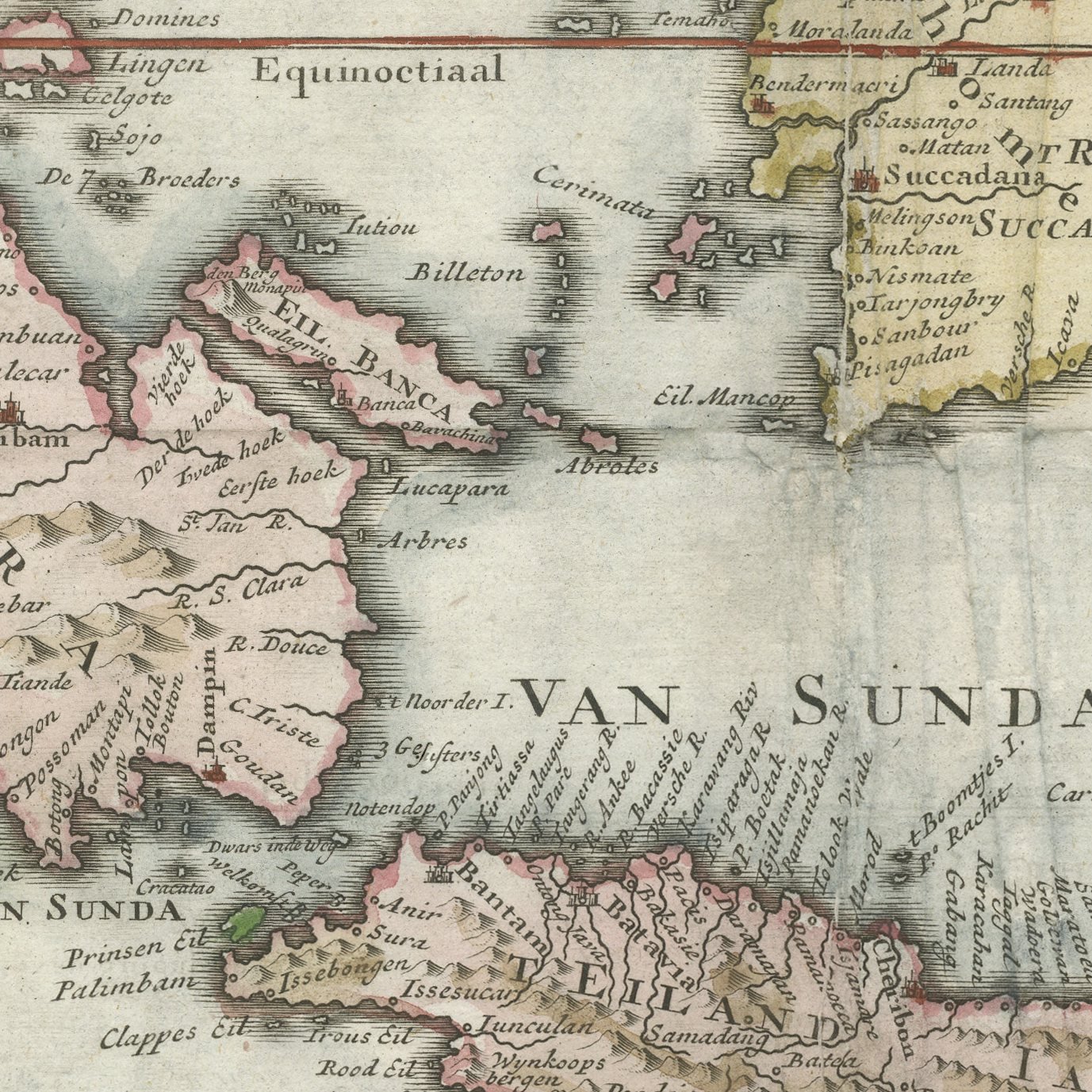
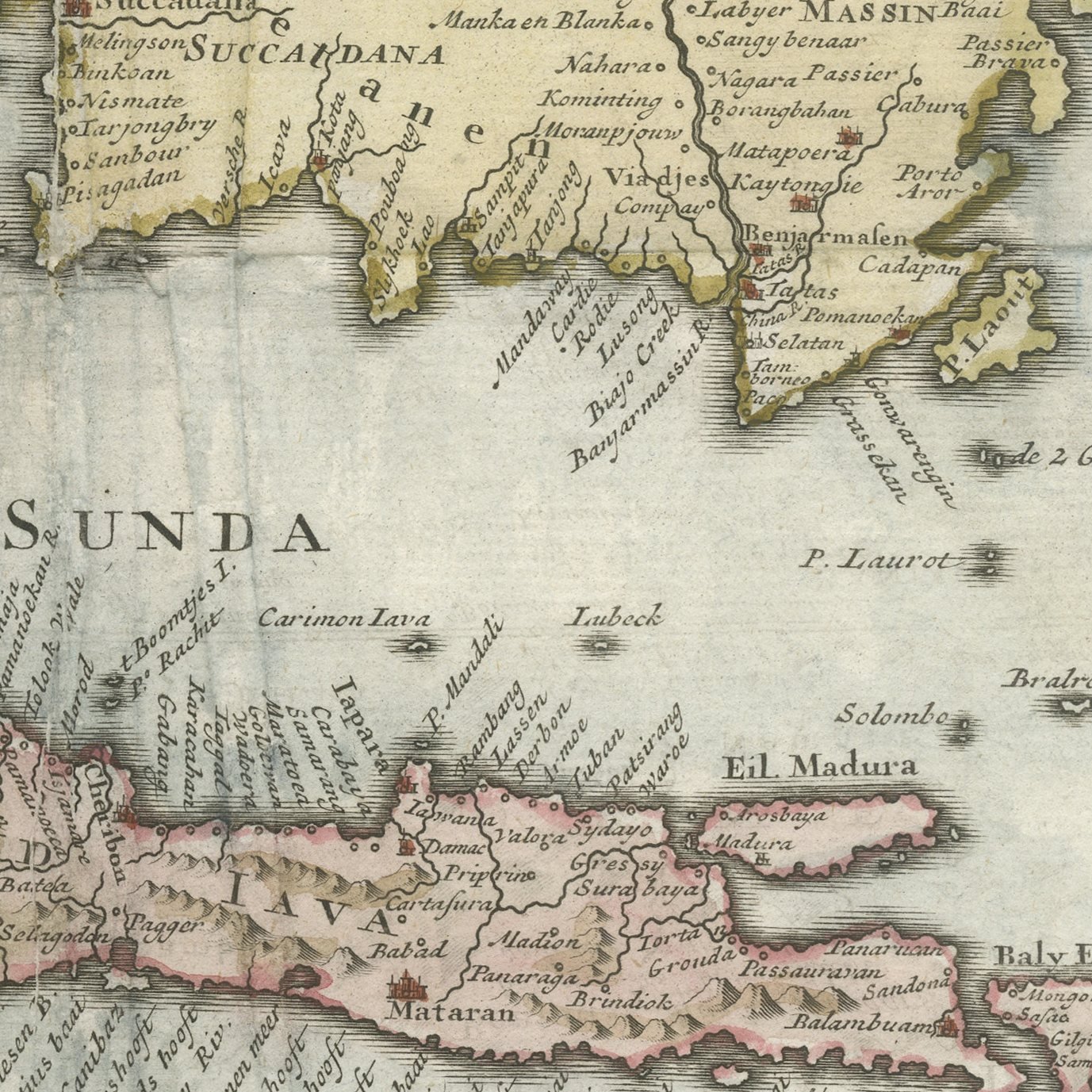
Framed and on the wall
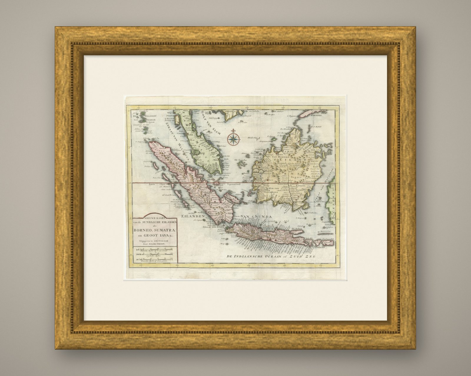
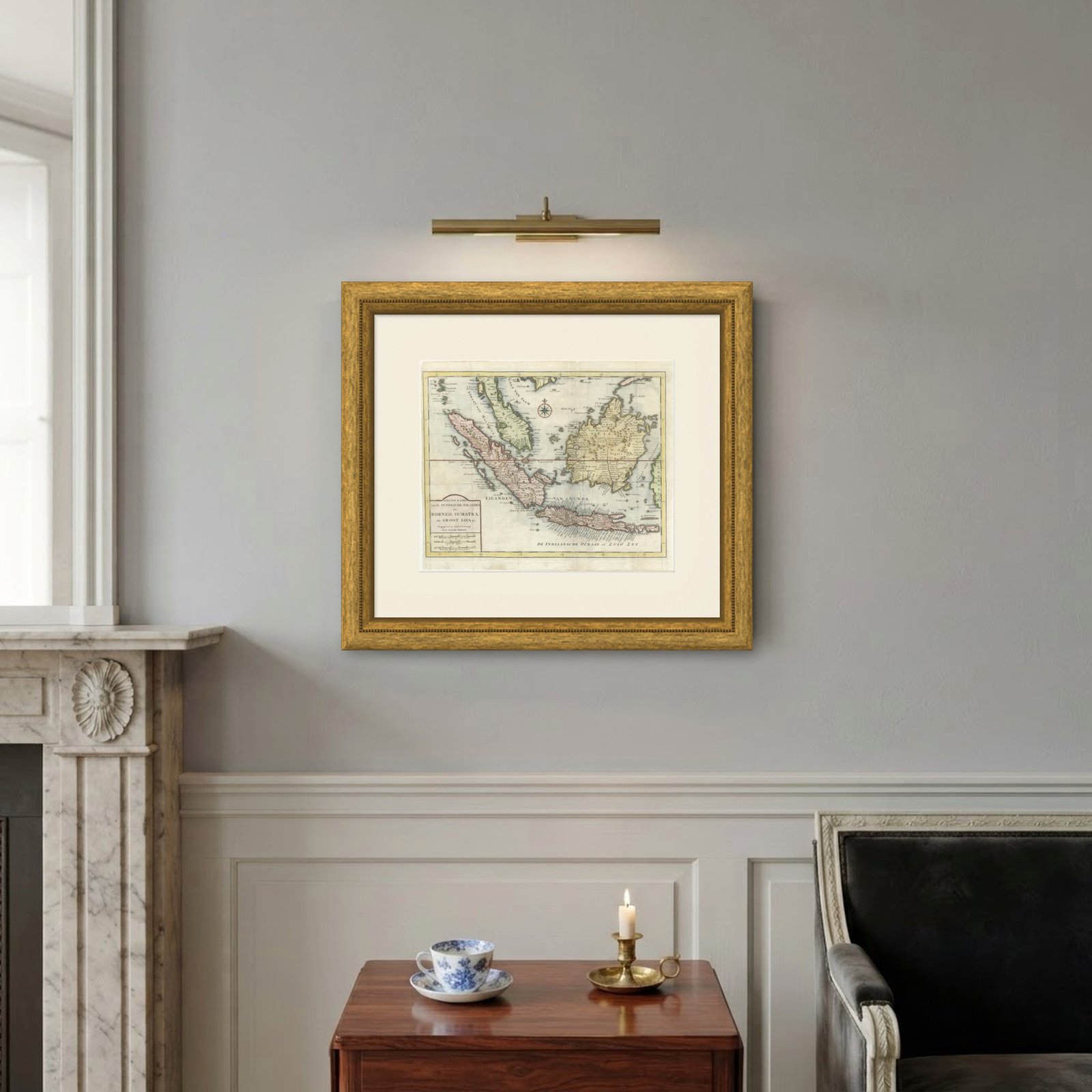

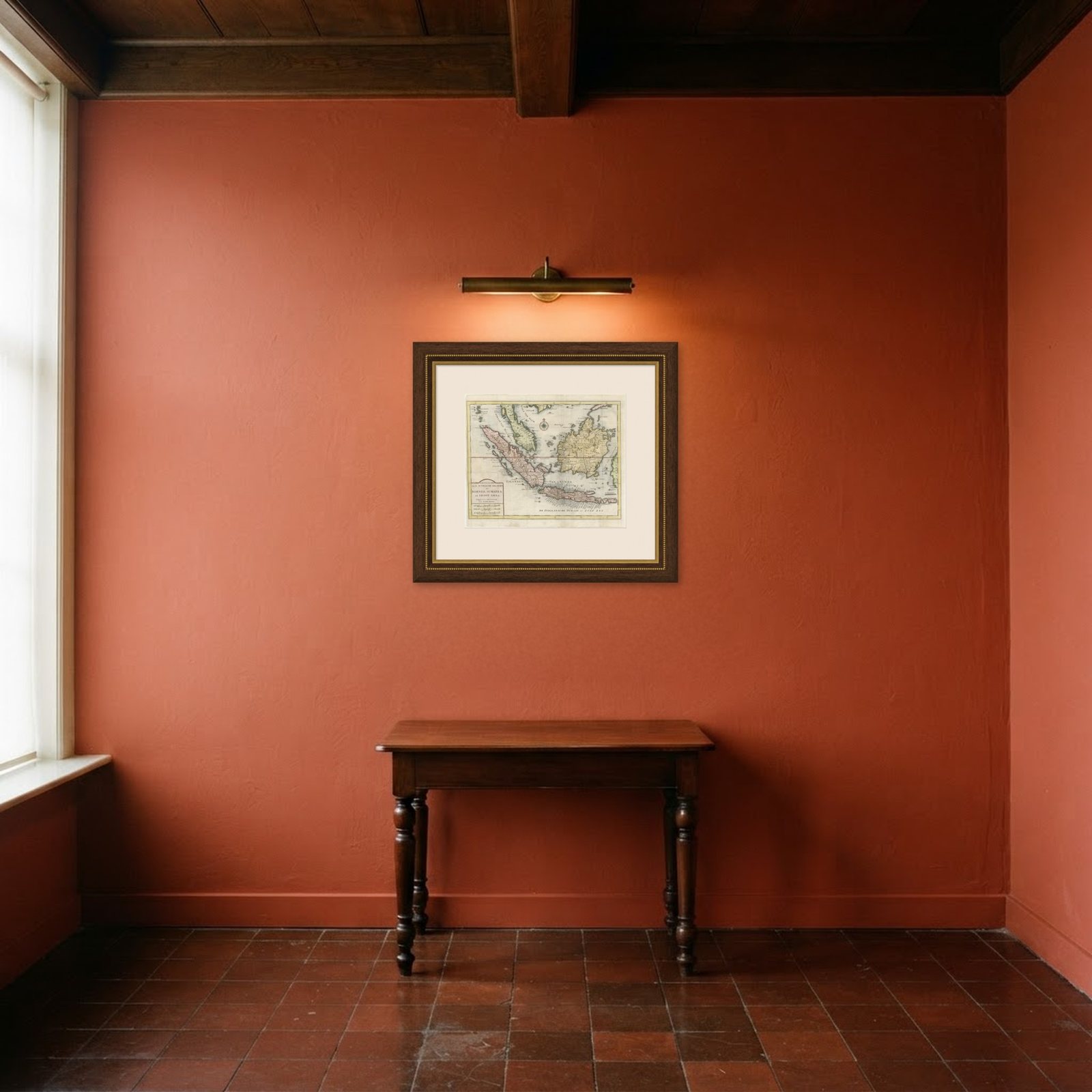
Frame and rooms are illustrations of how the print could look, drawn to its real size; it is sold unframed unless the description says otherwise.
Maps and Sea Charts
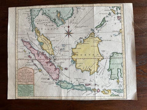
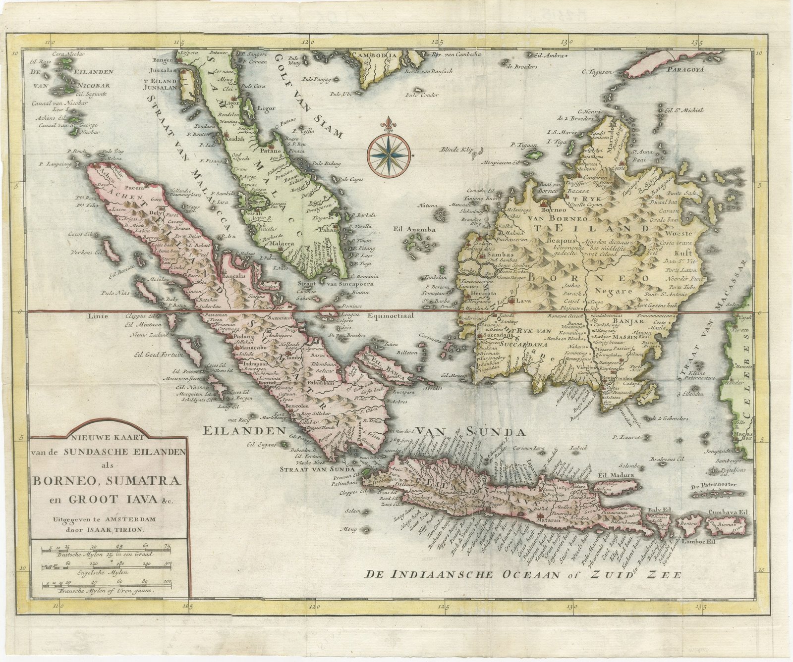
Tirion Map of Borneo, Sumatra and Java with the Strait of Sunda, circa 1755
Borneo is now Kalimantan.
£205£15525% off
$200 · €184
Original print, not a reproduction
Ships worldwide from the Netherlands, insured and tracked. 14-day returns.
- Date
- circa 1755
- Sheet size
- 12.6 × 15 in (32 × 38 cm)
- Technique
- Copper Engraving
- Coloring
- Original hand color
- Condition
- Good. Light uneven toning, browner towards the edges. Marked handling soiling along the left and top edges. Scattered light foxing in the margin. Slight wear at the bottom left corner. Minor edge wear, shallow nicks along the left and right.
- Island
- Java, Sumatra, Borneo
- Place names
- Borneo is now Kalimantan
- Collection
- Maps and Sea Charts
- Period
- The Company, 1700 to 1799
- Stock no.
- M2318
What the condition grades mean
- Excellent
- Bright and clean, with no faults worth mentioning.
- Very good
- Only light signs of age, such as faint toning.
- Good
- Normal signs of age for a sheet of this period: toning, some foxing, small marks or neat old repairs.
- Fair
- Clear faults such as staining, tears or repairs, priced to match.
Every fault we see is written in the condition note, and the whole sheet is shown uncropped in the photos.
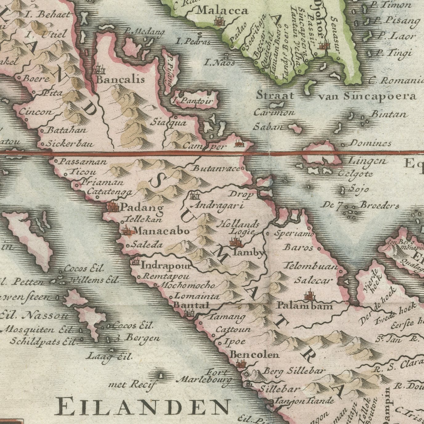
An original hand-colored antique map of the Sunda Islands, engraved on copper and lettered in the cartouche "NIEUWE KAART van de SUNDASCHE EILANDEN als BORNEO, SUMATRA en GROOT JAVA". The map takes in the whole of Sumatra and Java, the greater part of Borneo and the seas between them, with the Strait of Sunda near the center of the sheet and the Indian Ocean opening away to the south and west. Rivers, mountain ranges and the principal settlements are engraved, a compass rose is set in the open sea, and the publisher's name appears in the cartouche as issued at Amsterdam. The hand coloring is in outline, a fine line of color laid along the coasts so that each island reads clearly from a distance.
The map is lettered in the cartouche "Uitgegeven te AMSTERDAM door ISAAK TIRION", and is an original copper engraving with hand coloring in outline. Isaak Tirion, who lived from 1705 to 1765, was the foremost Amsterdam map publisher of the middle of the eighteenth century, and his maps were engraved for the Dutch geographical series "Hedendaagsche Historie of Tegenwoordige Staat van alle Volkeren". This plate was published at Amsterdam circa 1750 to 1760. No engraver is named on the sheet.
Isaak Tirion was the leading Amsterdam map publisher of his generation and his plates were engraved for the Dutch geographical series "Hedendaagsche Historie of Tegenwoordige Staat van alle Volkeren", the standard reference work of the mid-eighteenth-century Dutch reader. His maps are clean, well lettered and legible across a room, which is why they hang better than many more ornate productions. This one covers the islands at the heart of the Dutch East Indies on a single plate, so it works as the anchor map for a collection of views of Java, Sumatra and Borneo: hang it in the middle with smaller topographical prints around it and the whole group gains a context.
Light uneven toning, browner towards the edges. Marked handling soiling along the left and top edges. Scattered light foxing in the margin. Slight wear at the bottom left corner. Minor edge wear, shallow nicks along the left and right.
This is an original antique map, not a modern reproduction. This item is sold unframed.
Explore