Close-ups
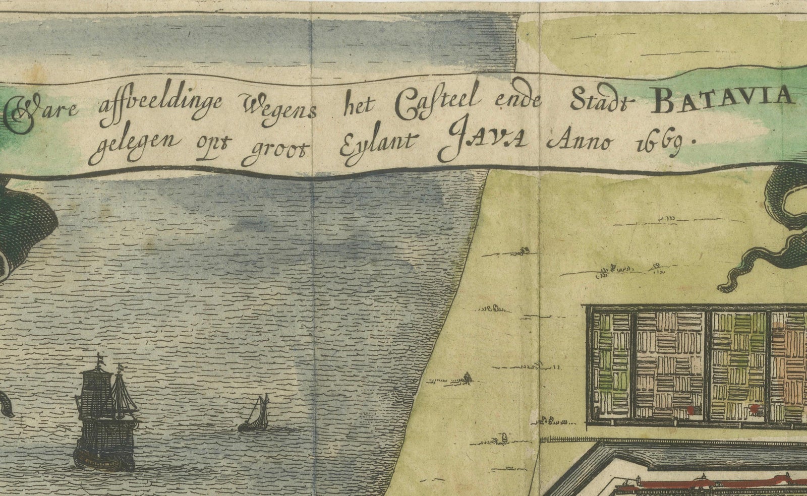
Framed and on the wall
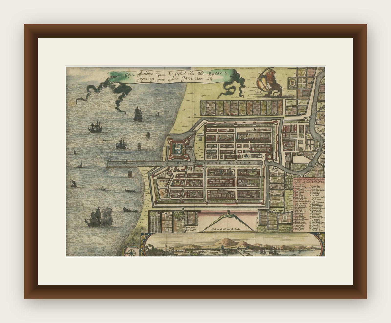


Frame and rooms are illustrations of how the print could look, drawn to its real size; it is sold unframed unless the description says otherwise.
Maps and Sea Charts
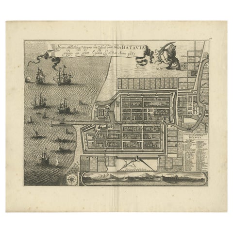
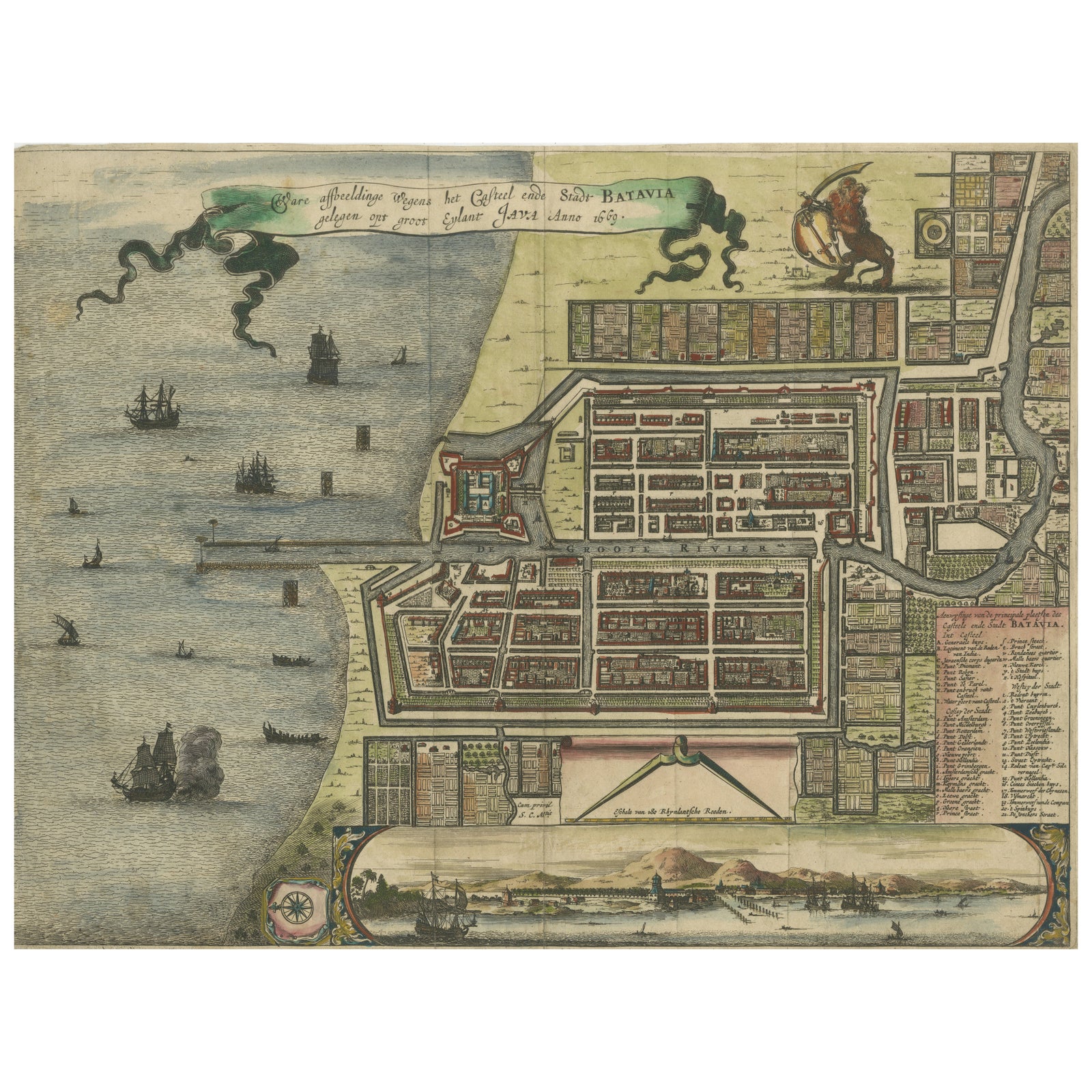
Rare 17th Century Map of Batavia and Castle on Java by Isaac de l'Obel
Batavia is now Jakarta.
$740
€660 · £555
Original print, not a reproduction
Ships worldwide from the Netherlands, insured and tracked. 14-day returns.
- Date
- circa 1681
- Sheet size
- 10.7 × 14.2 in (27.1 × 36 cm)
- Condition
- Good. The map is in good condition with original hand coloring, minor toning consistent with age, and a central fold as issued. A few small repaired tears at the edges do not affect the image. The paper is strong and well-preserved, but short margins.
- Island
- Java
- Place names
- Batavia is now Jakarta
- Collection
- Maps and Sea Charts
- Period
- The spice race, before 1700
- Stock no.
- f_45460262
- Color
- Hand colored
What the condition grades mean
- Excellent
- Bright and clean, with no faults worth mentioning.
- Very good
- Only light signs of age, such as faint toning.
- Good
- Normal signs of age for a sheet of this period: toning, some foxing, small marks or neat old repairs.
- Fair
- Clear faults such as staining, tears or repairs, priced to match.
Every fault we see is written in the condition note, and the whole sheet is shown uncropped in the photos.
Rare 17th Century Map of Batavia and Castle on Java by Isaac de l'Obel
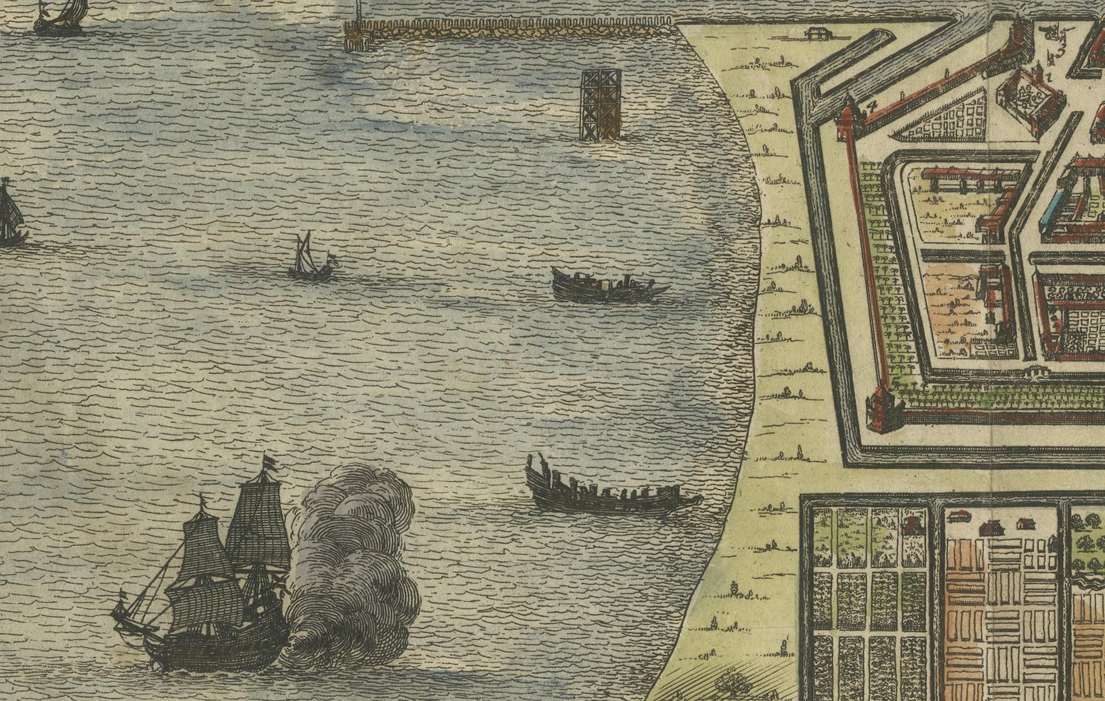
This finely detailed and vividly hand-colored copperplate engraving offers a rare and early view of Batavia (present-day Jakarta), the colonial capital of the Dutch East Indies, as it appeared in the late 17th century. The map is titled Waere affbeeldinge Wegens het Casteel ende Stadt BATAVIA/gelegen opt groot Eylant JAVA Anno 1681, and though the date 1669 appears in the title cartouche, this impression likely dates from around 1681. It is attributed to the noted Dutch cartographer and publisher Isaac de l'Obel.
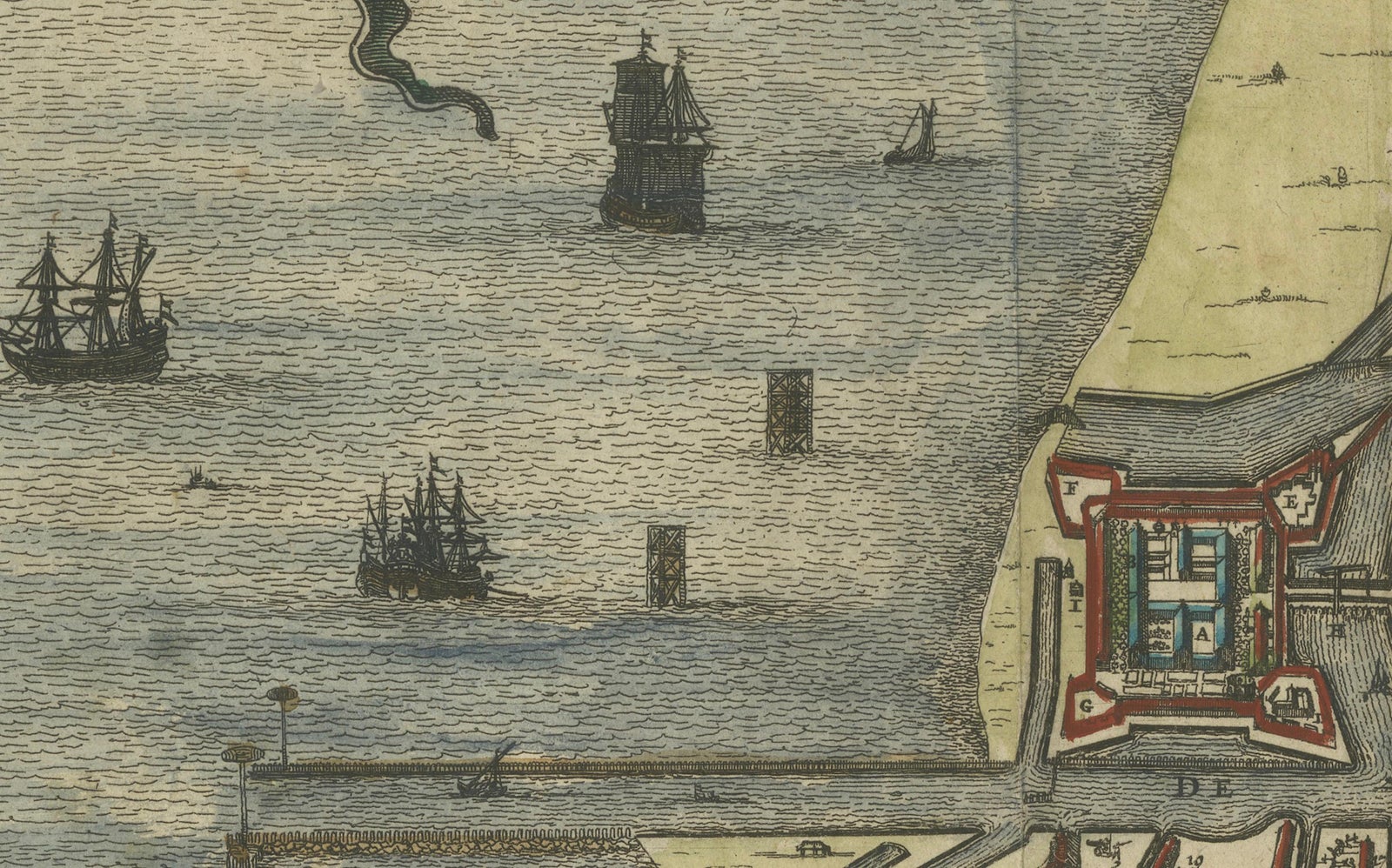
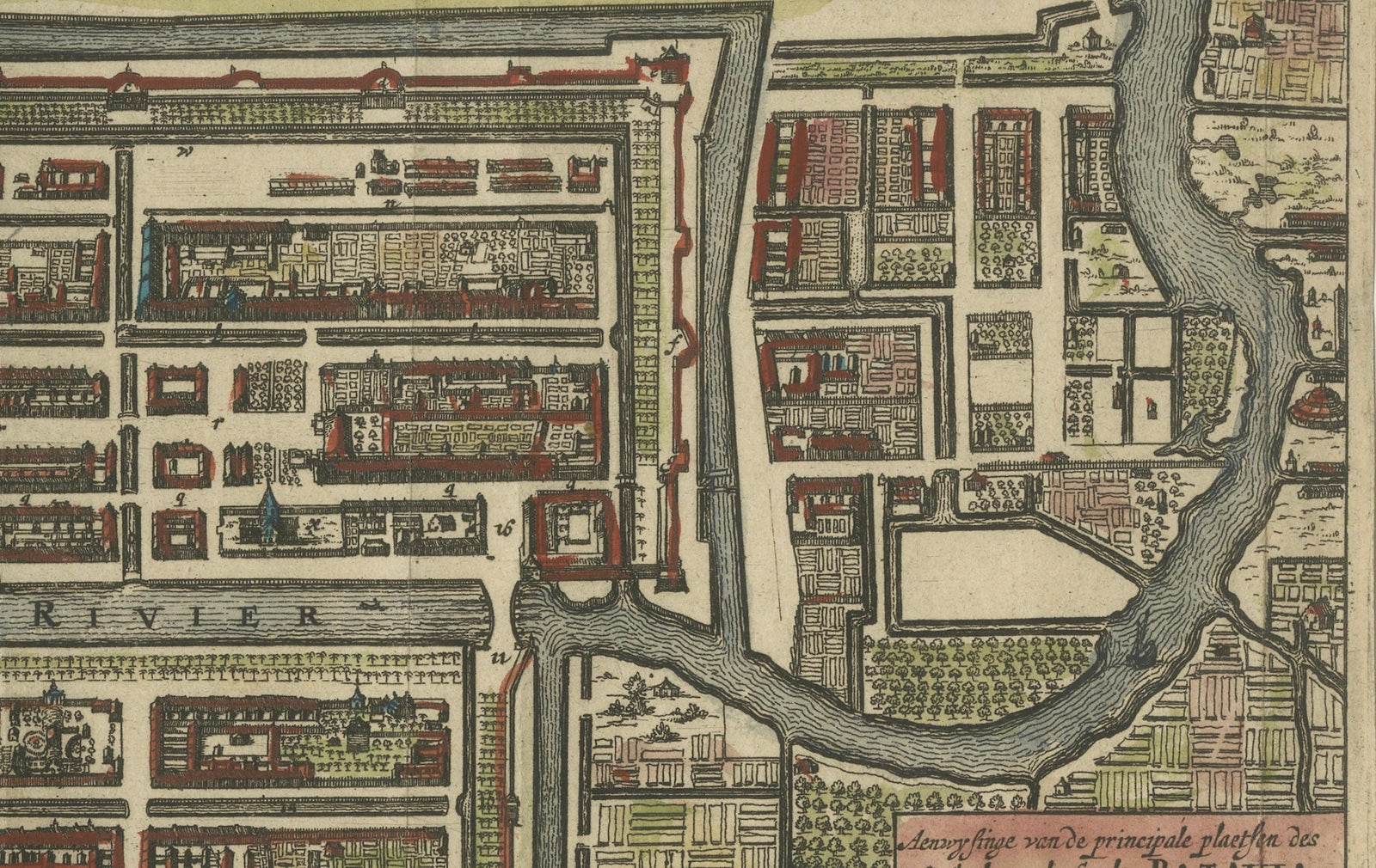
Batavia, founded in 1619 by the Dutch East India Company (VOC), was designed as a fortified port city on the north coast of Java to serve as the administrative and commercial hub for VOC operations in Asia. This map provides a strikingly geometric and highly structured view of the city, showing the fortifications, street plans, canals, and key structures of Batavia. It includes a prominent depiction of the castle (Kasteel van Batavia), city walls, military bastions, canals, administrative buildings, and orderly Dutch-style residential blocks.
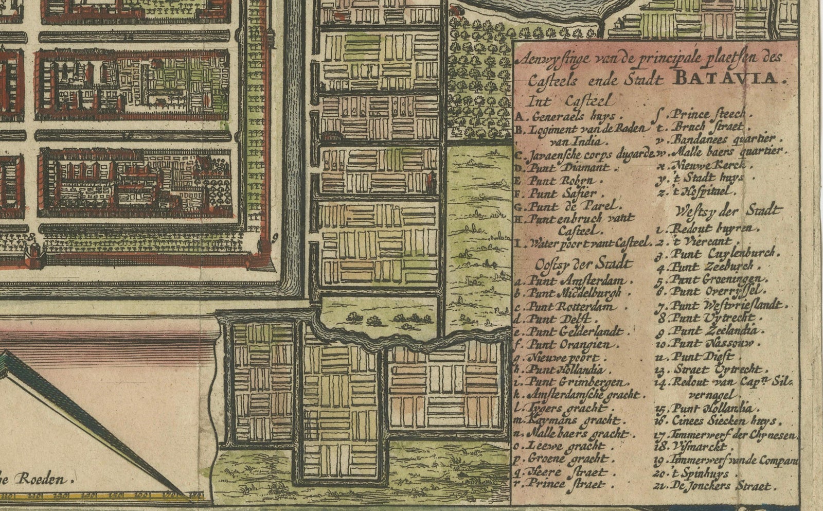
The city’s carefully planned grid and hydraulic system of canals reflect the influence of Amsterdam's urban layout, adapted to the tropical environment of Java. The prominent legend on the lower right lists over 60 numbered points of interest in the city, likely corresponding to churches, markets, government offices, warehouses, and quarters of various ethnic communities.
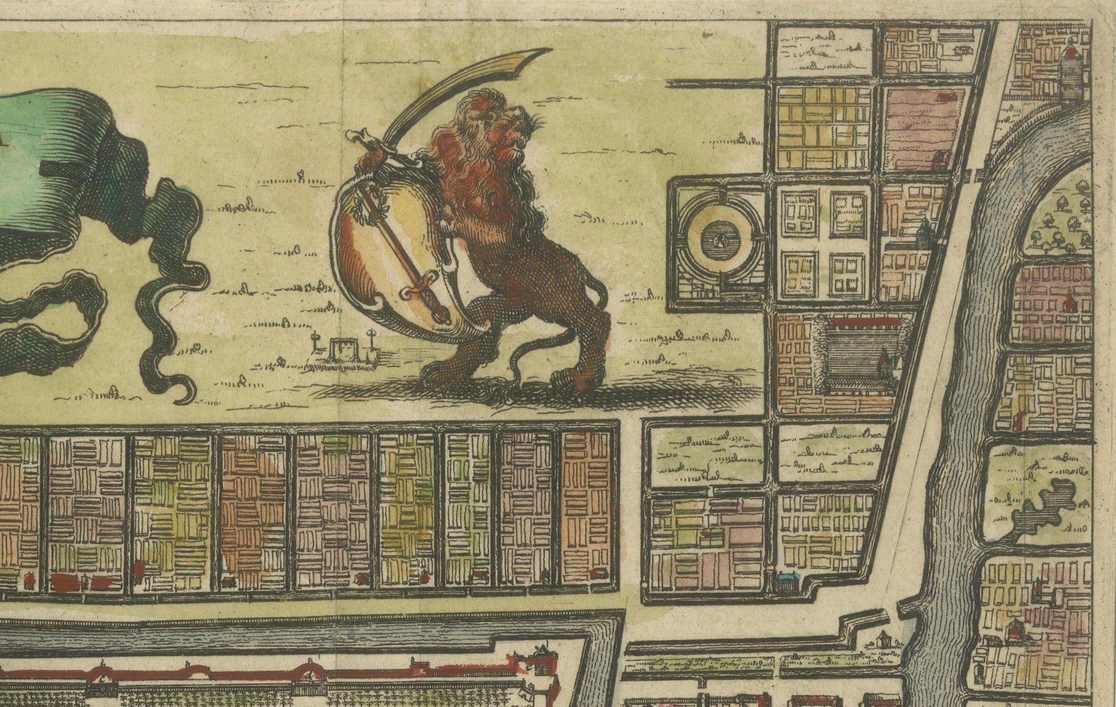
At the bottom is a wide panoramic inset view of Batavia from the sea, showing VOC ships anchored in the harbor and the mountainous coastline in the distance. The map is further embellished with decorative cartouches, a compass rose, and a crowned lion holding a Dutch shield, reinforcing its colonial identity.
Condition summary:
The map is in good condition with original hand coloring, minor toning consistent with age, and a central fold as issued. A few small repaired tears at the edges do not affect the image. The paper is strong and well-preserved, but short margins.
Framing suggestions:
This important and visually striking colonial-era map would be well-suited to a classic dark wooden or ebonized frame with a museum-grade mat in ivory or pale beige. A UV-protective glass is recommended to preserve the original coloring. Ideal for collectors of VOC history, Dutch colonial cartography, or Southeast Asian maritime trade, this map is both a decorative and historically significant item.